Aylesbeare Hill

Hill, Mountain in Devon East Devon

England

Aylesbeare Hill

Rockbeare Hill New Trig Point Flush Bracket S5507
Rockbeare Hill New Trig Point Flush Bracket S5507 Credit: thejackrustles

Aylesbeare Hill is a prominent geographical feature located in the county of Devon, England. Situated in the East Devon Area of Outstanding Natural Beauty, it is a significant hill that offers breathtaking views of the surrounding countryside. With an elevation of approximately 220 meters (720 feet), Aylesbeare Hill is not classified as a mountain but rather a notable hill in the region.

Covered in picturesque heathland, the hill is part of the larger Aylesbeare Common, a diverse nature reserve that spans over 200 hectares. The common is home to a variety of rare and protected species, including the nightjar, Dartford warbler, and silver-studded blue butterfly. This makes Aylesbeare Hill a popular destination for nature enthusiasts, birdwatchers, and hikers looking to explore the unique flora and fauna of the area.

Access to Aylesbeare Hill is provided through a network of well-maintained paths and trails, allowing visitors to navigate the hill easily. The summit of the hill offers panoramic views of the surrounding countryside, including glimpses of the nearby East Devon coastline.

The hill is also steeped in history, with evidence of human activity dating back to the Bronze Age. Archaeological finds, such as barrows and burial mounds, can be discovered in the vicinity, adding to the cultural significance of the area.

Overall, Aylesbeare Hill in Devon is a remarkable natural feature that offers both scenic beauty and ecological importance. Its accessibility, diverse wildlife, and historical significance make it a popular destination for outdoor enthusiasts and those seeking a deeper connection with the natural world.

If you have any feedback on the listing, please let us know in the comments section below.

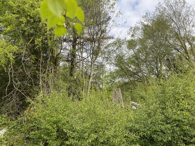
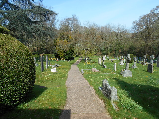
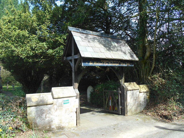
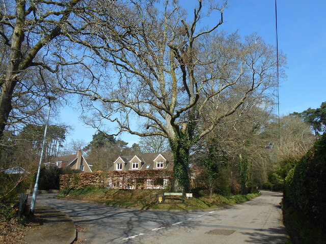
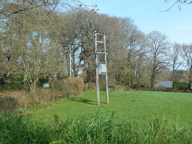
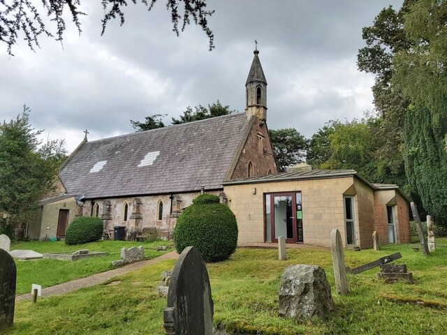
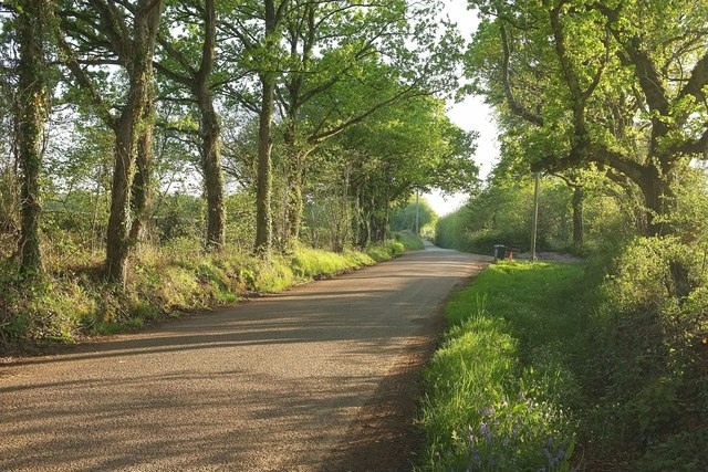
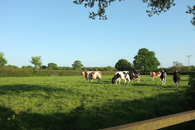
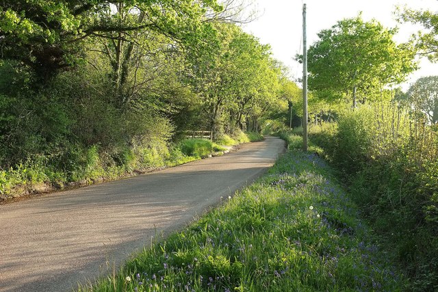
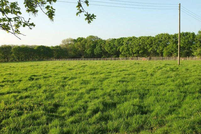
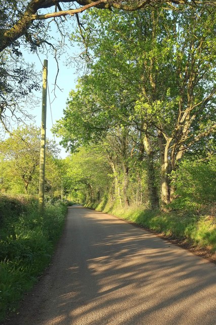
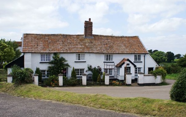
Aylesbeare Hill Images

Images are sourced within 2km of 50.726511/-3.3358673 or Grid Reference SY0592. Thanks to Geograph Open Source API. All images are credited.

Rockbeare Hill New Trig Point Flush Bracket S5507
Churchyard view Looking north from the church of St Michael the Archangel.
Churchyard view
Looking north from the church of St Michael the Archangel.
Lichgate to St Michael the Archangel West Hill A mid Victorian church still serving the small community of West Hill.
Lichgate to St Michael the Archangel West Hill
A mid Victorian church still serving the small community of West Hill.
Broardoak Close Complete with an Oak tree on the corner.
Broardoak Close
Complete with an Oak tree on the corner.
Power lines in a field Broad Oak Road, West Hill.
Power lines in a field
Broad Oak Road, West Hill.
St Michael's Church at West Hill A view of St Michael's Church at West Hill in Devon as seen from the churchyard.
St Michael's Church at West Hill
A view of St Michael's Church at West Hill in Devon as seen from the churchyard.
School Lane in West Hill Looking along School Lane in West Hill, Devon. The entrance on the right is into the British Legion Club car park.
School Lane in West Hill
Looking along School Lane in West Hill, Devon. The entrance on the right is into the British Legion Club car park.
Mulberry House in West Hill This is the gated entrance of Mulberry House, a private residence on School Lane situated in West Hill, Devon.
Mulberry House in West Hill
This is the gated entrance of Mulberry House, a private residence on School Lane situated in West Hill, Devon.
Entrance to a Footpath The entrance to a public footpath that leads south from Elsdon Lane in West Hill, Devon.
Entrance to a Footpath
The entrance to a public footpath that leads south from Elsdon Lane in West Hill, Devon.
A pond in a field Podgers pit junction.
Close to the B3180 and Harp Lane.
A pond in a field
Podgers pit junction. Close to the B3180 and Harp Lane.
Harp Lane junction Linked to the B3180 at the strangely named Podgers Pit.
Harp Lane junction
Linked to the B3180 at the strangely named Podgers Pit.
Marsh Green The junction with its signpost, shown in <a href="https://www.geograph.org.uk/photo/1688799">SY0493 : Marsh Green crossroads</a>. On the left is Rose Cottage, also shown in <a href="https://www.geograph.org.uk/photo/143607">SY0493 : Marsh Green</a> and described at <span class="nowrap"><a title="https://www.historicengland.org.uk/listing/the-list/list-entry/1315884" rel="nofollow ugc noopener" href="https://www.historicengland.org.uk/listing/the-list/list-entry/1315884">Link</a><img style="margin-left:2px;" alt="External link" title="External link - shift click to open in new window" src="https://s1.geograph.org.uk/img/external.png" width="10" height="10"/></span> .
Marsh Green
The junction with its signpost, shown in SY0493 : Marsh Green crossroads. On the left is Rose Cottage, also shown in SY0493 : Marsh Green and described at LinkExternal link .
Oak Road The lane from Tipton Cross to Aylesbeare passes a triangle of access land on the left.
Oak Road
The lane from Tipton Cross to Aylesbeare passes a triangle of access land on the left.
Cattle, Marsh Green Near Cotties farm by Quarter Mile lane.
Cattle, Marsh Green
Near Cotties farm by Quarter Mile lane.
Bus shelter and war memorial, Marsh Green I've rather duplicated David's image of <a href="https://www.geograph.org.uk/photo/1904202">SY0493 : Bus shelter and war memorial, Marsh Green</a>, with the addition of the main village street at the junction with the lane into Manor Farm.
Bus shelter and war memorial, Marsh Green
I've rather duplicated David's image of SY0493 : Bus shelter and war memorial, Marsh Green, with the addition of the main village street at the junction with the lane into Manor Farm.
Oak Road A lane running from Tipton Cross to Aylesbeare, and a verge covered with bluebells.
Oak Road
A lane running from Tipton Cross to Aylesbeare, and a verge covered with bluebells.
Field by Oak Trees Looking to the right from the spot where <a href="https://www.geograph.org.uk/photo/4951798">SY0592 : Oak Road</a> was taken. Continuous trees surround a field bisected by a timber fence.
Field by Oak Trees
Looking to the right from the spot where SY0592 : Oak Road was taken. Continuous trees surround a field bisected by a timber fence.
Oak Road The lane shown a little further northeast in <a href="https://www.geograph.org.uk/photo/4958156">SY0592 : Oak Road</a>. <a href="https://www.geograph.org.uk/photo/4958168">SY0592 : Field by Oak Trees</a> looks to the left from here.
Oak Road
The lane shown a little further northeast in SY0592 : Oak Road. SY0592 : Field by Oak Trees looks to the left from here.
Show me another place!

Aylesbeare Hill is located at Grid Ref: SY0592 (Lat: 50.726511, Lng: -3.3358673)

Administrative County: Devon

District: East Devon

Police Authority: Devon and Cornwall

What 3 Words

///slurs.consoled.narrate. Near Newton Poppleford, Devon

Nearby Locations

Aylesbeare Hill

Related Wikis

Allercombe

Allercombe is a hamlet in east Devon, England. It lies just south of the A30 road between the villages of Whimple and Aylesbeare.

West Hill, Devon

West Hill is a village in the East Devon district of Devon, England. The village lies approximately 2 miles south west of Ottery St Mary, its nearest town...

Marsh Green, Devon

Marsh Green is a small village about 8 miles east of Exeter and 4 miles west of Ottery St Mary in East Devon, England, at OS grid reference SY042936....

Aylesbeare

Aylesbeare is a village and civil parish in the East Devon district of Devon, England, 8 miles (13 km) east of Exeter. According to the 2001 census the...

Nearby Amenities

Located within 500m of 50.726511,-3.3358673
Generator Method: photovoltaic
Generator Output Electricity: yes
Generator Source: solar
Generator Type: solar_photovoltaic_panel
Location: roof
Power: generator
Lat/Long: 50.7287824/-3.3329594
The data included in this document is from www.openstreetmap.org. The data is made available under ODbL.

Have you been to Aylesbeare Hill?

Leave your review of Aylesbeare Hill below (or comments, questions and feedback).