Crosscryne

Hill, Mountain in Peeblesshire

Scotland

Crosscryne

Pair of Horses, Howslack Farm
Pair of Horses, Howslack Farm Credit: Chris Upson

Crosscryne is a prominent hill located in Peeblesshire, Scotland. Situated in the southern part of the county, it forms part of the picturesque Scottish Borders region. With an elevation of approximately 522 meters (1,713 feet), Crosscryne stands as an impressive natural feature in the area.

This hill is known for its distinctive shape and rugged terrain, making it a popular destination for outdoor enthusiasts and hikers. Its slopes are adorned with a mixture of heather, grasses, and scattered shrubs, creating a rich tapestry of colors throughout the year. From the summit, visitors can enjoy breathtaking panoramic views of the surrounding countryside, including the rolling hills and valleys that characterize the region.

Crosscryne is also home to a variety of wildlife, including birds of prey such as buzzards and kestrels, which can often be spotted soaring above the hill. The area is also known for its diverse plant life, with numerous species of wildflowers and mosses found along its slopes.

Access to Crosscryne is relatively straightforward, with a well-defined footpath leading to the summit from a nearby parking area. The hike to the top is moderately challenging, providing a satisfying experience for both seasoned and novice walkers.

Overall, Crosscryne in Peeblesshire offers a beautiful natural setting, stunning views, and an opportunity for outdoor exploration, making it a must-visit destination for nature lovers and hikers in the region.

If you have any feedback on the listing, please let us know in the comments section below.

Crosscryne Images

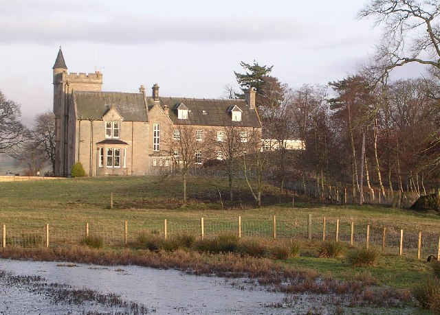
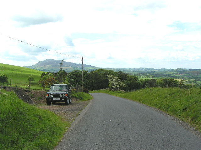
Images are sourced within 2km of 55.601923/-3.503244 or Grid Reference NT0535. Thanks to Geograph Open Source API. All images are credited.

Pair of Horses, Howslack Farm
Copse of Pine Trees, looking towards Goseland Hill
Sheep and Pine Trees Evening light, looking south towards Culter Fell
Sheep and Pine Trees
Evening light, looking south towards Culter Fell
Hartree Hotel, near Biggar
Road near Gosland Looking towards Knowehead Hill
Road near Gosland
Looking towards Knowehead Hill
Looking towards Tinto from the Hartree Hills south of Biggar
The march. A contrast to the snow blasted fence encountered earlier in the day, the Lanarkshire/Peeblesshire boundary follows the Woodgill Burn here. Looking south past Legholmsheils.
The march.
A contrast to the snow blasted fence encountered earlier in the day, the Lanarkshire/Peeblesshire boundary follows the Woodgill Burn here. Looking south past Legholmsheils.
Stone barn, Thripland. Stone barn, still in use at Thripland farm.
Stone barn, Thripland.
Stone barn, still in use at Thripland farm.
The Summit of Goseland Hill View south towards a cloud capped Culter Fell from Goseland Hill (435m). This hill sits on the main watershed of Scotland with the Tweed a short distance to the east and the Clyde a short distance to the west.
The Summit of Goseland Hill
View south towards a cloud capped Culter Fell from Goseland Hill (435m). This hill sits on the main watershed of Scotland with the Tweed a short distance to the east and the Clyde a short distance to the west.
Farmland near Biggar Landscape typical of this agricultural area.
Farmland near Biggar
Landscape typical of this agricultural area.
Countryside south-east of Biggar Largely agricultural area close to the old Peeblesshire/Lanarkshire boundary.  The hill in the distance, in the west, is Tinto
Countryside south-east of Biggar
Largely agricultural area close to the old Peeblesshire/Lanarkshire boundary. The hill in the distance, in the west, is Tinto
Derelict buildings at Southside Farm Looking East along the valley between Goseland Hill and Mitchell Hill with the currently disused farm buildings in the foreground.
Derelict buildings at Southside Farm
Looking East along the valley between Goseland Hill and Mitchell Hill with the currently disused farm buildings in the foreground.
Not so Dreich Half an hour after I was cursing being out on such a dreich day, there was lovely afternoon sunshine catching the larch amongst this plantation south of Biggar. You can also clearly see ancient cultivation terraces.
Not so Dreich
Half an hour after I was cursing being out on such a dreich day, there was lovely afternoon sunshine catching the larch amongst this plantation south of Biggar. You can also clearly see ancient cultivation terraces.
4wd Needed Sign of recent heavy rain just south of White Hill fort, Scottish Borders - I certainly had wet feet by now after 4 hours on the hill.
4wd Needed
Sign of recent heavy rain just south of White Hill fort, Scottish Borders - I certainly had wet feet by now after 4 hours on the hill.
Gorse bush by Hartree Hills, Biggar A splash of colour by the roadside in the spring.
Gorse bush by Hartree Hills, Biggar
A splash of colour by the roadside in the spring.
The burn The view of the burn which runs under the former railway line as seen from the path which follows the route of the old line.
The burn
The view of the burn which runs under the former railway line as seen from the path which follows the route of the old line.
The former railway line from Broughton to Biggar The view of the dismantled railway line, with the sewage works on the right.  The route of the former line is now used as a walkway.
The former railway line from Broughton to Biggar
The view of the dismantled railway line, with the sewage works on the right. The route of the former line is now used as a walkway.
Forest path junction The view of one of the paths running through Biggar Public Park.  The two church spires are those of the Gillespie Centre (on the right) and the Parish Church.

The two congregations which worshiped in these buildings are now united as one congregation.  The Gillespie Centre is presumably named after Thomas Gillespie who was prominent in the disruption of 1761 which led to the formation of the Relief Church.
Forest path junction
The view of one of the paths running through Biggar Public Park. The two church spires are those of the Gillespie Centre (on the right) and the Parish Church. The two congregations which worshiped in these buildings are now united as one congregation. The Gillespie Centre is presumably named after Thomas Gillespie who was prominent in the disruption of 1761 which led to the formation of the Relief Church.
Show me another place!

Crosscryne is located at Grid Ref: NT0535 (Lat: 55.601923, Lng: -3.503244)

Unitary Authority: The Scottish Borders

Police Authority: The Lothians and Scottish Borders

What 3 Words

///enjoy.famed.zoos. Near Biggar, South Lanarkshire

Nearby Locations

Crosscryne Knowehead Hill

Related Wikis

Boghall Castle

Boghall Castle was a 14th century castle to the south of Biggar, South Lanarkshire, Scotland. Boghall became ruinous in the 19th century. == History... ==

Biggar, South Lanarkshire

Biggar (Scottish Gaelic: Bigear [ˈpikʲəɾ]) is a town and former burgh in South Lanarkshire, Scotland, in the Southern Uplands near the River Clyde on...

Biggar (Scotland) railway station

Biggar railway station served the town of Biggar, South Lanarkshire, Scotland from 1860 to 1950 on the Symington, Biggar and Broughton Railway. == History... ==

Kello Hospital

Kello Hospital is a health facility in John's Loan, Biggar, South Lanarkshire, Scotland. It is managed by NHS Lanarkshire. == History == The facility,...

Nearby Amenities

Located within 500m of 55.601923,-3.503244
Knowehead Hill
Ele: 384
Ele Ft: 1260
Natural: peak
Lat/Long: 55.602013/-3.5029277
Power: pole
Lat/Long: 55.5994217/-3.5094881
Power: pole
Lat/Long: 55.5993384/-3.5087183
Power: pole
Lat/Long: 55.5992262/-3.5076937
Power: pole
Lat/Long: 55.5991247/-3.5067925
Power: pole
Lat/Long: 55.598958/-3.5058215
Power: pole
Lat/Long: 55.5988095/-3.5049015
Power: pole
Lat/Long: 55.5985746/-3.5036811
Power: pole
Lat/Long: 55.5983185/-3.5023186
Power: pole
Lat/Long: 55.5980821/-3.5009533
Power: pole
Lat/Long: 55.5978866/-3.4999529
The data included in this document is from www.openstreetmap.org. The data is made available under ODbL.

Have you been to Crosscryne?

Leave your review of Crosscryne below (or comments, questions and feedback).