Fir Knowe
Hill, Mountain in Peeblesshire
Scotland
Fir Knowe
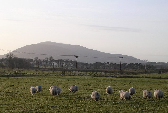
Fir Knowe is a prominent hill located in Peeblesshire, a historic county in the Scottish Borders region of Scotland. Rising to an elevation of 480 meters (1,575 feet), it is known for its stunning natural beauty and panoramic views of the surrounding landscape.
Situated near the village of Eddleston, Fir Knowe is part of the larger Moorfoot Hills range. Its slopes are covered with dense forests primarily consisting of fir trees, which lend the hill its name. The area is also home to a diverse range of wildlife, including red deer, grouse, and various bird species.
Fir Knowe is a popular destination for outdoor enthusiasts, offering a range of recreational activities. Hiking and hillwalking trails crisscross the hill, allowing visitors to explore its picturesque surroundings. The summit of Fir Knowe provides a breathtaking vista, offering sweeping views of the rolling hills, valleys, and distant peaks of the Scottish Borders.
The hill is easily accessible, with parking available nearby and well-maintained paths leading to the top. It is a favorite spot for locals and tourists alike, who flock to Fir Knowe to experience its tranquility and immerse themselves in its natural splendor.
Overall, Fir Knowe in Peeblesshire is a captivating hill that offers a perfect blend of scenic beauty, outdoor adventure, and an opportunity to connect with nature.
If you have any feedback on the listing, please let us know in the comments section below.
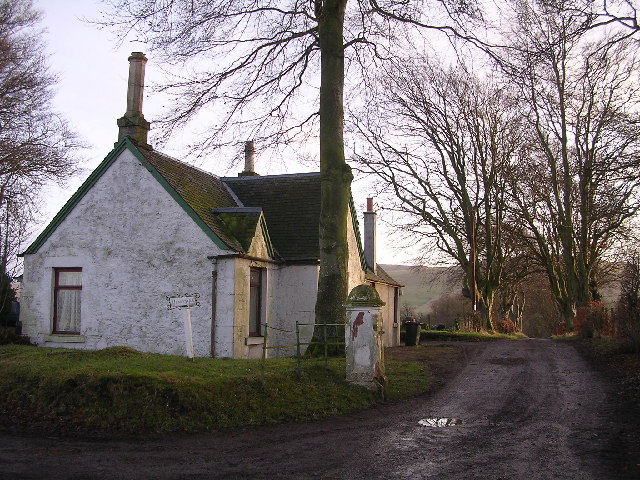
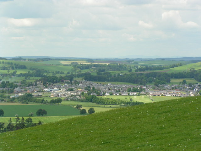
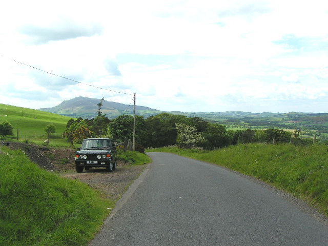
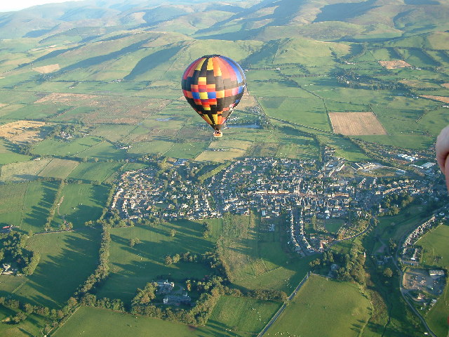
Fir Knowe Images
Images are sourced within 2km of 55.612825/-3.5053283 or Grid Reference NT0536. Thanks to Geograph Open Source API. All images are credited.


Fir Knowe is located at Grid Ref: NT0536 (Lat: 55.612825, Lng: -3.5053283)
Unitary Authority: The Scottish Borders
Police Authority: The Lothians and Scottish Borders
What 3 Words
///happening.puddings.hobbyists. Near Biggar, South Lanarkshire
Nearby Locations
Related Wikis

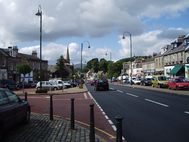
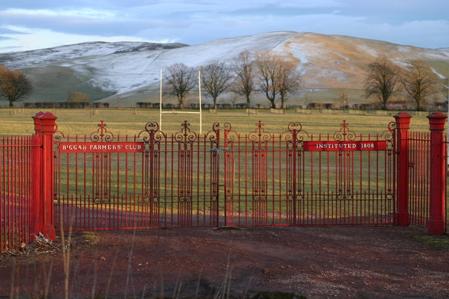
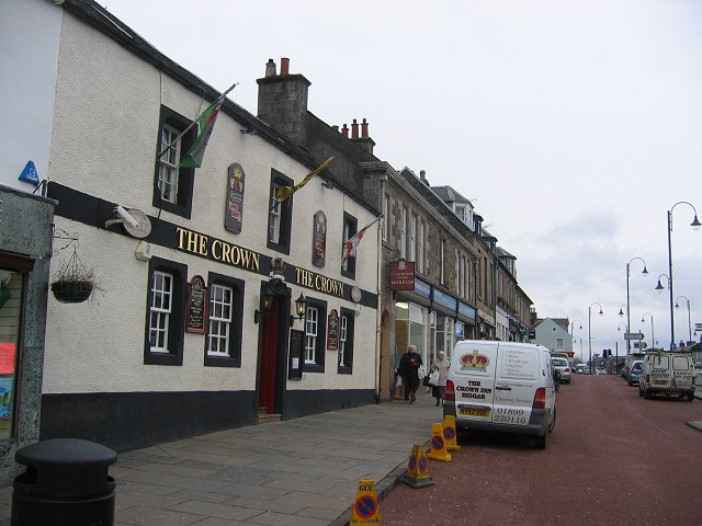
Biggar, South Lanarkshire
Biggar (Scottish Gaelic: Bigear [ˈpikʲəɾ]) is a town and former burgh in South Lanarkshire, Scotland, in the Southern Uplands near the River Clyde on...

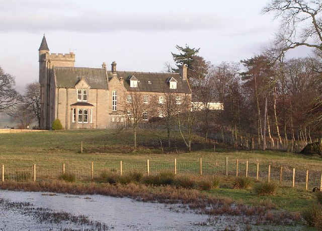
Boghall Castle
Boghall Castle was a 14th century castle to the south of Biggar, South Lanarkshire, Scotland. Boghall became ruinous in the 19th century. == History... ==

Kello Hospital
Kello Hospital is a health facility in John's Loan, Biggar, South Lanarkshire, Scotland. It is managed by NHS Lanarkshire. == History == The facility,...

Biggar (Scotland) railway station
Biggar railway station served the town of Biggar, South Lanarkshire, Scotland from 1860 to 1950 on the Symington, Biggar and Broughton Railway. == History... ==

Biggar High School
Biggar High School (Local education authority: South Lanarkshire) is a secondary school located in the town of Biggar, South Lanarkshire. It is a mixed...
Biggar Corn Exchange
Biggar Corn Exchange is a commercial building in the High Street, Biggar, South Lanarkshire, Scotland. The structure, which is now used as a theatre, is...
Biggar Castle
Biggar Castle was a 12th-century castle in Biggar, South Lanarkshire, Scotland. It appears to have been abandoned by the 14th century. == History == The...

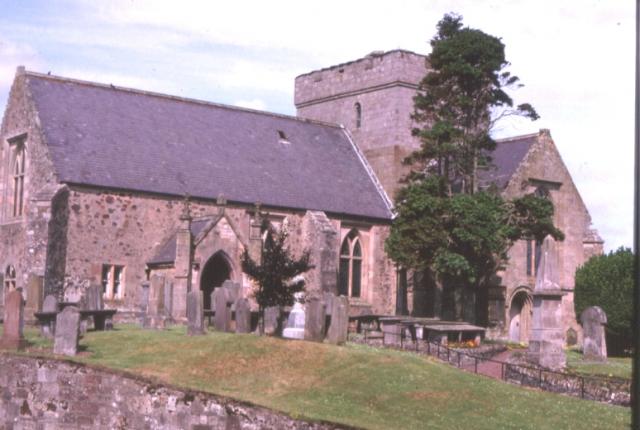
Skirling
Skirling is a parish, community council area and village in Peeblesshire in the Scottish Borders situated 2+1⁄2 miles east of Biggar in Lanarkshire. Biggar...
Nearby Amenities
Located within 500m of 55.612825,-3.5053283Have you been to Fir Knowe?
Leave your review of Fir Knowe below (or comments, questions and feedback).