Binns Hill

Hill, Mountain in West Lothian

Scotland

Binns Hill
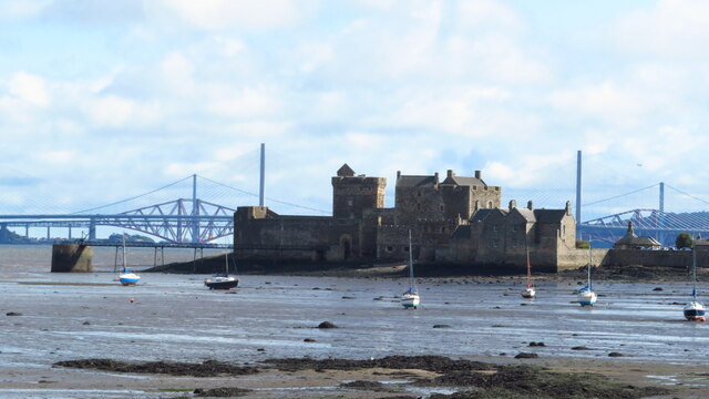
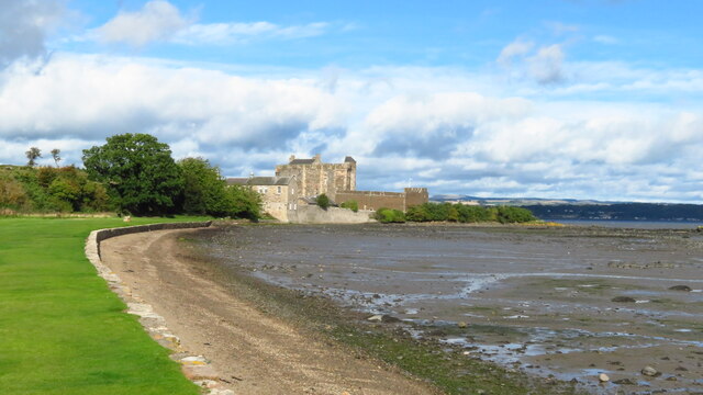
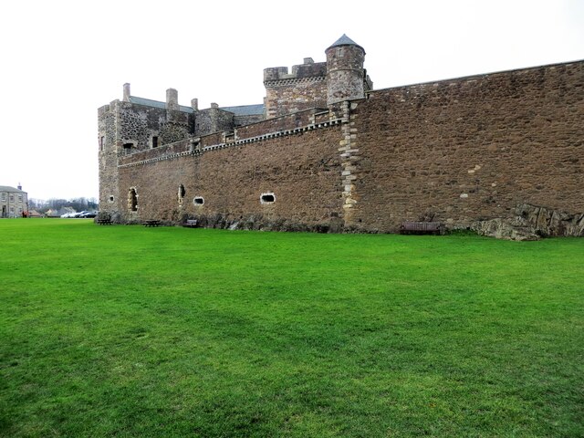
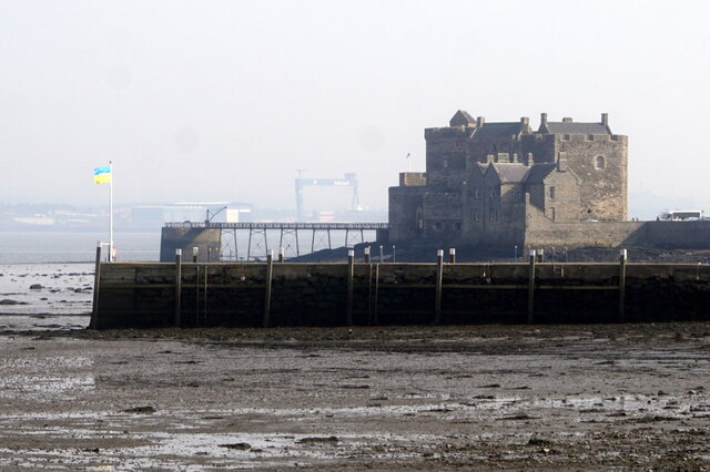
Blackness Castle from John Muir Trail
Blackness Castle from John Muir Trail Credit: Colin Park

Binns Hill is a prominent hill located in West Lothian, Scotland. Standing at an elevation of approximately 178 meters (584 feet), it is part of the Bathgate Hills range. The hill is situated within the Binns Estate, near the town of Linlithgow.

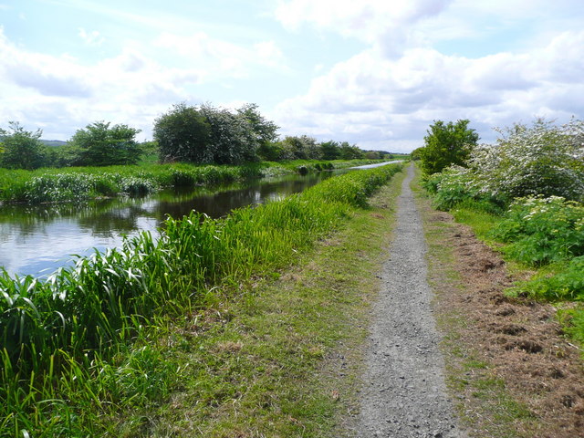
Binns Hill offers a picturesque landscape with rolling green fields, dense woodlands, and stunning views of the surrounding countryside. The hill itself features a gentle slope, making it easily accessible for walkers and hikers of all abilities. Its well-maintained paths and trails attract outdoor enthusiasts who enjoy exploring the natural beauty of the area.

At the summit of Binns Hill, there is a trig point which serves as a navigational aid. Trig points are concrete pillars that were installed by the Ordnance Survey to map out the country in the mid-20th century. This trig point provides an excellent vantage point, offering panoramic vistas of the surrounding West Lothian region.

The area around Binns Hill is also rich in historical significance. The Binns Estate, which encompasses the hill, is home to the historic Binns House. This 17th-century mansion is a popular tourist attraction, known for its grand architecture and beautiful gardens. The estate also hosts various events and activities throughout the year, attracting visitors from near and far.

Overall, Binns Hill is a scenic and historically significant location in West Lothian. With its stunning views, well-maintained paths, and proximity to the Binns Estate, it offers a delightful experience for nature lovers, history enthusiasts, and those seeking a tranquil escape.

If you have any feedback on the listing, please let us know in the comments section below.

Binns Hill Images

Images are sourced within 2km of 55.990897/-3.5200394 or Grid Reference NT0578. Thanks to Geograph Open Source API. All images are credited.

Blackness Castle from John Muir Trail
Shoreline on east side of Blackness Castle
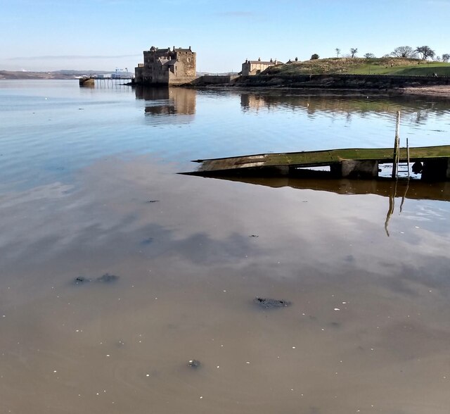
Calm Waters: Blackness Looking to Blackness Castle
Calm Waters: Blackness
Looking to Blackness Castle
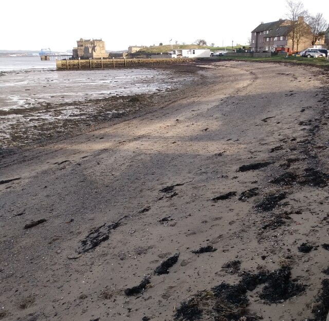
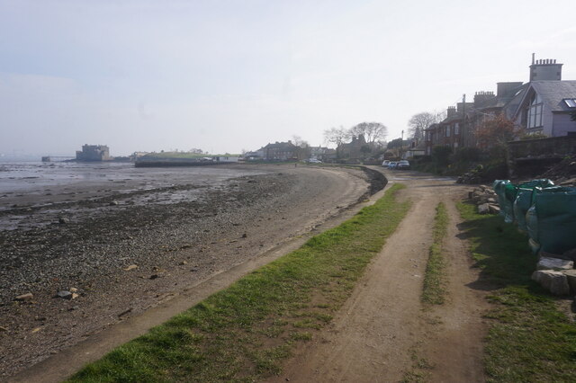
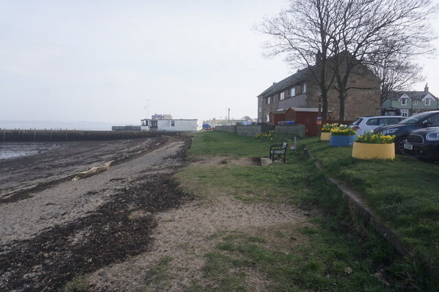
Blackness Beach Deserted on a February afternoon
Blackness Beach
Deserted on a February afternoon
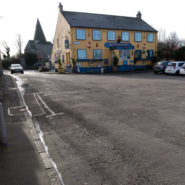
Blackness village centre This pub formerly the Blackness Inn was re-opened after 11 years as The Lobster Pot
Blackness village centre
This pub formerly the Blackness Inn was re-opened after 11 years as The Lobster Pot
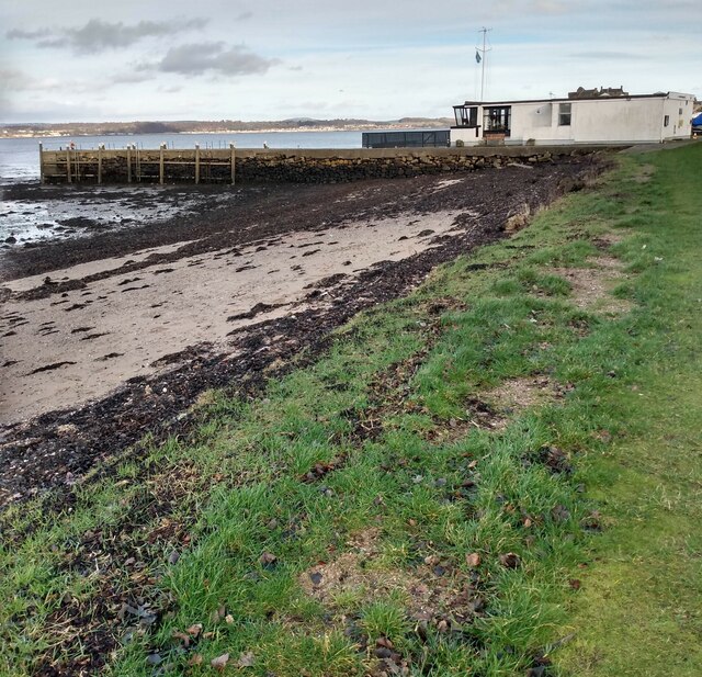
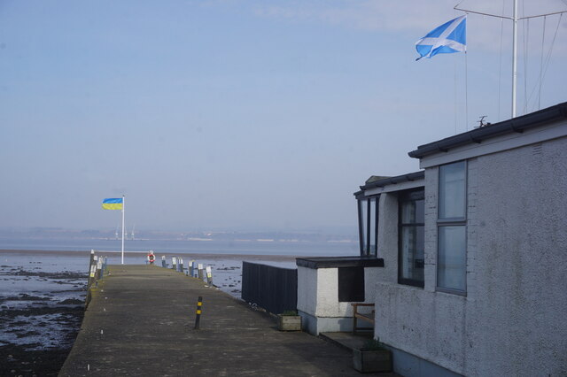
Blackness Boat Club At low tide
Blackness Boat Club
At low tide
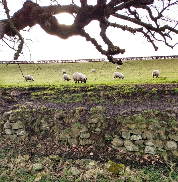
Sheep near Blackness In field beside coast path
Sheep near Blackness
In field beside coast path
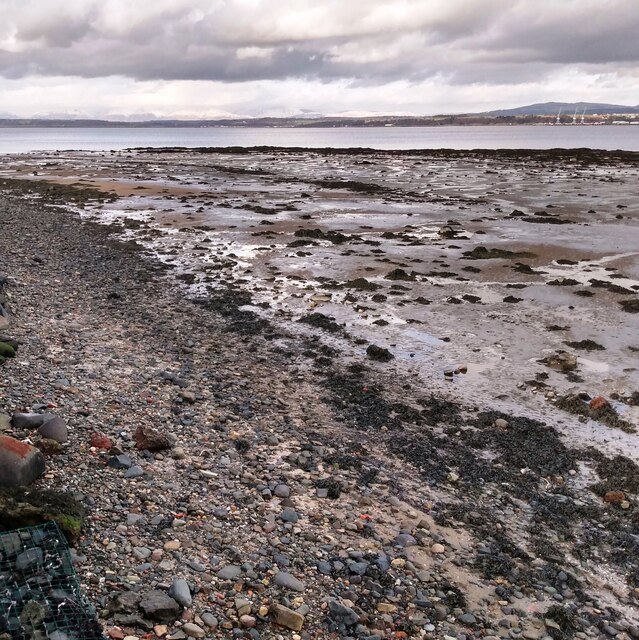
Low tide on River Forth Snow covered Ochils merging with clouds
Low tide on River Forth
Snow covered Ochils merging with clouds
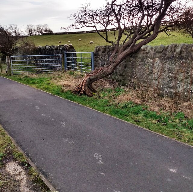
Double gates Stone wall on right is field boundary, beyond gates it's in field
Double gates
Stone wall on right is field boundary, beyond gates it's in field
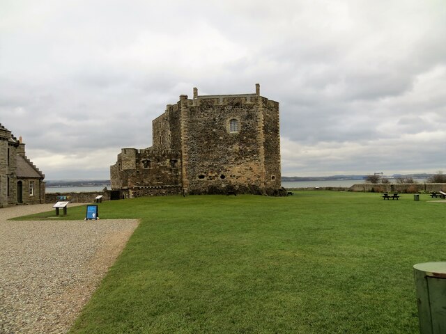
Blackness Castle
Blackness Castle
Blackness Castle, overlooking The Firth of Forth
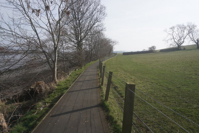
John Muir Way towards Blackness
John Muir Way at Blackness
Blackness Castle, Blackness
John Muir Way at Blackness
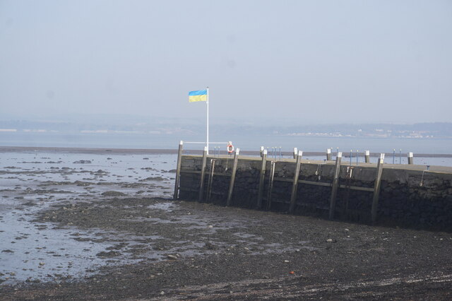
Blackness Pier
Blackness Pier
Blackness Pier
Blackness Pier
Show me another place!

Binns Hill is located at Grid Ref: NT0578 (Lat: 55.990897, Lng: -3.5200394)

Unitary Authority: West Lothian

Police Authority: The Lothians and Scottish Borders

What 3 Words

///frown.horses.sometime. Near Winchburgh, West Lothian

Related Wikis

House of the Binns

The House of the Binns, or simply the Binns, is a historic house in West Lothian, Scotland, the seat of the Dalyell family (pronounced dee el). It dates...

Blackness, Falkirk

Blackness is a small village and harbour at Blackness Bay, an inlet of the Firth of Forth in Scotland. It lies 3.4 mi (5.5 km) east-southeast of Bo'ness...

Philpstoun railway station

Philpstoun railway station was a railway station in the village of Philpstoun, to the east of Linlithgow in West Lothian, Scotland. It was located on the...

Philpstoun

Philpstoun is a small village in West Lothian, Scotland, situated roughly 2 miles (3.2 km) east of the historic county town of Linlithgow. The village...

Blackness Castle

Blackness Castle is a 15th-century fortress, near the village of Blackness, Scotland, on the south shore of the Firth of Forth. It was built, probably...

Midhope Castle

Midhope Castle is a 15th-century tower house in Scotland. It is situated in the hamlet of Abercorn on the Hopetoun estate, About 4 kilometres (2.5 mi)...

Champany, Falkirk

Champany is a hamlet in Falkirk, on the junctions of the A904 and A803 roads near Linlithgow, West Lothian, Scotland. == See also == Champany Inn ��2...

Champany Inn

The Champany Inn is a restaurant and guesthouse in Champany, a hamlet on the junctions of the A904 and A803 roads near Linlithgow, West Lothian, Scotland...

Nearby Amenities

Located within 500m of 55.990897,-3.5200394
Binns Hill
Ele: 111
Natural: peak
Tourism: viewpoint
Lat/Long: 55.9909252/-3.5202649
Bench
Backrest: no
Material: wood
Survey Date: 2021-01-04
Lat/Long: 55.9909073/-3.5204366
Bench
Backrest: yes
Survey Date: 2021-01-04
Lat/Long: 55.9909978/-3.5230398
Bench
Backrest: yes
Survey Date: 2021-01-04
Lat/Long: 55.9909958/-3.5232648
Barrier: cattle_grid
Lat/Long: 55.9912207/-3.5247018
Bench
The ship that never sailed
Backrest: yes
Material: wood
Lat/Long: 55.9918917/-3.521369
Power: pole
Lat/Long: 55.9945212/-3.5247934
Power: pole
Lat/Long: 55.9903683/-3.5224164
Power: pole
Lat/Long: 55.9900555/-3.5216067
Power: pole
Lat/Long: 55.9897532/-3.5207991
Power: pole
Lat/Long: 55.9894392/-3.5198851
Power: pole
Lat/Long: 55.9891497/-3.5190524
Power: pole
Lat/Long: 55.9886233/-3.5186684
Power: pole
Lat/Long: 55.9880583/-3.5182866
Power: pole
Lat/Long: 55.9875155/-3.517913
Power: pole
Lat/Long: 55.9869248/-3.517504
Power: pole
Lat/Long: 55.9886419/-3.5195533
Power: pole
Lat/Long: 55.9881645/-3.520075
Power: pole
Lat/Long: 55.9875832/-3.5206656
Power: pole
Lat/Long: 55.9875645/-3.5215128
Power: pole
Lat/Long: 55.9875552/-3.522189
Power: pole
Lat/Long: 55.9875423/-3.5229006
Barrier: kissing_gate
Lat/Long: 55.9907514/-3.520717
Barrier: kissing_gate
Lat/Long: 55.9917085/-3.5204994
Bench
Backrest: no
Material: wood
Lat/Long: 55.9917297/-3.5207128
Bench
Backrest: no
Material: wood
Survey Date: 2021-01-04
Lat/Long: 55.9909303/-3.5203767
Bench
Backrest: no
Material: wood
Lat/Long: 55.9917306/-3.5211865
Bench
Backrest: no
Lat/Long: 55.9906946/-3.521042
Bench
Backrest: yes
Lat/Long: 55.9911571/-3.5236162
Bench
Backrest: yes
Lat/Long: 55.9912482/-3.522899
Bench
Backrest: no
Material: wood
Lat/Long: 55.9912102/-3.5218373
Bicycle Parking
Capacity: 6
Covered: no
Fee: no
Lat/Long: 55.9910651/-3.5238831
Bench: yes
Leisure: picnic_table
Lit: no
Lat/Long: 55.990741/-3.5239783
Bench
Backrest: yes
Material: wood
Lat/Long: 55.9906135/-3.5228183
Bench
Backrest: yes
Lat/Long: 55.9906015/-3.5225983
Bench
Backrest: yes
Lat/Long: 55.9906105/-3.5225474
Bench
Backrest: yes
Lat/Long: 55.9908213/-3.5225178
Historic: memorial
Material: stone
Lat/Long: 55.9908693/-3.5223314
Man Made: survey_point
Ref: S3234
Survey Point Structure: pillar
Lat/Long: 55.990903/-3.5200301
The data included in this document is from www.openstreetmap.org. The data is made available under ODbL.

Have you been to Binns Hill?

Leave your review of Binns Hill below (or comments, questions and feedback).