An Lurg
Hill, Mountain in Inverness-shire
Scotland
An Lurg

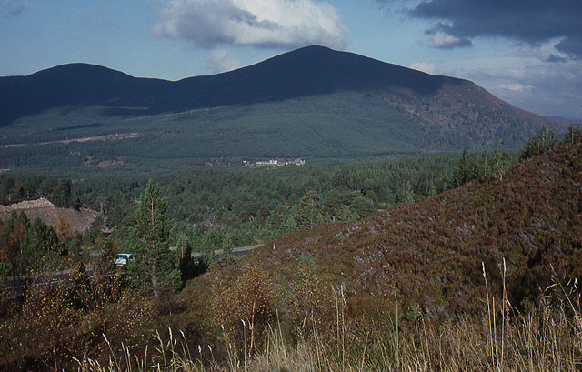
An Lurg is a prominent hill located in the county of Inverness-shire, Scotland. Rising to an elevation of approximately 1,240 feet (378 meters), it is considered a significant landmark in the area. Situated amidst the stunning Scottish Highlands, An Lurg offers breathtaking panoramic views of the surrounding landscape.
This hill is known for its distinctive conical shape, making it easily recognizable from a distance. It is composed mainly of granite, which gives it a rugged and imposing appearance. The slopes of An Lurg are dotted with heather and grasses, creating a picturesque contrast against the rocky terrain.
Hikers and nature enthusiasts are drawn to An Lurg due to its accessibility and the rewarding vistas it offers. There are well-established paths that lead to the summit, making it a popular destination for outdoor activities. The ascent is moderately challenging, with some steep sections, but the effort is well worth it once reaching the top.
From the summit of An Lurg, visitors are treated to sweeping views of the surrounding glens, lochs, and mountains. On a clear day, it is possible to see as far as the Moray Firth and the distant peaks of the Cairngorms National Park. The hill's location also provides an opportunity for wildlife spotting, with birds of prey such as golden eagles and buzzards frequently seen soaring above.
Overall, An Lurg in Inverness-shire offers an exhilarating experience for those seeking to immerse themselves in the awe-inspiring beauty of the Scottish Highlands. Its striking presence, diverse flora, and captivating vistas make it a must-visit destination for nature lovers and adventurers alike.
If you have any feedback on the listing, please let us know in the comments section below.
An Lurg Images
Images are sourced within 2km of 57.166954/-3.5782585 or Grid Reference NJ0409. Thanks to Geograph Open Source API. All images are credited.


An Lurg is located at Grid Ref: NJ0409 (Lat: 57.166954, Lng: -3.5782585)
Unitary Authority: Highland
Police Authority: Highlands and Islands
What 3 Words
///populate.consoles.spine. Near Aviemore, Highland
Nearby Locations
Related Wikis

Bynack More
Bynack More (Scottish Gaelic: A' Bheithneag Mhòr or Beinn Bheithneag) is a Scottish Mountain that is situated in the Cairngorms range, 16 kilometres east...
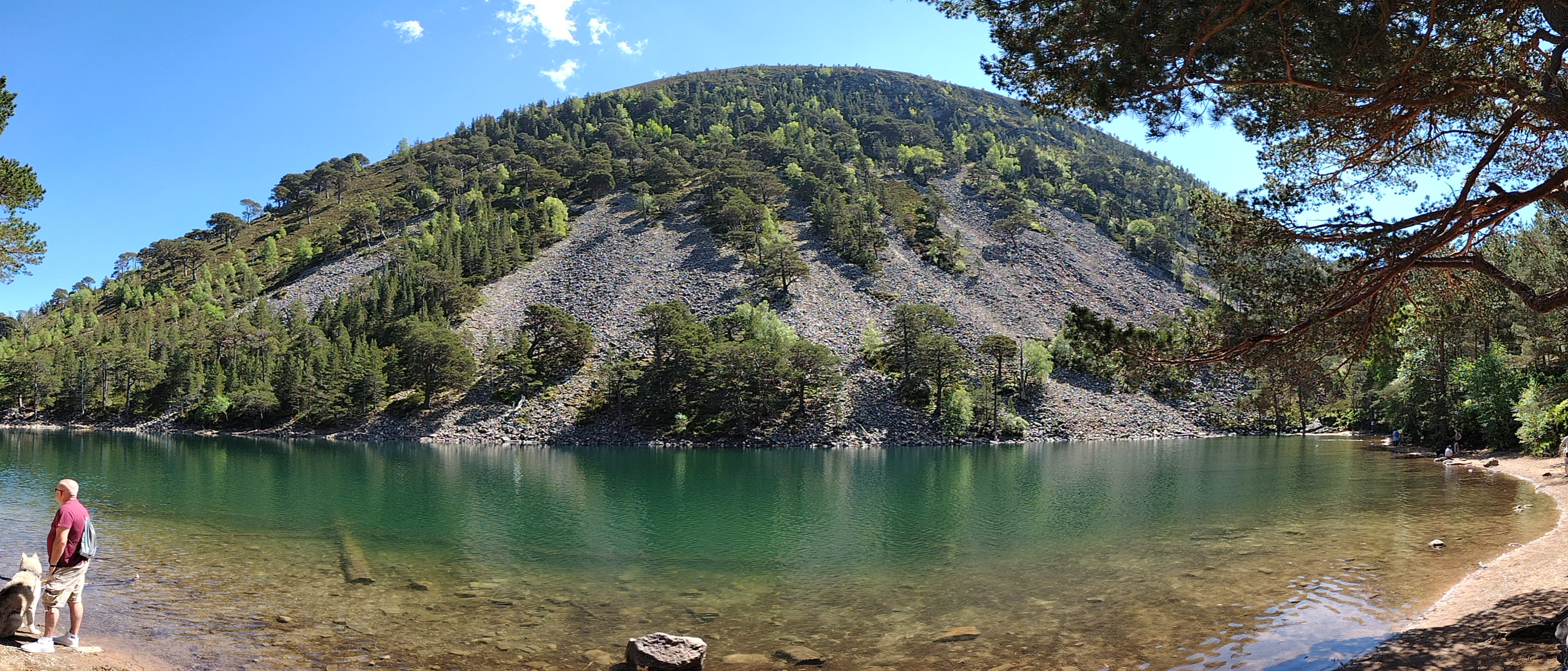
An Lochan Uaine
An Lochan Uaine is a small freshwater loch in the Highland council area of Scotland. == Etymology == Lochan Uaine can be translated from Scottish Gaelic...
Meall a' Bhuachaille
Meall a' Bhuachaille is a mountain in the Cairngorms in Scotland. It is situated 10 km east of Aviemore, to the north of Loch Morlich and Glenmore Forest...

Cairngorm Mountain Railway
The Cairngorm Mountain Railway, which opened in 2001, is the highest railway in the United Kingdom. The two-kilometre long funicular ascends the northern...

Cairn Gorm
Cairn Gorm (Scottish Gaelic: An Càrn Gorm) is a mountain in the Scottish Highlands. It is part of the Cairngorms range and wider Grampian Mountains. With...
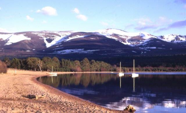
Loch Morlich
Loch Morlich (Scottish Gaelic, Loch Mhùrlaig) is a freshwater loch in the Badenoch and Strathspey area of Highland, Scotland near Aviemore. The loch is...
Cairngorm Lochs
Cairngorm Lochs is a protected wetland area in the Cairngorms, in the Grampian and Highland regions of Scotland. With a total area of 173 hectares, it...
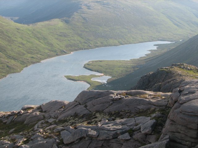
Loch A'an
Loch A'an is a remote freshwater loch set deep within the central Cairngorms plateau, in the Cairngorms National Park, located in the eastern Highlands...
Nearby Amenities
Located within 500m of 57.166954,-3.5782585Have you been to An Lurg?
Leave your review of An Lurg below (or comments, questions and feedback).