Claydowns Hill

Hill, Mountain in Somerset Somerset West and Taunton

England

Claydowns Hill

Nettlecombe : Torre Rocks A country lane.
Nettlecombe : Torre Rocks Credit: Lewis Clarke

Claydowns Hill is a prominent geographical feature located in Somerset, England. It is classified as a hill due to its relatively moderate elevation and gentle slopes. Situated in the rolling countryside of the Mendip Hills, Claydowns Hill offers picturesque views, making it a popular destination for hikers and nature enthusiasts.

The hill rises to an elevation of approximately 200 meters (656 feet) above sea level, making it a notable landmark in the region. Its well-defined summit provides panoramic vistas of the surrounding countryside, including expansive fields, woodlands, and nearby villages. On clear days, it is even possible to catch glimpses of the Bristol Channel and the distant Welsh mountains.

The slopes of Claydowns Hill are characterized by fertile soil, which supports a diverse range of vegetation. Lush grasses, wildflowers, and scattered patches of woodland cover the hillside, creating a rich and vibrant landscape. The area is also home to a variety of wildlife, including rabbits, foxes, and numerous bird species, further adding to its natural appeal.

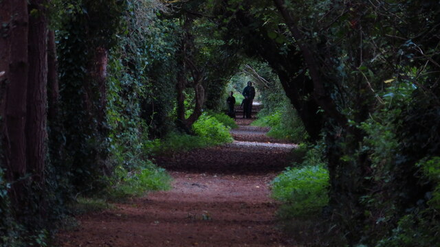
Access to Claydowns Hill is relatively easy, with a network of footpaths and trails leading to the summit. This accessibility, combined with its scenic beauty, makes it a popular spot for outdoor activities such as walking, picnicking, and photography. Local organizations and conservation groups also organize guided walks and educational events to promote the ecological significance of the area.

Overall, Claydowns Hill is a distinctive feature of the Somerset countryside, offering visitors a chance to immerse themselves in the natural beauty and tranquility of the region.

If you have any feedback on the listing, please let us know in the comments section below.

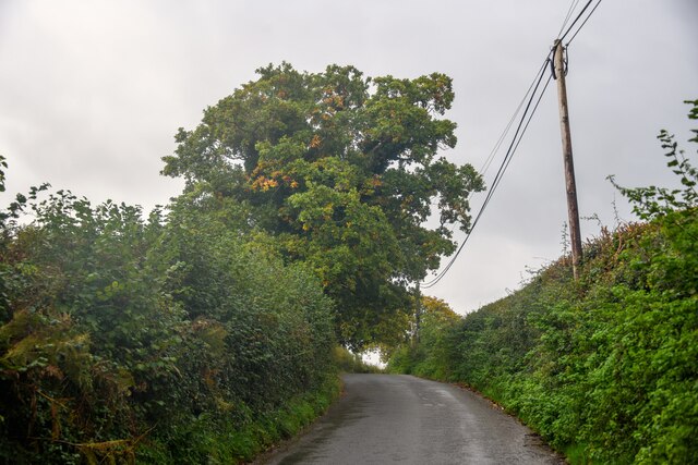
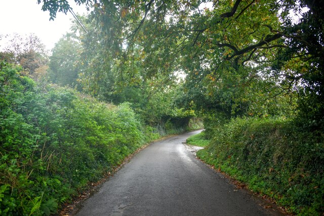
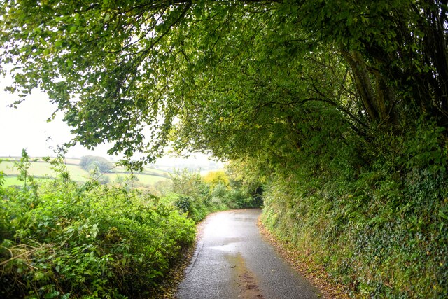
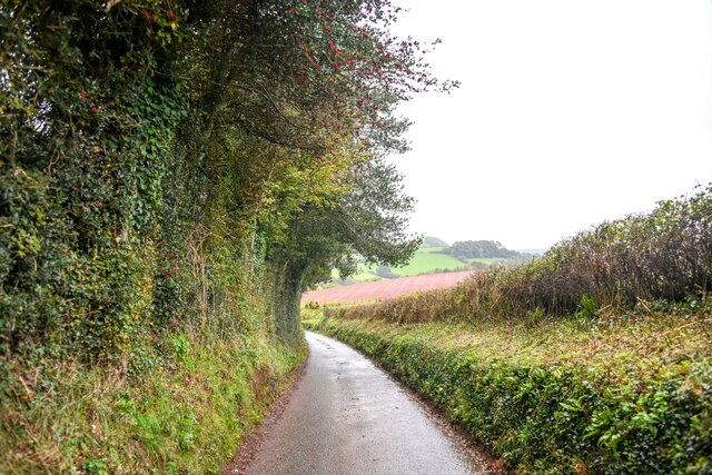
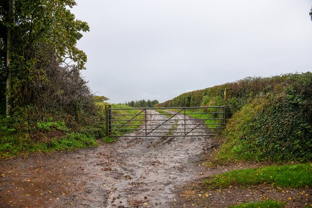
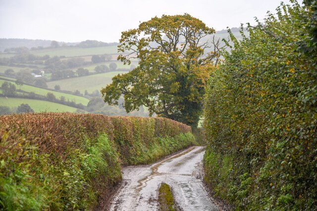
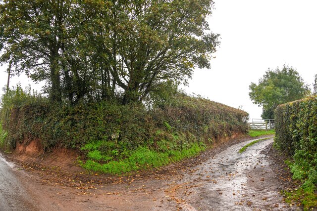
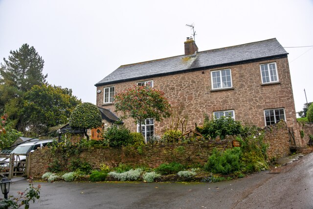
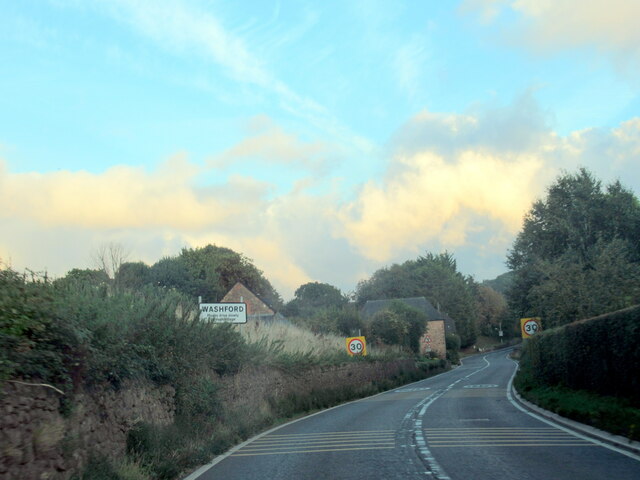
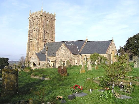
Claydowns Hill Images

Images are sourced within 2km of 51.163588/-3.3724273 or Grid Reference ST0441. Thanks to Geograph Open Source API. All images are credited.

Nettlecombe : Torre Rocks A country lane.
Nettlecombe : Torre Rocks
A country lane.
Nettlecombe : Torre Rocks Looking along Torre Rocks.
Nettlecombe : Torre Rocks
Looking along Torre Rocks.
Old Cleeve : Roadwater - Batallers Lane Looking along a small lane.
Old Cleeve : Roadwater - Batallers Lane
Looking along a small lane.
Old Cleve : Batallers Lane Looking along a small country lane.
Old Cleve : Batallers Lane
Looking along a small country lane.
Old Cleeve : Track A muddy track heads off from the road.
Old Cleeve : Track
A muddy track heads off from the road.
Old Cleeve : Lodge Rocks Looking down the hillside.
Old Cleeve : Lodge Rocks
Looking down the hillside.
Old Cleeve : Lodge Rocks Looking along Lodge Rocks.
Old Cleeve : Lodge Rocks
Looking along Lodge Rocks.
Old Cleeve : Lodge Rock Cottage Looking to a house in the countryside.
Old Cleeve : Lodge Rock Cottage
Looking to a house in the countryside.
Cleeve Abbey: looking towards main buildings from church remains
Tree tunnel on path between Kentsford Farm & Washford The coastal path between Watchet and Blue Anchor is currently closed (October 2021) but this attractive alternative route takes you inland and goes via this 'tree tunnel' for about a mile between Kentsford Farm and Washford. This was once the route of the West Somerset Mineral Railway which carried iron ore from mines in the Brendon Hills to the coast at Watchet.
Tree tunnel on path between Kentsford Farm & Washford
The coastal path between Watchet and Blue Anchor is currently closed (October 2021) but this attractive alternative route takes you inland and goes via this 'tree tunnel' for about a mile between Kentsford Farm and Washford. This was once the route of the West Somerset Mineral Railway which carried iron ore from mines in the Brendon Hills to the coast at Watchet.
Old Cleeve - St Andrew's Church This church lies on the pleasant alternative coastal path which runs some way inland between Watchet and Blue Anchor. The coast path is closed due to landslips as is the case (October 2021).
Old Cleeve - St Andrew's Church
This church lies on the pleasant alternative coastal path which runs some way inland between Watchet and Blue Anchor. The coast path is closed due to landslips as is the case (October 2021).
Sports court at Washford seen from the West Somerset Railway
Willow Grove, Washford, seen from the West Somerset Railway In the foreground is the junction with Huish Lane.
Willow Grove, Washford, seen from the West Somerset Railway
In the foreground is the junction with Huish Lane.
Field with boundary trees, near Old Cleeve This view was taken from a train to Minehead on the West Somerset Railway.
Field with boundary trees, near Old Cleeve
This view was taken from a train to Minehead on the West Somerset Railway.
Cleeve Abbey Gatehouse
East Range of Cloisters At Cleeve Abbey containing the dormitory and chapter house remains but probably has been used as a barn or for other farming use
East Range of Cloisters
At Cleeve Abbey containing the dormitory and chapter house remains but probably has been used as a barn or for other farming use
Washford village sign on the A39 west
Ordnance Survey Cut Mark This OS cut mark can be found on a building at Washford Station. It marks a point 45.996m above mean sea level.
Ordnance Survey Cut Mark
This OS cut mark can be found on a building at Washford Station. It marks a point 45.996m above mean sea level.
Show me another place!

Claydowns Hill is located at Grid Ref: ST0441 (Lat: 51.163588, Lng: -3.3724273)

Administrative County: Somerset

District: Somerset West and Taunton

Police Authority: Avon and Somerset

What 3 Words

///tributes.believer.haven. Near Watchet, Somerset

Related Wikis

Washford railway station

Washford railway station is a station on the West Somerset Railway, a heritage railway in England. The station is situated in the village of Washford...

Washford

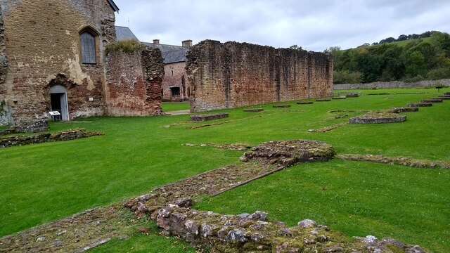
Washford is a village on the Washford River in the civil parish of Old Cleeve, Somerset, England. The village is next to Cleeve Abbey, one of the best...

Old Cleeve

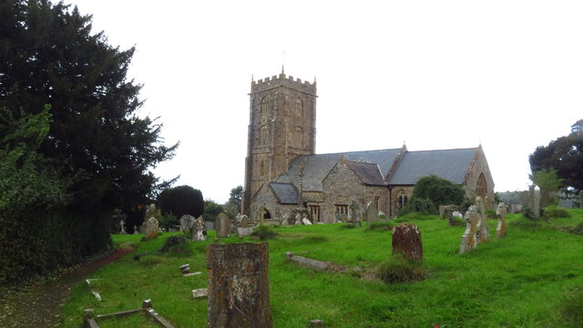
Old Cleeve is a village 5 miles (8 km) south east of Minehead in the Somerset West and Taunton district of Somerset, England, and also a civil parish....

Washford (WSMR) railway station

Washford was an intermediate station on the West Somerset Mineral Railway (WSMR), which was built primarily to carry iron ore from mines to Watchet harbour...

Nearby Amenities

Located within 500m of 51.163588,-3.3724273
Washford
Addr City: Watchet
Addr Country: GB
Addr County: Somerset
Addr Housename: Washford Station
Addr Postcode: TA23 0PP
Addr Street: Station Road
Addr Village: Washford
Fhrs Authority: West Somerset
Fhrs Id: 161831
Fhrs Local Authority Id: PI/000001926
Naptan AtcoCode: 940GZZWSWAS
Network: West Somerset Railway
Network Wikidata: Q12072724
Operator: West Somerset Railway Plc
Operator Wikidata: Q20970722
Public Transport: station
Railway: station
Start Date: 1874
Start Date Railway: 1874
Train: yes
Usage: tourism
Wikidata: Q7971489
Wikipedia: en:Washford railway station
Lat/Long: 51.1615078/-3.3688908
Old Cleeve
Place: village
Wikidata: Q2080750
Wikipedia: en:Old Cleeve
Lat/Long: 51.167225/-3.3762251
Bar
Lysaght Club & Old Cleeve Community Hall
Addr City: Minehead
Addr Country: GB
Addr County: Somerset
Addr Housename: Lysaght Village Hall & Club
Addr Postcode: TA24 6HJ
Addr Street: Old Cleeve
Addr Village: Old Cleeve
Alt Name: Old Cleeve Community Hall
Capacity: 10
Fhrs Authority: West Somerset
Fhrs Id: 162960
Fhrs Local Authority Id: PI/000003998
Int Name: Lysaght Village Hall & Club
Maxstay: Members/patrons
Old Name: Lysaght Village Hall & Club
Parking: surface
Source: http://lysaghtclub.org/
Website: http://lysaghtclub.org/
Lat/Long: 51.1671812/-3.3754286
Operator: West Somerset Railway plc
Railway: switch
Lat/Long: 51.1611369/-3.3700199
Railway: buffer_stop
Lat/Long: 51.1612087/-3.3699505
Operator: West Somerset Railway Heritage Trust
Railway: switch
Lat/Long: 51.1613252/-3.3696286
Operator: West Somerset Railway Heritage Trust
Railway: switch
Lat/Long: 51.1614435/-3.3692407
Operator: West Somerset Railway Heritage Trust
Railway: switch
Lat/Long: 51.1616494/-3.3686148
Operator: West Somerset Railway Heritage Trust
Railway: switch
Lat/Long: 51.1617441/-3.3684704
Operator: West Somerset Railway Heritage Trust
Railway: switch
Lat/Long: 51.1618053/-3.368252
Operator: West Somerset Railway Heritage Trust
Railway: switch
Lat/Long: 51.1618105/-3.3683378
Operator: West Somerset Railway Heritage Trust
Railway: switch
Lat/Long: 51.1618649/-3.3680888
Railway: buffer_stop
Lat/Long: 51.1621987/-3.3670671
Railway: buffer_stop
Lat/Long: 51.1622177/-3.3668956
Bus Stop
Garage
Bus: yes
Naptan AtcoCode: 3600SOA10233
Naptan Bearing: SE
Naptan CommonName: Garage
Naptan Indicator: SE-bound
Naptan NaptanCode: sotadmwd
Naptan Street: Station Road
Naptan Verified: no
Network: The Buses of Somerset
Network Wikidata: Q17018973
Operator: First South West
Operator Wikidata: Q5454172
Public Transport: platform
Ref: 15
Lat/Long: 51.1612394/-3.3670659
Historic: archaeological_site
Lat/Long: 51.1665832/-3.368655
Clyden's Cross, Prayer Cross (remains)
Historic: ruins
Source: visible
Lat/Long: 51.1668699/-3.369433
Covered: yes
Indoor: yes
Railway: buffer_stop
Lat/Long: 51.1615424/-3.3692851
Covered: yes
Indoor: yes
Railway: buffer_stop
Lat/Long: 51.1615792/-3.3693148
Cedar House
Addr City: Minehead
Addr Country: GB
Addr County: Somerset
Addr Postcode: TA24 6HH
Addr Village: Old Cleeve
Fhrs Authority: West Somerset
Fhrs Id: 370649
Fhrs Local Authority Id: PI/000009134
Tourism: guest_house
Lat/Long: 51.1655279/-3.3775798
Barrier: bollard
Lat/Long: 51.1604541/-3.3726817
Barrier: bollard
Lat/Long: 51.1604615/-3.3726577
Power: pole
Lat/Long: 51.1629549/-3.369898
Power: pole
Lat/Long: 51.1632761/-3.3685542
Power: pole
Lat/Long: 51.1635183/-3.3675001
Power: pole
Lat/Long: 51.1640276/-3.3653275
Power: pole
Lat/Long: 51.1631138/-3.3712284
Power: pole
Lat/Long: 51.1632602/-3.3725293
Power: pole
Lat/Long: 51.1633762/-3.3735297
Power: pole
Lat/Long: 51.1636958/-3.3762871
Power: pole
Lat/Long: 51.163827/-3.3775182
Power: pole
Lat/Long: 51.1640036/-3.3789559
Historic: monument
Lat/Long: 51.167119/-3.3758717
Brendon Service Station
Shop: car
Lat/Long: 51.160968/-3.3670199
Bus Stop
Garage
Bus: yes
Naptan AtcoCode: 3600SOA10234
Naptan Bearing: NW
Naptan CommonName: Garage
Naptan Indicator: NW-bound
Naptan NaptanCode: sotadmwa
Naptan Street: Station Road
Naptan Verified: no
Network: The Buses of Somerset
Network Wikidata: Q17018973
Operator: First South West
Operator Wikidata: Q5454172
Public Transport: platform
Ref: 15
Lat/Long: 51.1611777/-3.3672139
Operator: West Somerset Railway Heritage Trust
Railway: switch
Lat/Long: 51.1617656/-3.3688686
Covered: yes
Indoor: yes
Railway: buffer_stop
Lat/Long: 51.1616175/-3.369342
Railway: buffer_stop
Lat/Long: 51.1618399/-3.3686452
The data included in this document is from www.openstreetmap.org. The data is made available under ODbL.

Have you been to Claydowns Hill?

Leave your review of Claydowns Hill below (or comments, questions and feedback).