Bank Hey
Settlement in Lancashire
England
Bank Hey
Bank Hey is a small village located in the county of Lancashire, England. Situated in the borough of Fylde, it is nestled between the towns of Lytham St Annes and Blackpool. With a population of around 1,500 residents, Bank Hey offers a tranquil and picturesque setting for its inhabitants.
The village is known for its stunning countryside views, characterized by rolling hills and lush green fields. Its rural location makes it an ideal place for those seeking a peaceful escape from the hustle and bustle of city life. Bank Hey is also surrounded by several nature reserves and parks, providing ample opportunities for outdoor activities such as hiking, cycling, and birdwatching.
Although Bank Hey is primarily a residential area, it benefits from its proximity to nearby towns. Residents have easy access to a range of amenities, including shops, schools, and healthcare facilities. The village is well-connected to the surrounding areas through public transportation, making it convenient for commuting to work or visiting nearby attractions.
Bank Hey has a rich history, with evidence of human habitation dating back to the Bronze Age. The village has a few historical landmarks, such as St. Annes United Reformed Church, which was built in the 19th century and is still in use today.
Overall, Bank Hey offers a peaceful and scenic lifestyle for its residents, with a close-knit community and easy access to both rural and urban amenities. It is a charming village that reflects the beauty and tranquility of the Lancashire countryside.
If you have any feedback on the listing, please let us know in the comments section below.
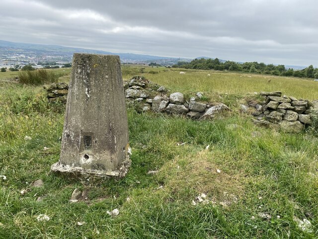
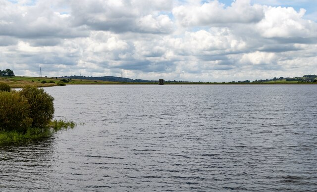
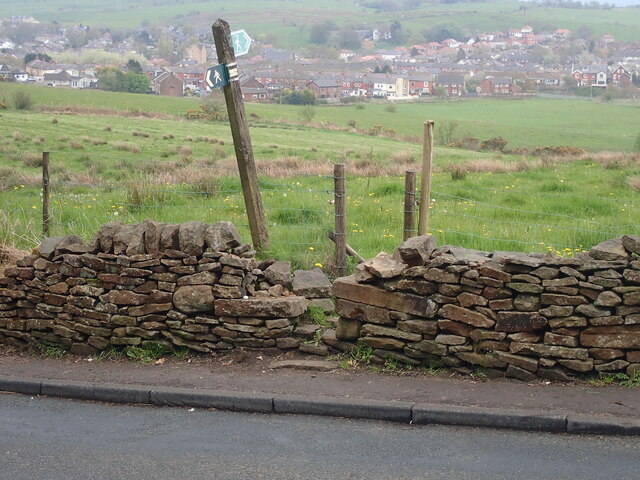
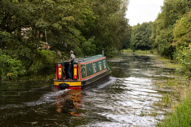
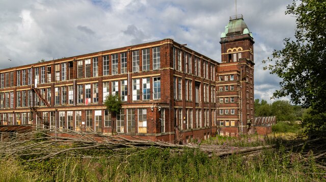
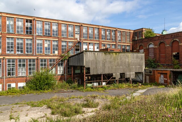
Bank Hey Images
Images are sourced within 2km of 53.768757/-2.4661915 or Grid Reference SD6930. Thanks to Geograph Open Source API. All images are credited.


Bank Hey is located at Grid Ref: SD6930 (Lat: 53.768757, Lng: -2.4661915)
Unitary Authority: Blackburn with Darwen
Police Authority: Lancashire
What 3 Words
///woods.agents.report. Near Blackburn, Lancashire
Nearby Locations
Related Wikis

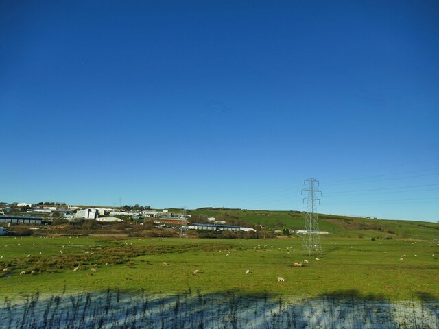
Bank Hey
Bank Hey (also Sunnybower or Sunny Bower) is a suburb of Blackburn, Lancashire, England. It is located to the east of the town, north of Whitebirk and...
Blackburn Cemetery
Blackburn Cemetery, sometimes known as Blackburn Old Cemetery, is a public cemetery in the town of Blackburn, Lancashire which lies on Whalley New Road...
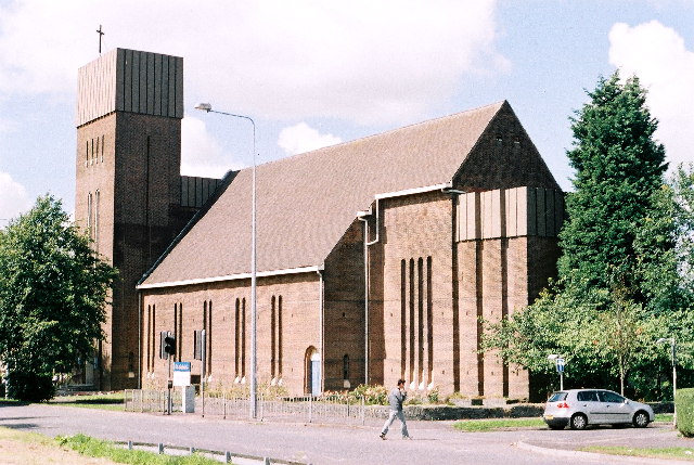
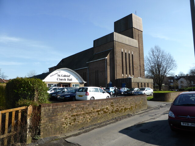
St Gabriel's Church, Blackburn
St Gabriel's is an active English Anglican church in Blackburn, Lancashire. Designed by F. X. Velarde, St Gabriel's is regarded as a milestone in the development...
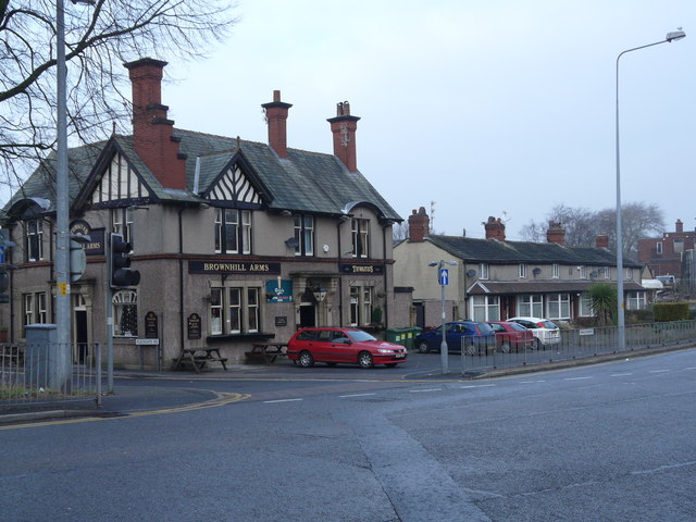
Brownhill
Brownhill is a suburb of Blackburn, in the unitary borough of Blackburn with Darwen, in Lancashire, England. It is situated to the north-east of the town...
Related Videos
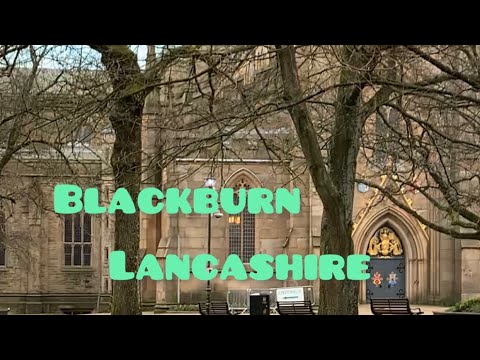

The Mall walking tour || The Mall Blackburn is shopping mall where you can see big brands
This video is a walking tour of the Mall it is a shopping center at Blackburn in the England...


BBC Radio Lancashire trailer
Short trailer for Nishma Hindocha full interview.
Nearby Amenities
Located within 500m of 53.768757,-2.4661915Have you been to Bank Hey?
Leave your review of Bank Hey below (or comments, questions and feedback).