Carn Luig

Hill, Mountain in Morayshire

Scotland

Carn Luig

Field near Grantown Beside the Dava Moor road as it climbs out of Grantown.
Field near Grantown Credit: Richard Webb

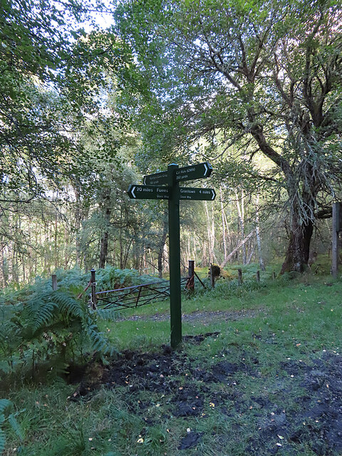
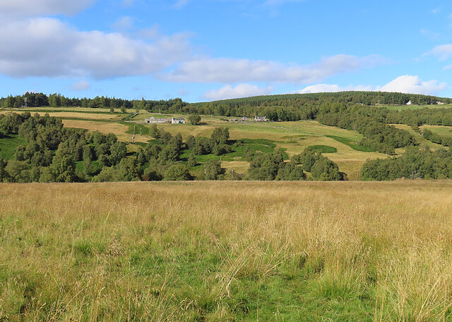
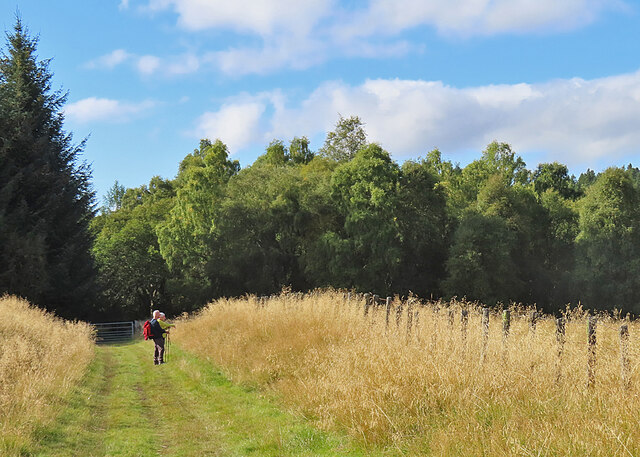
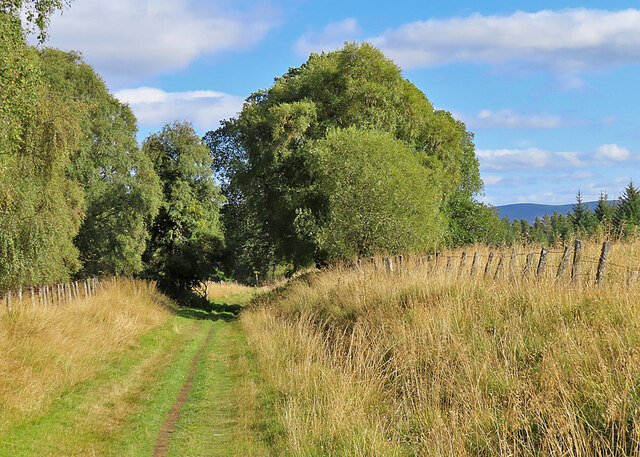
Carn Luig is a prominent hill located in Morayshire, Scotland. It is situated in the Highlands region, approximately 5 miles north of the town of Grantown-on-Spey. The hill stands at an elevation of 742 meters (2,434 feet) above sea level, making it a popular destination for hikers and outdoor enthusiasts.

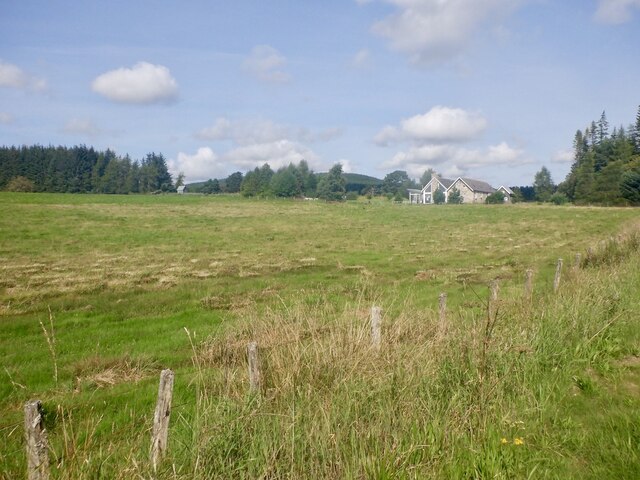
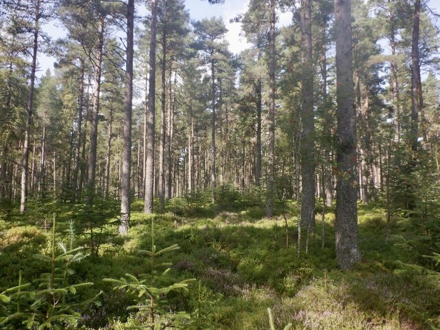
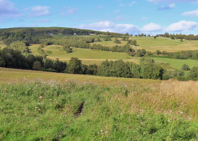
Carn Luig is part of the larger Cairngorms mountain range, which is known for its stunning natural beauty and diverse wildlife. The hill offers breathtaking panoramic views of the surrounding landscapes, including the Spey Valley and the nearby Cairngorms National Park.

The hill is characterized by its rugged terrain, with steep slopes covered in heather and grasses. Its summit is marked by a trig point, which serves as a reference point for surveying and navigation. On clear days, it is possible to see as far as the distant peaks of the Cairngorms and the Grampian Mountains.

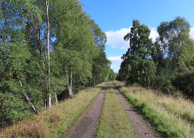
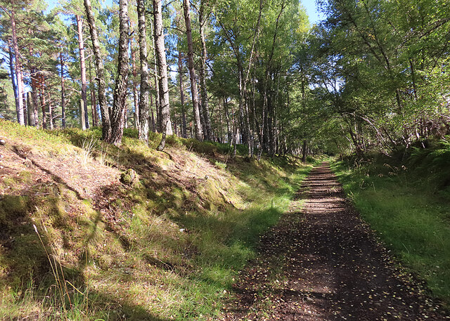
The area around Carn Luig is rich in history and heritage. The nearby Glenlivet Estate is home to several ancient sites, including standing stones and burial cairns, which provide insights into the area's past. Visitors to Carn Luig can experience the tranquility of the Scottish Highlands while immersing themselves in the natural and cultural heritage of Morayshire.

If you have any feedback on the listing, please let us know in the comments section below.
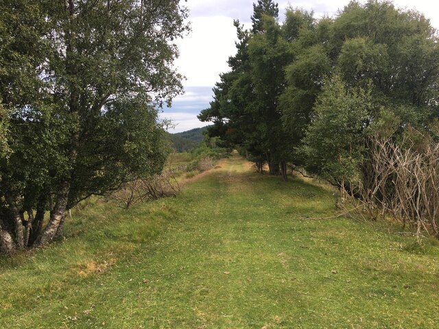
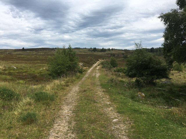
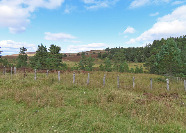
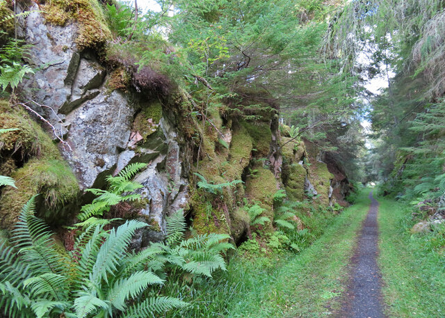
Carn Luig Images

Images are sourced within 2km of 57.368258/-3.6308772 or Grid Reference NJ0232. Thanks to Geograph Open Source API. All images are credited.

Field near Grantown Beside the Dava Moor road as it climbs out of Grantown.
Field near Grantown
Beside the Dava Moor road as it climbs out of Grantown.
Upper Lynmore Wood
Upper Lynmore Wood
Dava Moor View towards Carn Ruigh Chorrach.
Dava Moor
View towards Carn Ruigh Chorrach.
A939 towards Grantown on Spey
Dava Way following old railway track bed
Farm track on Dava Moor
Last View from the Dava Way Or first view of the moor if you have started from Grantown. Towards Grantown, the Dava Way enters a succession of woods and cuttings here.
Last View from the Dava Way
Or first view of the moor if you have started from Grantown. Towards Grantown, the Dava Way enters a succession of woods and cuttings here.
Railway Cutting This is one of several deep cuttings between Dava Moor and Grantown-on-Spey. It cuts through granite of the Grantown Pluton.
Railway Cutting
This is one of several deep cuttings between Dava Moor and Grantown-on-Spey. It cuts through granite of the Grantown Pluton.
Waymarker At this point the path from the car park for Huntly's Cave crosses the Dava Way.
Waymarker
At this point the path from the car park for Huntly's Cave crosses the Dava Way.
Field beside the Dava Way As the Dava Way descends towards Grantown-on-Spey, there are gaps between cuttings where view of the surrounding countryside can be enjoyed.
Field beside the Dava Way
As the Dava Way descends towards Grantown-on-Spey, there are gaps between cuttings where view of the surrounding countryside can be enjoyed.
Dava Way Walkers enjoying the view in one of the gaps in the woods beside the Dava Way.
Dava Way
Walkers enjoying the view in one of the gaps in the woods beside the Dava Way.
Dava Way For a short distance here the Dava Way is flanked by open woodland and a few trackside birches.
Dava Way
For a short distance here the Dava Way is flanked by open woodland and a few trackside birches.
Near Glaschoil A grassy field slopes down to the Allt an Fhithich from the trackbed of the former  Highland Railway, now the Dava Way.
Near Glaschoil
A grassy field slopes down to the Allt an Fhithich from the trackbed of the former Highland Railway, now the Dava Way.
Lower Lynmore Wood The Dava Way passes through Lower Lynmore Wood here. This isn't deep gloomy woodland, but open birch woods.
Lower Lynmore Wood
The Dava Way passes through Lower Lynmore Wood here. This isn't deep gloomy woodland, but open birch woods.
Mid Lynmore Wood The former railway line passes through a shallow cutting in Mid Lynmore Wood.
Mid Lynmore Wood
The former railway line passes through a shallow cutting in Mid Lynmore Wood.
Self-heal (Prunella vulgaris) A late flower head still has its bright purple petals.
Self-heal (Prunella vulgaris)
A late flower head still has its bright purple petals.
Footbridge The bridge carries the Dava Way across Allt a' Bhacain. This is on the part of the route which is diverted off the former railway because the trackbed is said to be too wet.
Footbridge
The bridge carries the Dava Way across Allt a' Bhacain. This is on the part of the route which is diverted off the former railway because the trackbed is said to be too wet.
Show me another place!

Carn Luig is located at Grid Ref: NJ0232 (Lat: 57.368258, Lng: -3.6308772)

Unitary Authority: Highland

Police Authority: Highlands and Islands

What 3 Words

///storyline.mandolin.replying. Near Grantown-on-Spey, Highland

Related Wikis

Castle Grant platform railway station

Castle Grant platform railway station was a railway station serving Castle Grant, in Strathspey in Scotland. == History == This station was opened with...

Castle Grant

Castle Grant stands a mile north of Grantown-on-Spey and was the former seat of the Clan Grant chiefs of Strathspey in Highlands, Scotland. It was originally...

Ian Charles Community Hospital

Ian Charles Community Hospital is a health facility in Castle Road East, Grantown-on-Spey, Scotland. It is managed by NHS Highland. == History == The facility...

Strathspey Thistle F.C.

Strathspey Thistle Football Club are a senior football club from Grantown-on-Spey in the Highlands of Scotland. They currently play in the Highland Football...

Nearby Amenities

Located within 500m of 57.368258,-3.6308772
Càrn Luig
Ele: 428
Natural: peak
Lat/Long: 57.3690588/-3.6288052
The data included in this document is from www.openstreetmap.org. The data is made available under ODbL.

Have you been to Carn Luig?

Leave your review of Carn Luig below (or comments, questions and feedback).