Beacon Hill

Hill, Mountain in Denbighshire

Wales

Beacon Hill

On enclosed path between Henllan & Gwaenynog
On enclosed path between Henllan & Gwaenynog Credit: Colin Park

Beacon Hill, located in Denbighshire, Wales, is a prominent hill or small mountain standing at an elevation of 376 meters (1,234 feet) above sea level. It is situated in the heart of the Clwydian Range Area of Outstanding Natural Beauty, offering breathtaking panoramic views of the surrounding countryside.

The hill is known for its distinctive conical shape and is a popular destination for outdoor enthusiasts, hikers, and nature lovers. Its well-maintained footpaths and trails provide easy access to the summit, making it an ideal spot for a leisurely walk or a more challenging hike.

Beacon Hill is steeped in history, and its name derives from the fact that it was once used as a beacon site. In ancient times, bonfires were lit on its summit to send warning signals across the region in times of danger or to celebrate significant events.

The hill is rich in biodiversity, boasting a variety of flora and fauna. The lower slopes are covered in heather and bracken, while the higher parts are home to grasses and wildflowers. Wildlife enthusiasts may spot several species of birds, including buzzards and kestrels, as well as small mammals such as rabbits and foxes.

The summit of Beacon Hill offers unparalleled views of the Clwydian Range, with its undulating hills, lush valleys, and scattered farms. On a clear day, it is possible to see as far as Snowdonia National Park and the coastline of North Wales. The hill's commanding position also provides an excellent vantage point for stargazers, who can marvel at the dark skies and spot constellations on clear nights.

Overall, Beacon Hill in Denbighshire is a natural gem, offering both recreational opportunities and a chance to connect with the region's rich history and stunning landscapes.

If you have any feedback on the listing, please let us know in the comments section below.
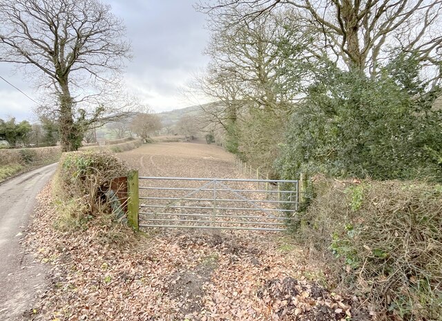
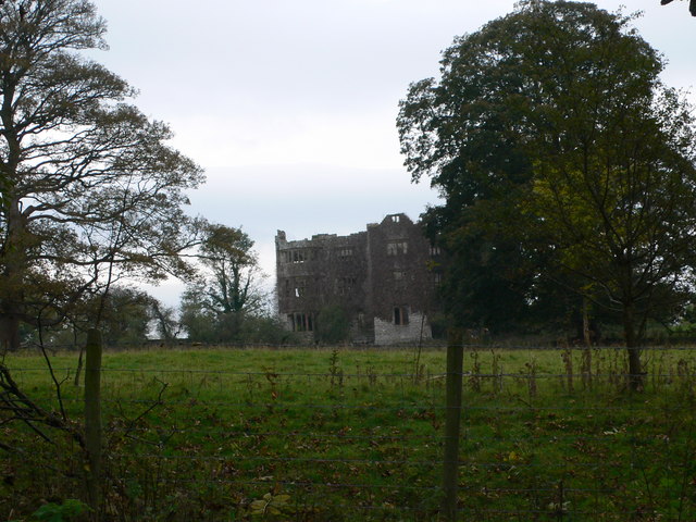
Beacon Hill Images

Images are sourced within 2km of 53.178912/-3.4694086 or Grid Reference SJ0165. Thanks to Geograph Open Source API. All images are credited.

On enclosed path between Henllan & Gwaenynog
Field path (right) & track by Gwaenynog Bach
Dr Johnson's Monument, valley of Afon Ystrad Dr Johnson's monument was erected in 1775 by Colonel John Myddleton of Gwaenanog to commemorate a visit made to the house by Samuel Johnson in the company of Mrs Thrale in 1774. Johnson was unimpressed by his erstwhile host's sycophancy and is said to have remarked 'it looks like an intention to bury me alive!' The monument was restored in 1975.
Dr Johnson's Monument, valley of Afon Ystrad
Dr Johnson's monument was erected in 1775 by Colonel John Myddleton of Gwaenanog to commemorate a visit made to the house by Samuel Johnson in the company of Mrs Thrale in 1774. Johnson was unimpressed by his erstwhile host's sycophancy and is said to have remarked 'it looks like an intention to bury me alive!' The monument was restored in 1975.
Rusty rollers At Gwaynygog.
Rusty rollers
At Gwaynygog.
Farm track to Tan y Marian
Barn east of Coed Wern-ddu
Tree stump with an eastward view
Rural road junction A minor road, heading west, leraves the B5428.
Rural road junction
A minor road, heading west, leraves the B5428.
Farm track to Groes Bach
Chapel burial ground in Groes
Field gate off lane
Field gate off lane
Ruinous barn at Egnyn
Waen Segrwyd
Waen Segrwyd
Ruined farm building at Pandy
Trees against the skyline
Part of the Afon Ystrad The bedrock is covered by a greater depth of water than at my last visit 11 months or so ago.
Part of the Afon Ystrad
The bedrock is covered by a greater depth of water than at my last visit 11 months or so ago.
The ruins of Dr. Johnson's Cottage near Denbigh This cottage was, I guess, a fishing bothy that was rented out to distinguished visitors, which included Doctor Samuel Johnson in the 1770's when he was touring through Wales. It is very small and now, sadly, very ruined.
The ruins of Dr. Johnson's Cottage near Denbigh
This cottage was, I guess, a fishing bothy that was rented out to distinguished visitors, which included Doctor Samuel Johnson in the 1770's when he was touring through Wales. It is very small and now, sadly, very ruined.
Fallen beam in Dr. Johnson's Cottage This roof spar or beam must have borne the weight of Dr. Samuel Johnson when he stayed in this cottage, but now it is rotting in the ruins.
Fallen beam in Dr. Johnson's Cottage
This roof spar or beam must have borne the weight of Dr. Samuel Johnson when he stayed in this cottage, but now it is rotting in the ruins.
Show me another place!

Beacon Hill is located at Grid Ref: SJ0165 (Lat: 53.178912, Lng: -3.4694086)

Unitary Authority: Denbighshire

Police Authority: North Wales

What 3 Words

///gossiped.yield.chosen. Near Henllan, Denbighshire

Related Wikis

Eriviat Hall

Eriviat Hall is a historic country house set in a 9 acre estate in Henllan, Denbighshire which was the home of the ffoulkes family and their descendants...

Gwaenynog

Gwaenynog is a small estate about 1 km (0.62 mi) to the south-west of the town of Denbigh, Wales. Its origins are mediaeval when it was built as a house...

Foxhall Newydd

Foxhall Newydd is a Grade I listed country house, roughly 1 kilometre (0.62 mi) to the southeast of Henllan, Denbighshire, north Wales. The house, planned...
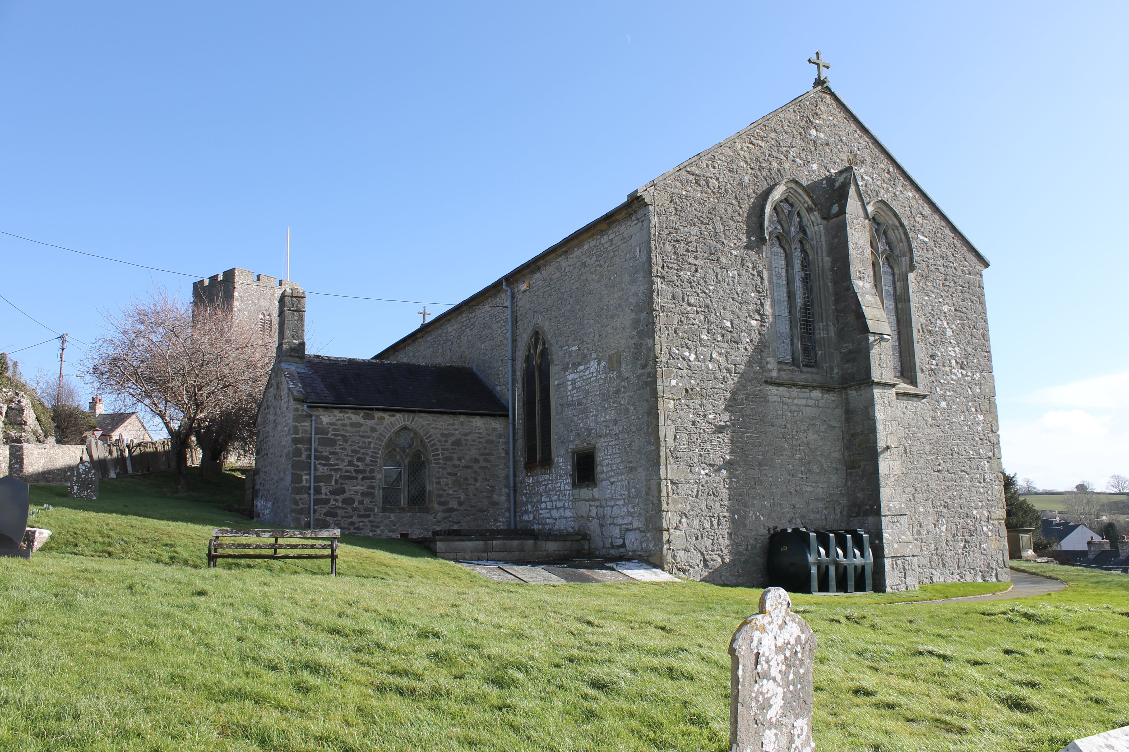
Henllan

Henllan is a village and community in Denbighshire, Wales with a population of approximately 750 (OfNS/2004) and lies in the countryside, approximately...

Nearby Amenities

Located within 500m of 53.178912,-3.4694086
Power: pole
Lat/Long: 53.1825587/-3.4698129
Power: pole
Lat/Long: 53.1815107/-3.4704459
Power: pole
Lat/Long: 53.1806266/-3.4707731
Power: pole
Lat/Long: 53.1800125/-3.4709716
Power: pole
Lat/Long: 53.179392/-3.4711325
Power: pole
Lat/Long: 53.1787362/-3.4713149
Power: pole
Lat/Long: 53.1781639/-3.4714758
Power: pole
Lat/Long: 53.1774341/-3.4716958
Power: pole
Lat/Long: 53.1768136/-3.4718889
Power: pole
Lat/Long: 53.1761255/-3.4721088
Power: pole
Lat/Long: 53.1757317/-3.4721571
Power: pole
Lat/Long: 53.1750034/-3.4724495
The data included in this document is from www.openstreetmap.org. The data is made available under ODbL.

Have you been to Beacon Hill?

Leave your review of Beacon Hill below (or comments, questions and feedback).