Càrn Etchachan
Hill, Mountain in Banffshire
Scotland
Càrn Etchachan

Càrn Etchachan is a prominent hill located in the Cairngorms National Park in Banffshire, Scotland. Standing at an impressive height of 1,115 meters (3,658 feet), it is a popular destination for hikers and outdoor enthusiasts.
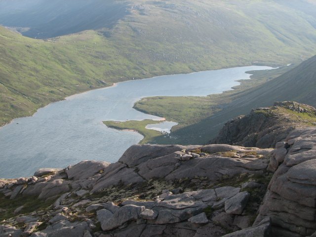
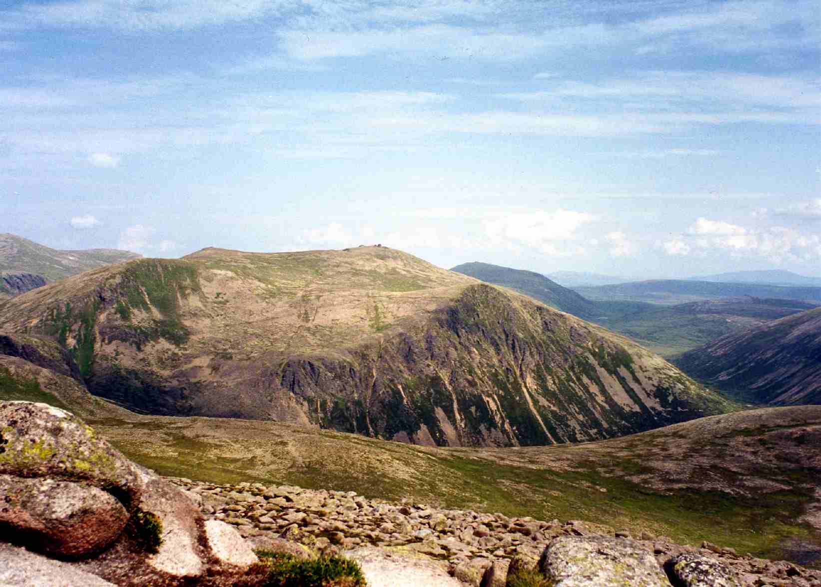
The hill is part of the Cairngorm mountain range, which is known for its stunning landscapes and diverse wildlife. Càrn Etchachan is situated in a remote and rugged area, offering breathtaking views of the surrounding valleys, lochs, and other peaks.
To reach the summit of Càrn Etchachan, hikers can choose from various routes, each offering a unique experience. One common route starts from the Linn of Dee car park, taking hikers through beautiful forests and across picturesque rivers. As they ascend, the landscape transitions from lush greenery to exposed granite slopes, providing a challenging but rewarding climb.
At the summit, visitors are treated to panoramic views of the surrounding mountains, including Ben Macdui, the second-highest peak in the UK. The vast expanse of the Cairngorms National Park stretches out before them, showcasing its pristine beauty and untouched wilderness.
Càrn Etchachan is also notable for its ecological importance. The hill is home to various plant species, including heather and moss, as well as a diverse range of birdlife and mammals. It serves as a crucial habitat for several rare and protected species, making it an essential conservation area.
Overall, Càrn Etchachan offers a challenging and rewarding hiking experience, combined with breathtaking scenery and ecological significance. It is a must-visit destination for those seeking to explore the natural wonders of the Cairngorms National Park.
If you have any feedback on the listing, please let us know in the comments section below.
Càrn Etchachan Images
Images are sourced within 2km of 57.088277/-3.6466677 or Grid Reference NJ0000. Thanks to Geograph Open Source API. All images are credited.


Càrn Etchachan is located at Grid Ref: NJ0000 (Lat: 57.088277, Lng: -3.6466677)
Unitary Authority: Moray
Police Authority: North East
What 3 Words
///inched.larger.chosen. Near Inverey, Aberdeenshire
Nearby Locations
Related Wikis

Loch Etchachan
Loch Etchachan is a remote freshwater loch set deep within the central Cairngorms plateau, in the Cairngorms National Park, located in the eastern Highlands...

Ly Erg
The Ly Erg is a fairy from Scottish folklore, particularly associated with the area in and around the Glenmore Forest, part of the present-day Cairngorms...

Cairngorms National Park
Cairngorms National Park (Scottish Gaelic: Pàirc Nàiseanta a' Mhonaidh Ruaidh) is a national park in northeast Scotland, established in 2003. It was the...

Cairngorm Plateau disaster
The Cairngorm Plateau disaster, also known as the Feith Buidhe disaster, occurred in November 1971 when six fifteen-year-old Edinburgh school students...

Lochan Buidhe
Lochan Buidhe is a small freshwater loch located on the Cairngorm Plateau in the eastern Highlands of Scotland. At over 1,120 m (3,670 ft) above sea level...
Cairngorm Lochs
Cairngorm Lochs is a protected wetland area in the Cairngorms, in the Grampian and Highland regions of Scotland. With a total area of 173 hectares, it...
Loch A'an
Loch A'an is a remote freshwater loch set deep within the central Cairngorms plateau, in the Cairngorms National Park, located in the eastern Highlands...
Beinn Mheadhoin (Cairngorms)
Beinn Mheadhoin or Beinn Meadhain (Scottish Gaelic for 'middle mountain') is a mountain in the Highlands of Scotland. It is a Munro with a height of 1...
Related Videos

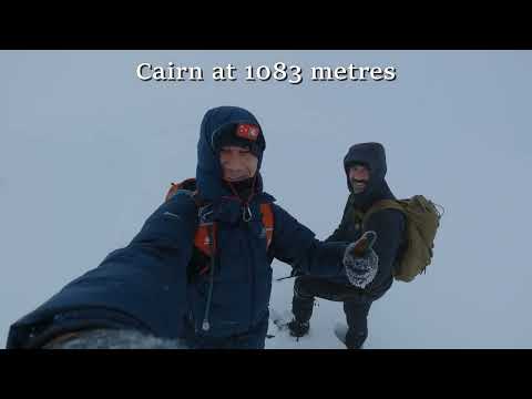
Climbing Ben Macdui and Cairngorm Mountain
In today's video I will be climbing Ben Macdui and Cairngorm! These are situated just 5 miles away from Aviemore in the ...

042.Ben Macdui Munro from Cairngorm Ski Centre car park.Hiking in Scotland,England and Wales.
Video series about climbing the major mountains of the Scottish Highlands, England and Wales. Videó sorozat a Skót Felföld, ...
Nearby Amenities
Located within 500m of 57.088277,-3.6466677Have you been to Càrn Etchachan?
Leave your review of Càrn Etchachan below (or comments, questions and feedback).