Bryn Ysbio
Hill, Mountain in Montgomeryshire
Wales
Bryn Ysbio

Bryn Ysbio is a prominent hill located in Montgomeryshire, Wales. It is situated in the southern part of the county, near the village of Llanfair Caereinion. The hill is part of the wider Cambrian Mountains range, known for their stunning landscapes and natural beauty.
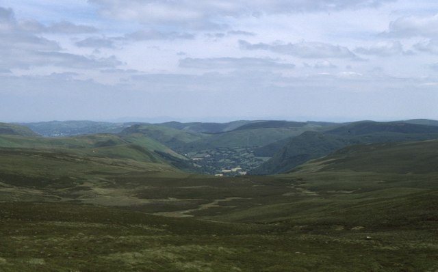
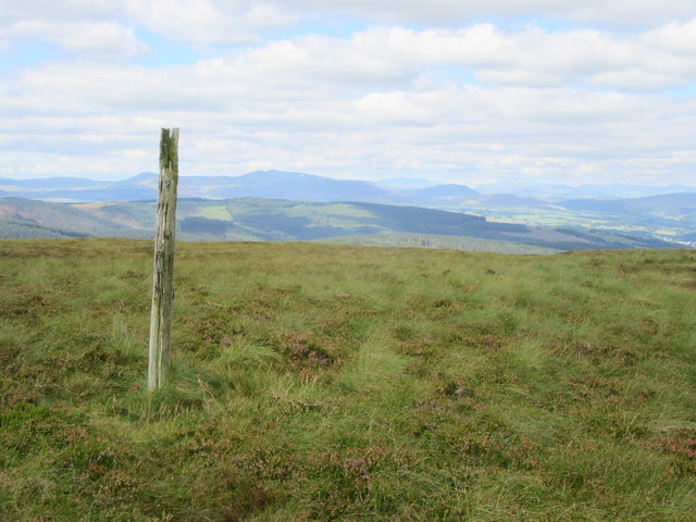
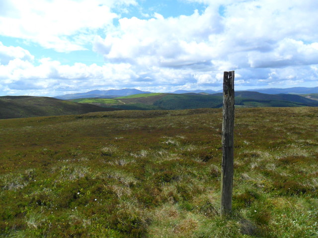
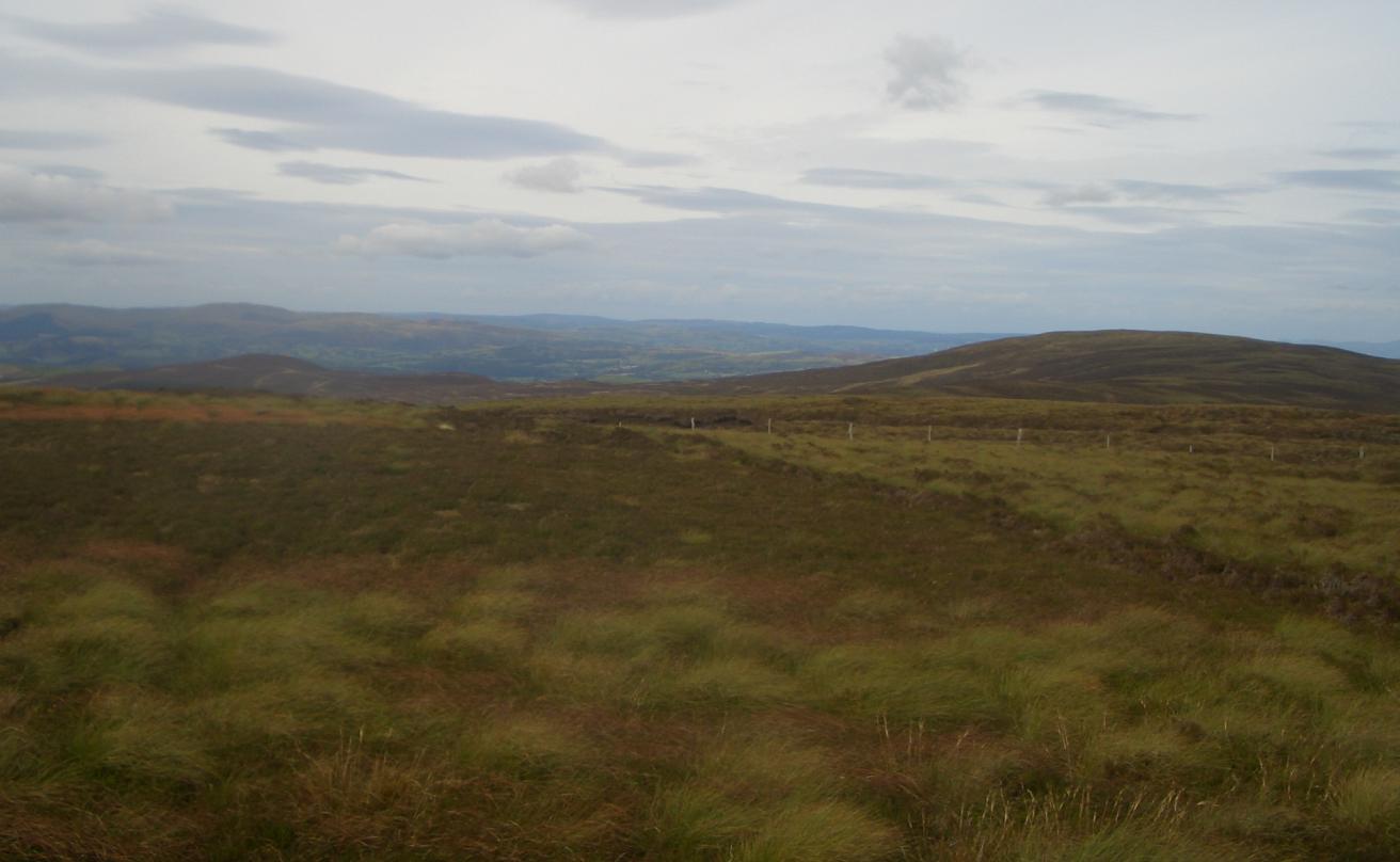
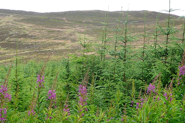
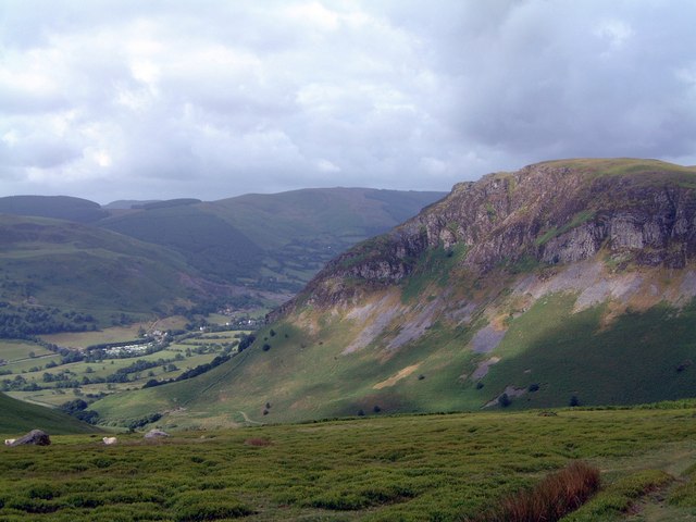
Rising to an elevation of approximately 1,380 feet (421 meters), Bryn Ysbio offers breathtaking panoramic views of the surrounding countryside. The hill is characterized by its gentle slopes and lush greenery, which make it a popular destination for hikers, nature enthusiasts, and photographers.
The area around Bryn Ysbio is rich in wildlife, with various species of birds, mammals, and plant life calling it home. Visitors may spot red kites soaring overhead or catch a glimpse of elusive mountain hares darting across the heather-clad slopes.
There are several walking trails and footpaths that crisscross the hill, allowing visitors to explore its diverse terrain. These paths range in difficulty, accommodating both casual walkers and experienced hikers. Along the way, walkers can admire the picturesque scenery, including ancient woodlands, babbling streams, and picturesque valleys.
Bryn Ysbio is a place of tranquility and natural beauty, providing a welcome escape from the hustle and bustle of everyday life. Whether you're seeking a challenging hike or simply a peaceful walk in nature, this Montgomeryshire hill offers an unforgettable experience for all who venture to its summit.
If you have any feedback on the listing, please let us know in the comments section below.
Bryn Ysbio Images
Images are sourced within 2km of 52.847477/-3.4819335 or Grid Reference SJ0028. Thanks to Geograph Open Source API. All images are credited.


Bryn Ysbio is located at Grid Ref: SJ0028 (Lat: 52.847477, Lng: -3.4819335)
Unitary Authority: Powys
Police Authority: Dyfed Powys
What 3 Words
///avocado.kingdom.repelled. Near Llangynog, Powys
Nearby Locations
Related Wikis

Milltir Cerrig
The Milltir Cerrig (Welsh for "mile of stones") is a mountain pass in Wales, on the B4391 between Bala (in the county of Gwynedd) and Llangynog (Powys...
Foel Cwm Sian Llŵyd
Foel Cwm Sian Llŵyd is a subsidiary summit of Cyrniau Nod in north east Wales. It forms a part of the Berwyn range known as the Hirnantau. Its summit has...

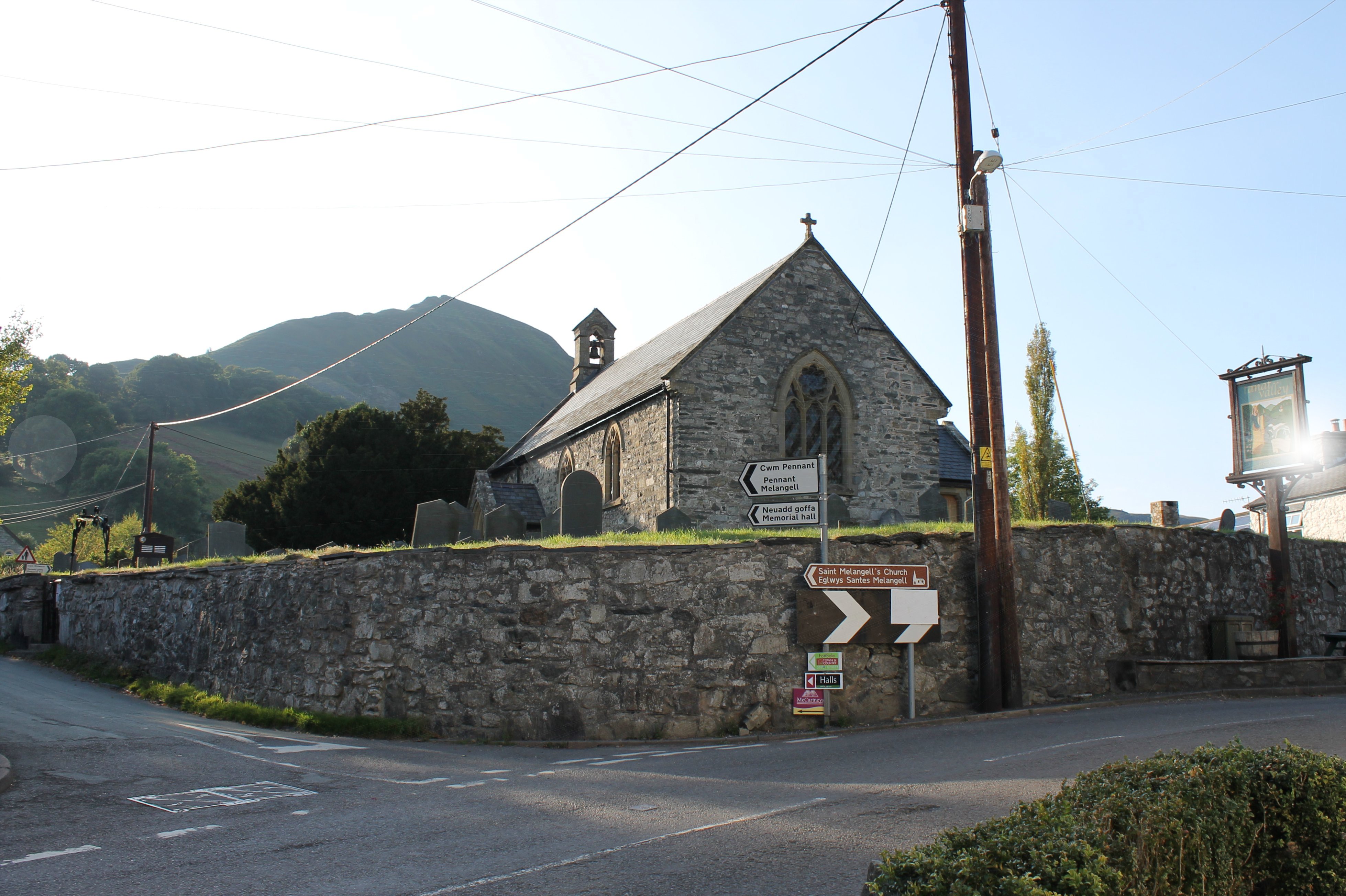
St Melangell's Church, Pennant Melangell
St Melangell's Church, Pennant Melangell, is a small church located on a minor road which joins the B4391 near the village of Llangynog, Powys, Wales....
Rhiwaedog
Rhiwaedog is the name of an ancient estate in North Wales, located in the Penllyn forest near Bala, Gwynedd. It gives its name today to two hills, Rhiwaedog...
Craig Rhiwarth
Craig Rhiwarth is a mountain in the Berwyn range, in Powys (formerly Montgomeryshire), Wales, overlooking the village of Llangynog to the south. On the...
Llangynog
Llangynog (; grid reference SJ053261) is a village and community at the confluence of the Afon Eirth and the Afon Tanat at the foot of the Berwyn range...

Llangynog railway station
Llangynog railway station was the western terminus station of the Tanat Valley Light Railway in Llangynog, Powys, Wales. The station opened in 1904, closed...

Rhiwargor
Rhiwargor is a hamlet in Powys, Wales. It is located north of Lake Vyrnwy. The hamlet is made up of a few houses with no amenities. It does however, lie...
Nearby Amenities
Located within 500m of 52.847477,-3.4819335Have you been to Bryn Ysbio?
Leave your review of Bryn Ysbio below (or comments, questions and feedback).