Blair Hill
Hill, Mountain in Perthshire
Scotland
Blair Hill
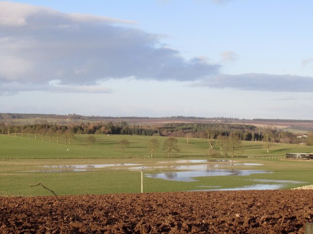
Blair Hill, located in Perthshire, Scotland, is a prominent feature in the beautiful landscape of the region. Standing at an elevation of approximately 425 meters (1,394 feet), it is considered a hill rather than a mountain. Offering stunning panoramic views of the surrounding countryside, Blair Hill attracts both locals and tourists alike.
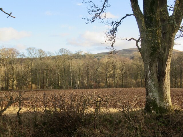
The hill is covered in a lush blanket of green, with its slopes adorned by a mixture of heather, grasses, and scattered trees. The area is home to a variety of wildlife, including red deer, badgers, and numerous bird species, making it a popular destination for nature enthusiasts and birdwatchers.
A well-maintained path allows visitors to easily ascend the hill, providing a relatively easy hike for people of all fitness levels. There are also picnic spots along the way, allowing visitors to take a break and soak in the breathtaking scenery.
At the summit, hikers are rewarded with breathtaking views across the rolling Perthshire countryside, with picturesque vistas extending as far as the eye can see. On a clear day, views of nearby mountains, such as Ben Vorlich and Ben Chonzie, add to the grandeur of the landscape.
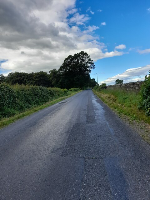
Blair Hill is easily accessible, with parking facilities available nearby. Its location just a short distance from the charming town of Blairgowrie makes it a popular day trip destination for both locals and tourists, offering a chance to escape into the tranquility of nature and enjoy the breathtaking beauty of Perthshire's countryside.
If you have any feedback on the listing, please let us know in the comments section below.
Blair Hill Images
Images are sourced within 2km of 56.297357/-3.6285977 or Grid Reference NN9912. Thanks to Geograph Open Source API. All images are credited.


Blair Hill is located at Grid Ref: NN9912 (Lat: 56.297357, Lng: -3.6285977)
Unitary Authority: Perth and Kinross
Police Authority: Tayside
What 3 Words
///desiring.viewer.victor. Near Auchterarder, Perth & Kinross
Nearby Locations
Related Wikis

Dunning, Perth and Kinross
Dunning is a small village in Perth and Kinross in Scotland with a population of about 1,000. The village centres around the 12th–13th century former parish...
Aberuthven
Aberuthven (; Gaelic: Obar Ruadhainn) is a small village in Perth and Kinross, Scotland. It lies approximately 2+1⁄2 miles (4 kilometres) northeast of...

Montrose Mausoleum
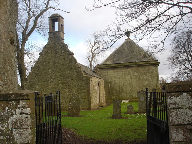
Montrose Mausoleum is located in the Scottish village of Aberuthven, Perth and Kinross. Dating to 1736, it is a Category A listed building. It stands in...

Dupplin Cross
The Dupplin Cross is a carved, monumental Pictish stone, which dates from around 800 AD. It was first recorded by Thomas Pennant in 1769, on a hillside...
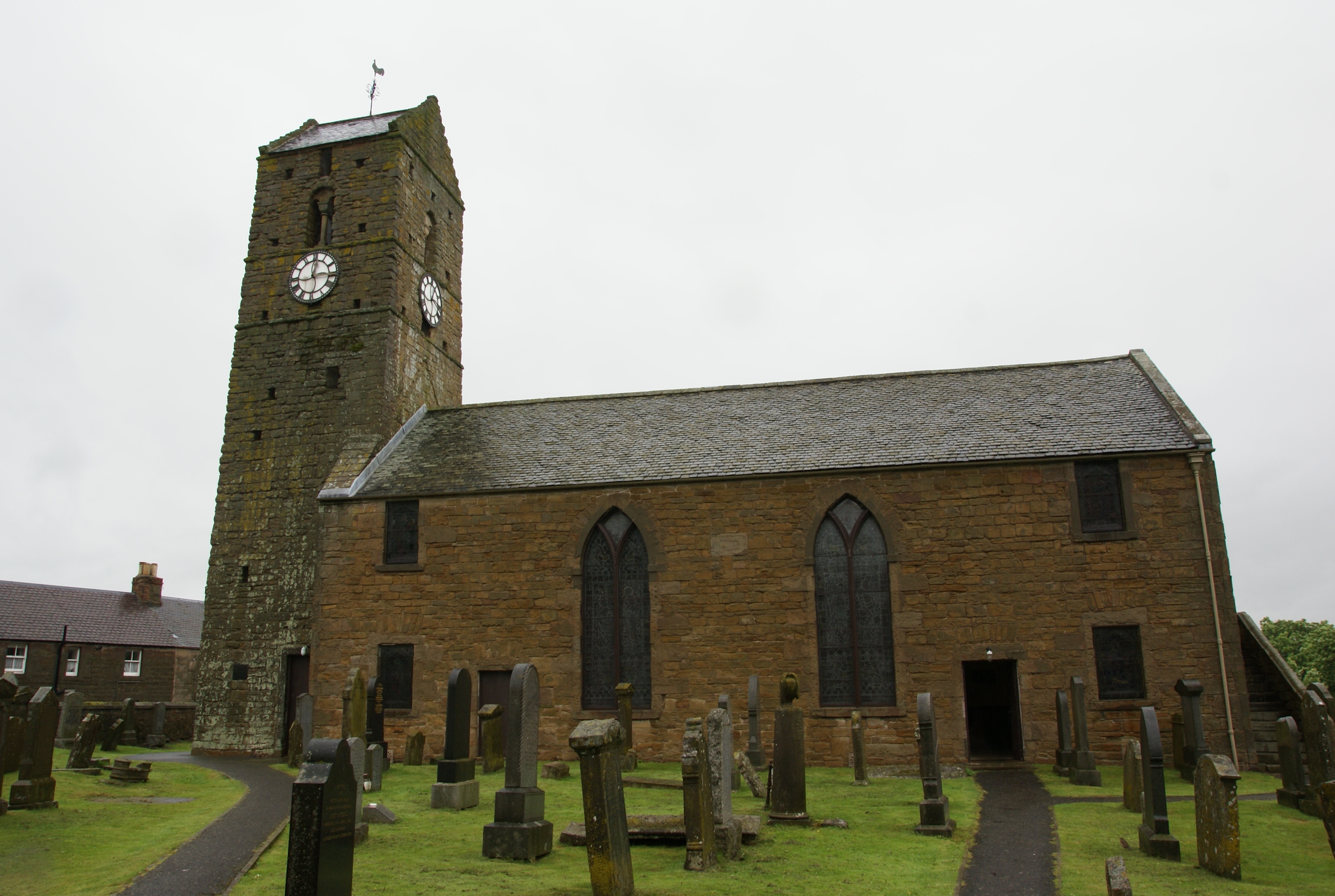
St Serf's Church, Dunning
St Serf's Church in the Scottish village of Dunning, Perth and Kinross is a Category A listed building largely dating to the early 19th century, but incorporating...
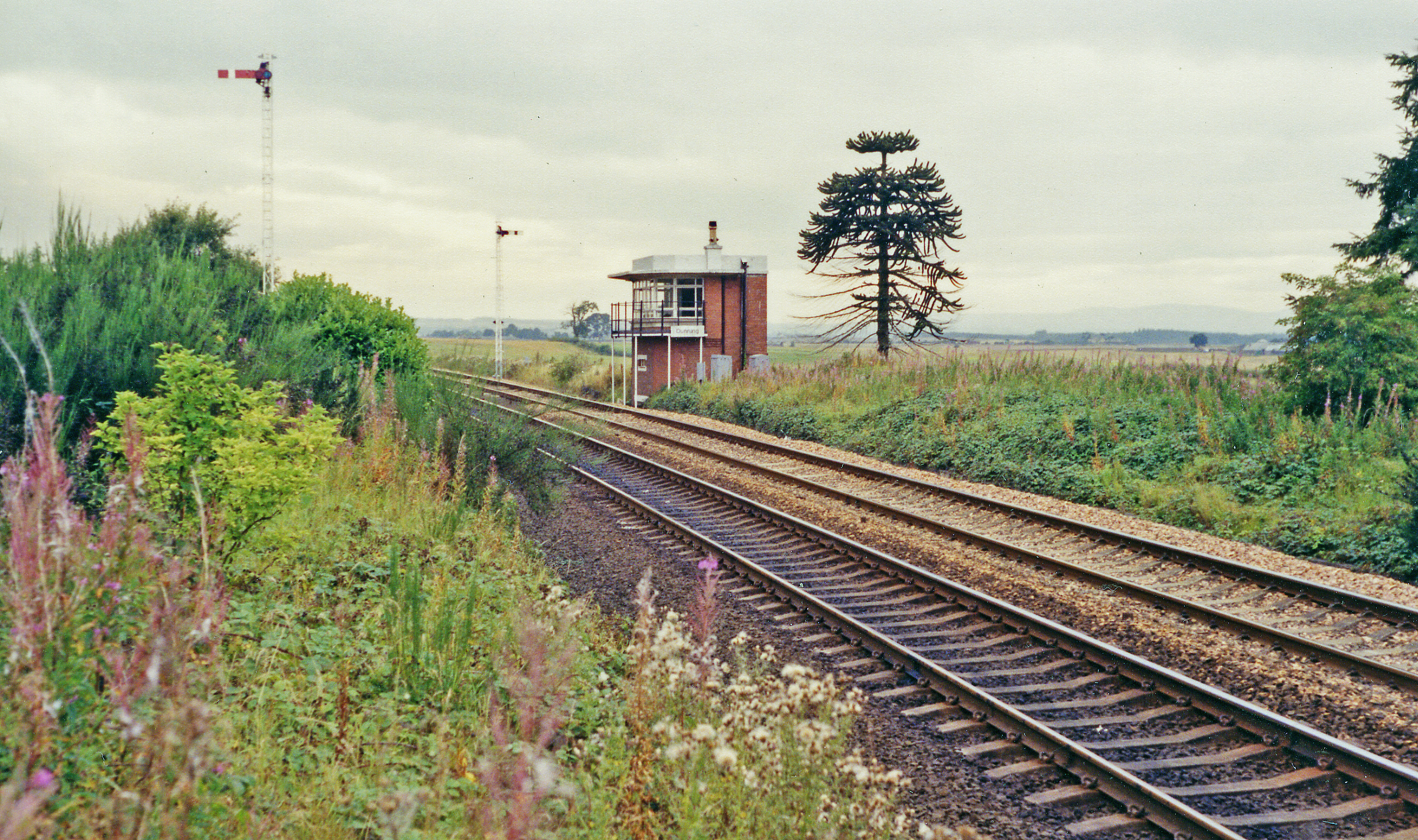
Dunning railway station
Dunning railway station served the village of Dunning, Perth and Kinross, Scotland from 1848 to 1956 on the Scottish Central Railway. == History == The...

Auchterarder railway station
Auchterarder railway station served the village of Auchterarder near Gleneagles in the Scottish county of Perth and Kinross. == History == Opened by the...

Kincardine Castle, Auchterarder
Kincardine Castle is a 19th-century manor house near Auchterarder in Perth and Kinross, Scotland. The building lies 1.5 kilometres (0.93 mi) south-west...
Have you been to Blair Hill?
Leave your review of Blair Hill below (or comments, questions and feedback).