Slag Hill
Hill, Mountain in West Lothian
Scotland
Slag Hill
Slag Hill is a prominent hill located in West Lothian, Scotland. Rising to a height of approximately 400 meters (1,312 feet), it forms part of the Bathgate Hills range. Situated near the town of Bathgate, Slag Hill is a popular destination for hikers, nature enthusiasts, and outdoor adventurers.
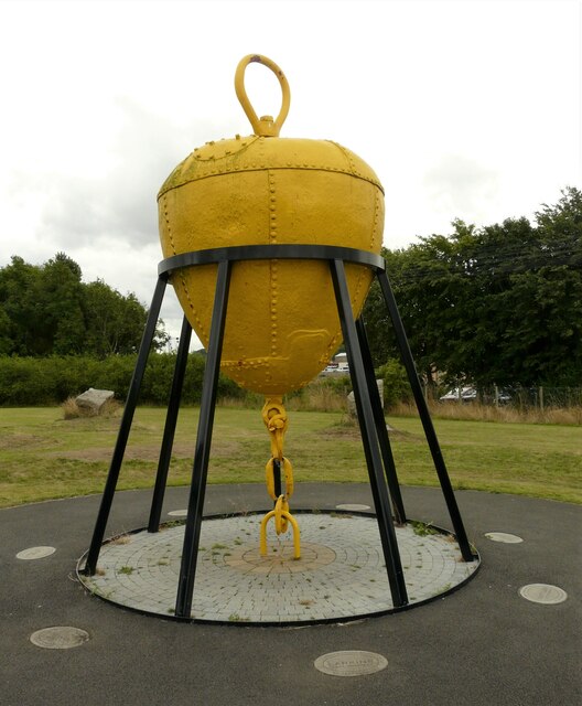
The hill derives its name from its historical association with the shale mining industry that was prevalent in the region during the 19th and early 20th centuries. Slag, a by-product of the mining process, was deposited on the hill, resulting in its distinctive appearance.
Offering breathtaking panoramic views of the surrounding countryside, Slag Hill boasts a diverse range of flora and fauna. The hill is covered in heather, grasses, and scattered trees, providing a habitat for various bird species, including meadow pipits, skylarks, and kestrels. The area is also home to a variety of wildlife, such as foxes, badgers, and deer.
There are several walking trails and paths that wind their way up Slag Hill, allowing visitors to explore its natural beauty. The hill's proximity to Bathgate makes it easily accessible, and it is a popular spot for locals and tourists alike. Outdoor activities, including hillwalking, birdwatching, and photography, are enjoyed by visitors throughout the year.
Slag Hill is not only a scenic destination but also holds historical significance in the industrial heritage of West Lothian.
If you have any feedback on the listing, please let us know in the comments section below.
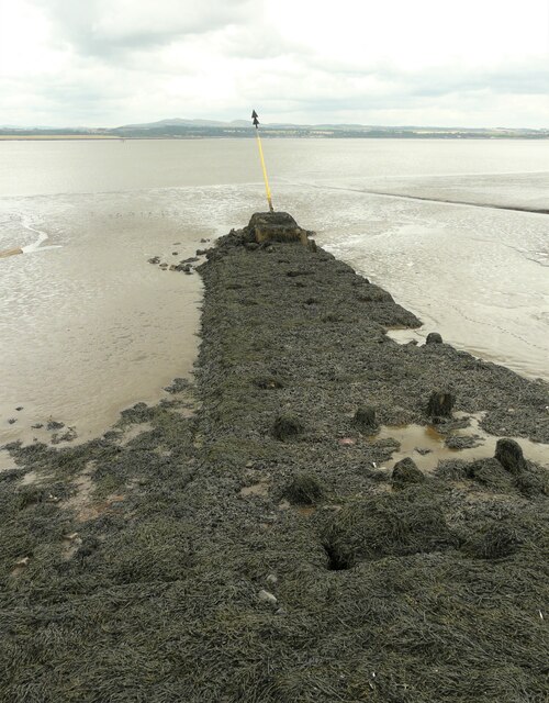
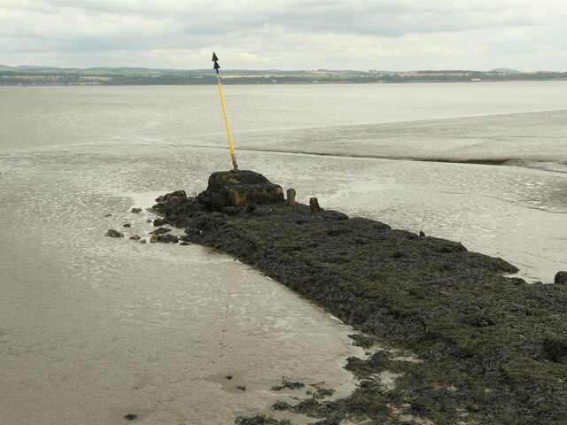
Slag Hill Images
Images are sourced within 2km of 56.010372/-3.6322984 or Grid Reference NS9880. Thanks to Geograph Open Source API. All images are credited.
Slag Hill is located at Grid Ref: NS9880 (Lat: 56.010372, Lng: -3.6322984)
Unitary Authority: Falkirk
Police Authority: Forth Valley
What 3 Words
///contained.nips.nerves. Near Bo’ness, Falkirk
Nearby Locations
Related Wikis
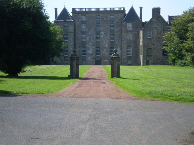
Kinneil House
Kinneil House is a historic house to the west of Bo'ness in east-central Scotland. It was once the principal seat of the Hamilton family in the east of...

Kinneil railway station
Kinneil railway station, also known as Kinneil Halt, is a railway station in Bo'ness, Scotland. The station is a request stop to start the tour of the...

Bo'ness Hospital
Bo'ness Hospital is a community hospital in Dean Road, Bo'ness, Scotland. It is managed by NHS Forth Valley. == History == The facility was established...

Newtown Park, Bo'ness
Newtown Park is a football ground in Bo'ness, Scotland. It is the home ground of Lowland League side Bo'ness United, and was previously the home ground...
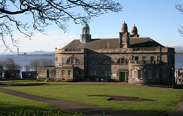
Bo'ness Town Hall
Bo'ness Town Hall is a municipal building in Stewart Avenue, Bo'ness, Scotland. The structure, which was the meeting place of Bo'ness Burgh Council, is...

Bo'ness
Borrowstounness (commonly known as Bo'ness ( boh-NESS)) is a town and former burgh and seaport on the south bank of the Firth of Forth in the Central Lowlands...

Hippodrome Cinema, Bo'ness
The Hippodrome Cinema in Bo'ness near Falkirk is an early example of a purpose-built cinema and thought to be the oldest such building surviving in Scotland...

Bo'ness Academy
Bo'ness Academy (BA) is a secondary school in Bo'ness, Falkirk, Scotland. The headteacher Ms Reid has been headteacher of Bo'ness Academy since 2019. The...
Nearby Amenities
Located within 500m of 56.010372,-3.6322984Have you been to Slag Hill?
Leave your review of Slag Hill below (or comments, questions and feedback).