Whaup Knowe
Hill, Mountain in Dumfriesshire
Scotland
Whaup Knowe

Whaup Knowe is a prominent hill located in Dumfriesshire, a historic county in southwest Scotland. Situated in the Southern Uplands, it stands at an elevation of approximately 457 meters (1,499 feet) above sea level. The hill is known for its distinctive conical shape, offering picturesque views of the surrounding countryside.
Covered in a mixture of heather, grasses, and scattered shrubs, Whaup Knowe is part of an extensive upland moorland. The area is home to a variety of wildlife, including red grouse, curlews, and buzzards, which can often be spotted soaring overhead. The hill's remote location provides a peaceful and tranquil atmosphere, attracting hikers and nature enthusiasts.
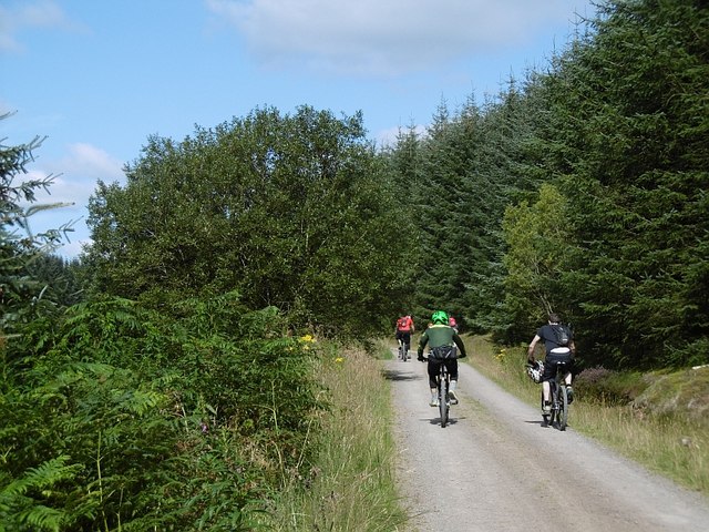
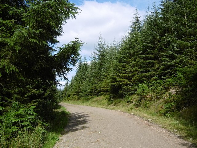
The ascent to the summit of Whaup Knowe can be challenging but rewarding, with a well-marked footpath leading to the top. The panoramic vistas from the summit showcase the rolling hills and valleys of Dumfriesshire, offering breathtaking views for miles around. On clear days, it is even possible to catch a glimpse of the Solway Firth and the distant Lake District in England.
Whaup Knowe is a popular destination for outdoor activities, including hillwalking, birdwatching, and photography. Its proximity to other notable landmarks, such as the Grey Mare's Tail waterfall and the Moffat Hills, makes it an ideal base for exploring the natural beauty of Dumfriesshire.
If you have any feedback on the listing, please let us know in the comments section below.
Whaup Knowe Images
Images are sourced within 2km of 55.226571/-3.6101358 or Grid Reference NX9793. Thanks to Geograph Open Source API. All images are credited.


Whaup Knowe is located at Grid Ref: NX9793 (Lat: 55.226571, Lng: -3.6101358)
Unitary Authority: Dumfries and Galloway
Police Authority: Dumfries and Galloway
What 3 Words
///contour.traps.sweetened. Near Thornhill, Dumfries & Galloway
Nearby Locations
Related Wikis

Forest of Ae
The Forest of Ae is located between Nithsdale and Annandale in Dumfries and Galloway in south-west Scotland. The forest was first planted in the 1920s...

Loch Ettrick
Loch Ettrick is a body of water near Thornhill and Ae, Dumfries and Galloway, in the Southern Uplands of Scotland.
Ae, Dumfries and Galloway
Ae (pronounced ) is a village in Dumfries and Galloway, south west Scotland. The village is located on the edge of a 15,000-acre (61 km2) human-made conifer...

Queensberry (hill)
Queensberry is a hill in the Lowther Hills range, part of the Southern Uplands of Scotland. The most southerly mountain in the range, it lies in the parish...

Wallace's House
Wallace's House is an earthen rampart, located near Lochmaben, Scotland, that is associated with William Wallace. The promontory fort is a scheduled item...
Crichope Linn
Crichope Linn or Crichop Linn, originally Creehope is a gorge and waterfall near Gatelawbridge in Dumfries and Galloway, southern Scotland. Linn is the...

Closeburn Castle
Closeburn Castle is a privately owned tower house, probably of the 14th century, but possibly older, and is one of the oldest continually inhabited houses...

Parkgate, Dumfries and Galloway
Parkgate is a small village in Dumfries and Galloway, Scotland. The village centre is located just to the east of the A701 approximately 8 miles (13 km...
Have you been to Whaup Knowe?
Leave your review of Whaup Knowe below (or comments, questions and feedback).