Hopton

Settlement in Staffordshire Stafford

England

Hopton

Gate Guardian At RAF Stafford
Gate Guardian Credit: Andy and Hilary

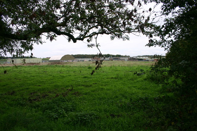
Hopton is a small village located in the county of Staffordshire, England. Situated on the eastern edge of the county, it lies approximately 5 miles south of the town of Stafford and 25 miles north of Birmingham. The village is part of the Staffordshire Moorlands district and falls within the civil parish of Hopton and Coton.

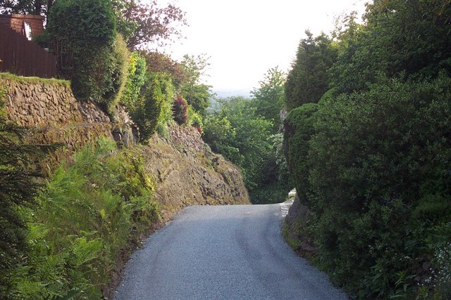
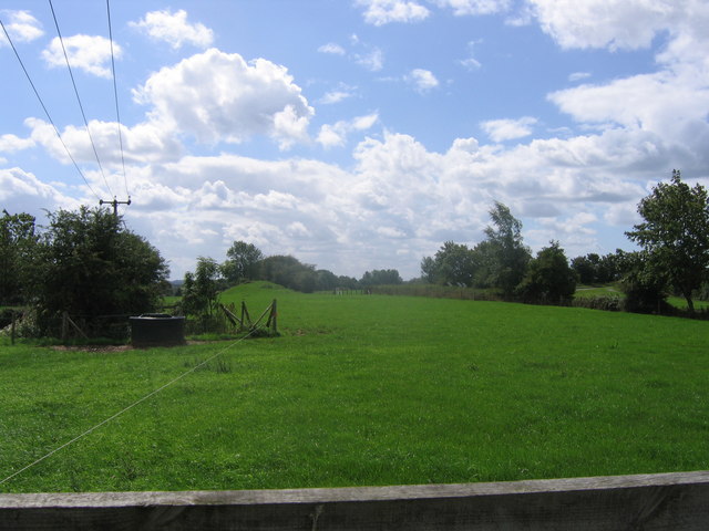
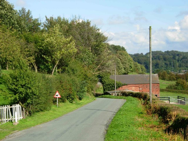
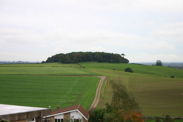
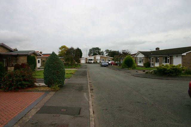
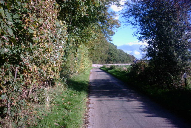
Hopton is a rural settlement surrounded by picturesque countryside, with rolling fields and wooded areas. The village itself is characterized by a mix of traditional stone-built cottages and more modern housing developments. The population of Hopton is relatively small, with around 500 residents.

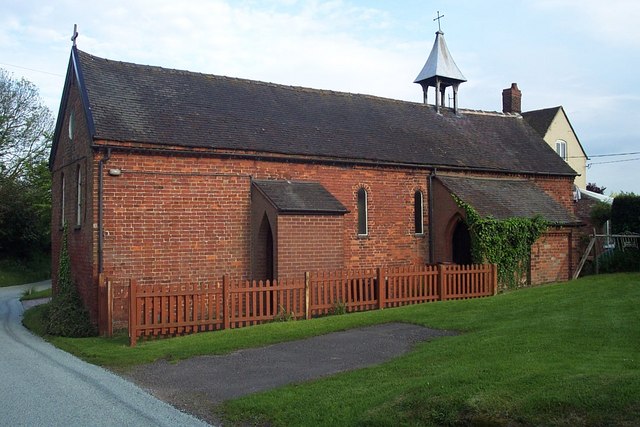
In terms of amenities, Hopton has a local pub, The Horse and Jockey, which serves as a meeting point for villagers and visitors alike. The village also has a primary school, Hopton Primary School, providing education for children aged 5-11.

The nearby town of Stafford offers a wider range of services and facilities, including supermarkets, shops, restaurants, and leisure centers. Hopton benefits from its proximity to Stafford, providing residents with easy access to these amenities while still enjoying the tranquility of rural life.

The surrounding area offers plenty of opportunities for outdoor activities, with numerous walking and cycling routes available in the Staffordshire countryside. Hopton is also located near several notable attractions, including the Cannock Chase Area of Outstanding Natural Beauty and the historic Stafford Castle.

Overall, Hopton provides a peaceful and idyllic setting for those looking to enjoy rural village life while remaining within reach of larger towns and cities.

If you have any feedback on the listing, please let us know in the comments section below.
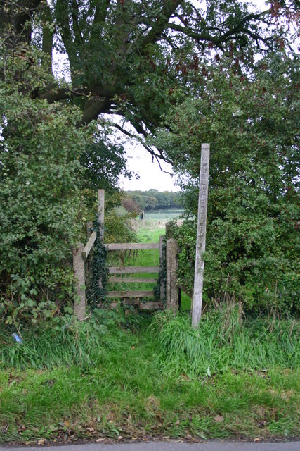
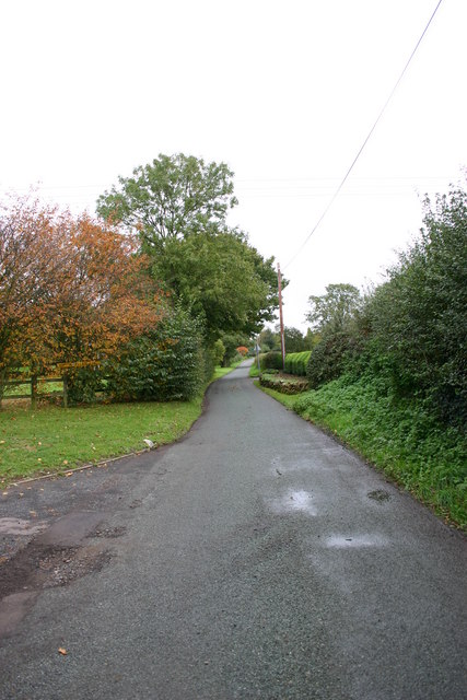
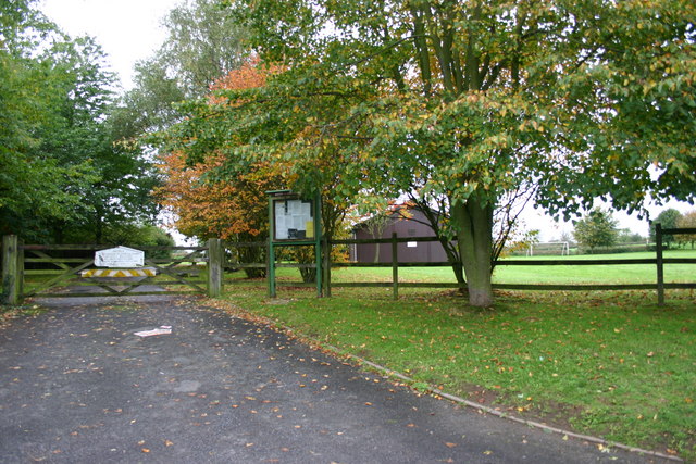
Hopton Images

Images are sourced within 2km of 52.833119/-2.0838964 or Grid Reference SJ9426. Thanks to Geograph Open Source API. All images are credited.

Gate Guardian At RAF Stafford
Gate Guardian
At RAF Stafford
Marl Hole Kents Barn Farm, Nr. Stafford
Marl Hole
Kents Barn Farm, Nr. Stafford
St. James the Great, Salt
County Showground Taken during the Staffordshire Show
County Showground
Taken during the Staffordshire Show
Wilmorehill Lane, Hopton
Hopton Church Dedicated to St. Peter
Hopton Church
Dedicated to St. Peter
Disappearing railway The railway line from Stafford to Uttoxeter used to cross this field on an embankment and then bridge the road the photographer is standing on. Now all that remains is the grassy mound in the background.
Disappearing railway
The railway line from Stafford to Uttoxeter used to cross this field on an embankment and then bridge the road the photographer is standing on. Now all that remains is the grassy mound in the background.
Road to Salt Looking along the lane leading from the B5066 to Salt village.
Road to Salt
Looking along the lane leading from the B5066 to Salt village.
Anson House, Stafford Technology Park Anson House, Stafford Technology Park. This is a new business park off Beaconside, Stafford bringing new business and employment to the town. It appears that most of the buildings have a nautical theme of which the stainless steel reflects (another image of the artwork submitted).
Anson House, Stafford Technology Park
Anson House, Stafford Technology Park. This is a new business park off Beaconside, Stafford bringing new business and employment to the town. It appears that most of the buildings have a nautical theme of which the stainless steel reflects (another image of the artwork submitted).
Stafford Technology Park Stafford Technology Park off Beaconside, Stafford. The business park has a nautical theme to it, for example, the unit in the middle of the picture is called Nelson Court.
Stafford Technology Park
Stafford Technology Park off Beaconside, Stafford. The business park has a nautical theme to it, for example, the unit in the middle of the picture is called Nelson Court.
Stainless Steel Sculpture This stainless steel sculpture reflects the nautical theme to the Stafford Business Park, where it and others can be found. The unit behind is called Anson House.
Stainless Steel Sculpture
This stainless steel sculpture reflects the nautical theme to the Stafford Business Park, where it and others can be found. The unit behind is called Anson House.
Battle Field, Stafford Here is a view of the site of the Battle of Hopton Heath on 19th March 1643 during the English Civil War. The Royalists for King Charles I were led by Spencer Compton, Earl of Northampton, killed in action during the battle. The Parliamentarians were led by Sir John Gel. The battle started at 3p.m. and lasted until dark. The outcome of this battle was indecisive. The buildings in the background are storage units for the RAF.
Battle Field, Stafford
Here is a view of the site of the Battle of Hopton Heath on 19th March 1643 during the English Civil War. The Royalists for King Charles I were led by Spencer Compton, Earl of Northampton, killed in action during the battle. The Parliamentarians were led by Sir John Gel. The battle started at 3p.m. and lasted until dark. The outcome of this battle was indecisive. The buildings in the background are storage units for the RAF.
Stile on Within Lane, Stafford This stile is on within Lane, Hopton near to Stafford. It gives access to the field where the Battle of Hopton Heath happened on 19th March 1643.
Stile on Within Lane, Stafford
This stile is on within Lane, Hopton near to Stafford. It gives access to the field where the Battle of Hopton Heath happened on 19th March 1643.
A lane out of Hopton Village This lane leads northeasterly out of the village of Hopton, near Stafford. Just out of view on the left is the Village Hall (photo submitted).
A lane out of Hopton Village
This lane leads northeasterly out of the village of Hopton, near Stafford. Just out of view on the left is the Village Hall (photo submitted).
Hopton Village Hall Hopton Village Hall near to Stafford
Hopton Village Hall
Hopton Village Hall near to Stafford
Beacon Hill, Stafford A view of Beacon Hill, Stafford from Cromwell Close at Hopton. This must have been an important landmark in years gone by and now gives name to a road, Beaconside, that runs for nearly three miles across the north of Stafford
Beacon Hill, Stafford
A view of Beacon Hill, Stafford from Cromwell Close at Hopton. This must have been an important landmark in years gone by and now gives name to a road, Beaconside, that runs for nearly three miles across the north of Stafford
Cromwell Close, Hopton This is Crowmell Close off another road called Battle Ridge in Hopton, near Stafford. One of the battles during the English Civil War took place close to this village.
Cromwell Close, Hopton
This is Crowmell Close off another road called Battle Ridge in Hopton, near Stafford. One of the battles during the English Civil War took place close to this village.
Farm Track and Bridleway This track leads to a pink painted farmhouse and a bridleway that leads across beautiful countryside to Tixall near stafford.
Farm Track and Bridleway
This track leads to a pink painted farmhouse and a bridleway that leads across beautiful countryside to Tixall near stafford.
Show me another place!

Hopton is located at Grid Ref: SJ9426 (Lat: 52.833119, Lng: -2.0838964)

Administrative County: Staffordshire

District: Stafford

Police Authority: Staffordshire

What 3 Words

///smile.empty.music. Near Stafford, Staffordshire

Related Wikis

Hopton, Staffordshire

Hopton is a village in the civil parish of Hopton and Coton and is within the English county of Staffordshire. == Location == The village is on the north...

Battle of Hopton Heath

The battle of Hopton Heath was a battle of the First English Civil War, fought on Sunday 19 March 1643 between Parliamentarian forces led by Sir John Gell...
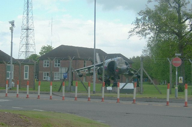
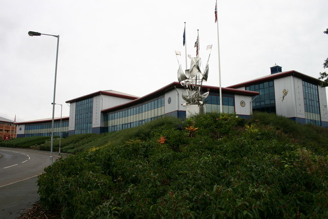
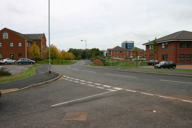
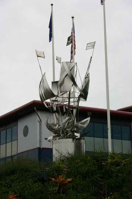
Beacon Barracks

Ministry of Defence Stafford otherwise known as MOD Stafford, Stafford Station or Beacon Barracks is a Ministry of Defence site in Stafford, in England...

RAF Stafford

Royal Air Force Stafford or more simply RAF Stafford was a non-flying Royal Air Force station in Stafford, Staffordshire, England. == History == The station...

Bingley Hall, Stafford

Bingley Hall (also known as New Bingley Hall to distinguish itself from the Bingley Hall in Birmingham) is an exhibition hall located in Stafford, England...

Salt and Sandon railway station

Salt and Sandon railway station was a former British railway station opened by the Stafford and Uttoxeter Railway to serve the village of Salt in Staffordshire...

Salt, Staffordshire

Salt is a village in the Borough of Stafford in Staffordshire, England. It is three miles northeast of Stafford situated half a mile southwest of the A51...

Weston Road Academy

The Weston Road Academy (formerly Weston Road High School) is an academy school in Stafford, England. It provides secondary and further education for pupils...

Nearby Amenities

Located within 500m of 52.833119,-2.0838964
Bus Stop
The Green
Bus: yes
Naptan AtcoCode: 3800C705100
Naptan Bearing: E
Naptan CommonName: The Green
Naptan Indicator: Adj
Naptan Landmark: The Green
Naptan Street: Hopton Lane
Naptan Verified: no
Public Transport: platform
Source: naptan_import
Lat/Long: 52.8331656/-2.0861674
Bus Stop
The Green
Bus: yes
Naptan AtcoCode: 3800C705101
Naptan Bearing: W
Naptan CommonName: The Green
Naptan Indicator: Opp
Naptan Landmark: The Green
Naptan Street: Hopton Lane
Naptan Verified: no
Public Transport: platform
Source: naptan_import
Lat/Long: 52.8330847/-2.0860634
Post Box
Post Box Type: lamp
Ref: ST18 191
Royal Cypher: EIIR
Royal Cypher Wikidata: Q33102113
Lat/Long: 52.8328889/-2.0844891
Hopton Heights
Power: substation
Lat/Long: 52.8309855/-2.0799687
Bus Stop
Hoptonhall Lane
Bus: yes
Naptan AtcoCode: 3800C745201
Naptan Bearing: NW
Naptan CommonName: Hoptonhall Lane
Naptan Indicator: Adj
Naptan Landmark: Hoptonhall Lane
Naptan Street: Within Lane
Naptan Verified: no
Public Transport: platform
Source: naptan_import
Lat/Long: 52.8358043/-2.078702
Hopton
Place: village
Wikidata: Q1251397
Lat/Long: 52.8324712/-2.083691
Advertising: board
Lat/Long: 52.8328781/-2.0845195
The data included in this document is from www.openstreetmap.org. The data is made available under ODbL.

Have you been to Hopton?

Leave your review of Hopton below (or comments, questions and feedback).