Castle Hill

Hill, Mountain in Fife

Scotland

Castle Hill

A907 towards Dunfermline
A907 towards Dunfermline Credit: Steven Brown

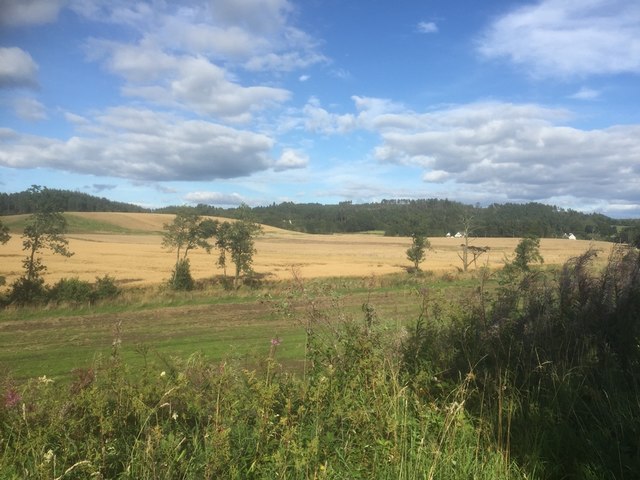
Castle Hill is a prominent hill located in the village of Ceres, in the region of Fife, Scotland. Standing at an elevation of approximately 175 meters (574 feet), it is a notable landmark in the area and offers breathtaking panoramic views of the surrounding countryside.

The hill derives its name from the medieval castle that once stood atop its summit, although no remnants of the castle remain today. However, the site is still of historical significance, with archaeological evidence suggesting that it was occupied during prehistoric times. The hill itself is formed from volcanic rock, known as dolerite, which gives it a distinctive appearance.

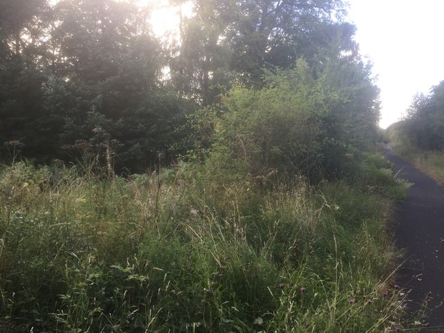
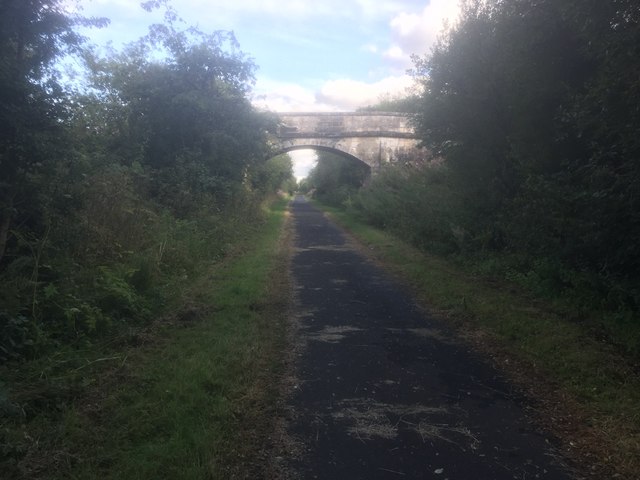
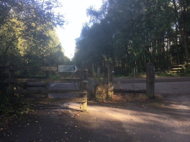
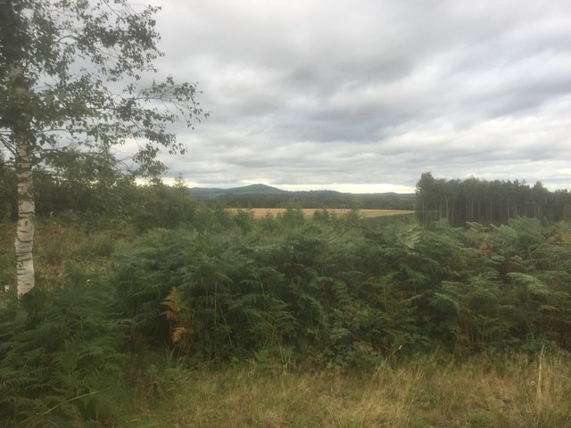
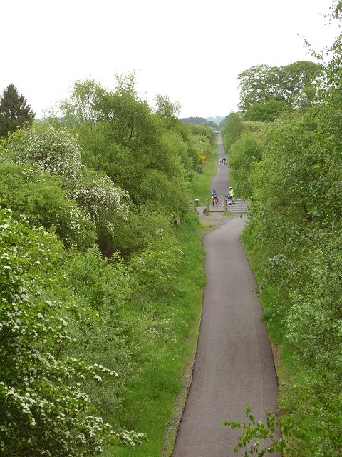
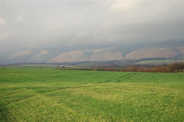
Castle Hill is a popular destination for hikers and nature enthusiasts, with several walking trails leading to the summit. The ascent can be challenging at times, but the reward is the magnificent vista that awaits at the top, showcasing the rolling hills, farmland, and picturesque villages of Fife.

Aside from its natural beauty, Castle Hill is also known for its association with folklore and legend. Local tales speak of hidden treasure buried within the hill, attracting treasure hunters and adding an air of mystery to the site.

Overall, Castle Hill in Fife is a captivating destination that offers both historical and natural wonders. Its commanding presence, stunning views, and intriguing past make it a must-visit location for anyone exploring the region.

If you have any feedback on the listing, please let us know in the comments section below.

Castle Hill Images

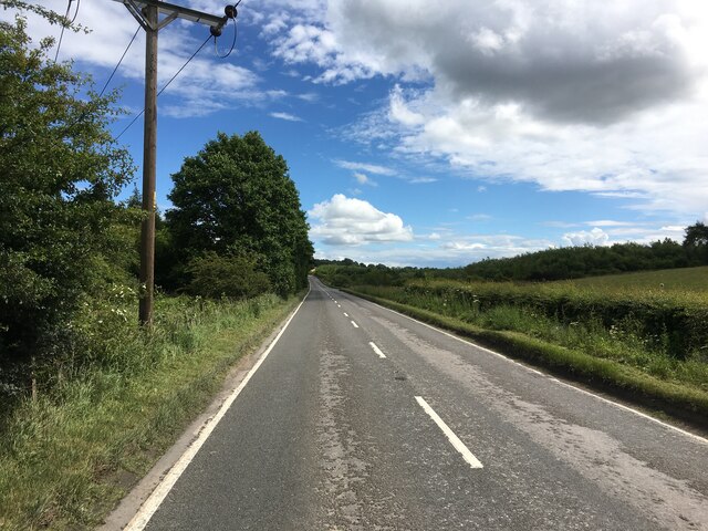
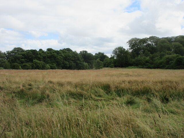
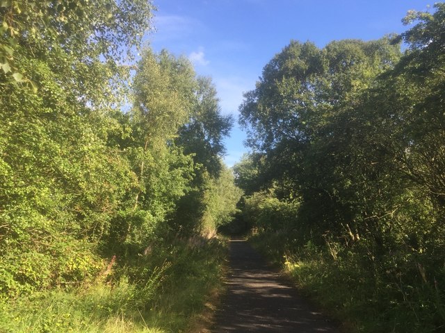
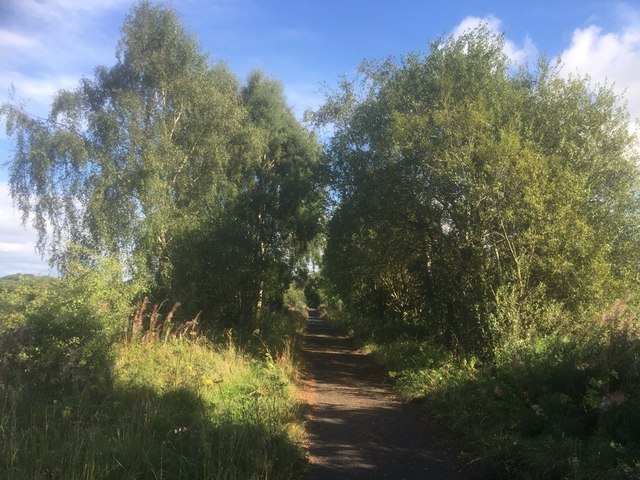
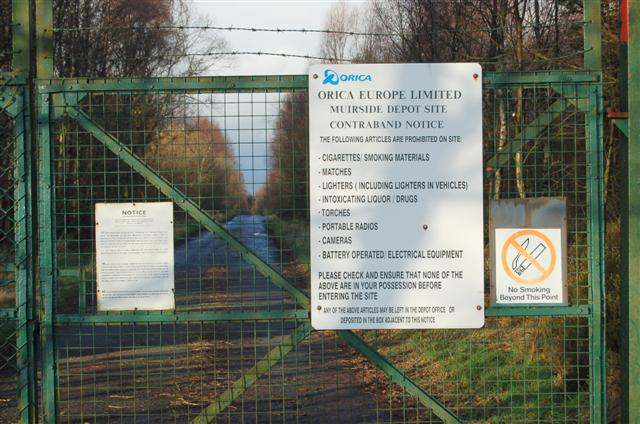
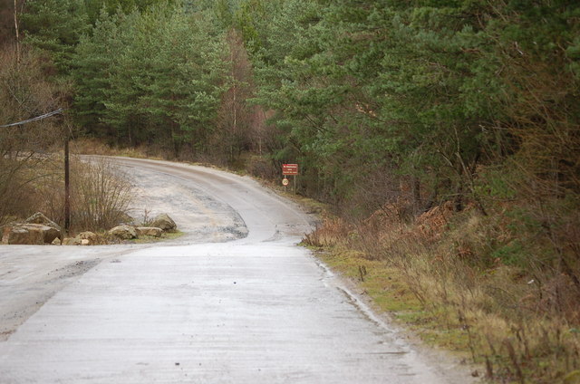
Images are sourced within 2km of 56.091778/-3.6550622 or Grid Reference NS9790. Thanks to Geograph Open Source API. All images are credited.

A907 towards Dunfermline
Rough field near the border Long unkempt grassland near the old railway line on the Clackmannan/Fife border.
Rough field near the border
Long unkempt grassland near the old railway line on the Clackmannan/Fife border.
West Fife Cycleway, Bogside
West Fife Cycleway
West Fife Cycleway
Accommodation bridge, Whitehall Farm
Road into Devilla Forest, Bogside
View from the trackbed, Bogside
View from Peat Hill, Devilla
West Fife Cycleway, Devilla turn off. The cycleway is very popular and forms part of an extensive network around Fife.
West Fife Cycleway, Devilla turn off.
The cycleway is very popular and forms part of an extensive network around Fife.
Disused signal box at the site of Bogside Station An interesting surviving relic from the railway along the West Fife Cycleway.
Disused signal box at the site of Bogside Station
An interesting surviving relic from the railway along the West Fife Cycleway.
Clackmannanshire Countryside Path Network Sign The sign is on the Fife and Clackmannanshire boundary where it is crossed by the Dunfermline to Alloa cycleway.
Clackmannanshire Countryside Path Network Sign
The sign is on the Fife and Clackmannanshire boundary where it is crossed by the Dunfermline to Alloa cycleway.
Disused railway, Brucefield Between Alloa and Dunfirmline, the railway is now a newly surfaced cyclepath.
Disused railway, Brucefield
Between Alloa and Dunfirmline, the railway is now a newly surfaced cyclepath.
Farm Bogside Farm with sand quarry structure on the horizon.
Farm
Bogside Farm with sand quarry structure on the horizon.
Tractor Tractor and trailer leaving Bogside Farm.
Tractor
Tractor and trailer leaving Bogside Farm.
Farmland A view north west across a field of winter crops to The Ochill Hills.
Farmland
A view north west across a field of winter crops to The Ochill Hills.
Entrance Entrance gate to explosive depot at Muirside.
Entrance
Entrance gate to explosive depot at Muirside.
Access Road This is a view of the access road to Devilla Sand Quarry.
Access Road
This is a view of the access road to Devilla Sand Quarry.
Show me another place!

Castle Hill is located at Grid Ref: NS9790 (Lat: 56.091778, Lng: -3.6550622)

Unitary Authority: Fife

Police Authority: Fife

What 3 Words

///haunts.ascendant.premature. Near High Valleyfield, Fife

Related Wikis

Bogside (Fife) railway station

Bogside (Fife) railway station served the hamlet of Bogside, Fife, Scotland from 1850 to 1958 on the Stirling and Dunfermline Railway. == History == The...

Brucefield House

Brucefield is an 18th-century country house in Clackmannanshire, Scotland. It is located 4 kilometres (2.5 mi) east of Clackmannan. The house was largely...

Balgownie Wood

Balgownie Wood is a woodland in West Fife, Scotland, south of the village of Blairhall and east of Balgownie Mains. The woods used to belong to nearby...

East Grange (Fife) railway station

East Grange railway station served the area of East Grange, Fife, Scotland, from 1850 to 1958 on the Stirling and Dunfermline Railway. == History == The...

Nearby Amenities

Located within 500m of 56.091778,-3.6550622
Fort
Historic: archaeological_site
Lat/Long: 56.0909399/-3.6552921
Bogside
Historic Railway: station
Railway: site
Wikidata: Q79805947
Wikipedia: en:Bogside (Fife) railway station
Lat/Long: 56.0928249/-3.6536033
Fife Silica Sands
Addr Street: A902
Man Made: works
Website: https://www.patersonsquarries.co.uk/our-locations/fife-silica/
Lat/Long: 56.0933196/-3.6615347
Bogside Railway Signal Box
Historic: railway_station
Lat/Long: 56.0923595/-3.6522631
Power: pole
Lat/Long: 56.09358/-3.6620437
Power: pole
Lat/Long: 56.0933384/-3.661115
Material: wood
Power: pole
Lat/Long: 56.093021/-3.6603327
Material: wood
Power: pole
Lat/Long: 56.0925589/-3.6592188
Material: wood
Power: pole
Lat/Long: 56.0921015/-3.6581019
Material: wood
Power: pole
Lat/Long: 56.0915764/-3.65847
Power: pole
Lat/Long: 56.0910676/-3.6588172
Power: pole
Lat/Long: 56.0903616/-3.6593276
Material: wood
Power: pole
Lat/Long: 56.0898879/-3.6596393
Material: wood
Power: pole
Lat/Long: 56.0893149/-3.6600472
Material: wood
Power: pole
Lat/Long: 56.0893767/-3.6612959
Material: wood
Power: pole
Lat/Long: 56.0892437/-3.6586122
Material: wood
Power: pole
Lat/Long: 56.0891888/-3.6573907
Material: wood
Power: pole
Lat/Long: 56.0891223/-3.6561461
Material: wood
Power: pole
Lat/Long: 56.0892775/-3.6552696
Material: wood
Power: pole
Lat/Long: 56.0894771/-3.6541568
Material: wood
Power: pole
Lat/Long: 56.0896591/-3.6530796
Material: wood
Power: pole
Lat/Long: 56.0898138/-3.6522366
Material: wood
Power: pole
Lat/Long: 56.0900133/-3.6510475
Material: wood
Power: pole
Lat/Long: 56.0902082/-3.6499346
Material: wood
Power: pole
Lat/Long: 56.0904089/-3.6488135
Material: wood
Power: pole
Lat/Long: 56.0904322/-3.6486524
Material: wood
Power: pole
Lat/Long: 56.0905834/-3.6477425
Material: wood
Power: pole
Lat/Long: 56.0907782/-3.647686
Material: wood
Power: pole
Lat/Long: 56.0914527/-3.6474748
Material: wood
Power: pole
Lat/Long: 56.0889694/-3.6533452
Material: wood
Power: pole
Lat/Long: 56.0884816/-3.6524855
Material: wood
Power: pole
Lat/Long: 56.087869/-3.6516614
Material: wood
Power: pole
Lat/Long: 56.0928297/-3.6530221
Material: wood
Power: pole
Lat/Long: 56.0923594/-3.6518988
Material: wood
Power: pole
Lat/Long: 56.092154/-3.6513675
Material: wood
Power: pole
Lat/Long: 56.0917958/-3.6503927
Material: wood
Power: pole
Lat/Long: 56.0914457/-3.6494159
Material: wood
Power: pole
Lat/Long: 56.0911108/-3.6484474
Material: wood
Power: pole
Lat/Long: 56.092154/-3.6513675
Material: wood
Power: pole
Lat/Long: 56.092154/-3.6513675
Post Box
Post Box Type: lamp
Lat/Long: 56.0934483/-3.6538899
Bench
Backrest: no
Material: wood
Lat/Long: 56.092211/-3.6518356
The data included in this document is from www.openstreetmap.org. The data is made available under ODbL.

Have you been to Castle Hill?

Leave your review of Castle Hill below (or comments, questions and feedback).