Blagdon Hill

Hill, Mountain in Somerset Somerset West and Taunton

England

Blagdon Hill

Langham Hill Pit foundations This was an iron ore mine and this pit was sunk in 1865-66 and a second hand rotative beam pumping and winding engine was brought over from South Wales. This had a 25" cylinder. It was later moved to Burrow Farm were it was installed in 1879. These foundations were excavated in 1995 and include the engine house, boiler house for two boiler, chimney base and flywheel pit. The shaft is nearby and fenced off.
Langham Hill Pit foundations Credit: Chris Allen

Blagdon Hill is a small village located in Somerset, England. Situated on a hill, it offers beautiful views of the surrounding countryside and is known for its rural charm. The village is part of the Taunton Deane district and lies about 4 miles southeast of the town of Taunton.

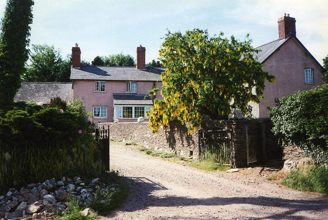
Blagdon Hill is home to a close-knit community with a population of around 500 residents. The village is characterized by its traditional stone-built houses, many of which have been well-preserved over the years. The architecture is a mix of historic and modern buildings, giving the village a unique blend of old-world charm and contemporary appeal.

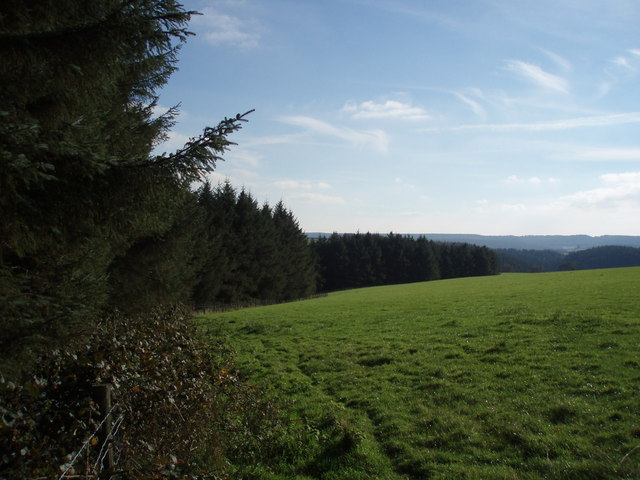
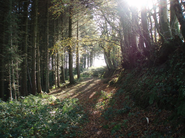
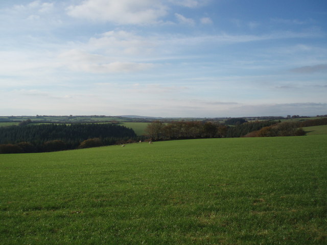
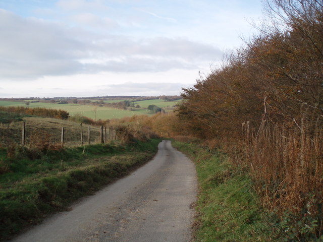
The village is surrounded by picturesque landscapes, with rolling hills and lush green fields. It is a popular destination for outdoor enthusiasts, offering numerous walking and cycling routes that allow visitors to explore the stunning countryside. Additionally, there are several nature reserves nearby, providing opportunities for birdwatching and wildlife spotting.

Blagdon Hill has a few amenities to serve its residents and visitors. There is a local pub, offering a warm and friendly atmosphere, as well as a village hall that hosts various community events and activities. The village also has a primary school, providing education for the local children.

Overall, Blagdon Hill is a tranquil and idyllic village, perfect for those seeking a peaceful retreat in the heart of the Somerset countryside. Its natural beauty, combined with its strong sense of community, make it a truly special place to live or visit.

If you have any feedback on the listing, please let us know in the comments section below.
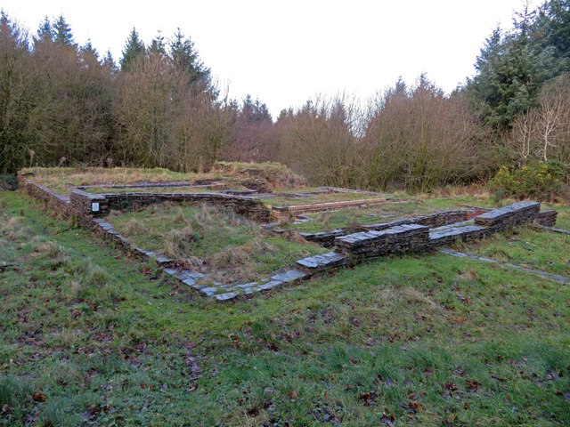
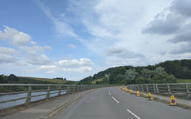
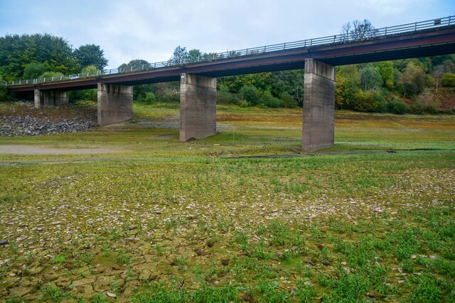
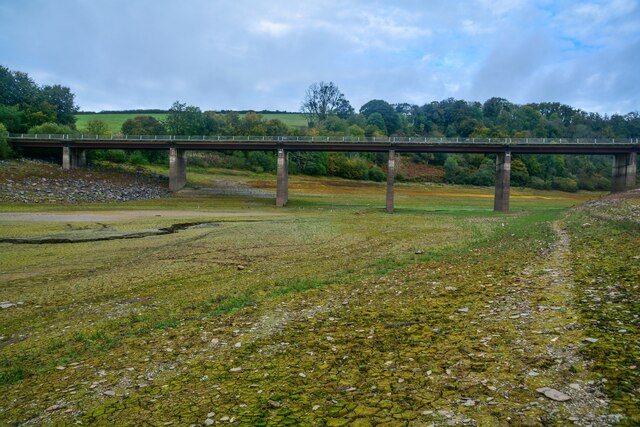
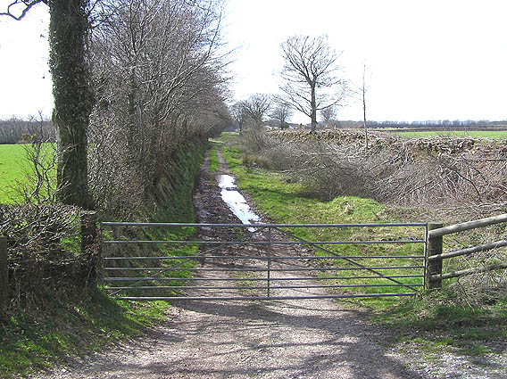
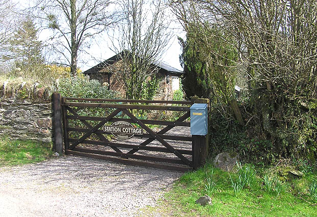
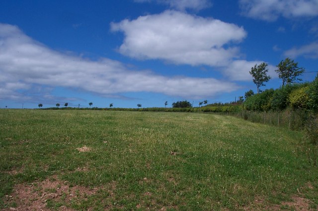
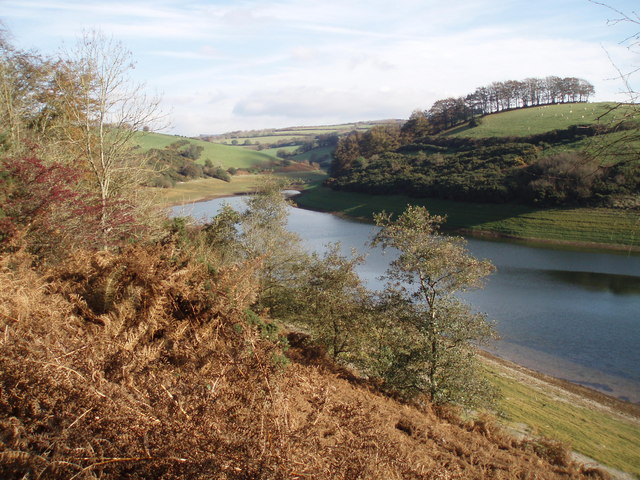
Blagdon Hill Images

Images are sourced within 2km of 51.093828/-3.4704669 or Grid Reference SS9733. Thanks to Geograph Open Source API. All images are credited.

Langham Hill Pit foundations This was an iron ore mine and this pit was sunk in 1865-66 and a second hand rotative beam pumping and winding engine was brought over from South Wales. This had a 25" cylinder. It was later moved to Burrow Farm were it was installed in 1879. These foundations were excavated in 1995 and include the engine house, boiler house for two boiler, chimney base and flywheel pit. The shaft is nearby and fenced off.
Langham Hill Pit foundations
This was an iron ore mine and this pit was sunk in 1865-66 and a second hand rotative beam pumping and winding engine was brought over from South Wales. This had a 25" cylinder. It was later moved to Burrow Farm were it was installed in 1879. These foundations were excavated in 1995 and include the engine house, boiler house for two boiler, chimney base and flywheel pit. The shaft is nearby and fenced off.
Crossing Bessom Bridge at the head of Wimbleball lake, heading east
Brompton Regis : Bessom Bridge Looking towards Bessom Bridge which usually has Wimblelake Lake underneath.
Brompton Regis : Bessom Bridge
Looking towards Bessom Bridge which usually has Wimblelake Lake underneath.
Brompton Regis : Bessom Bridge Looking towards Bessom Bridge at the northern side of Wimbleball Lake, which today is not much of a lake.
Brompton Regis : Bessom Bridge
Looking towards Bessom Bridge at the northern side of Wimbleball Lake, which today is not much of a lake.
Brompton Regis : Wimbleball Lake Where the water should be at the northern end of the lake.
Brompton Regis : Wimbleball Lake
Where the water should be at the northern end of the lake.
Brompton Regis: Gupworthy Farm Nearby are old workings for iron ore as is the site of the terminus of the West Somerset Mineral Railway – both at SS966353. Below the farm a barn retained an overshot waterwheel in 1996; it was said to be powered by the water from a mine adit, channelled in a leat
Brompton Regis: Gupworthy Farm
Nearby are old workings for iron ore as is the site of the terminus of the West Somerset Mineral Railway – both at SS966353. Below the farm a barn retained an overshot waterwheel in 1996; it was said to be powered by the water from a mine adit, channelled in a leat
Besom Bridge, Wimbleball reservoir New bridge over north going arm of the reservoir taking the Brompton Regis to Brendon Hill road over the flooded valley
Besom Bridge, Wimbleball reservoir
New bridge over north going arm of the reservoir taking the Brompton Regis to Brendon Hill road over the flooded valley
Church of St. Mary Magdalene, Withiel Florey Looking North over the upper part of the valley that contains the north arm of Wimbleball reservoir.
Church of St. Mary Magdalene, Withiel Florey
Looking North over the upper part of the valley that contains the north arm of Wimbleball reservoir.
Old trackbed of the West Somerset Mineral Railway The sunken trackbed of the old Mineral Railway that was lifted nearly one hundred years ago. We are looking west towards the old terminus at Gupworthy, app one mile away.
Old trackbed of the West Somerset Mineral Railway
The sunken trackbed of the old Mineral Railway that was lifted nearly one hundred years ago. We are looking west towards the old terminus at Gupworthy, app one mile away.
Gupworthy "Terminus" The old station buildings of what was the western end of the old Mineral Railway are now in private hands, but the sign on the gate refers to Gupworthy Terminus!
Gupworthy "Terminus"
The old station buildings of what was the western end of the old Mineral Railway are now in private hands, but the sign on the gate refers to Gupworthy Terminus!
Small hedgerow trees near Withiel Florey Maintaining the traditional hedgerow pattern of the Brendon Hills.
Small hedgerow trees near Withiel Florey
Maintaining the traditional hedgerow pattern of the Brendon Hills.
The northern end of Wimbleball Lake The reservoir level is quite low.
The northern end of Wimbleball Lake
The reservoir level is quite low.
The road to King's Brompton Farm
Woodland edge near Leigh Farm
Woodland path near Leigh Farm Looking south along the path.
Woodland path near Leigh Farm
Looking south along the path.
King's Brompton Forest The forest runs along the valley in the middle distance.
King's Brompton Forest
The forest runs along the valley in the middle distance.
Road at Blagdon Hill
Track near Gupworthy Farm
Show me another place!

Blagdon Hill is located at Grid Ref: SS9733 (Lat: 51.093828, Lng: -3.4704669)

Administrative County: Somerset

District: Somerset West and Taunton

Police Authority: Avon and Somerset

What 3 Words

///carpets.highlighted.miracle. Near Dulverton, Somerset

Related Wikis

Church of St Mary Magdalene, Withiel Florey

The Anglican Church of St Mary Magdalene in Withiel Florey, Somerset, England was built in the 12th century. It is a Grade II* listed building. == History... ==

Gupworthy railway station

Gupworthy (sometimes referred to as "Goosemoor") was originally intended as an intermediate station on the West Somerset Mineral Railway (WSMR), but neither...

Luxborough Road railway station

Luxborough Road (sometimes referred to as "Langham" or "Langham Hill") was an intermediate station on the West Somerset Mineral Railway (WSMR), which was...

Brompton Regis

Brompton Regis (formerly known as Kingsbrompton) is a village and civil parish in the Somerset West and Taunton district of Somerset, England about 5 miles...

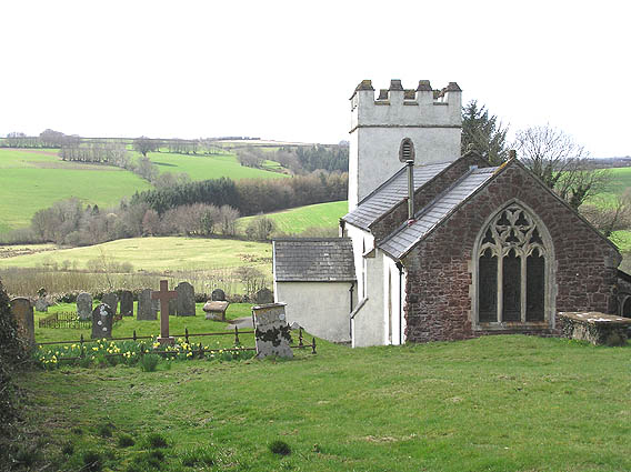
Church of St Mary, Brompton Regis

The Anglican Church of St Mary in Brompton Regis, Somerset, England was built in the 13th century. It is a Grade II* listed building. == History == The...
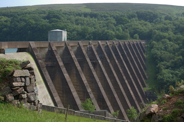
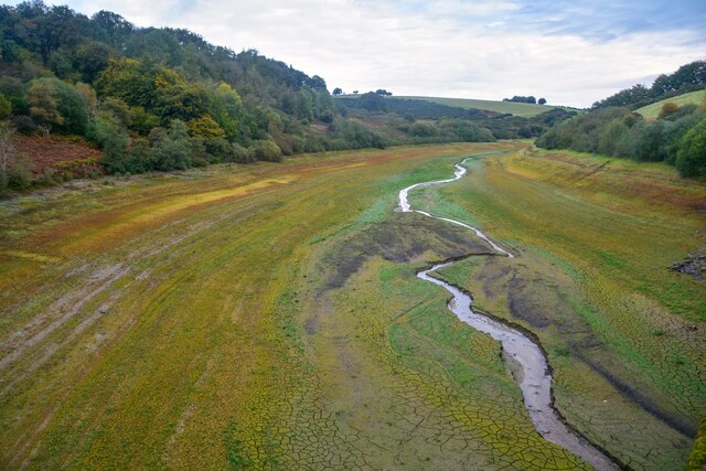
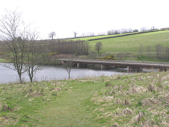
Wimbleball Lake

Wimbleball Lake on Exmoor in Somerset, England, is a water supply reservoir constructed in the 1970s and completed in 1979. The 161 feet (49 m) high dam...

Brendon Hills

The Brendon Hills are a range of hills in west Somerset, England. The hills merge level into the eastern side of Exmoor and are included within the Exmoor...

Luxborough

Luxborough is a small village and civil parish located some 6 miles (9.7 km) south of Dunster, lying amongst the Brendon Hills and the Exmoor National...

Nearby Amenities

Located within 500m of 51.093828,-3.4704669
Blagdon Hill
Access: private
Ele: 360
Man Made: survey_point
Natural: peak
Lat/Long: 51.0938044/-3.4704893
The data included in this document is from www.openstreetmap.org. The data is made available under ODbL.

Have you been to Blagdon Hill?

Leave your review of Blagdon Hill below (or comments, questions and feedback).