Mynydd Maendy
Hill, Mountain in Glamorgan
Wales
Mynydd Maendy
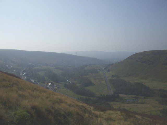
Mynydd Maendy, located in Glamorgan, Wales, is a prominent hill/mountain known for its stunning natural beauty and historical significance. Standing at an elevation of approximately 290 meters (951 feet), it offers breathtaking views of the surrounding countryside and nearby valleys.
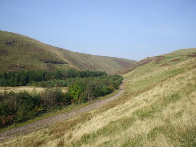
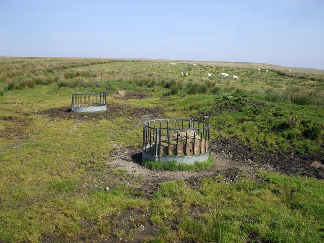
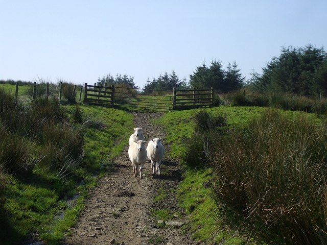
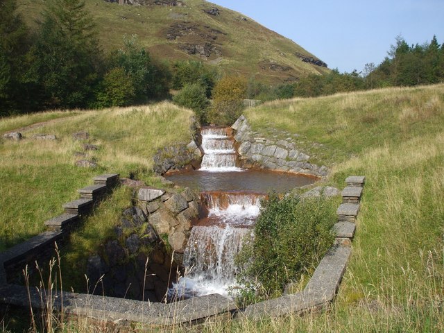
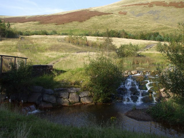
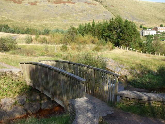
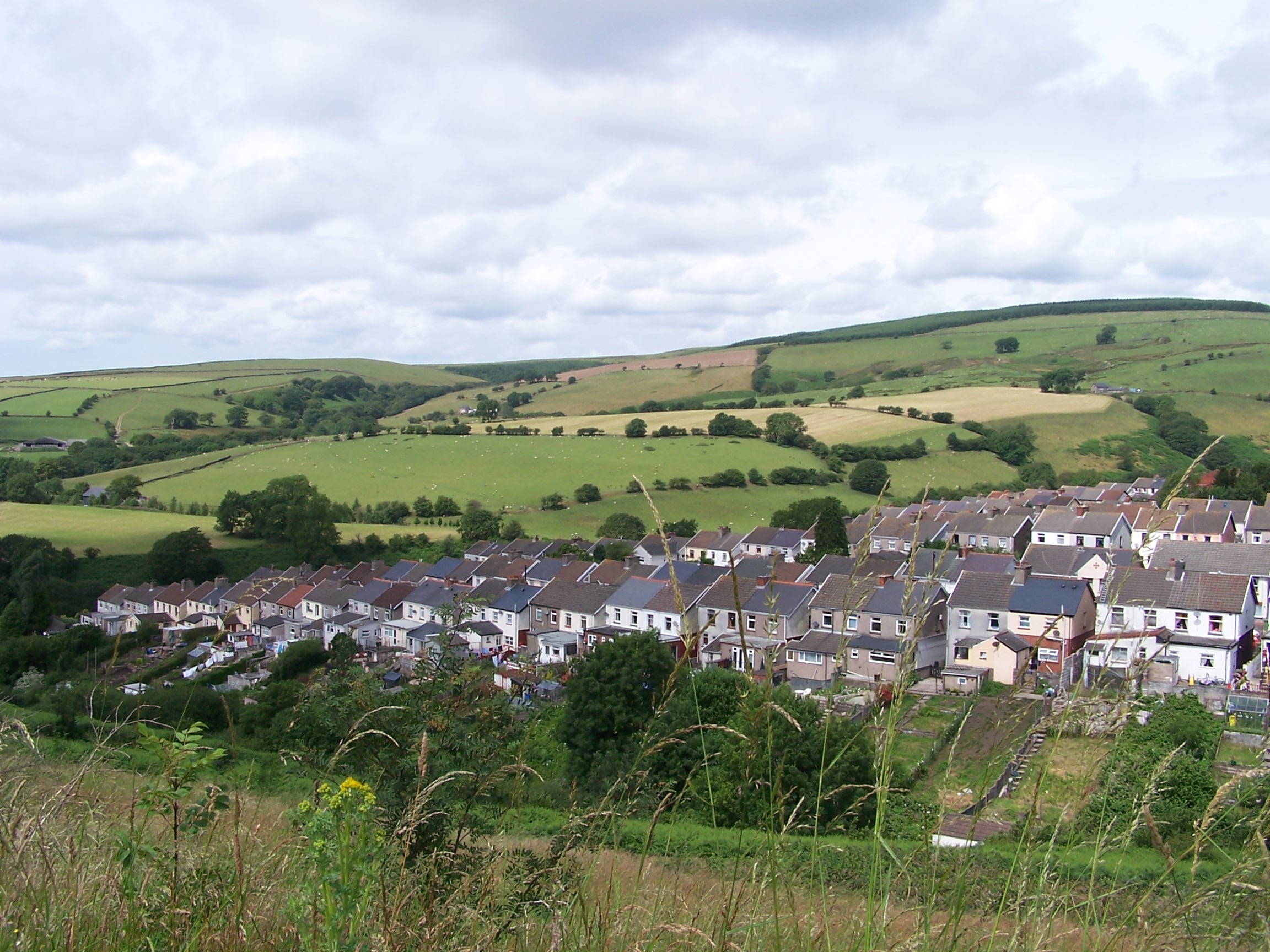
The hill/mountain is characterized by its rolling landscape, covered with lush green vegetation, including grasses, shrubs, and scattered trees. Its slopes are relatively gentle, making it accessible for leisurely hikes and walks. The summit of Mynydd Maendy provides a vantage point for visitors to admire the picturesque landscapes, with panoramic views stretching as far as the eye can see.
Historically, Mynydd Maendy has played a significant role in the local community. It was once a site for mining activities, with traces of old mine shafts still visible today. The area is also home to several ancient burial mounds, known as cairns, which date back thousands of years and provide insight into the region's prehistoric past.
Nature enthusiasts and outdoor adventurers are drawn to Mynydd Maendy for its diverse wildlife. The hill/mountain is home to a variety of bird species, including buzzards, kestrels, and curlews. Additionally, it serves as a habitat for small mammals, such as rabbits and foxes, as well as a range of insects and plant life.
Overall, Mynydd Maendy in Glamorgan offers a captivating combination of natural beauty, historical significance, and recreational opportunities, making it a must-visit destination for both locals and tourists alike.
If you have any feedback on the listing, please let us know in the comments section below.
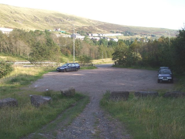
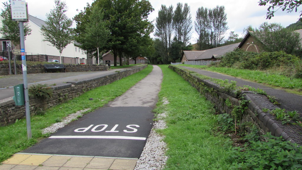
Mynydd Maendy Images
Images are sourced within 2km of 51.595672/-3.4982726 or Grid Reference SS9689. Thanks to Geograph Open Source API. All images are credited.


Mynydd Maendy is located at Grid Ref: SS9689 (Lat: 51.595672, Lng: -3.4982726)
Unitary Authority: Bridgend
Police Authority: South Wales
What 3 Words
///steers.group.eyeliner. Near Gilfach Goch, Rhondda Cynon Taf
Nearby Locations
Related Wikis

Daren y Dimbath
Daren y Dimbath is a Site of Special Scientific Interest in Bridgend, south Wales. == See also == List of Sites of Special Scientific Interest in Mid...
Gilfach Goch railway station
Gilfach Goch railway station served the village of Gilfach Goch, in the historical county of Glamorgan, Wales, from 1881 to 1930 on the Ely Valley Railway...
Gilfach Goch
Gilfach Goch is a community, electoral ward and small former coal mining village mostly in the Borough of Rhondda Cynon Taf, south Wales, near the larger...
Ogmore Vale railway station
Ogmore Vale railway station served the village of Ogmore Vale, in the historical county of Glamorgan, Wales, from 1873 to 1958 on the Ogmore Valley Railway...
Nearby Amenities
Located within 500m of 51.595672,-3.4982726Have you been to Mynydd Maendy?
Leave your review of Mynydd Maendy below (or comments, questions and feedback).