Cefnbychan
Hill, Mountain in Radnorshire
Wales
Cefnbychan
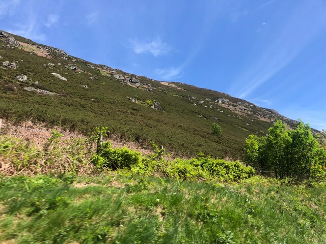
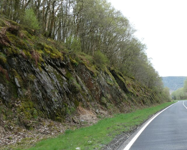
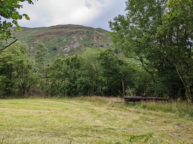
Cefnbychan is a hill located in the county of Radnorshire, Wales. Situated in the heart of the country, it forms part of the expansive landscape of the Cambrian Mountains. With an elevation of approximately 457 meters (1,499 feet), Cefnbychan offers visitors and hikers breathtaking panoramic views of the surrounding valleys and peaks.
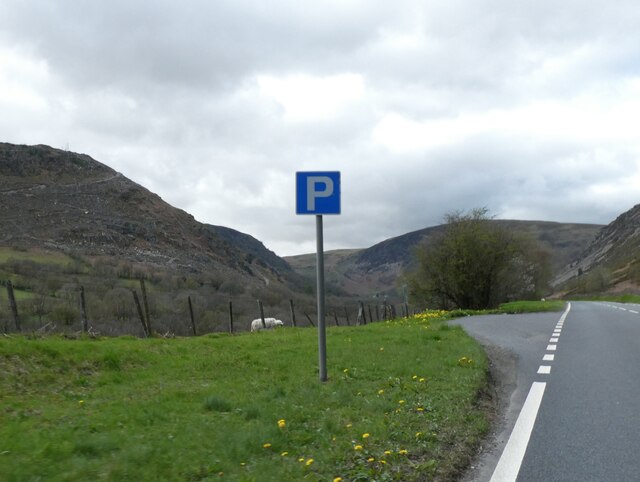
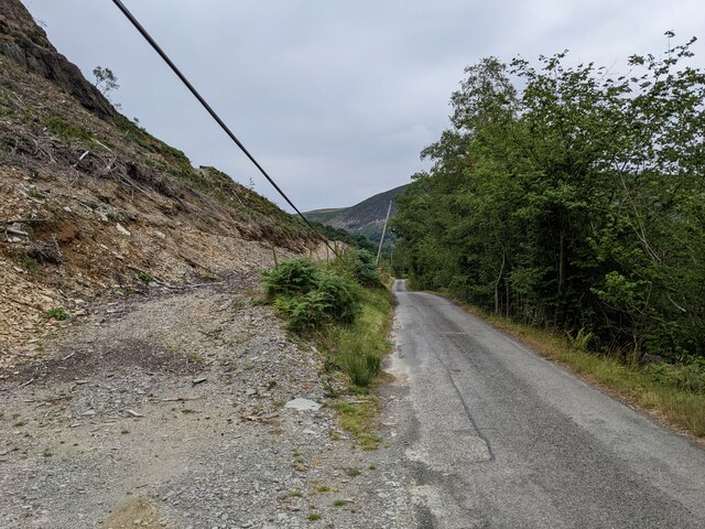
The hill is characterized by its rolling grassy slopes, which are often dotted with sheep grazing peacefully. The terrain is relatively gentle, making it accessible to walkers of varying abilities. The paths that traverse Cefnbychan are well-maintained, allowing for enjoyable and safe hikes.
One of the notable features of Cefnbychan is its rich biodiversity. The hill is home to a variety of plant and animal species, including heather, bilberries, and several species of birds. It is not uncommon to spot buzzards soaring overhead or hear the melodic song of skylarks as you explore the area.
Cefnbychan is a popular spot for nature enthusiasts, offering opportunities for birdwatching, photography, and simply enjoying the tranquility of the countryside. It is also a great location for picnics, with designated areas providing stunning views to accompany your meal.
Overall, Cefnbychan is an idyllic hill in Radnorshire, offering visitors a chance to immerse themselves in the beauty of the Welsh countryside and experience the peacefulness of nature.
If you have any feedback on the listing, please let us know in the comments section below.
Cefnbychan Images
Images are sourced within 2km of 52.318381/-3.5242701 or Grid Reference SN9670. Thanks to Geograph Open Source API. All images are credited.


Cefnbychan is located at Grid Ref: SN9670 (Lat: 52.318381, Lng: -3.5242701)
Unitary Authority: Powys
Police Authority: Dyfed Powys
What 3 Words
///afterglow.thundered.wrist. Near Rhayader, Powys
Nearby Locations
Related Wikis

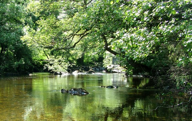
Afon Marteg
The Afon Marteg is a river in Powys, Wales. It is about 15 km long, flowing roughly south-west to join the Wye at Pont Marteg (grid reference SN952714...

Marteg Halt railway station
Marteg Halt railway station was a station to the northwest of Rhayader, Powys, Wales. The station closed in 1962. == References == == Further reading... ==

Rhayader railway station
Rhayader railway station was a station serving the town of Rhayader, Powys, on the Mid Wales Railway line. It was opened in 1864 in Cwmdauddwr, a village...

Rhayader
Rhayader (; Welsh: Rhaeadr Gwy; pronounced [ˈr̥əɪadar ˈɡʊi̯]) is a market town and community in Powys, Wales, within the historic county of Radnorshire...
Nearby Amenities
Located within 500m of 52.318381,-3.5242701Have you been to Cefnbychan?
Leave your review of Cefnbychan below (or comments, questions and feedback).