Brynposteg Hill
Hill, Mountain in Montgomeryshire
Wales
Brynposteg Hill

The requested URL returned error: 429 Too Many Requests
If you have any feedback on the listing, please let us know in the comments section below.
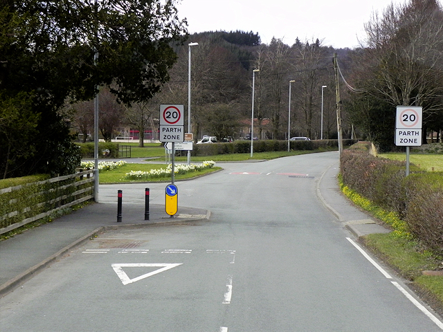
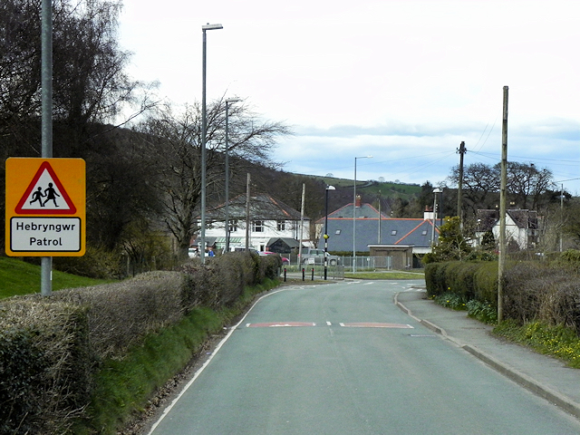
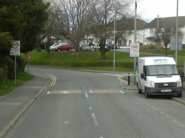
Brynposteg Hill Images
Images are sourced within 2km of 52.428465/-3.5306253 or Grid Reference SN9682. Thanks to Geograph Open Source API. All images are credited.
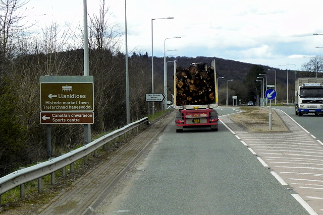
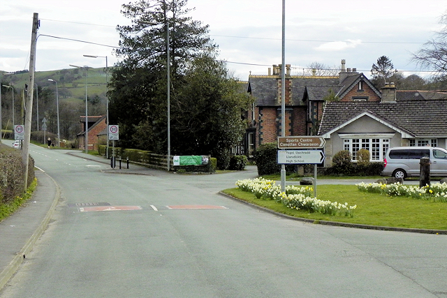
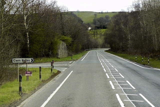
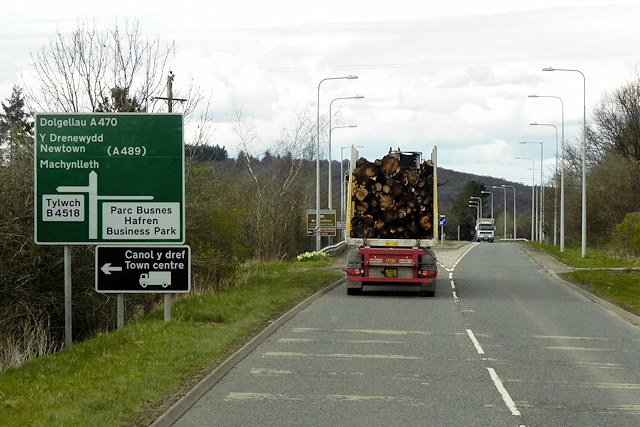
![The road to Llanidloes Heading north-east near Maesiocyn / Maes-socyn [spelling varies according to source].](https://s1.geograph.org.uk/geophotos/05/02/77/5027793_477fa107.jpg)


Brynposteg Hill is located at Grid Ref: SN9682 (Lat: 52.428465, Lng: -3.5306253)
Unitary Authority: Powys
Police Authority: Dyfed Powys
What 3 Words
///outreach.smothered.torches. Near Llanidloes, Powys
Nearby Locations
Related Wikis

Llanidloes High School
Llanidloes High School is a state secondary school and sixth form in Llanidloes, Powys. The school had 564 pupils on roll in 2016. It is an English-medium...
Tylwch
Tylwch is a small village in Powys, Wales. Tylwch lies south of the principal town of Llanidloes on the border of Montgomeryshire and Radnorshire. It lies...

Afon Dulas, Llanidloes
The Afon Dulas is a river in Powys, Wales (Afon is Welsh for river). It is a headwater tributary of the River Severn, which it joins at Llanidloes opposite...
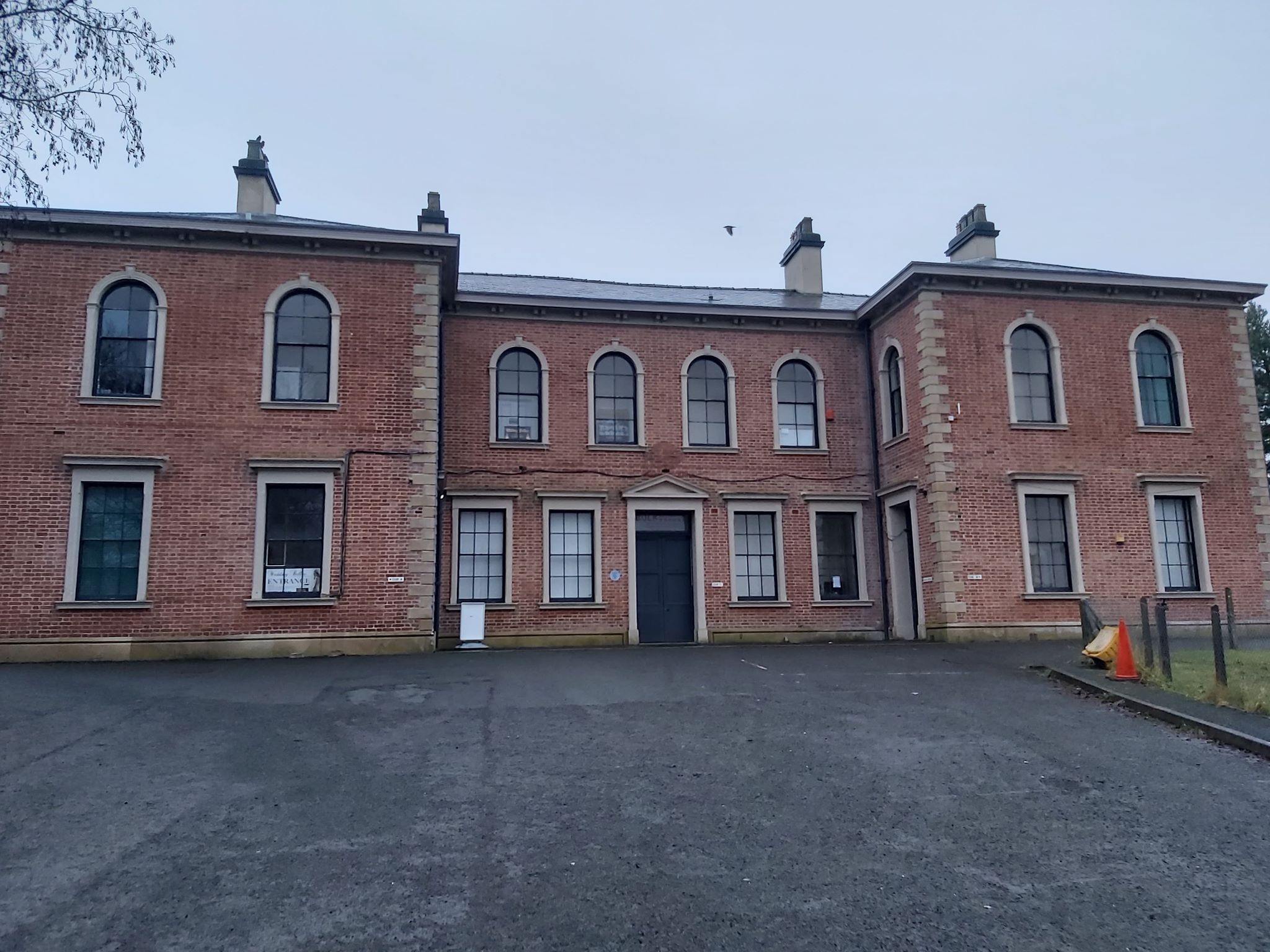
Llanidloes railway station
Llanidloes railway station is a former junction railway station in Llanidloes, Powys, Wales. The Cambrian Railways, which completed the building in 1864...
Nearby Amenities
Located within 500m of 52.428465,-3.5306253Have you been to Brynposteg Hill?
Leave your review of Brynposteg Hill below (or comments, questions and feedback).