Hopedale
Settlement in Staffordshire Staffordshire Moorlands
England
Hopedale
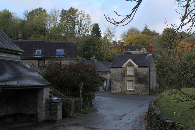
Hopedale is a small village located in the county of Staffordshire, England. Situated in the West Midlands region, it is part of the district of Lichfield. Hopedale covers an area of approximately 3 square miles and has a population of around 1,500 residents.
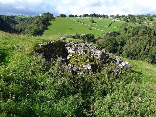
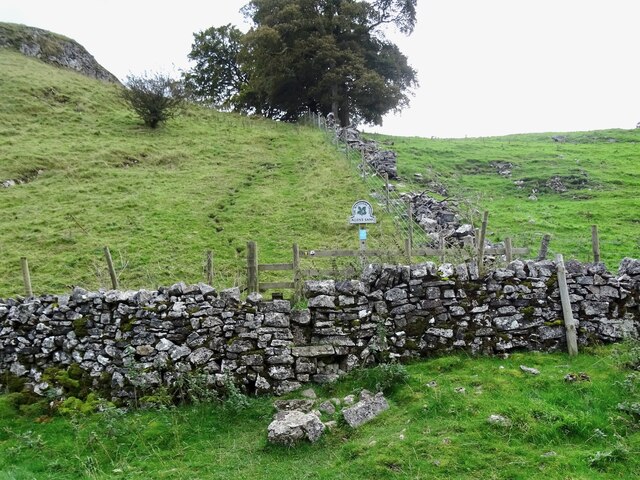
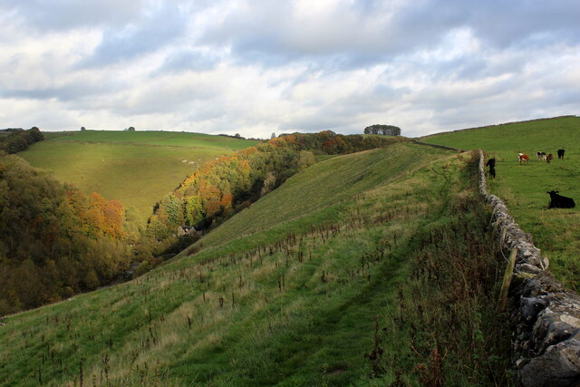
The village is characterized by its picturesque countryside setting, with rolling hills and lush green fields surrounding the area. Hopedale is nestled between two larger towns, Lichfield and Burton upon Trent, which provide convenient access to various amenities and services.
Hopedale has a rich history dating back centuries, with evidence of human habitation in the area since the Neolithic period. The village was primarily an agricultural community, with farming playing a significant role in the local economy. However, in recent years, there has been a shift towards a more diverse economy, with the establishment of small businesses and the growth of the service sector.
Despite its small size, Hopedale offers a range of amenities to its residents. These include a primary school, a community center, a local pub, and a few shops catering to daily needs. The village also has a strong sense of community, with various events and activities organized throughout the year.
For outdoor enthusiasts, Hopedale provides ample opportunities for recreation and leisure. The surrounding countryside offers beautiful walking trails, cycling routes, and scenic picnic spots. Additionally, the nearby Cannock Chase Area of Outstanding Natural Beauty is a popular destination for nature lovers and wildlife enthusiasts.
Overall, Hopedale is a charming village that offers a peaceful and idyllic lifestyle, with a strong community spirit and access to the natural beauty of the Staffordshire countryside.
If you have any feedback on the listing, please let us know in the comments section below.
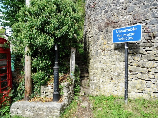
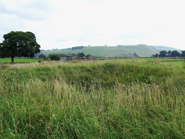
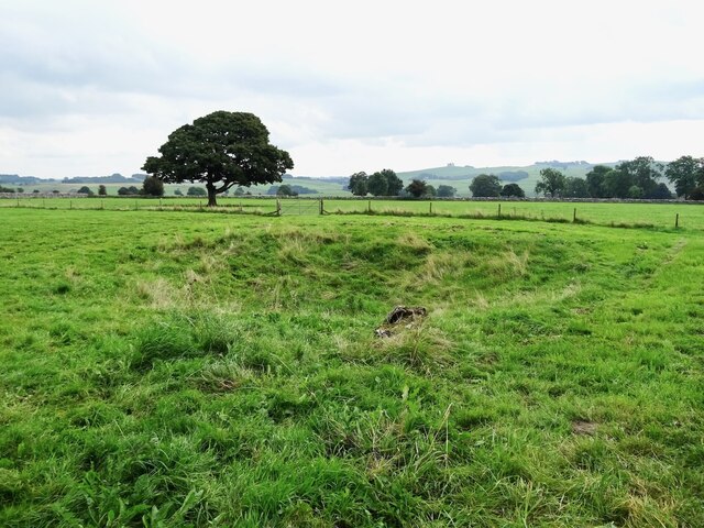
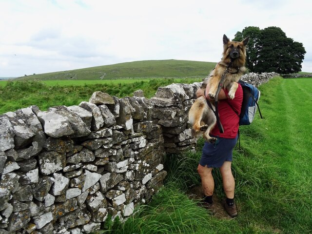
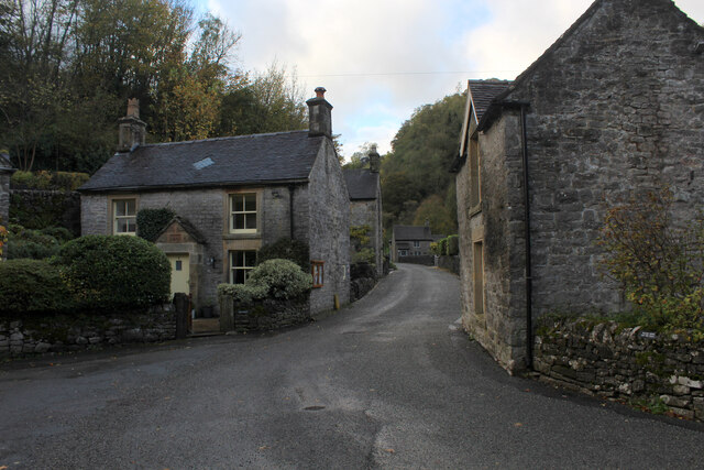
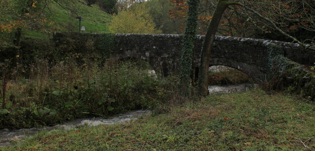
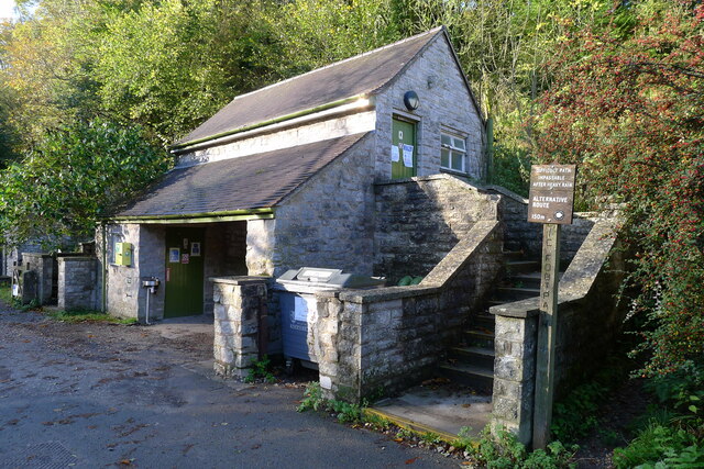
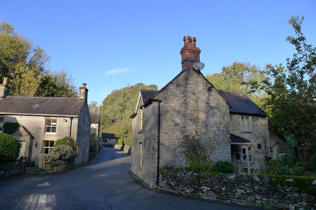
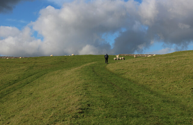
Hopedale Images
Images are sourced within 2km of 53.091421/-1.816002 or Grid Reference SK1254. Thanks to Geograph Open Source API. All images are credited.


Hopedale is located at Grid Ref: SK1254 (Lat: 53.091421, Lng: -1.816002)
Administrative County: Staffordshire
District: Staffordshire Moorlands
Police Authority: Staffordshire
What 3 Words
///violinist.cared.distract. Near Newhaven, Derbyshire
Related Wikis

Alstonefield
Alstonefield (alternative spelling: Alstonfield) is a village and civil parish in the Peak District National Park and the Staffordshire Moorlands district...

St Peter's Church, Alstonefield
The Church of St Peter in Alstonefield, Staffordshire Moorlands, England is a grade I listed Anglican parish church. The oldest parts are 12th century...

Long Low, Wetton
Long Low is a Neolithic and Bronze Age site in the English county of Staffordshire. It is about 2 km SE of Wetton (grid reference SK122539).It consists...

Wetton, Staffordshire
Wetton is a village in the Peak District National Park, North Staffordshire, at the top of the east side of the Manifold Valley. The population recorded...

Castern Wood
Castern Wood is a nature reserve of the Staffordshire Wildlife Trust. It is an ancient woodland, with scrub and grassland, on the eastern slopes of the...
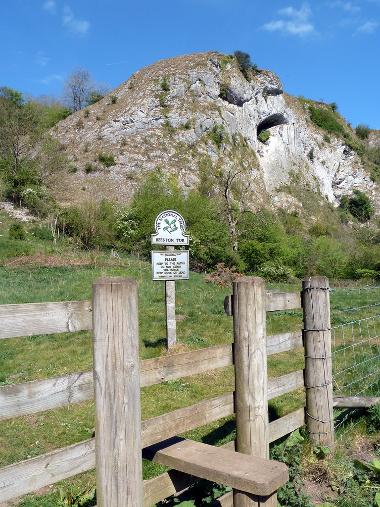
Beeston Tor
Beeston Tor (grid reference SK105540) is a limestone cliff in Staffordshire. It overlooks the confluence of the River Hamps with the River Manifold, and...
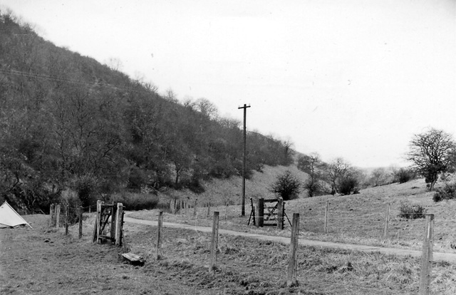
Beeston Tor railway station
Beeston Tor railway station was a minor station which served the Beeston Tor in Grindon, Staffordshire. The site is now part of the Manifold Way. ��2...
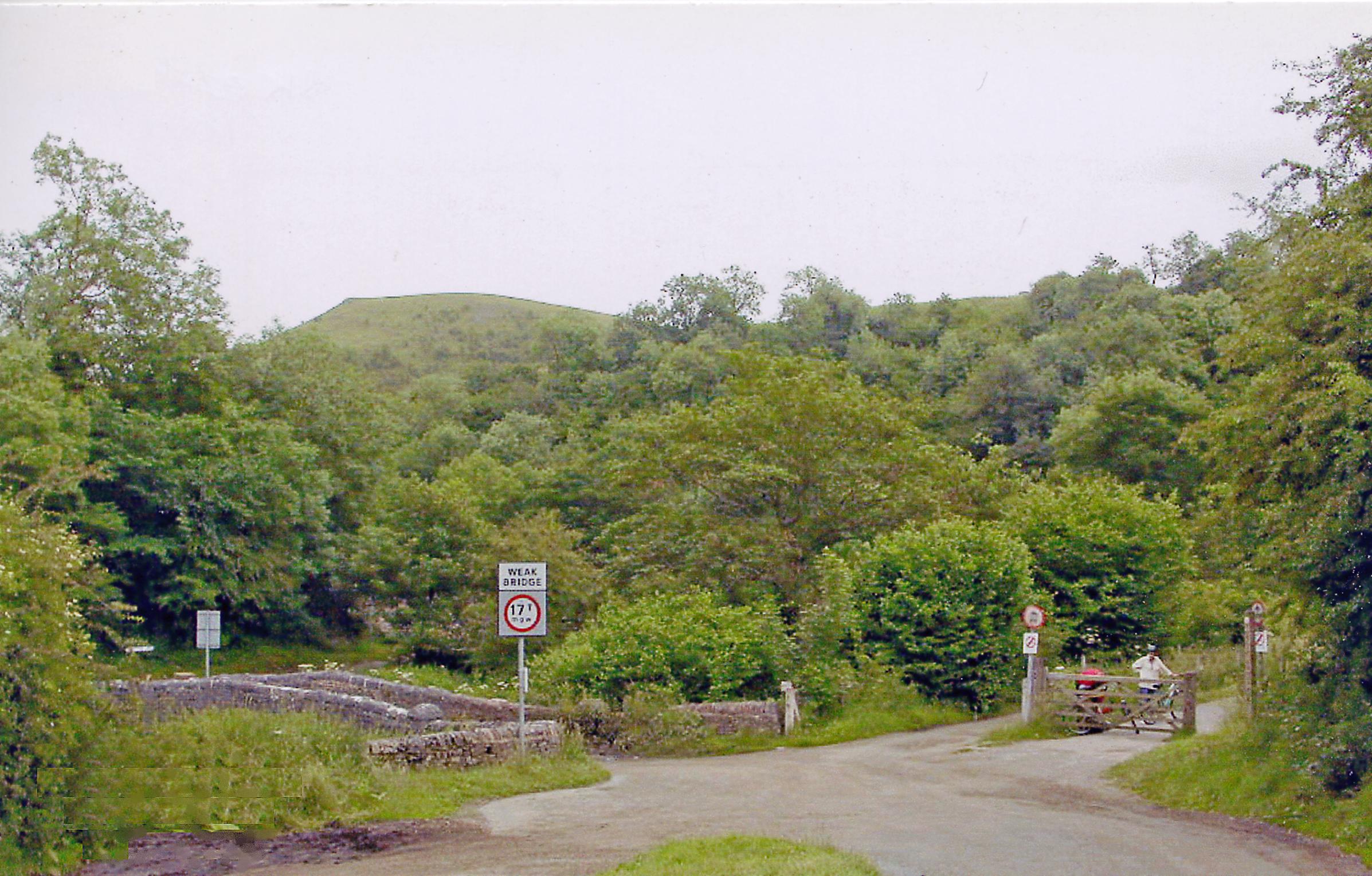
Grindon railway station
Grindon railway station was a station on the Leek and Manifold Light Railway. It served the village of Grindon in Staffordshire. The site is now part of...
Nearby Amenities
Located within 500m of 53.091421,-1.816002Have you been to Hopedale?
Leave your review of Hopedale below (or comments, questions and feedback).