Yr Wylorn
Hill, Mountain in Radnorshire
Wales
Yr Wylorn
The requested URL returned error: 429 Too Many Requests
If you have any feedback on the listing, please let us know in the comments section below.
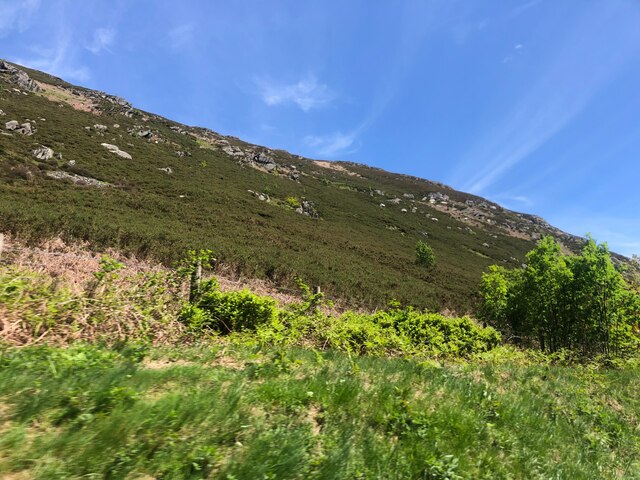
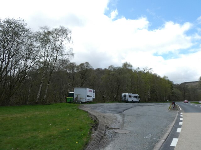
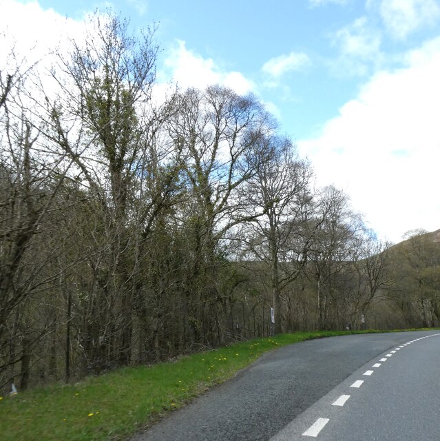
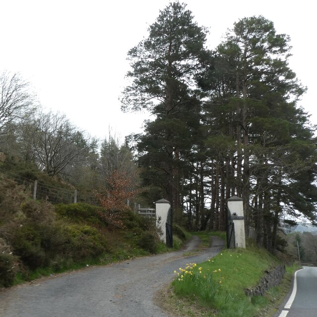
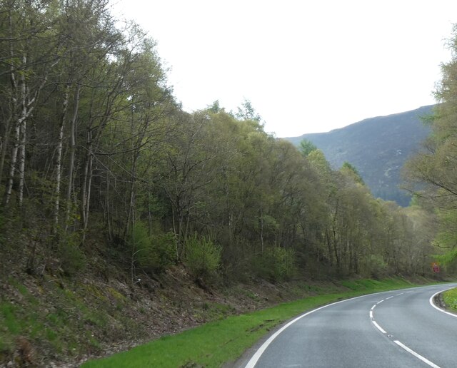
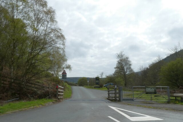
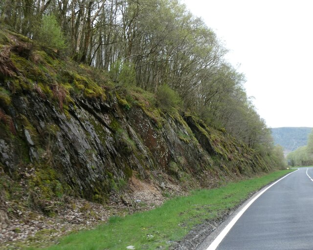
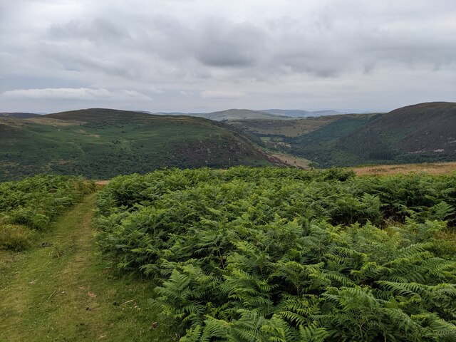
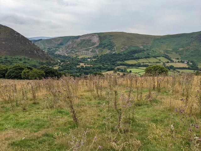
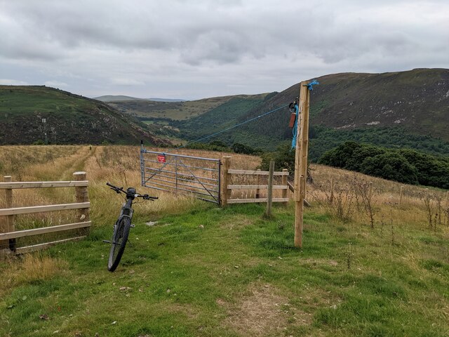
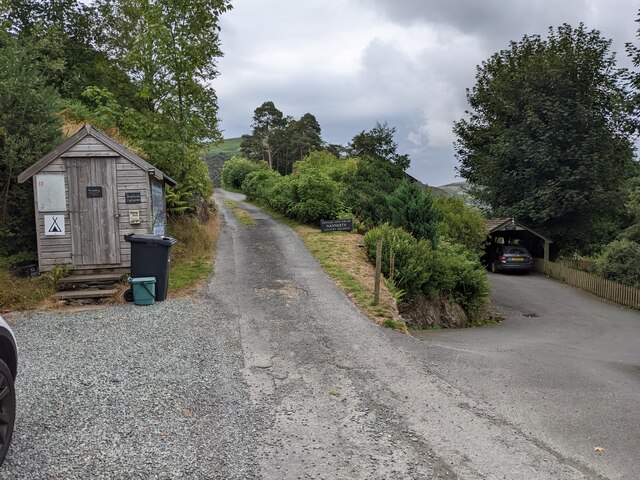
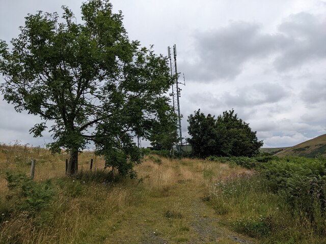
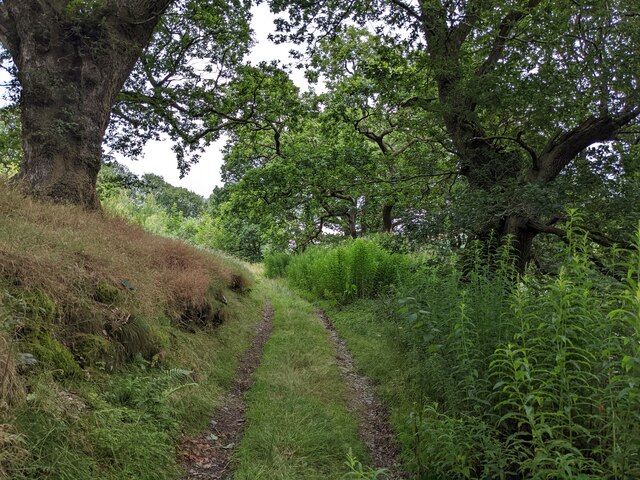
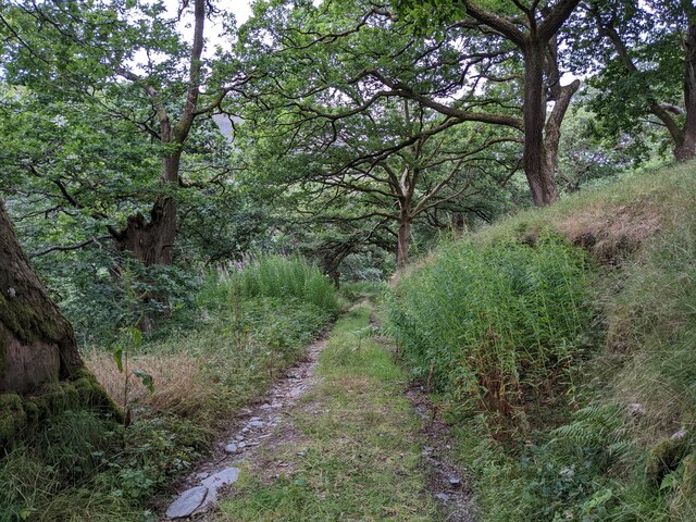
Yr Wylorn Images
Images are sourced within 2km of 52.33983/-3.5280609 or Grid Reference SN9572. Thanks to Geograph Open Source API. All images are credited.


Yr Wylorn is located at Grid Ref: SN9572 (Lat: 52.33983, Lng: -3.5280609)
Unitary Authority: Powys
Police Authority: Dyfed Powys
What 3 Words
///status.stance.tidal. Near Rhayader, Powys
Nearby Locations
Related Wikis

Afon Marteg
The Afon Marteg is a river in Powys, Wales. It is about 15 km long, flowing roughly south-west to join the Wye at Pont Marteg (grid reference SN952714...

Marteg Halt railway station
Marteg Halt railway station was a station to the northwest of Rhayader, Powys, Wales. The station closed in 1962. == References == == Further reading... ==
Garreg Lwyd (Rhayader)
Garreg Lwyd is a hill in Mid Wales, between the towns of Rhayader and Llangurig. It rises to the east above the A470 as it follows the Wye Valley. The...
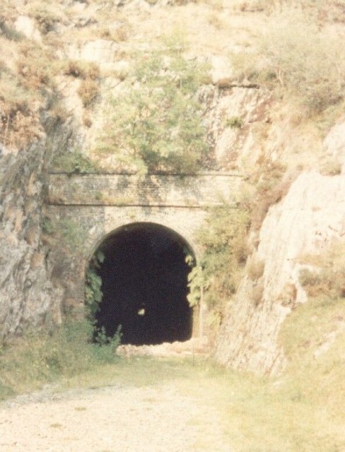
St Harmons railway station
St Harmons railway station was a station in St Harmon, Powys, Wales. The station opened in 1872 and closed in 1962. == References == == Further reading... ==
Have you been to Yr Wylorn?
Leave your review of Yr Wylorn below (or comments, questions and feedback).