Nannerth-fawr Wood
Downs, Moorland in Radnorshire
Wales
Nannerth-fawr Wood
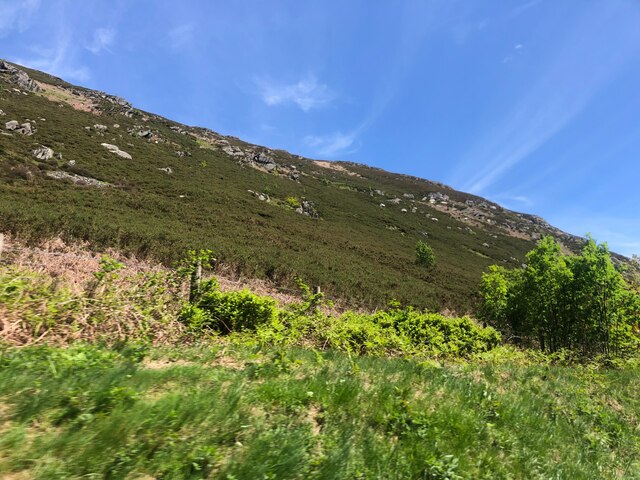
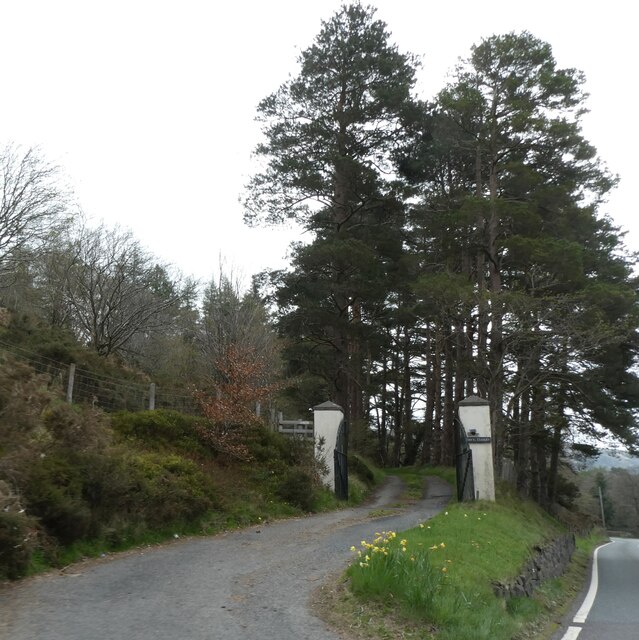
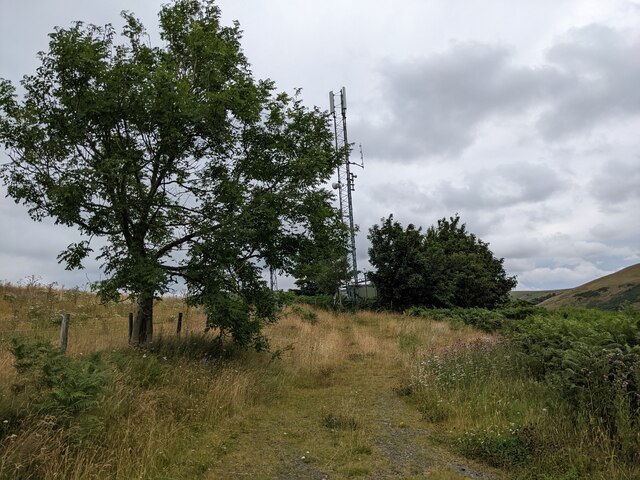
Nannerth-fawr Wood is a picturesque woodland located in Radnorshire, a county in mid-Wales, United Kingdom. Situated amidst the stunning landscape of the Downs and Moorland, this woodland offers a tranquil retreat for nature enthusiasts and hikers alike.
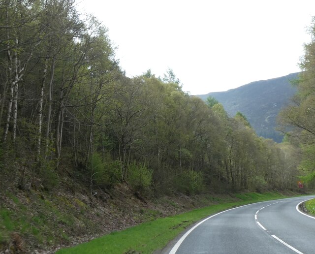
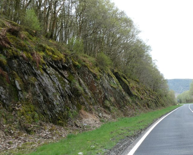
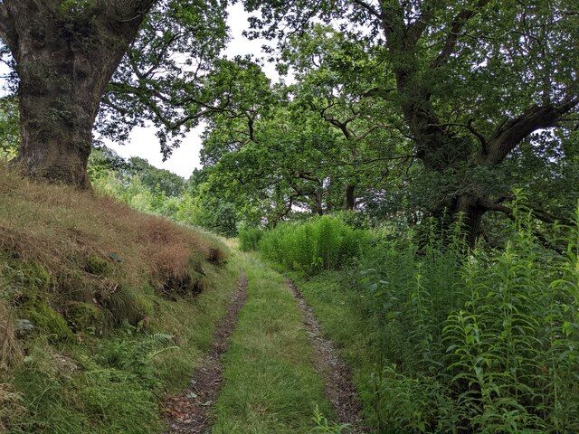
Covering an area of approximately 150 acres, Nannerth-fawr Wood is home to a diverse range of flora and fauna. The woodland is predominantly composed of native broadleaf trees such as oak, beech, and ash, which create a dense canopy and provide habitat for various bird species, including woodpeckers and owls. The forest floor is adorned with a tapestry of wildflowers, making it a delightful sight during spring and summer.
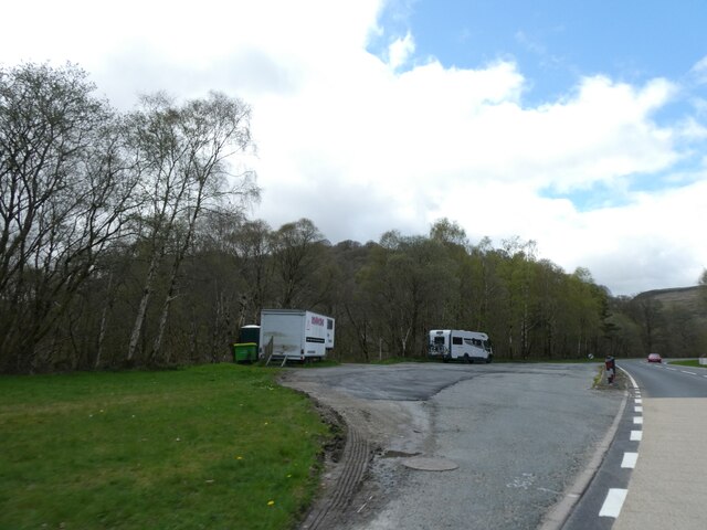
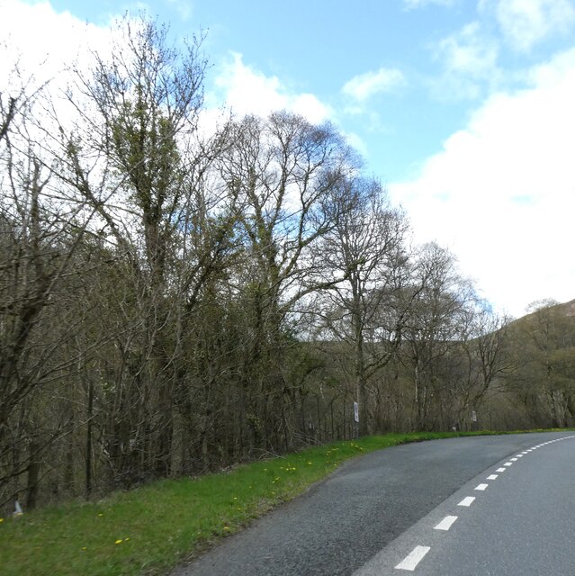
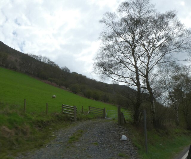
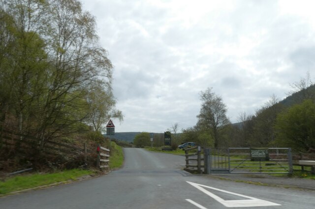
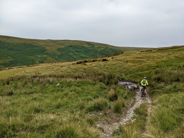
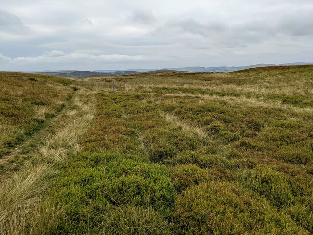
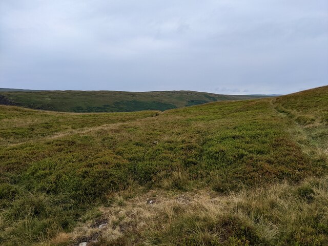
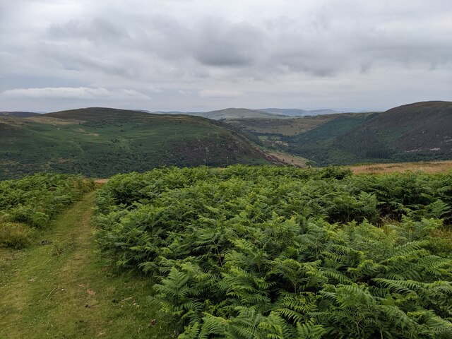
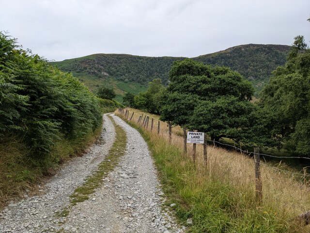
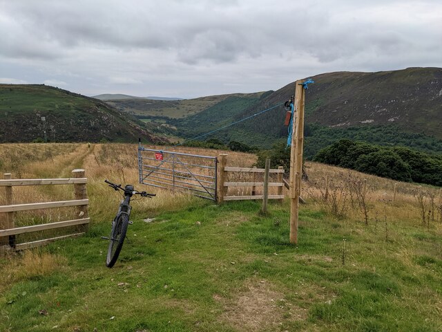
The wood is crisscrossed by a network of footpaths, allowing visitors to explore its beauty at their own pace. The trails lead through meandering paths, gently sloping hills, and babbling brooks. Along the way, visitors can catch glimpses of small mammals like foxes and squirrels or encounter the occasional deer grazing in the clearings.
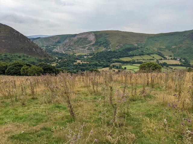
Nannerth-fawr Wood also offers stunning panoramic views of the surrounding countryside. From its vantage points, visitors can marvel at the rolling hills of Radnorshire, dotted with sheep and cattle, stretching out in all directions.
With its serene atmosphere, abundant wildlife, and scenic vistas, Nannerth-fawr Wood is a true gem of Radnorshire. It provides an ideal setting for nature lovers to immerse themselves in the beauty of the Welsh countryside and escape the hustle and bustle of everyday life.
If you have any feedback on the listing, please let us know in the comments section below.
Nannerth-fawr Wood Images
Images are sourced within 2km of 52.337339/-3.5412 or Grid Reference SN9572. Thanks to Geograph Open Source API. All images are credited.
Nannerth-fawr Wood is located at Grid Ref: SN9572 (Lat: 52.337339, Lng: -3.5412)
Unitary Authority: Powys
Police Authority: Dyfed Powys
What 3 Words
///surcharge.proved.gravest. Near Rhayader, Powys
Nearby Locations
Related Wikis

Afon Marteg
The Afon Marteg is a river in Powys, Wales. It is about 15 km long, flowing roughly south-west to join the Wye at Pont Marteg (grid reference SN952714...

Marteg Halt railway station
Marteg Halt railway station was a station to the northwest of Rhayader, Powys, Wales. The station closed in 1962. == References == == Further reading... ==
Garreg Lwyd (Rhayader)
Garreg Lwyd is a hill in Mid Wales, between the towns of Rhayader and Llangurig. It rises to the east above the A470 as it follows the Wye Valley. The...
St Harmons railway station
St Harmons railway station was a station in St Harmon, Powys, Wales. The station opened in 1872 and closed in 1962. == References == == Further reading... ==
Nearby Amenities
Located within 500m of 52.337339,-3.5412Have you been to Nannerth-fawr Wood?
Leave your review of Nannerth-fawr Wood below (or comments, questions and feedback).