Banister's Park
Settlement in Hampshire
England
Banister's Park

Banister's Park is a picturesque park located in the city of Southampton, Hampshire, England. Spanning an area of around 18 acres, the park offers a tranquil and green oasis amidst the bustling cityscape. It is named after the Banister family, who donated the land to the city in the late 19th century.
The park boasts a diverse range of features that cater to various recreational activities. Visitors can enjoy leisurely strolls along the well-maintained paths that wind through the park, surrounded by lush greenery and beautiful flowerbeds. There are several open spaces within the park, providing ample room for picnics, games, or simply relaxing in the sun.
For the more active visitors, there is a well-equipped children's playground, complete with swings, slides, and climbing frames, ensuring that younger visitors have plenty of opportunities for fun and play. The park also offers a tennis court and a basketball court, providing options for those seeking a more energetic pursuit.
Banister's Park is known for its stunning ornamental gardens, which feature a wide variety of plant species and flowers, creating a vibrant and visually appealing display throughout the year. The park also boasts a small pond, attracting various bird species and adding to the overall charm of the surroundings.
The park is easily accessible, with ample parking available nearby, and is a popular destination for locals and tourists alike. Its serene setting, combined with its range of amenities, make Banister's Park a beloved destination for relaxation, recreation, and appreciation of nature in Hampshire.
If you have any feedback on the listing, please let us know in the comments section below.
Banister's Park Images
Images are sourced within 2km of 50.918502/-1.40887 or Grid Reference SU4113. Thanks to Geograph Open Source API. All images are credited.


Banister's Park is located at Grid Ref: SU4113 (Lat: 50.918502, Lng: -1.40887)
Unitary Authority: Southampton
Police Authority: Hampshire
What 3 Words
///tells.fallen.pull. Near Southampton, Hampshire
Nearby Locations
Related Wikis

County Ground, Southampton
The County Ground in Southampton, England, was a cricket and football ground. It was the home of Hampshire County Cricket Club from the 1885 English cricket...
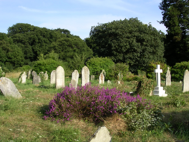
Southampton Old Cemetery
The cemetery has had various titles including The Cemetery by the Common, Hill Lane Cemetery and is currently known as Southampton Old Cemetery. An Act...

Avenue St Andrew's United Reformed Church
Avenue St. Andrew's is a United Reformed Church in Southampton, England. Part of the church building is Grade II listed. == History == === Above Bar... ===
St Anne's Catholic School, Southampton
St Anne's Catholic School is an 11-18 secondary school in Southampton, England, for girls. The school's sixth form is coeducational. The school is situated...
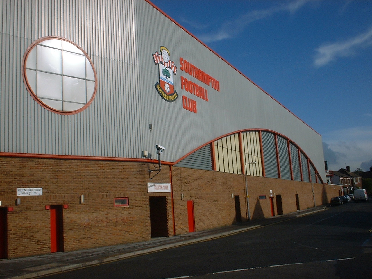
The Dell (Southampton)
The Dell on Milton Road, Southampton, Hampshire, England was the home ground of Southampton F.C. between 1898 and 2001. == New stadium == Since 1896, Southampton...

St Edmund's Church, Southampton
St Edmund's Church is a Roman Catholic parish church in Southampton, Hampshire. It is situated on the corner of The Avenue and Rockstone Place. It was...

Rockstone Place Park
Rockstone Place Park or Little Mongers Park is a formal park in Southampton, United Kingdom. The park is next to the Southampton and New Forest Magistrates...
Unity 101
Unity 101 (previously known as Unity 24) is a community radio station based in Southampton, England, a voluntary organisation catering to the Asian and...
Nearby Amenities
Located within 500m of 50.918502,-1.40887Have you been to Banister's Park?
Leave your review of Banister's Park below (or comments, questions and feedback).