Hope End Green

Settlement in Essex Uttlesford

England

Hope End Green

Road junction between Brickkiln Spring and Canfield Hart These are each the names of woods nearby. The B183 runs across ahead in the shot.
Road junction between Brickkiln Spring and Canfield Hart Credit: Trevor Harris

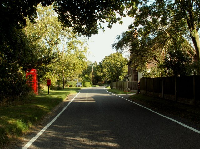
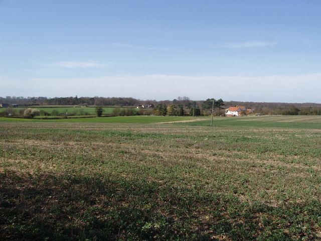
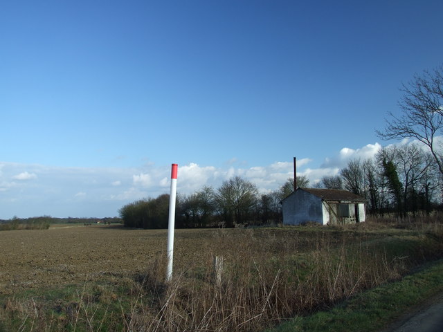
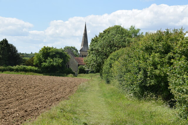
Hope End Green is a small village located in the county of Essex, in the eastern part of England. Situated in the Harlow district, it is nestled amidst the beautiful and picturesque countryside of the region. The village is renowned for its tranquility and natural surroundings, making it a popular destination for those seeking a peaceful retreat from the hustle and bustle of city life.

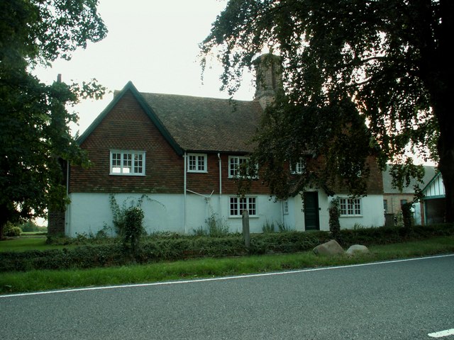
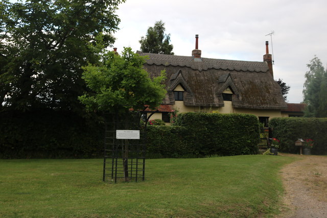
The main feature of Hope End Green is its charming village green, a well-maintained open space that serves as the heart of the community. The green is surrounded by quaint cottages and houses, giving it a traditional and idyllic feel. The local residents take great pride in maintaining the green's beauty and often organize community events and gatherings there.

Despite its small size, the village offers essential amenities to its residents, including a local pub, a primary school, and a village hall. Additionally, the surrounding area provides ample opportunities for outdoor activities such as walking, cycling, and horse riding, thanks to the numerous footpaths and bridleways that crisscross the countryside.

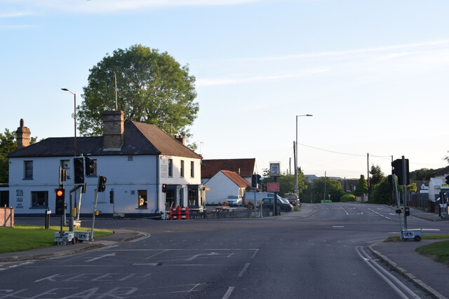
Hope End Green is well-connected to the nearby towns and cities, with good road links to Harlow and the M11 motorway. The village is also served by regular bus services, providing easy access to the wider region.

In summary, Hope End Green offers a peaceful and picturesque setting, making it an attractive location for those seeking a tranquil lifestyle amidst the stunning Essex countryside.

If you have any feedback on the listing, please let us know in the comments section below.

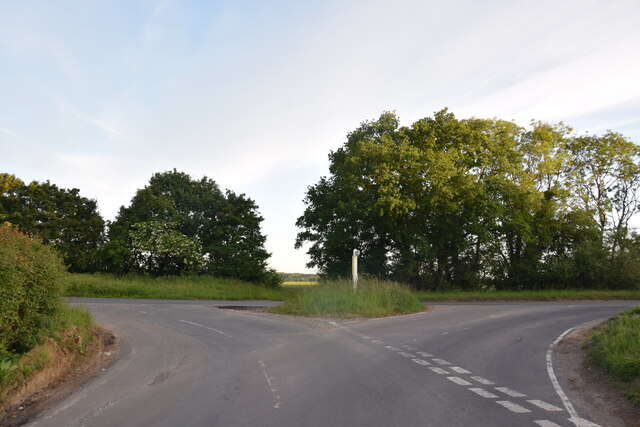
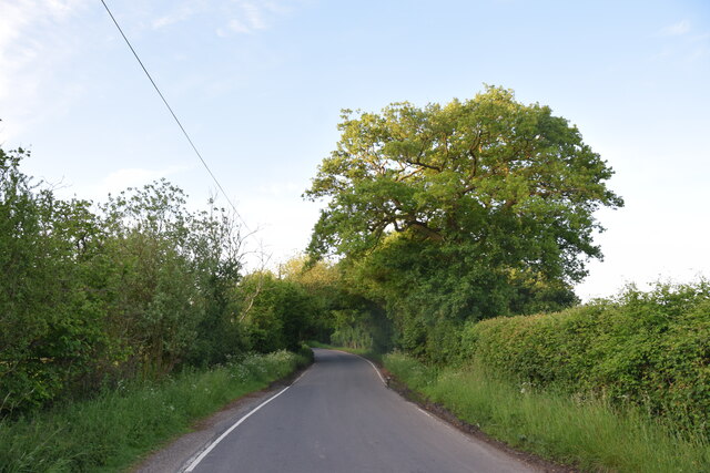
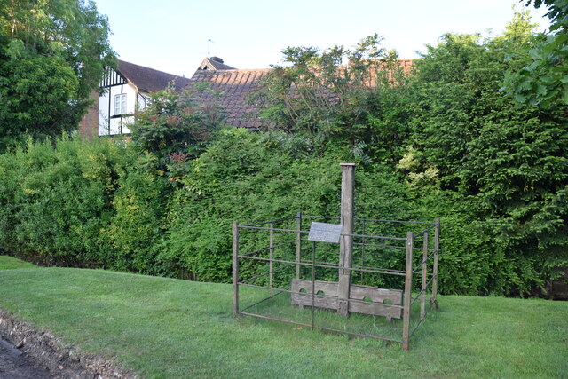
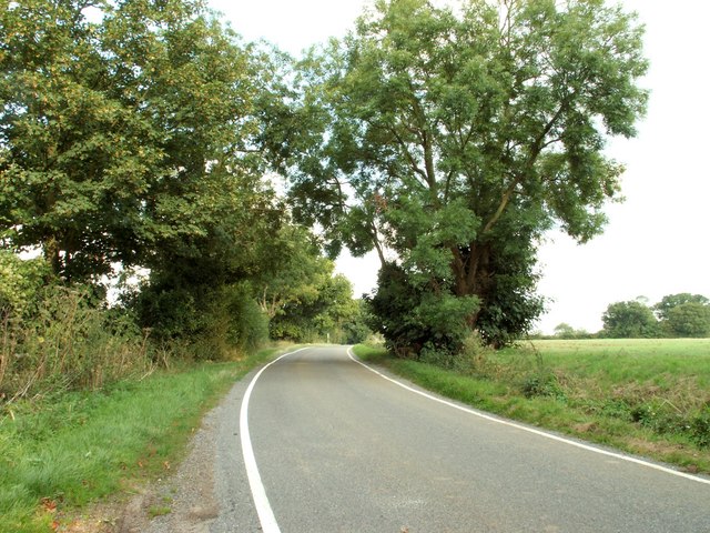
Hope End Green Images

Images are sourced within 2km of 51.858678/0.279927 or Grid Reference TL5720. Thanks to Geograph Open Source API. All images are credited.

Road junction between Brickkiln Spring and Canfield Hart These are each the names of woods nearby. The B183 runs across ahead in the shot.
Road junction between Brickkiln Spring and Canfield Hart
These are each the names of woods nearby. The B183 runs across ahead in the shot.
Lane to Great Canfield
Gruesome relic at Hellman's Cross On the south side of the crossroad are these stocks and whipping post. The information plaque on the fencing reads: "These stocks were replaced by the Parish Council to commemorate the millennium 2000AD. The whipping post was also restored. Last recorded use of the stocks was in 1860 for a case of drunkenness. This is also the site where Elizabeth Abbot of Helmans, Great Canfield was burnt as a witch in 1683."
Gruesome relic at Hellman's Cross
On the south side of the crossroad are these stocks and whipping post. The information plaque on the fencing reads: "These stocks were replaced by the Parish Council to commemorate the millennium 2000AD. The whipping post was also restored. Last recorded use of the stocks was in 1860 for a case of drunkenness. This is also the site where Elizabeth Abbot of Helmans, Great Canfield was burnt as a witch in 1683."
Country road near Great Canfield, Essex
Peckers farmhouse, near Hellman's Cross, Essex Hellman's Cross is close to Great Canfield. The road in the photo is Green Street.
Peckers farmhouse, near Hellman's Cross, Essex
Hellman's Cross is close to Great Canfield. The road in the photo is Green Street.
Green Street, Hellman's Cross, near Great Canfield, Essex
Copt Hall Cottage near Little Canfield, Essex This is the view from Highcross Lane.
Copt Hall Cottage near Little Canfield, Essex
This is the view from Highcross Lane.
Watch out- there's an airport about! Looking across this Essex farming landscape, it's difficult to believe that on the horizon is one of the busiest airports in Britain.  This is a view towards Little Barrington Hall and beyond that Hatfield Forest which is a National Trust countryside park.  If BAA get their way and Stansted Airport is tripled in size over the next 15 years, then areas like this will disappear under concrete and sprawling buildings disfigure the landscape.
Watch out- there's an airport about!
Looking across this Essex farming landscape, it's difficult to believe that on the horizon is one of the busiest airports in Britain. This is a view towards Little Barrington Hall and beyond that Hatfield Forest which is a National Trust countryside park. If BAA get their way and Stansted Airport is tripled in size over the next 15 years, then areas like this will disappear under concrete and sprawling buildings disfigure the landscape.
Hatfield Regis Grange
Water Tower, near Puttock's End Water tower number Canfield 151, just off the B183.
Water Tower, near Puttock's End
Water tower number Canfield 151, just off the B183.
Road Junction, near Puttock's End The road to the left to Great Canfield is on National Route 50 for cyclists, and the road ahead leads to Taverners Green.
Road Junction, near Puttock's End
The road to the left to Great Canfield is on National Route 50 for cyclists, and the road ahead leads to Taverners Green.
Pond by Peckers Farm, Great Canfield
Derelict Building, South of Puttock's End The pole in the foreground, shows where a gas pipeline runs.
Derelict Building, South of Puttock's End
The pole in the foreground, shows where a gas pipeline runs.
Field by the B183, Bush End
Green Street, Hellman's Cross
Thatched house on Green Street, Hellman's Cross
Crossroads in Takeley The public house on the corner is The Four Ashes.
Crossroads in Takeley
The public house on the corner is The Four Ashes.
Approaching Little Canfield Church On the path from High Cross Villas with All Saints Church ahead.
Approaching Little Canfield Church
On the path from High Cross Villas with All Saints Church ahead.
Show me another place!

Hope End Green is located at Grid Ref: TL5720 (Lat: 51.858678, Lng: 0.279927)

Administrative County: Essex

District: Uttlesford

Police Authority: Essex

What 3 Words

///tiptoes.fire.conductor. Near Takeley, Essex

Nearby Locations

Hope End Green

Related Wikis

Takeley F.C.

Takeley Football Club is an English football club based in Takeley, Essex. The club are currently members of the Essex Senior League and play at Station...

Takeley railway station

Takeley railway station was a station serving the Hockerill area of Takeley in Bishop's Stortford, England. The station was 5 miles 11 chains (8.27 km...

Takeley

Takeley is a village and civil parish in the Uttlesford district of Essex, England. == History == A number of theories have arisen over the origin of the...

Takeley Priory

Takeley Priory, dedicated to Saint Valery, was a Benedictine monastery in Takeley, Essex, England, founded by William the Conqueror between 1066 and 1086...

Nearby Amenities

Located within 500m of 51.858678,0.279927
Hope End Green
Place: hamlet
Lat/Long: 51.8603798/0.2801476
Puttock's End
Place: hamlet
Lat/Long: 51.85537/0.2774259
The data included in this document is from www.openstreetmap.org. The data is made available under ODbL.

Have you been to Hope End Green?

Leave your review of Hope End Green below (or comments, questions and feedback).