Hope Bowdler
Settlement in Shropshire
England
Hope Bowdler

Hope Bowdler is a small village located in the picturesque county of Shropshire, England. Situated in the southwestern part of the county, it lies within the beautiful Shropshire Hills Area of Outstanding Natural Beauty. With a population of around 150 residents, Hope Bowdler is a closely-knit community that exudes a charming and tranquil atmosphere.
The village is surrounded by rolling hills, lush green fields, and woodland, making it a haven for nature lovers and outdoor enthusiasts. It offers breathtaking views of the Long Mynd, a prominent hill within the region, and is a popular destination for hikers, walkers, and cyclists. The Shropshire Way, a long-distance footpath, passes nearby, providing access to stunning landscapes and diverse wildlife.
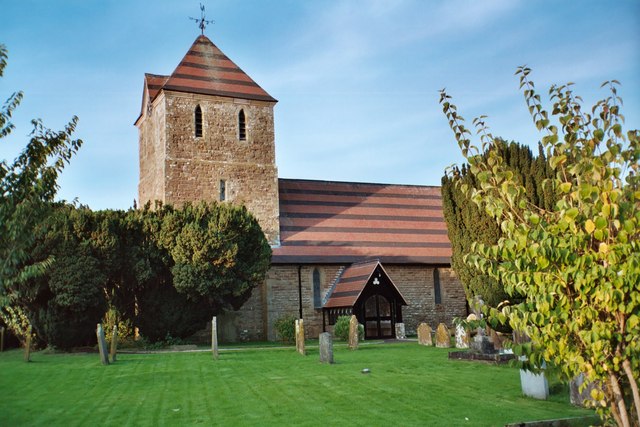
Hope Bowdler is known for its traditional architecture, with many houses dating back several centuries. The village church, St. Andrew's, is a prominent landmark, showcasing Norman and Medieval architectural elements. The churchyard is a peaceful spot for reflection and offers a glimpse into the village's rich history.
While it may be small in size, Hope Bowdler has a strong sense of community spirit. The village organizes various events throughout the year, including fêtes, fundraisers, and social gatherings, bringing residents together and fostering a sense of belonging.
Overall, Hope Bowdler offers a tranquil retreat from the hustle and bustle of modern life. With its stunning natural surroundings, historical charm, and tight-knit community, it is a hidden gem in the heart of Shropshire.
If you have any feedback on the listing, please let us know in the comments section below.
Hope Bowdler Images
Images are sourced within 2km of 52.527098/-2.775586 or Grid Reference SO4792. Thanks to Geograph Open Source API. All images are credited.


Hope Bowdler is located at Grid Ref: SO4792 (Lat: 52.527098, Lng: -2.775586)
Unitary Authority: Shropshire
Police Authority: West Mercia
What 3 Words
///kiosk.twinge.sprain. Near Church Stretton, Shropshire
Nearby Locations
Related Wikis
Hope Bowdler
Hope Bowdler is a small village and civil parish in Shropshire, England. It is situated on the B4371, 1.5 miles (2.4 km) east of the market town of Church...
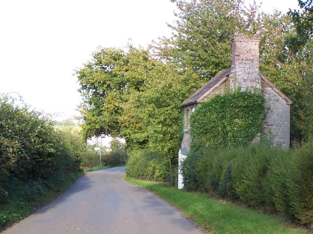
Birtley, Shropshire
Birtley is a hamlet in Shropshire, England. It is situated a short distance to the west of the village of Ticklerton, in countryside to the south-east...
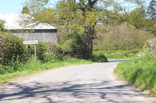
Ticklerton
Ticklerton is a small village in Shropshire, England. It is situated in countryside to the south-east of the market town of Church Stretton. The village...
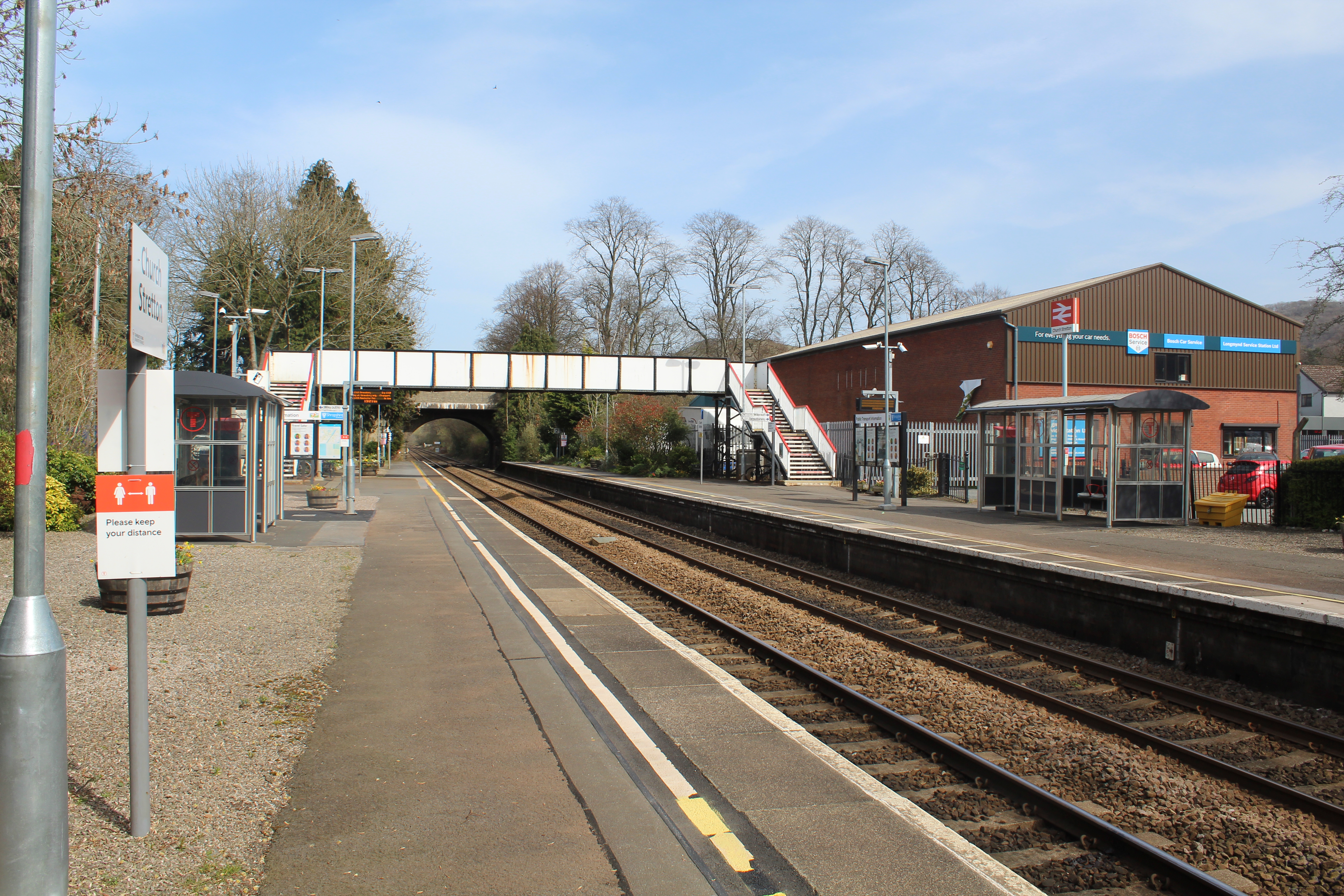
Church Stretton railway station
Church Stretton railway station is a railway station serving the town of Church Stretton in Shropshire, England on the Welsh Marches Line, 12+3⁄4 miles...
Nearby Amenities
Located within 500m of 52.527098,-2.775586Have you been to Hope Bowdler?
Leave your review of Hope Bowdler below (or comments, questions and feedback).