Swaites Hill
Hill, Mountain in Lanarkshire
Scotland
Swaites Hill

The requested URL returned error: 429 Too Many Requests
If you have any feedback on the listing, please let us know in the comments section below.
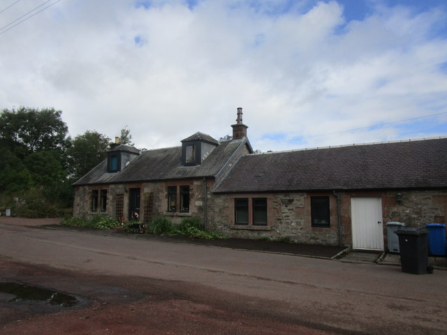
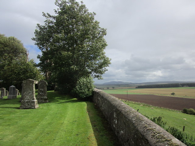
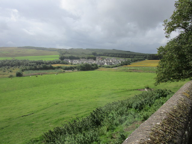
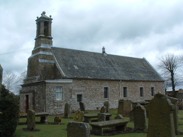
Swaites Hill Images
Images are sourced within 2km of 55.654599/-3.667574 or Grid Reference NS9541. Thanks to Geograph Open Source API. All images are credited.


Swaites Hill is located at Grid Ref: NS9541 (Lat: 55.654599, Lng: -3.667574)
Unitary Authority: South Lanarkshire
Police Authority: Lanarkshire
What 3 Words
///fancy.origin.houseboat. Near Carnwath, South Lanarkshire
Nearby Locations
Related Wikis
Pettinain
Pettinain is a hamlet and civil parish in South Lanarkshire, Scotland, 7 miles (11 km) east of Lanark. Bartholomew's Gazetteer of the British Isles described...

Carstairs House
Carstairs House, also known as Monteith House, is a country house 1.5 kilometres (0.93 mi) south-west of Carstairs South Lanarkshire, Scotland. The house...

Thankerton
Thankerton is a small village in South Lanarkshire, Scotland, United Kingdom. It is located between Biggar and Lanark, and situated between Quothquan Law...

Thankerton railway station
Thankerton railway station served the village of Thankerton, South Lanarkshire, Scotland, from 1848 to 1965 on the Caledonian main line. == History... ==
Nearby Amenities
Located within 500m of 55.654599,-3.667574Have you been to Swaites Hill?
Leave your review of Swaites Hill below (or comments, questions and feedback).