Arbory Hill
Hill, Mountain in Lanarkshire
Scotland
Arbory Hill
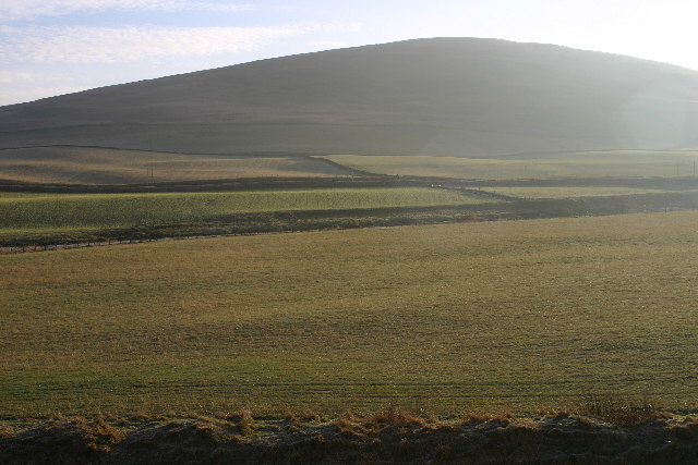
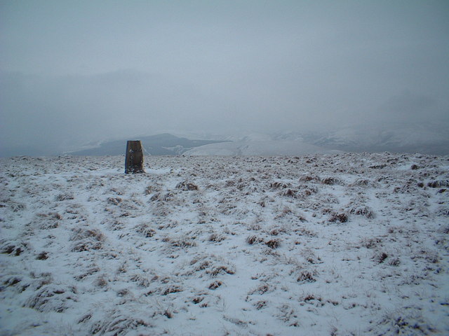
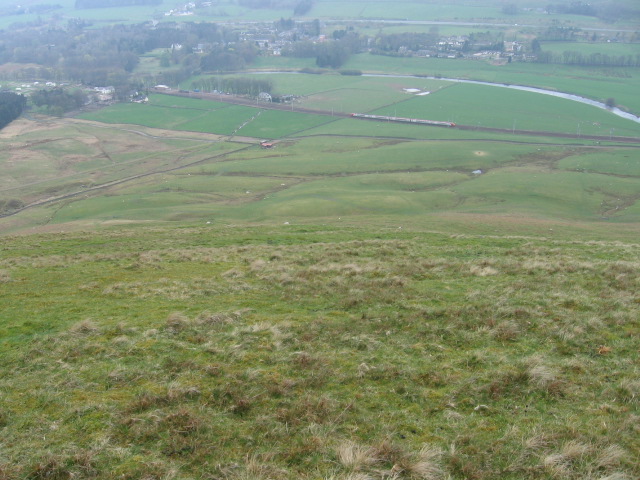
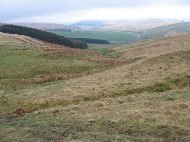
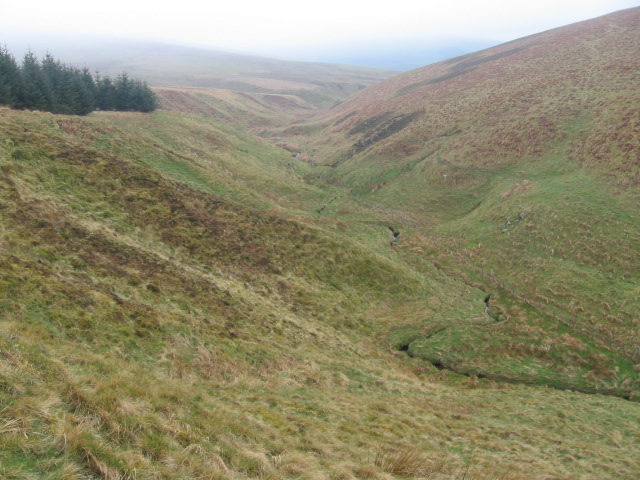
Arbory Hill is a prominent geographical feature located in Lanarkshire, Scotland. Situated in the southern part of the region, it is classified as a hill rather than a mountain due to its elevation of approximately 400 meters (1,312 feet). Despite being of moderate height, Arbory Hill offers stunning panoramic views of the surrounding landscape.
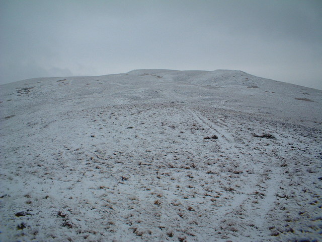
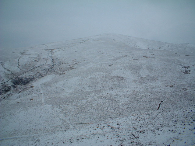
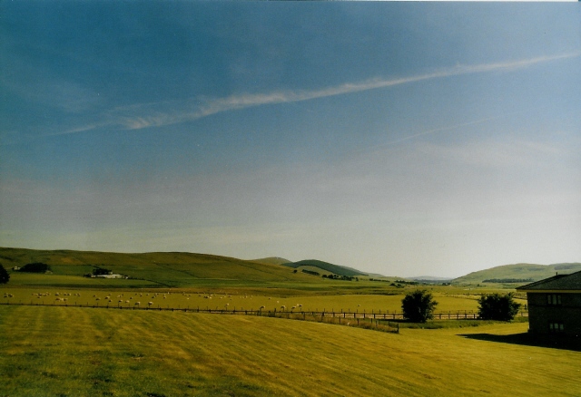
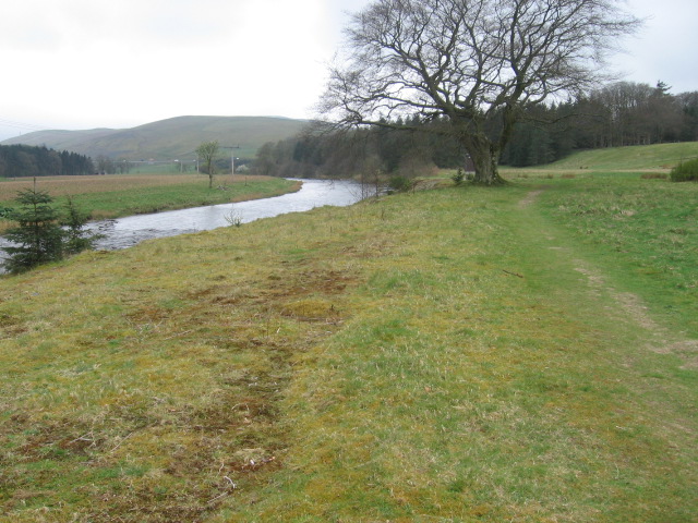
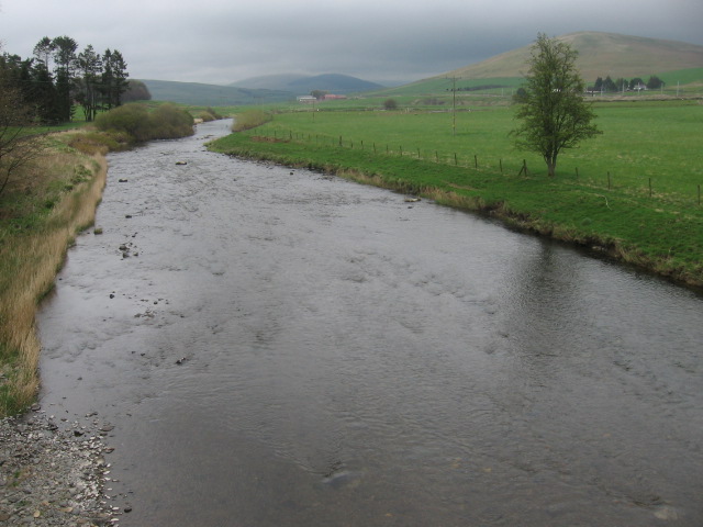
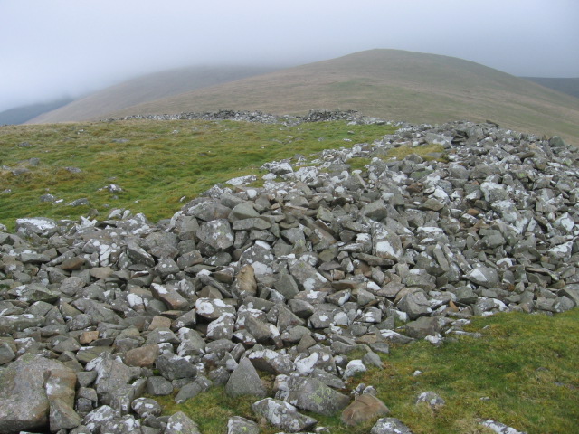
Covered in lush greenery, the hill is characterized by its gently sloping sides and is predominantly composed of sedimentary rock formations. It is part of the larger Southern Uplands range, which extends across southern Scotland and northern England. Arbory Hill stands out due to its distinct shape, with a rounded and smooth summit that makes it easily recognizable in the Lanarkshire skyline.
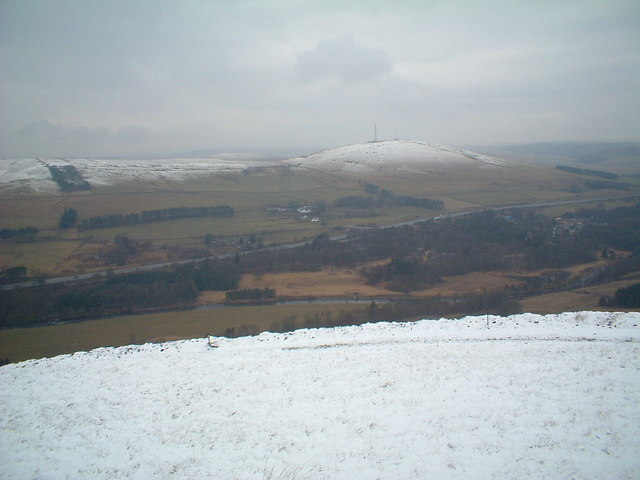
The hill is a popular destination for hikers and nature enthusiasts, attracting visitors from both near and far. A network of well-marked trails provides access to the summit, making it an enjoyable and accessible outdoor activity for people of all fitness levels. While the ascent might be a bit tiring, the reward at the top is well worth it, as the breathtaking views stretch across the surrounding countryside, offering stunning vistas of rolling hills, farmland, and distant towns.
Arbory Hill is also home to diverse flora and fauna, with various plant species thriving on its slopes. It serves as a habitat for several bird species, making it an excellent spot for birdwatching. Additionally, the hill is often used for sheep grazing, contributing to the agricultural landscape of the area.
Overall, Arbory Hill is a picturesque and accessible natural landmark, offering both recreational opportunities and a chance to appreciate the beauty of Lanarkshire's countryside.
If you have any feedback on the listing, please let us know in the comments section below.
Arbory Hill Images
Images are sourced within 2km of 55.496525/-3.6720149 or Grid Reference NS9423. Thanks to Geograph Open Source API. All images are credited.
Arbory Hill is located at Grid Ref: NS9423 (Lat: 55.496525, Lng: -3.6720149)
Unitary Authority: South Lanarkshire
Police Authority: Lanarkshire
What 3 Words
///trail.animates.scale. Near Douglas, South Lanarkshire
Nearby Locations
Related Wikis

Abington railway station
Abington railway station was a station which served Abington, in the Scottish county of South Lanarkshire. It was served by local trains on what is now...

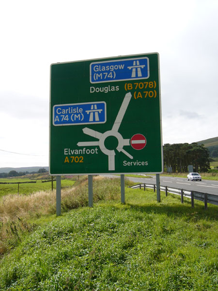
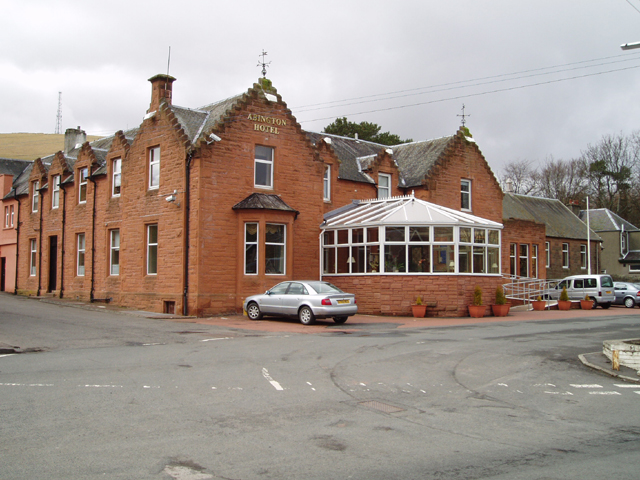
Abington, South Lanarkshire
Abington is a village in the Scottish council region of South Lanarkshire, close to the M74 motorway, marking the point where it changes name to the A74...
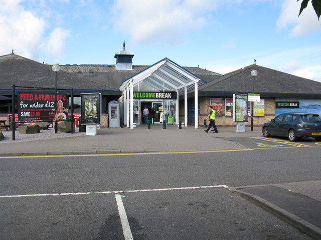
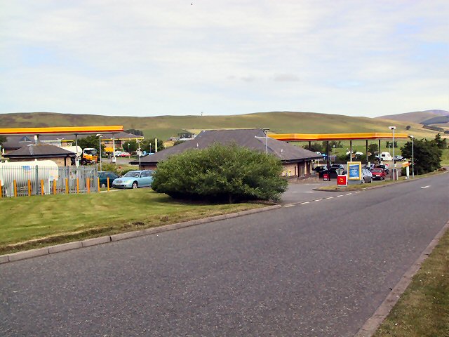
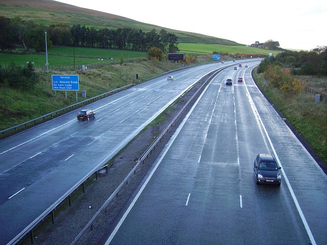
Abington services
Abington services is a motorway service station near the village of Abington, Scotland. The service station is located next to the M74 motorway and is...

Duneaton Water
Duneaton Water is a river in South Lanarkshire, Scotland. It joins the River Clyde at Abington. == References ==

Crawford Castle
Crawford Castle, substantially in ruins, is located on the north bank of the River Clyde, around 1⁄2 mile (800 metres) north of Crawford, South Lanarkshire...

Crawford railway station (Scotland)
Crawford railway station was a station which served the village of Crawford, near Abington, in the Scottish county of South Lanarkshire. It was served...
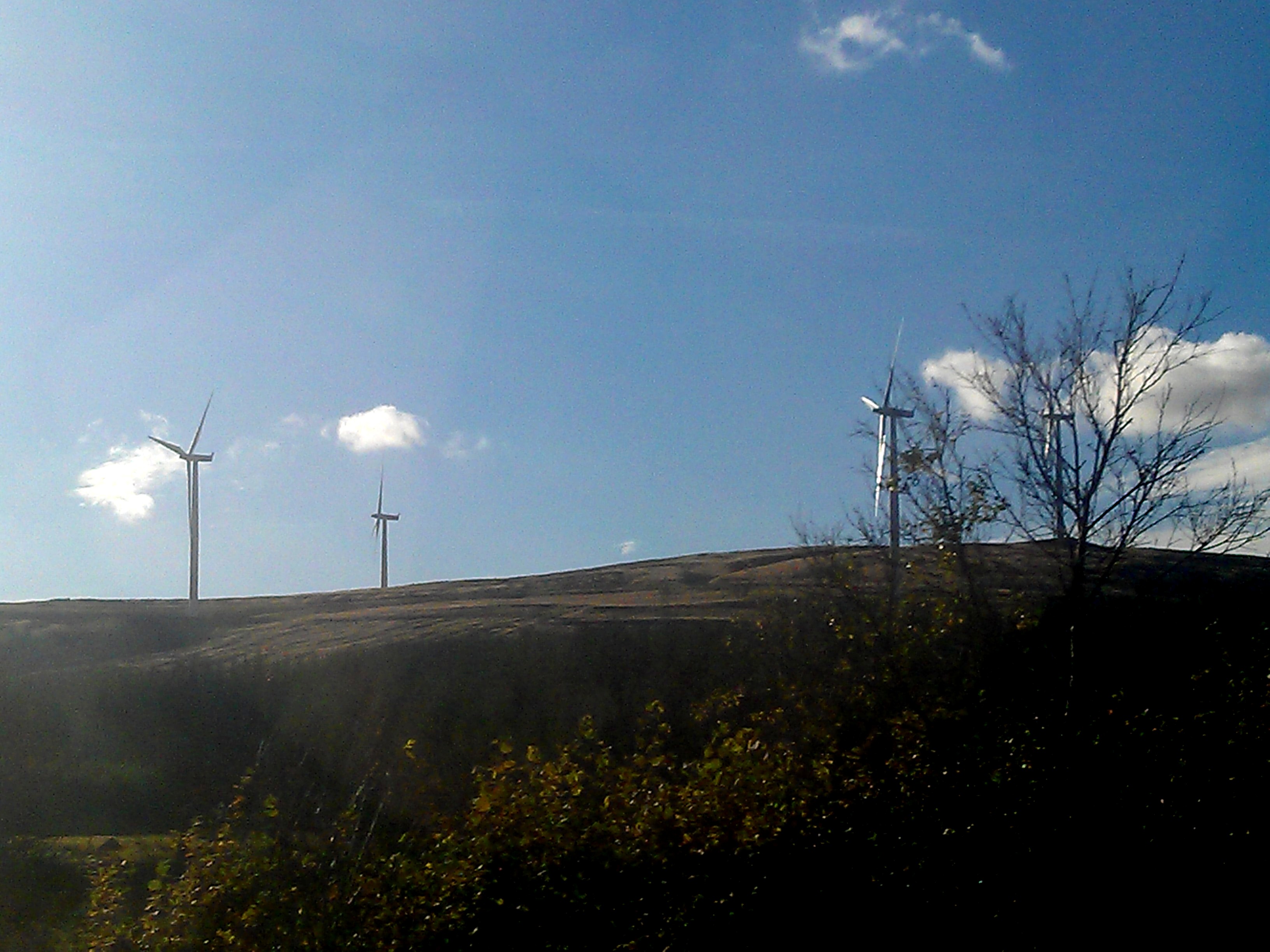
Clyde Wind Farm
The Clyde Wind Farm is a 522 megawatt (MW) wind farm near Abington in South Lanarkshire, Scotland. == Planning == The first stage of the project consists...

Lanark and Hamilton East (UK Parliament constituency)
Lanark and Hamilton East is a county constituency of the House of Commons of the Parliament of the United Kingdom, which was first used at the 2005 general...
Nearby Amenities
Located within 500m of 55.496525,-3.6720149Have you been to Arbory Hill?
Leave your review of Arbory Hill below (or comments, questions and feedback).