Castle Hill
Hill, Mountain in Lanarkshire
Scotland
Castle Hill

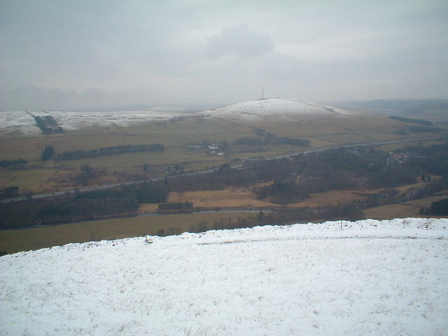
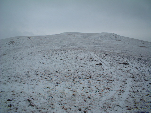
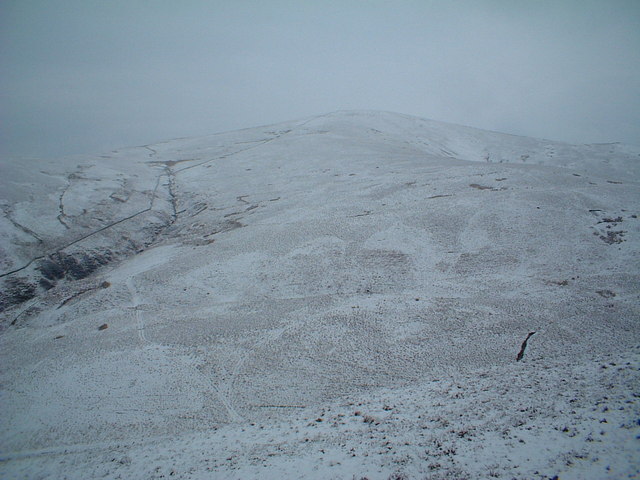
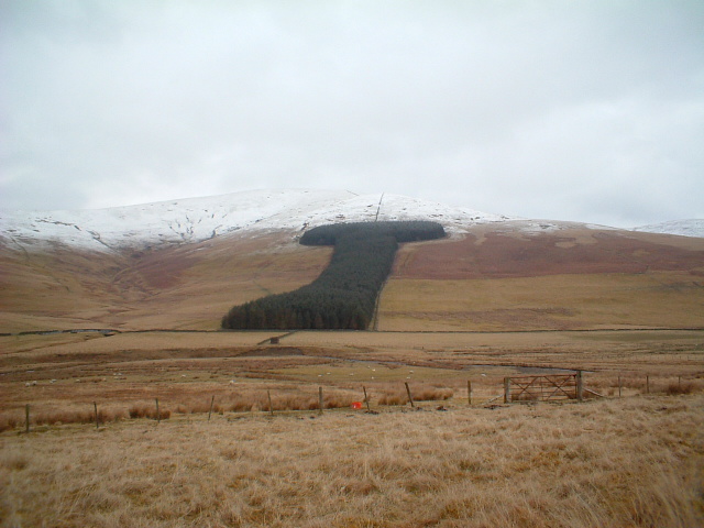
Castle Hill is a prominent landmark located in Lanarkshire, Scotland. Situated near the town of Carluke, the hill is known for its historical and geological significance. Standing at an impressive height of 304 meters (997 feet), it offers breathtaking panoramic views of the surrounding countryside.
The name "Castle Hill" refers to the remnants of an ancient fortification that once stood on the summit. The fort, believed to have been a medieval motte-and-bailey castle, has long since disappeared, but its existence adds to the allure and historical charm of the area.
Geologically, Castle Hill is composed of basalt, a type of volcanic rock that was formed millions of years ago during the Paleogene period. This volcanic activity is evident in the distinctive columnar jointing visible on the hillside, creating a unique and striking natural feature.
Visitors to Castle Hill can explore the area via well-maintained footpaths that wind their way to the summit. The climb can be challenging, but the reward is well worth it, as the panoramic views from the top stretch as far as the eye can see.
Castle Hill is not only a popular destination for hikers and nature enthusiasts but also attracts historians and archaeologists interested in the site's rich history. The area is also home to a variety of flora and fauna, making it a haven for wildlife enthusiasts.
In summary, Castle Hill in Lanarkshire is a remarkable hill and historical site that offers stunning views, geological wonders, and a glimpse into Scotland's past. It is a must-visit destination for anyone exploring the region.
If you have any feedback on the listing, please let us know in the comments section below.
Castle Hill Images
Images are sourced within 2km of 55.483007/-3.6715372 or Grid Reference NS9422. Thanks to Geograph Open Source API. All images are credited.


Castle Hill is located at Grid Ref: NS9422 (Lat: 55.483007, Lng: -3.6715372)
Unitary Authority: South Lanarkshire
Police Authority: Lanarkshire
What 3 Words
///healthier.replaying.weary. Near Douglas, South Lanarkshire
Nearby Locations
Related Wikis

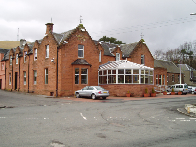
Abington railway station
Abington railway station was a station which served Abington, in the Scottish county of South Lanarkshire. It was served by local trains on what is now...

Crawford Castle
Crawford Castle, substantially in ruins, is located on the north bank of the River Clyde, around 1⁄2 mile (800 metres) north of Crawford, South Lanarkshire...

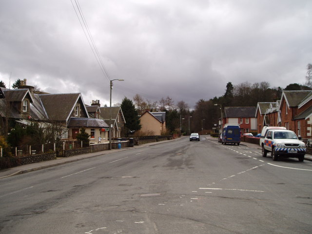
Abington, South Lanarkshire
Abington is a village in the Scottish council region of South Lanarkshire, close to the M74 motorway, marking the point where it changes name to the A74...

Crawford railway station (Scotland)
Crawford railway station was a station which served the village of Crawford, near Abington, in the Scottish county of South Lanarkshire. It was served...
Nearby Amenities
Located within 500m of 55.483007,-3.6715372Have you been to Castle Hill?
Leave your review of Castle Hill below (or comments, questions and feedback).