Great Hill
Hill, Mountain in Devon Exeter
England
Great Hill
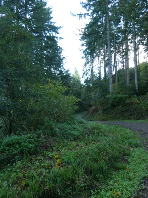
Great Hill is a prominent natural feature located in the county of Devon, England. It is a picturesque hill that stands at an elevation of approximately 500 meters (1,640 feet) above sea level and is part of the Dartmoor National Park. Although referred to as a hill, its size and steepness give it the appearance of a small mountain.
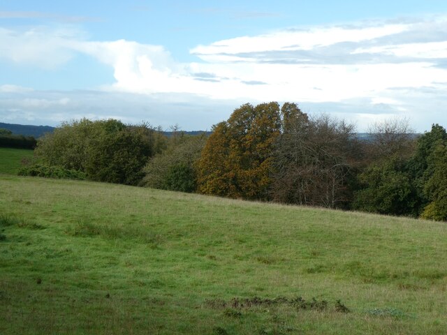
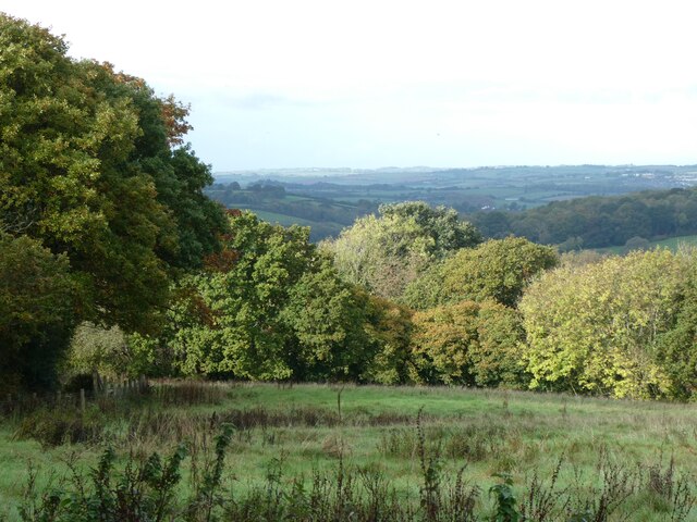
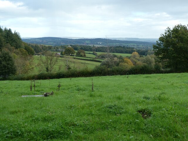
The hill is characterized by its rugged and rocky terrain, covered in a variety of vegetation such as heather, gorse, and grasses. Its summit provides stunning panoramic views of the surrounding landscape, including the rolling hills and valleys of Dartmoor, as well as distant views of the English Channel.
Great Hill is a popular destination for outdoor enthusiasts, hikers, and nature lovers. Many paths and trails crisscross the hill, allowing visitors to explore its unique flora and fauna. The area also offers opportunities for rock climbing and bouldering, attracting adventure seekers and climbers.
The hill has a rich cultural history, with evidence of human habitation dating back thousands of years. Ancient archaeological sites, including stone circles, burial mounds, and hut circles, dot the landscape, providing a glimpse into the region's prehistoric past.
Overall, Great Hill in Devon offers a captivating blend of natural beauty, recreational activities, and historical significance. Its striking vistas, challenging terrain, and cultural heritage make it an ideal destination for those seeking an authentic outdoor experience in the heart of England's countryside.
If you have any feedback on the listing, please let us know in the comments section below.
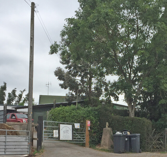
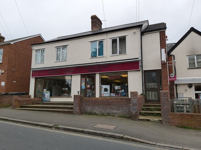
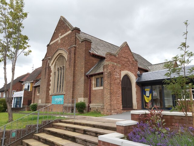
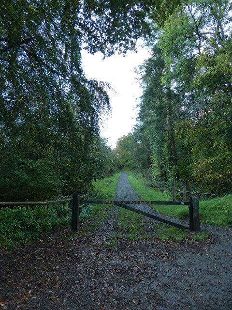
Great Hill Images
Images are sourced within 2km of 50.748221/-3.5069403 or Grid Reference SX9395. Thanks to Geograph Open Source API. All images are credited.


Great Hill is located at Grid Ref: SX9395 (Lat: 50.748221, Lng: -3.5069403)
Administrative County: Devon
District: Exeter
Police Authority: Devon and Cornwall
What 3 Words
///stem.wiser.submit. Near Heavitree, Devon
Nearby Locations
Related Wikis
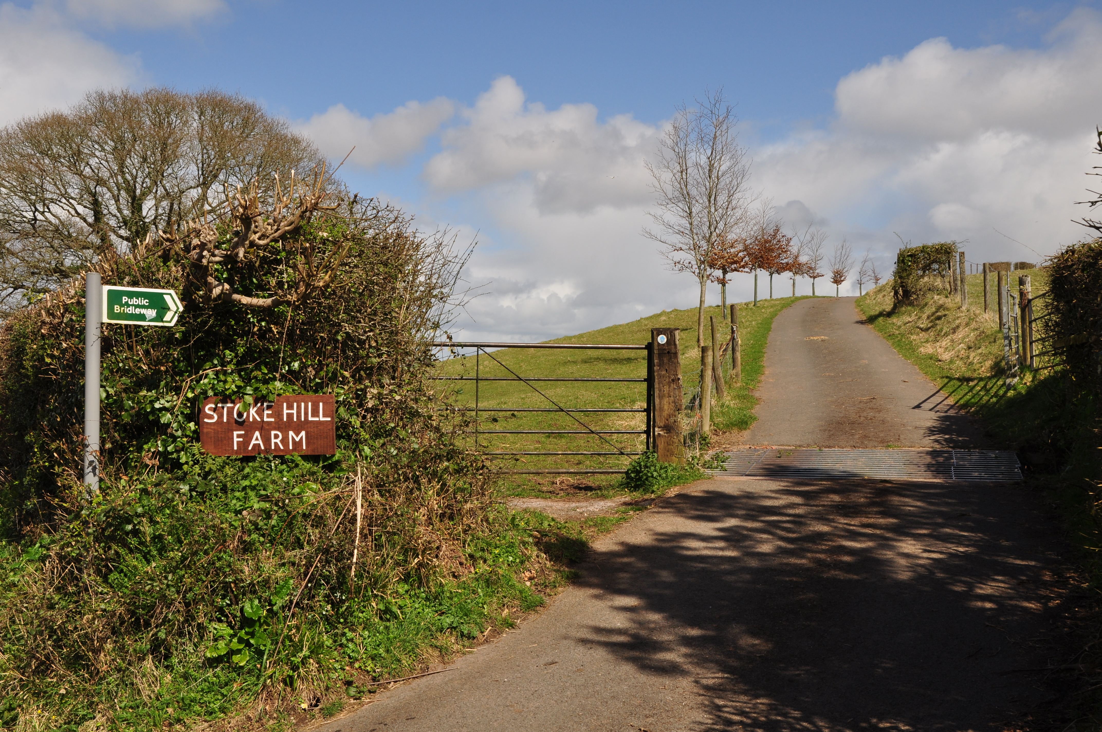
Stoke Hill
Stoke Hill is a large hill rising to the north of Exeter in Devon, England. It is significant as the site of both an Iron Age hill fort and a later Roman...

Polsloe Priory
Polsloe Priory, also known as St Katherine's Priory, was a Benedictine priory for women (a nunnery) in Devon, England. It was founded in around 1159 on...

Exmouth Junction
Exmouth Junction is the railway junction where the Exmouth branch line diverges from the London Waterloo to Exeter main line in Exeter, Devon, England...

Exeter Arena
Exeter Arena, formerly known as the Exhibition Fields, is an outdoor sports complex at Whipton Barton in Exeter, Devon. == History == === Early agricultural... ===

River Culm
The River Culm flows through the Devon Redlands in Devon, England and is the longest tributary of the River Exe. It rises in the Blackdown Hills at a spring...
St James School, Exeter
St James School is a mixed secondary school located in Exeter in the English county of Devon.Previously a foundation school administered by Devon County...

St Sidwells
St Sidwell's is an area east of Exeter city centre in the ward of Newtown. Formerly a village in its own right, St Sidwell's grew in importance along with...
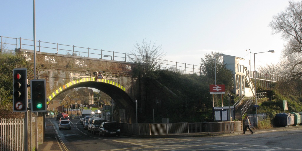
Polsloe Bridge railway station
Polsloe Bridge railway station is a suburban railway station in Exeter, Devon, England. The station serves the Polsloe, Mount Pleasant, Hamlin and Whipton...
Nearby Amenities
Located within 500m of 50.748221,-3.5069403Have you been to Great Hill?
Leave your review of Great Hill below (or comments, questions and feedback).