Stoke Hill

Hill, Mountain in Devon Exeter

England

Stoke Hill

Panorama Trig Point Flush Bracket S3717 <span class="nowrap"><a title="http://trigpointing.uk/trig/5282" rel="nofollow ugc noopener" href="http://trigpointing.uk/trig/5282">Link</a><img style="margin-left:2px;" alt="External link" title="External link - shift click to open in new window" src="https://s1.geograph.org.uk/img/external.png" width="10" height="10"/></span>
Panorama Trig Point Flush Bracket S3717 Credit: thejackrustles

Stoke Hill, located in Devon, England, is a prominent hill that forms part of the beautiful landscape in the region. Rising to an elevation of approximately 238 meters (781 feet), it offers breathtaking views of the surrounding countryside and nearby Exeter city.

Covered in lush green vegetation and dotted with trees, Stoke Hill is a popular destination for outdoor enthusiasts and nature lovers. Its terrain consists of undulating slopes, making it an ideal spot for hiking, walking, and exploring. The hill's well-maintained footpaths allow visitors to navigate through its picturesque landscape easily.

Stoke Hill is known for its diverse wildlife, including various bird species and small mammals that inhabit the area. The hill's natural beauty and tranquility make it a haven for birdwatchers and wildlife enthusiasts.

At the summit of Stoke Hill, there are several areas where visitors can pause and take in the panoramic views. On clear days, one can see the distant rolling hills, the Exe Estuary, and even the coastline in the distance. The hill also provides an excellent vantage point for watching stunning sunsets or capturing breathtaking photographs.

Stoke Hill is easily accessible, with a number of roads and footpaths leading up to its summit. It is a beloved location for both locals and tourists, offering a peaceful retreat from the hustle and bustle of everyday life. Whether one seeks a leisurely stroll or a challenging hike, Stoke Hill provides a memorable experience for all who visit.

If you have any feedback on the listing, please let us know in the comments section below.
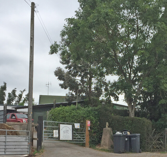
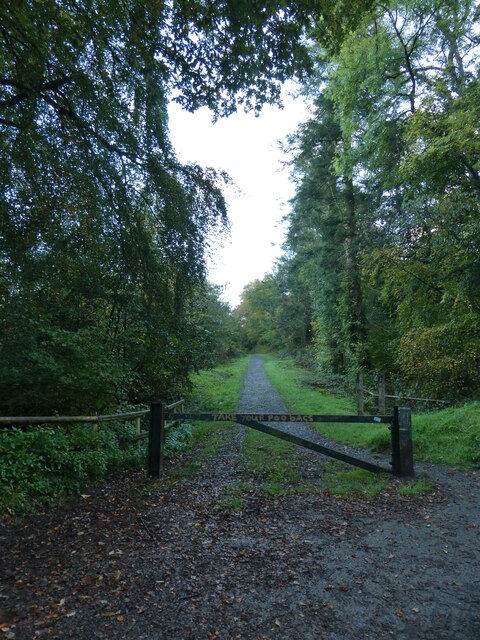
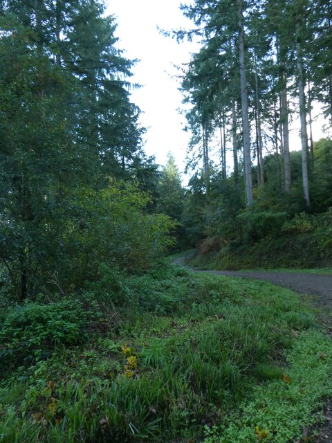
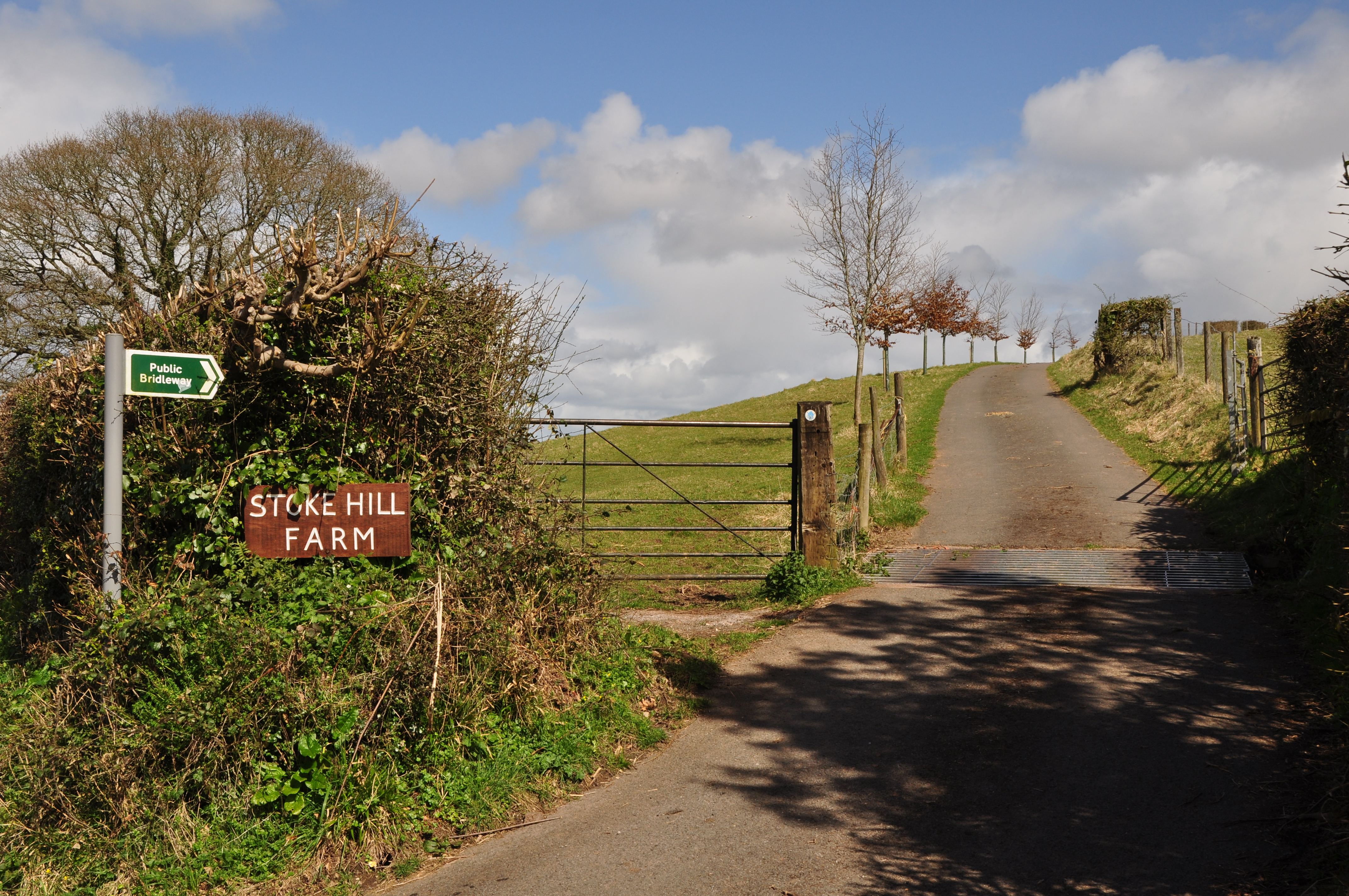
Stoke Hill Images

Images are sourced within 2km of 50.74743/-3.5082757 or Grid Reference SX9395. Thanks to Geograph Open Source API. All images are credited.

Panorama Trig Point Flush Bracket S3717 <span class="nowrap"><a title="http://trigpointing.uk/trig/5282" rel="nofollow ugc noopener" href="http://trigpointing.uk/trig/5282">Link</a><img style="margin-left:2px;" alt="External link" title="External link - shift click to open in new window" src="https://s1.geograph.org.uk/img/external.png" width="10" height="10"/></span>
Panorama Trig Point Flush Bracket S3717
Culverland Road, Exeter A street with terraced houses in a single style; the exception in this view is the second on the left.  The facade was changed to give fake stone cladding, later removed, leaving the plain facade.  Much of this area is student housing
Culverland Road, Exeter
A street with terraced houses in a single style; the exception in this view is the second on the left. The facade was changed to give fake stone cladding, later removed, leaving the plain facade. Much of this area is student housing
CES in Whipton Village The front shop of CES Exeter, Electrical Appliance Specialists as viewed from Whipton Village Road in East Devon.
CES in Whipton Village
The front shop of CES Exeter, Electrical Appliance Specialists as viewed from Whipton Village Road in East Devon.
Baptist Church in Exeter The front view of the B3212 Pinhoe Road Baptist Church in the Polsloe area of Exeter in Devon.
Baptist Church in Exeter
The front view of the B3212 Pinhoe Road Baptist Church in the Polsloe area of Exeter in Devon.
Queen's Head Pub in Exeter The front view of the Queen's Head Pub in the Polsloe area of Exeter in Devon as seen from the B3212 Pinhoe Road.
Queen's Head Pub in Exeter
The front view of the Queen's Head Pub in the Polsloe area of Exeter in Devon as seen from the B3212 Pinhoe Road.
Queen's Head Pub Sign in Exeter The Queen's Head Pub Sign in the Polsloe area of Exeter in Devon as seen from the B3212 Pinhoe Road.
Queen's Head Pub Sign in Exeter
The Queen's Head Pub Sign in the Polsloe area of Exeter in Devon as seen from the B3212 Pinhoe Road.
Exeter Community Garden The Community Garden on the campus of the University of Exeter.
Exeter Community Garden
The Community Garden on the campus of the University of Exeter.
Tarbet Avenue, Exeter
Pamela Road, Exeter
Pamela Road, Exeter
Wykes Road, the north-south section, Exeter
Part of Herbert Road, Exeter
Junction of Abbey Road with Pinhoe Road, Exeter Shops either side of Abbey Road.  The buildings date from the early 20th century and include detailing in the brickwork
Junction of Abbey Road with Pinhoe Road, Exeter
Shops either side of Abbey Road. The buildings date from the early 20th century and include detailing in the brickwork
Electrical retailer, Pinhoe Road, Exeter Corner shop at the end of a row of terraced houses; notable detailing in the brickwork
Electrical retailer, Pinhoe Road, Exeter
Corner shop at the end of a row of terraced houses; notable detailing in the brickwork
Pinhoe Road, Exeter, and the Great West Run 2023 The road closed for the morning to allow runners to use the road.  This was a water station
Pinhoe Road, Exeter, and the Great West Run 2023
The road closed for the morning to allow runners to use the road. This was a water station
Gate onto path through Stoke Woods, near Exeter The gate has the message "Take your poo bags"
Gate onto path through Stoke Woods, near Exeter
The gate has the message "Take your poo bags"
Path through Stoke Woods, near Exeter
Show me another place!

Stoke Hill is located at Grid Ref: SX9395 (Lat: 50.74743, Lng: -3.5082757)

Administrative County: Devon

District: Exeter

Police Authority: Devon and Cornwall

What 3 Words

///minds.heave.apply. Near Exeter, Devon

Related Wikis

Stoke Hill

Stoke Hill is a large hill rising to the north of Exeter in Devon, England. It is significant as the site of both an Iron Age hill fort and a later Roman...

Polsloe Priory

Polsloe Priory, also known as St Katherine's Priory, was a Benedictine priory for women (a nunnery) in Devon, England. It was founded in around 1159 on...

Exmouth Junction

Exmouth Junction is the railway junction where the Exmouth branch line diverges from the London Waterloo to Exeter main line in Exeter, Devon, England...

St Sidwells

St Sidwell's is an area east of Exeter city centre in the ward of Newtown. Formerly a village in its own right, St Sidwell's grew in importance along with...

Nearby Amenities

Located within 500m of 50.74743,-3.5082757
Barrier: fence
Lat/Long: 50.7453349/-3.5127964
Rixlade
Place: hamlet
Lat/Long: 50.7507456/-3.5047021
Bench
Direction: S
Tourism: viewpoint
Lat/Long: 50.7432287/-3.5080816
Height: 22.5
Man Made: mast
Tower Construction: lattice
Tower Type: communication
Lat/Long: 50.7458406/-3.5084351
Addr City: Exeter
Addr Housename: The Old Barn
Addr Postcode: EX4 7JH
Addr Street: Stoke Hill
Lat/Long: 50.7447438/-3.5106179
Addr City: Exeter
Addr Housename: The Grange
Addr Street: Stoke Hill
Lat/Long: 50.7452602/-3.5122765
Addr City: Exeter
Addr Housename: The Cottage
Addr Street: Stoke Hill
Lat/Long: 50.7477123/-3.5085658
Addr City: Exeter
Addr Housename: Moongate
Addr Street: Stoke Hill
Lat/Long: 50.7468119/-3.5076812
Addr City: Exeter
Addr Housename: Oakfield House
Addr Postcode: EX4 9JN
Addr Street: Stoke Hill
Lat/Long: 50.7505094/-3.50656
Drake's Meadow
Place: locality
Lat/Long: 50.746403/-3.5056432
Pennsylvania tv transmitter
Alt Name: Stoke Hill Transmitter Station
Communication Television: yes
Height: 22.4
Man Made: mast
Operator: Arqiva
Operator Wikidata: Q4795774
Tower Construction: lattice
Tower Type: communication
Lat/Long: 50.7437409/-3.5112677
Post Box
Collection Times: Mo-Fr 09:00; Sa 07:00; Su off
Colour: red
Drive Through: no
Indoor: no
Operator: Royal Mail
Operator Wikidata: Q638098
Post Box Mounting: brick_pillar
Post Box Type: wall
Ref: EX4 436D
Royal Cypher: VR
Royal Cypher Wikidata: Q33102356
Source: survey
Lat/Long: 50.7500777/-3.5062839
Addr City: Exeter
Addr Housename: Compass Cottage
Addr Street: Stoke Hill
Lat/Long: 50.7450866/-3.5107268
Addr City: Exeter
Addr Housename: Coach House
Addr Street: Stoke Hill
Lat/Long: 50.7452546/-3.5105176
Barrier: cattle_grid
Lat/Long: 50.743835/-3.5115478
Addr City: Exeter
Addr Housename: The Edge
Addr Street: Stoke Hill
Lat/Long: 50.7481797/-3.5078569
Addr City: Exeter
Addr Housename: The Eye Of The World
Addr Street: Stoke Hill
Lat/Long: 50.7480032/-3.5080044
Addr City: Exeter
Addr Housename: Rixlade Farm
Addr Postcode: EX4 9JN
Addr Street: Stoke Hill
Lat/Long: 50.7508449/-3.5051532
The data included in this document is from www.openstreetmap.org. The data is made available under ODbL.

Have you been to Stoke Hill?

Leave your review of Stoke Hill below (or comments, questions and feedback).