Bangors

Settlement in Cornwall

England

Bangors

Coastal properties seen through the gorse The coastal path descends into a small valley below Wanson, before joining the road on the far side.
Coastal properties seen through the gorse Credit: David Martin

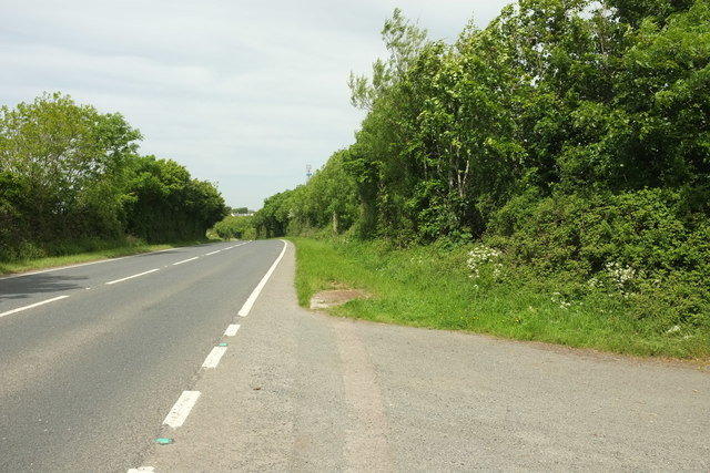
Bangors is a small village located in the county of Cornwall, England. Situated in the southeastern region of Cornwall, Bangors is nestled amidst the beautiful Cornish countryside, surrounded by rolling hills and picturesque landscapes. The village is situated near the A30 road, providing convenient access to nearby towns and cities.

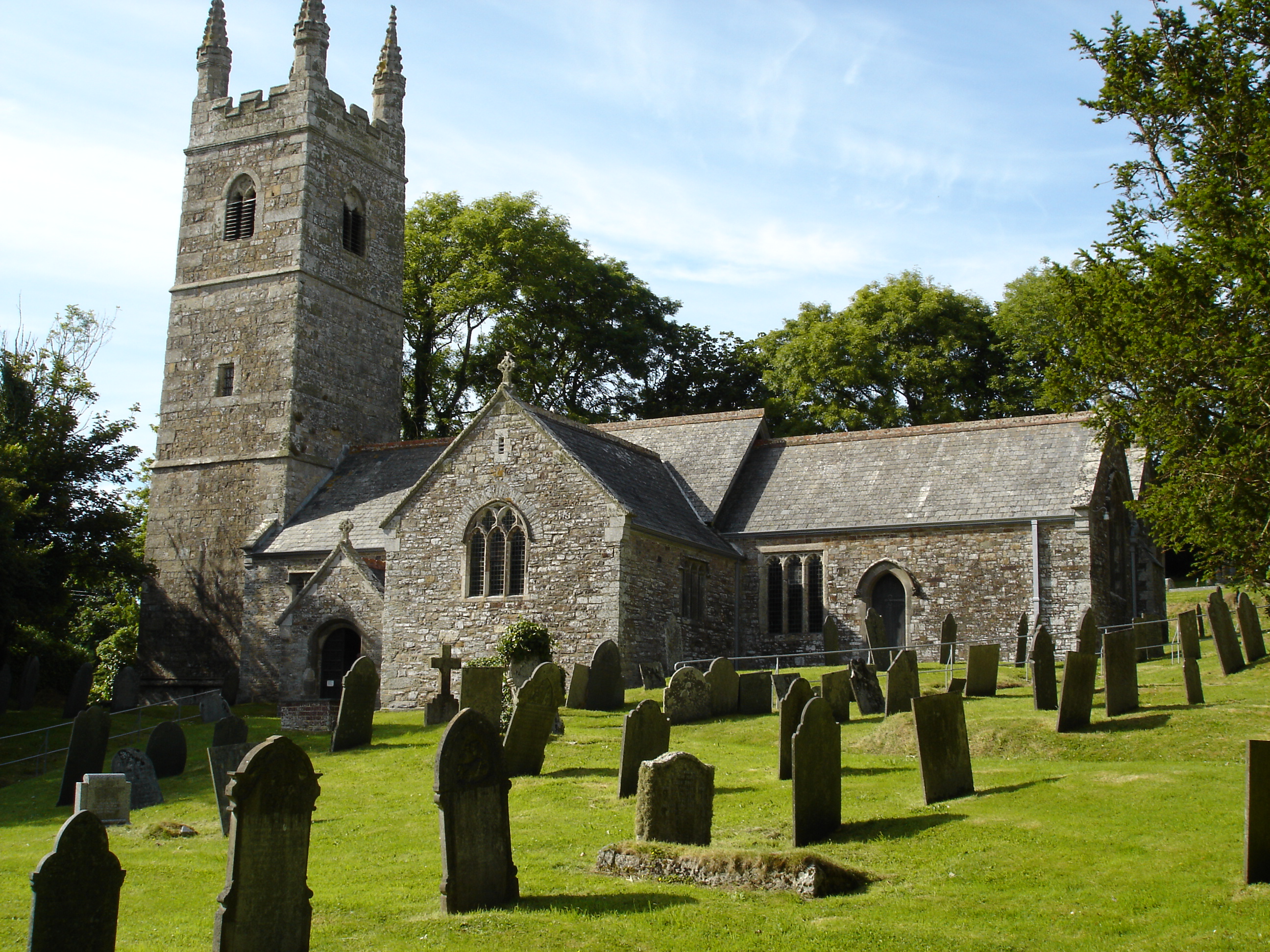
Despite its modest size, Bangors boasts a rich history that dates back centuries. The village is home to several historic landmarks, including Bangors Church, a charming 13th-century parish church known for its striking architecture and peaceful ambiance. The church serves as a focal point for the community and is often visited by locals and tourists alike.

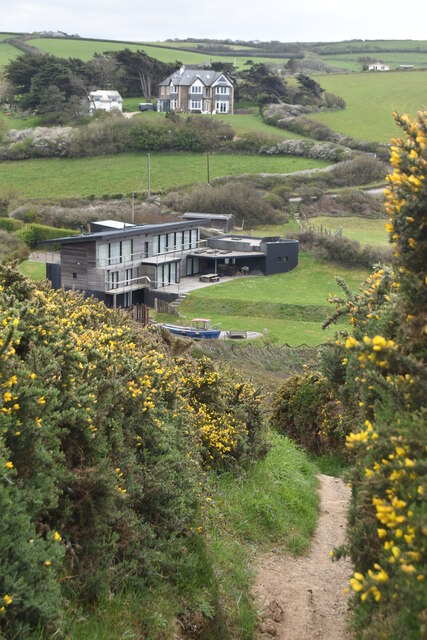
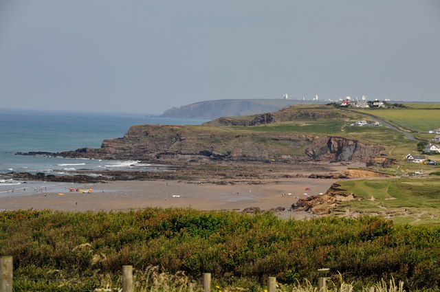
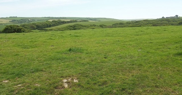
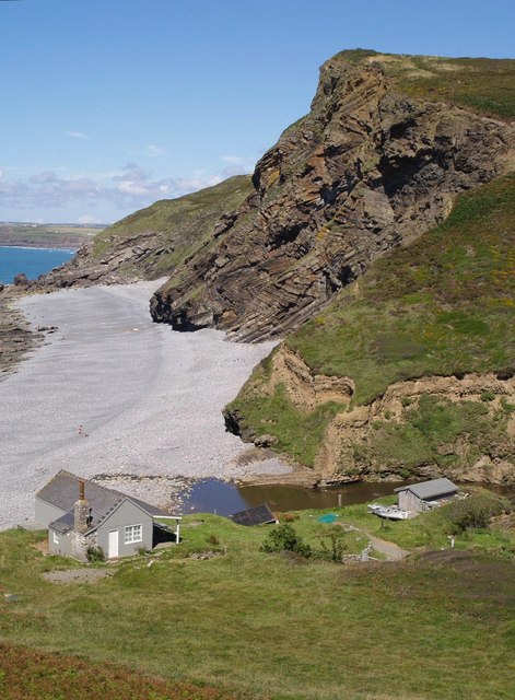
In addition to its historical significance, Bangors is also known for its idyllic natural beauty. The village is surrounded by lush green fields, offering ample opportunities for outdoor activities such as hiking and picnicking. The nearby Bodmin Moor, a designated Area of Outstanding Natural Beauty, is a popular destination for nature enthusiasts and offers breathtaking views of the surrounding countryside.

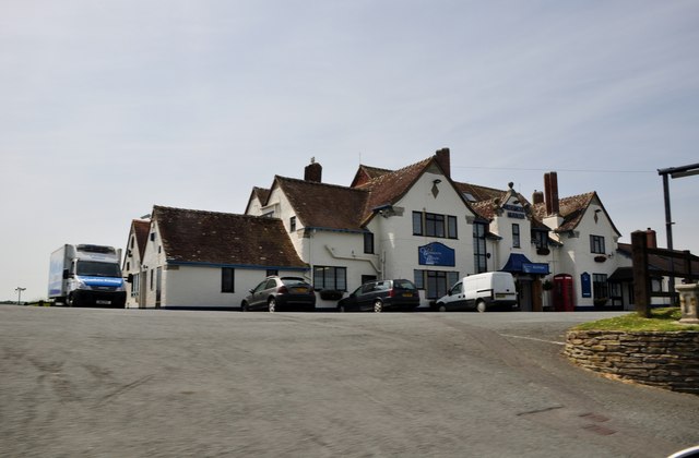
Despite its rural setting, Bangors is not lacking in amenities. The village is home to a few local shops and amenities, providing residents with essential services. For a wider range of amenities, the nearby town of Bodmin is within easy reach, offering a variety of shops, supermarkets, and leisure facilities.

Overall, Bangors is a charming village that offers a peaceful and scenic retreat for residents and visitors alike. Its rich history, natural beauty, and convenient location make it a desirable place to live or visit in Cornwall.

If you have any feedback on the listing, please let us know in the comments section below.

Bangors Images

Images are sourced within 2km of 50.767286/-4.54237 or Grid Reference SX2099. Thanks to Geograph Open Source API. All images are credited.

Coastal properties seen through the gorse The coastal path descends into a small valley below Wanson, before joining the road on the far side.
Coastal properties seen through the gorse
The coastal path descends into a small valley below Wanson, before joining the road on the far side.
Rolling fields above Great Wanson
North Cornwall : Widemouth Manor The Widemouth Manor Hotel is set within its own gardens, and stands high up near the cliffs.
North Cornwall : Widemouth Manor
The Widemouth Manor Hotel is set within its own gardens, and stands high up near the cliffs.
Widemouth Bay : Sandy Bay Widemouth Bay is a bay and beach on the Atlantic coast of Cornwall, England, UK, approximately 3 miles (5 km) south of Bude.
Widemouth Bay : Sandy Bay
Widemouth Bay is a bay and beach on the Atlantic coast of Cornwall, England, UK, approximately 3 miles (5 km) south of Bude.
Stream by Wanson Mouth View from a bridge on the coastal path, just a few yards from the road.
Stream by Wanson Mouth
View from a bridge on the coastal path, just a few yards from the road.
Wanson Mouth and coast path The coast path goes down the valley towards the sea at Wanson Mouth for a short distance, the climbs back onto the cliffs. The path here also gives access to the rocky beach.
Wanson Mouth and coast path
The coast path goes down the valley towards the sea at Wanson Mouth for a short distance, the climbs back onto the cliffs. The path here also gives access to the rocky beach.
Towards Wanson Mouth Taken from a footpath which starts at Poundstock.The large white building to the right is the Widemouth Manor Hotel which overlooks Widemouth Bay.
Towards Wanson Mouth
Taken from a footpath which starts at Poundstock.The large white building to the right is the Widemouth Manor Hotel which overlooks Widemouth Bay.
Rolling North Cornish hills Looking south from the lane to Wanson beach.
Rolling North Cornish hills
Looking south from the lane to Wanson beach.
South West Coastal Path Looking north along a track near Wanson.
South West Coastal Path
Looking north along a track near Wanson.
The Coast Road to Wanson The coast path takes the road all the way down to the bottom of the valley.
The Coast Road to Wanson
The coast path takes the road all the way down to the bottom of the valley.
Footpath to the Widemouth Manor Hotel At the time of writing the hotel was closed with a sign promising re-opening in 2010.
Footpath to the Widemouth Manor Hotel
At the time of writing the hotel was closed with a sign promising re-opening in 2010.
Farmland near Penhalt Farm View across farmland to Penhalt Farm Holiday Park.
Farmland near Penhalt Farm
View across farmland to Penhalt Farm Holiday Park.
Landscape near Penfound Interfluves and valleys seen from the road west from Penfound.
Landscape near Penfound
Interfluves and valleys seen from the road west from Penfound.
Towards Week St Mary From the same point as <a href="https://www.geograph.org.uk/photo/5181480">SX2199 : Landscape near Penfound</a>, looking more to the left. The tower of St Mary's church at Week St Mary can be seen on the horizon towards the left.
Towards Week St Mary
From the same point as SX2199 : Landscape near Penfound, looking more to the left. The tower of St Mary's church at Week St Mary can be seen on the horizon towards the left.
Towards Coppathorne From the lane between Bangors and Penfound. On the horizon left of centre is Mount Pleasant Farm, mostly in <a href="https://www.geograph.org.uk/gridref/SS2100">SS2100</a>. Further right is the sea.
Towards Coppathorne
From the lane between Bangors and Penfound. On the horizon left of centre is Mount Pleasant Farm, mostly in SS2100. Further right is the sea.
Crossroads at Bangors The road from Penfound arrives at a crossroads with the A39 Atlantic Highway.
Crossroads at Bangors
The road from Penfound arrives at a crossroads with the A39 Atlantic Highway.
A39 near Penlean At the side turning off the main road for a bungalow.
A39 near Penlean
At the side turning off the main road for a bungalow.
Show me another place!

Bangors is located at Grid Ref: SX2099 (Lat: 50.767286, Lng: -4.54237)

Unitary Authority: Cornwall

Police Authority: Devon and Cornwall

What 3 Words

///plausible.lectured.curvy. Near Poundstock, Cornwall

Nearby Locations

Bangors

Related Wikis

Nearby Amenities

Located within 500m of 50.767286,-4.54237
Bus Stop
Chapel
Bus: yes
Naptan AtcoCode: 0800COA10133
Naptan Bearing: W
Naptan CommonName: Chapel
Naptan NaptanCode: cordpgjg
Naptan Street: Vicarage Lane
Naptan Verified: no
Public Transport: platform
Source: naptan_import
Lat/Long: 50.7672671/-4.5424185
Bangors
Is In County: Cornwall
Name En: Bangors
Name Kw: Banngors
Place: hamlet
Source: NPE
Wikidata: Q4855591
Lat/Long: 50.7684393/-4.5411722
Bangors Organic Guest House
Tourism: guest_house
Lat/Long: 50.7671612/-4.5418288
Direction: backward
Maxspeed: 30 mph
Traffic Sign: maxspeed
Lat/Long: 50.7674021/-4.5419334
Bench
Backrest: yes
Lat/Long: 50.7677341/-4.5421191
The data included in this document is from www.openstreetmap.org. The data is made available under ODbL.

Have you been to Bangors?

Leave your review of Bangors below (or comments, questions and feedback).