Hooksway

Settlement in Sussex Chichester

England

Hooksway

'The Royal Oak', Hooksway Hooksway is a tiny settlement situated in the dip slopes of the South Downs at the end of a lane off the B2141 south of North Marden. It consists of 'The Royal Oak' (where I partook of welcome fare) and a very small number of houses <a href="https://www.geograph.org.uk/photo/7196118">SU8116 : Uptown Hooksway</a>.
'The Royal Oak', Hooksway Credit: David Kemp

Hooksway is a small village located in the county of Sussex, England. Situated in the South Downs National Park, the village offers breathtaking views of the surrounding countryside and is known for its peaceful and idyllic setting.

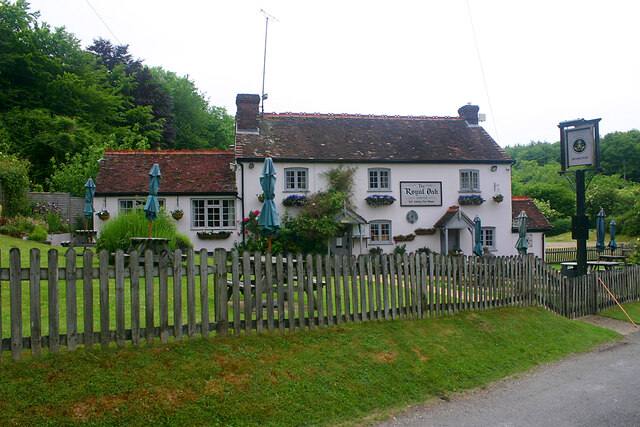
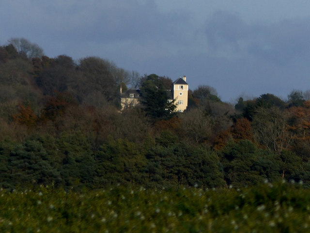
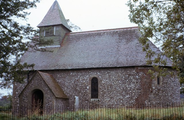
The village of Hooksway is home to a close-knit community of approximately 300 residents. The charming village consists of a few scattered houses, a traditional church, and a small village hall. The church, St. Nicholas, dates back to the 12th century and is a notable architectural landmark in the area.

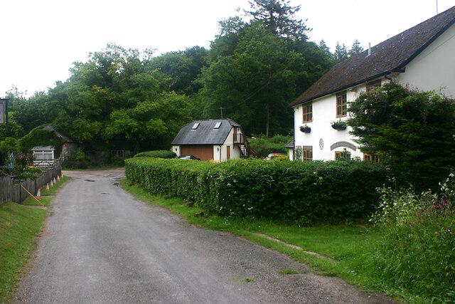
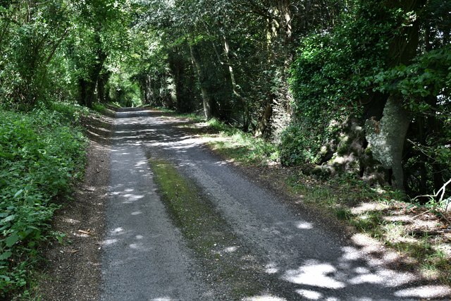
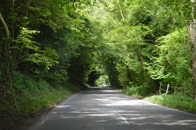
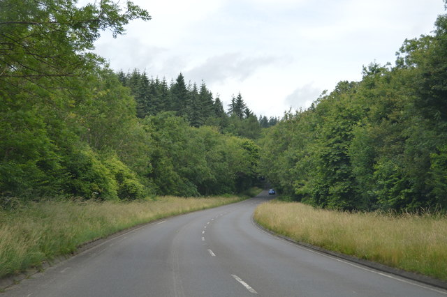
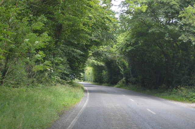
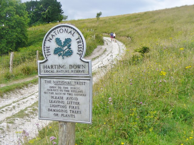
Surrounded by rolling hills and lush green fields, Hooksway is a paradise for nature lovers and hikers. The village is situated on the South Downs Way, a popular long-distance footpath that attracts many visitors throughout the year. The scenic trails provide opportunities for leisurely walks, challenging hikes, and stunning panoramic views of the countryside.

Despite its small size, Hooksway is conveniently located near several larger towns and villages. Chichester, a historic city known for its cathedral and cultural attractions, is only a short drive away. The nearby town of Midhurst offers a range of amenities, including shops, restaurants, and a weekly market.

In conclusion, Hooksway is a picturesque and serene village in Sussex, offering a tranquil escape from the hustle and bustle of city life. With its stunning natural surroundings and friendly community, it is a hidden gem for those seeking a peaceful retreat in the heart of the South Downs.

If you have any feedback on the listing, please let us know in the comments section below.

Hooksway Images

Images are sourced within 2km of 50.939618/-0.84048 or Grid Reference SU8116. Thanks to Geograph Open Source API. All images are credited.

'The Royal Oak', Hooksway Hooksway is a tiny settlement situated in the dip slopes of the South Downs at the end of a lane off the B2141 south of North Marden. It consists of 'The Royal Oak' (where I partook of welcome fare) and a very small number of houses <a href="https://www.geograph.org.uk/photo/7196118">SU8116 : Uptown Hooksway</a>.
'The Royal Oak', Hooksway
Hooksway is a tiny settlement situated in the dip slopes of the South Downs at the end of a lane off the B2141 south of North Marden. It consists of 'The Royal Oak' (where I partook of welcome fare) and a very small number of houses SU8116 : Uptown Hooksway.
Uptown Hooksway Hooksway comprises just a few dwellings either side of the lane and 'The Royal Oak' <a href="https://www.geograph.org.uk/photo/7196116">SU8116 : 'The Royal Oak', Hooksway</a> just out of sight behind the fencing on the left.
Uptown Hooksway
Hooksway comprises just a few dwellings either side of the lane and 'The Royal Oak' SU8116 : 'The Royal Oak', Hooksway just out of sight behind the fencing on the left.
Buriton Farm, Treyford
East Marden: The wooded part of Long Lane
B2141, Chilgrove Hill The B2141 runs 8 miles over the South Downs from mid Lavant to South Harting. It links Chichester with Petersfield.
<span class="nowrap"><a title="http://www.sabre-roads.org.uk/wiki/index.php?title=B2141" rel="nofollow ugc noopener" href="http://www.sabre-roads.org.uk/wiki/index.php?title=B2141">Link</a><img style="margin-left:2px;" alt="External link" title="External link - shift click to open in new window" src="https://s1.geograph.org.uk/img/external.png" width="10" height="10"/></span>
B2141, Chilgrove Hill
The B2141 runs 8 miles over the South Downs from mid Lavant to South Harting. It links Chichester with Petersfield. LinkExternal link
B2141 The B2141 runs 8 miles over the South Downs from mid Lavant to South Harting. It links Chichester with Petersfield.
<span class="nowrap"><a title="http://www.sabre-roads.org.uk/wiki/index.php?title=B2141" rel="nofollow ugc noopener" href="http://www.sabre-roads.org.uk/wiki/index.php?title=B2141">Link</a><img style="margin-left:2px;" alt="External link" title="External link - shift click to open in new window" src="https://s1.geograph.org.uk/img/external.png" width="10" height="10"/></span>
B2141
The B2141 runs 8 miles over the South Downs from mid Lavant to South Harting. It links Chichester with Petersfield. LinkExternal link
Harting Down South Downs near South Harting - entering a Local Nature Reserve.
Harting Down
South Downs near South Harting - entering a Local Nature Reserve.
The Telegraph House on Beacon Hill Viewed from near the Telegraph House on Telegraph Hill near Compton, showing the uninterrupted line of sight required for a semaphore telegraph.
The Telegraph House on Beacon Hill
Viewed from near the Telegraph House on Telegraph Hill near Compton, showing the uninterrupted line of sight required for a semaphore telegraph.
St Mary's Church - North Marden, West Sussex Welcome to one of the smallest churches in Sussex. The church of St Mary's in North Marden has its origins firmly rooted in the time of the Normans. It is virtually all of 12th century date. There are Norman windows, font and a doorway. One modern window and some 18th century brickwork repairs to the flint walls complete the picture. Generations of people have passed this way since this little place was built. This photo was taken during my east to west walk along the South Downs Way in September 1974. Time photo taken not available. Source: Wikipedia
St Mary's Church - North Marden, West Sussex
Welcome to one of the smallest churches in Sussex. The church of St Mary's in North Marden has its origins firmly rooted in the time of the Normans. It is virtually all of 12th century date. There are Norman windows, font and a doorway. One modern window and some 18th century brickwork repairs to the flint walls complete the picture. Generations of people have passed this way since this little place was built. This photo was taken during my east to west walk along the South Downs Way in September 1974. Time photo taken not available. Source: Wikipedia
Old Direction Sign - Signpost in East Marsden Annulus finial - 3 arms; WSCC parish halo by the UC road, in parish of Marden (Chichester District), East Marden Farm, at Y-junction, on verge, North side of road.

Surveyed

Milestone Society National ID: SX_SU8014.
Old Direction Sign - Signpost in East Marsden
Annulus finial - 3 arms; WSCC parish halo by the UC road, in parish of Marden (Chichester District), East Marden Farm, at Y-junction, on verge, North side of road. Surveyed Milestone Society National ID: SX_SU8014.
Direction Sign - Signpost at the east end of Long Lane. Marden Annulus finial - 3 arms; WSCC parish halo by the UC road, in parish of Marden (Chichester District), on the east side of the T junction at the east end of Long Lane.

surveyed

Milestone Society National ID: SX_SU8015
Direction Sign - Signpost at the east end of Long Lane. Marden
Annulus finial - 3 arms; WSCC parish halo by the UC road, in parish of Marden (Chichester District), on the east side of the T junction at the east end of Long Lane. surveyed Milestone Society National ID: SX_SU8015
Direction Sign - Signpost on the B2141 east of East Marden Disc finial - 3 arms; West Sussex badge disc by the B2141, in parish of Marden (Chichester District), north of Bow Hill Farm on the west side of a Y junction of the B2141 and a lane to East Marden.

surveyed

Milestone Society National ID: SX_SU8114
Direction Sign - Signpost on the B2141 east of East Marden
Disc finial - 3 arms; West Sussex badge disc by the B2141, in parish of Marden (Chichester District), north of Bow Hill Farm on the west side of a Y junction of the B2141 and a lane to East Marden. surveyed Milestone Society National ID: SX_SU8114
East Marden, St. Peter's Church
East Marden: Road sign
East Marden, St. Peter's Church
East Marden, St. Peter's Church: The nave
East Marden, St. Peter's Church: The font
Show me another place!

Hooksway is located at Grid Ref: SU8116 (Lat: 50.939618, Lng: -0.84048)

Administrative County: West Sussex

District: Chichester

Police Authority: Sussex

What 3 Words

///scouting.tailors.stub. Near South Harting, West Sussex

Related Wikis

North Marden

North Marden is a tiny village and former civil parish, now in the parish of Marden, in the Chichester district of West Sussex, England. It is 7.5 miles...

Devil's Jumps, Treyford

The Devil's Jumps are a group of five large bell barrows situated on the South Downs 1.2 kilometres (0.75 mi) south-east of Treyford in the county of West...

Marden, West Sussex

Marden is a civil parish in the Chichester district of West Sussex, England. It lies on the South Downs and comprises the villages of North Marden and...

East Marden

East Marden is a village and former civil parish, now in the parish of Marden, in the Chichester district of West Sussex, England. It is on the spur of...

Monkton House, West Dean

Monkton House, West Dean, West Sussex is an English country house designed in 1902 by Edwin Lutyens for Willie James. It was extensively remodelled for...

Rook Clift

Rook Clift is a 10.7-hectare (26-acre) biological Site of Special Scientific Interest east of South Harting in West Sussex. It is also a Special Area of...

Harting Downs

Harting Downs is a 336.3-hectare (831-acre) biological Site of Special Scientific Interest west of Midhurst in West Sussex. It is a Nature Conservation...

Beacon Hill, West Sussex

Beacon Hill, also known as Harting Beacon, is a hillfort on the South Downs, in the county of West Sussex in southern England. The hillfort is located...

Nearby Amenities

Located within 500m of 50.939618,-0.84048
Barrier: stile
Condition: dilapidated
Material: wood
Lat/Long: 50.9362259/-0.842188
Barrier: kissing_gate
Material: steel
Lat/Long: 50.9368337/-0.843595
The data included in this document is from www.openstreetmap.org. The data is made available under ODbL.

Have you been to Hooksway?

Leave your review of Hooksway below (or comments, questions and feedback).