Germanleith Copse
Wood, Forest in Sussex Chichester
England
Germanleith Copse
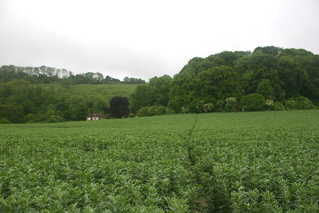
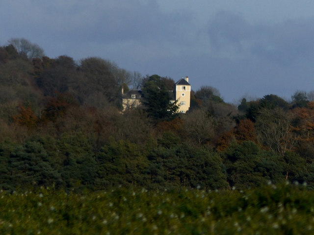
Germanleith Copse is a picturesque woodland located in Sussex, England. Covering an area of approximately 20 acres, it is a haven for nature enthusiasts and offers a serene escape from the bustling city life. The copse is situated in the southern part of Sussex, just a short distance from the village of Germanleith.
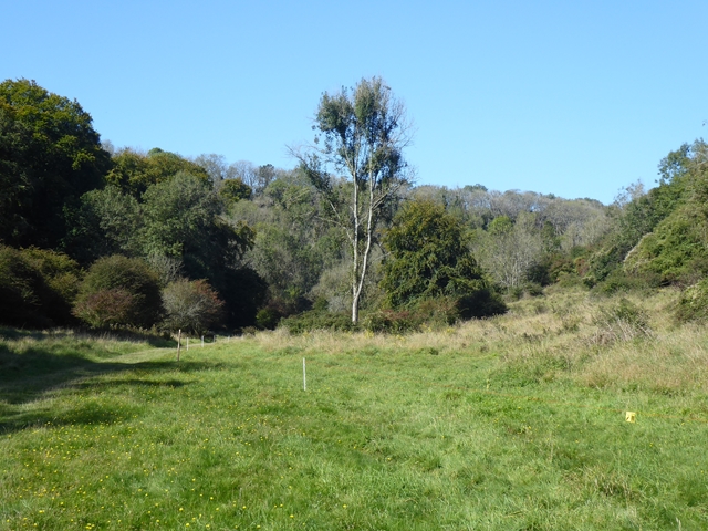
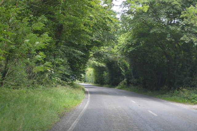
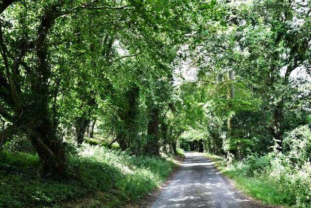
The woodland is primarily composed of deciduous trees, such as oak, beech, and ash, which provide a lush and vibrant canopy during the summer months. These trees offer ample shade and create a cool and tranquil environment for visitors to explore. The forest floor is carpeted with a variety of wildflowers, such as bluebells and primroses, adding bursts of color to the landscape.
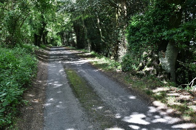
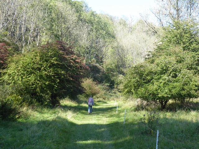
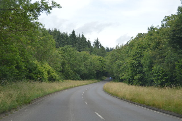
Germanleith Copse is crisscrossed by a network of footpaths, making it easily accessible for walkers and hikers. These paths wind through the woodland, allowing visitors to enjoy the peaceful atmosphere and observe the diverse range of flora and fauna that call the copse home. The woodland is also home to a variety of bird species, including woodpeckers and owls, making it a popular spot for birdwatchers.
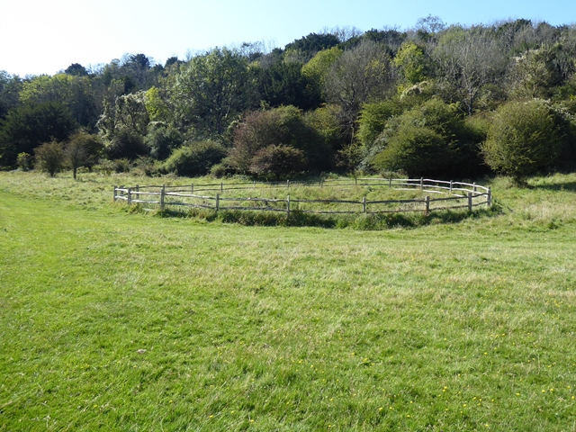
The copse is managed by the local forestry commission, ensuring its preservation and protection for future generations. Facilities such as picnic areas and benches are available for visitors to relax and enjoy the natural beauty of the surroundings. Germanleith Copse is a true gem of Sussex, offering a tranquil retreat and an opportunity to connect with nature.
If you have any feedback on the listing, please let us know in the comments section below.
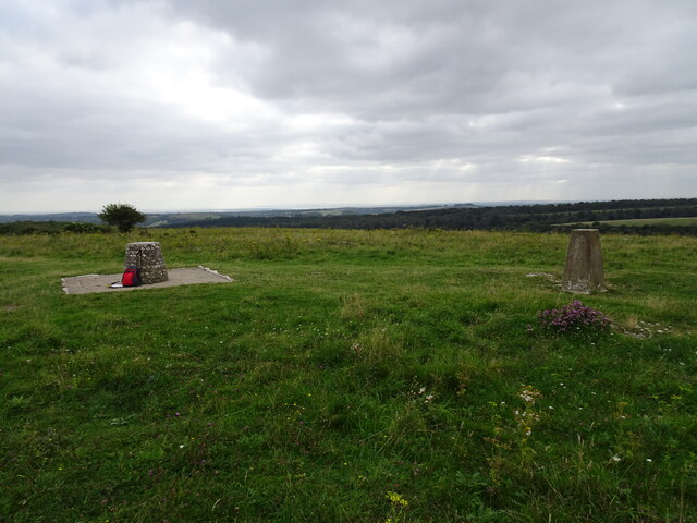
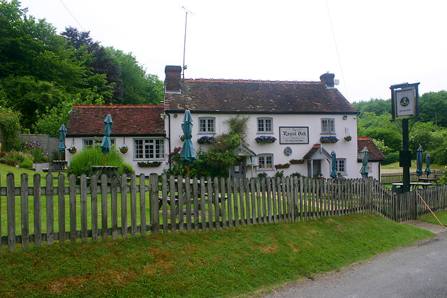
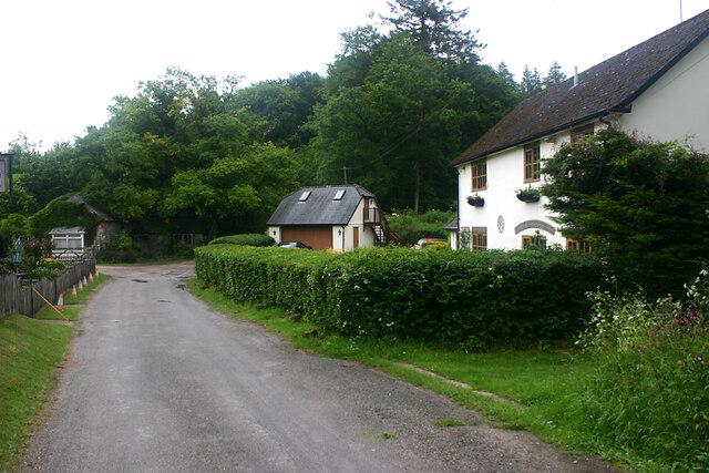
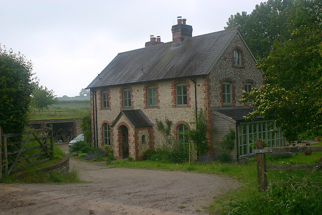
Germanleith Copse Images
Images are sourced within 2km of 50.944288/-0.84338525 or Grid Reference SU8116. Thanks to Geograph Open Source API. All images are credited.
Germanleith Copse is located at Grid Ref: SU8116 (Lat: 50.944288, Lng: -0.84338525)
Administrative County: West Sussex
District: Chichester
Police Authority: Sussex
What 3 Words
///doses.hatch.announced. Near South Harting, West Sussex
Nearby Locations
Related Wikis

North Marden
North Marden is a tiny village and former civil parish, now in the parish of Marden, in the Chichester district of West Sussex, England. It is 7.5 miles...

Devil's Jumps, Treyford
The Devil's Jumps are a group of five large bell barrows situated on the South Downs 1.2 kilometres (0.75 mi) south-east of Treyford in the county of West...

Rook Clift
Rook Clift is a 10.7-hectare (26-acre) biological Site of Special Scientific Interest east of South Harting in West Sussex. It is also a Special Area of...
Beacon Hill, West Sussex
Beacon Hill, also known as Harting Beacon, is a hillfort on the South Downs, in the county of West Sussex in southern England. The hillfort is located...

Harting Downs
Harting Downs is a 336.3-hectare (831-acre) biological Site of Special Scientific Interest west of Midhurst in West Sussex. It is a Nature Conservation...
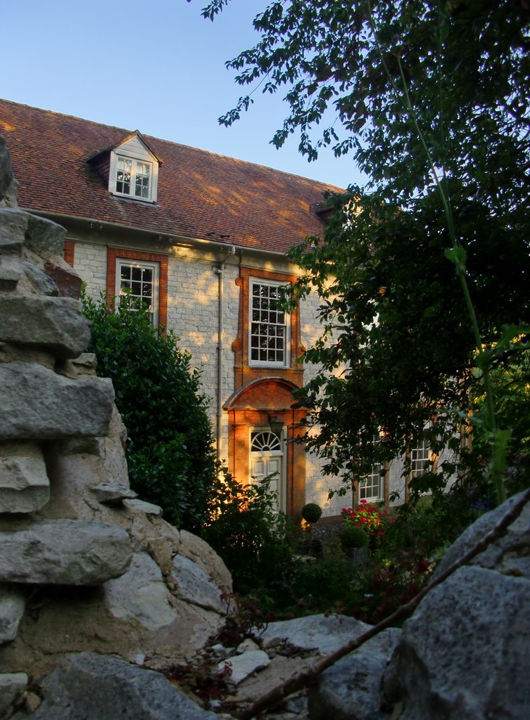
Monkton House, West Dean
Monkton House, West Dean, West Sussex is an English country house designed in 1902 by Edwin Lutyens for Willie James. It was extensively remodelled for...

Marden, West Sussex
Marden is a civil parish in the Chichester district of West Sussex, England. It lies on the South Downs and comprises the villages of North Marden and...
Treyford
Treyford is a hamlet, Anglican parish and former civil parish, now in the civil parish of Elsted and Treyford, in the Chichester district of West Sussex...
Nearby Amenities
Located within 500m of 50.944288,-0.84338525Have you been to Germanleith Copse?
Leave your review of Germanleith Copse below (or comments, questions and feedback).