Carn Achadh Gaibhre
Hill, Mountain in Nairnshire
Scotland
Carn Achadh Gaibhre

Carn Achadh Gaibhre is a prominent hill located in Nairnshire, Scotland. It is part of the Grampian Mountains range and stands at an elevation of approximately 887 meters (2,910 feet). The hill is situated in the western region of Nairnshire, near the village of Laggan.
Carn Achadh Gaibhre is known for its rugged and rocky terrain, making it a popular destination for hikers and outdoor enthusiasts. The hill offers stunning panoramic views of the surrounding landscapes, including the nearby Loch Laggan and the vast wilderness of the Cairngorms National Park.
The ascent to the summit of Carn Achadh Gaibhre can be challenging, with steep slopes and uneven terrain. However, the effort is rewarded with breathtaking vistas and a sense of accomplishment upon reaching the top. The hill is often visited in conjunction with the adjacent peak, Carn Dearg, forming a popular hiking route in the area.
The hill is also rich in flora and fauna, with a diverse range of plant species and wildlife inhabiting its slopes. It is home to various bird species, including golden eagles, ptarmigans, and peregrine falcons. The surrounding area is also known for its deer population, with red deer frequently spotted in the vicinity.
Overall, Carn Achadh Gaibhre is a notable landmark in Nairnshire, offering visitors an opportunity to immerse themselves in the natural beauty of the Scottish Highlands and enjoy a challenging outdoor adventure.
If you have any feedback on the listing, please let us know in the comments section below.
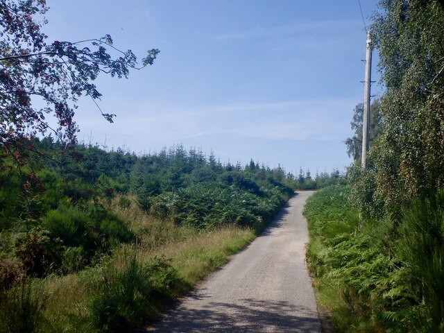
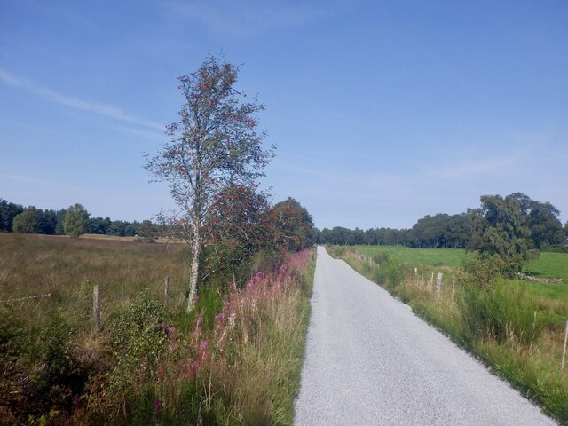
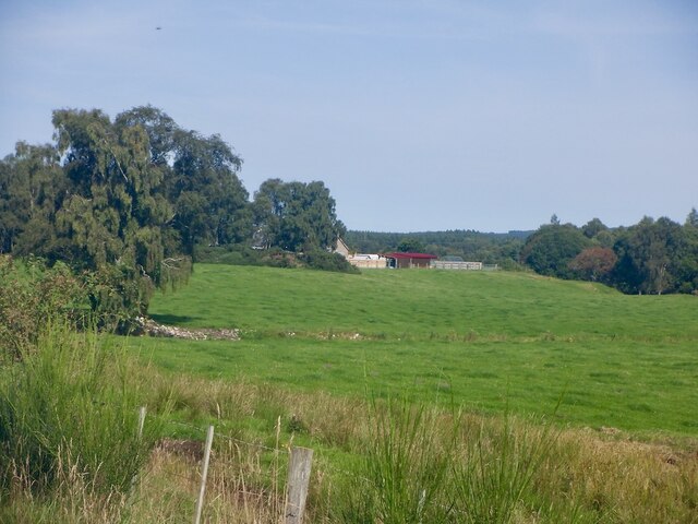
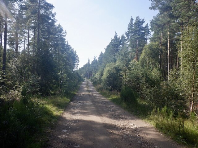
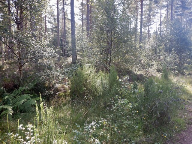
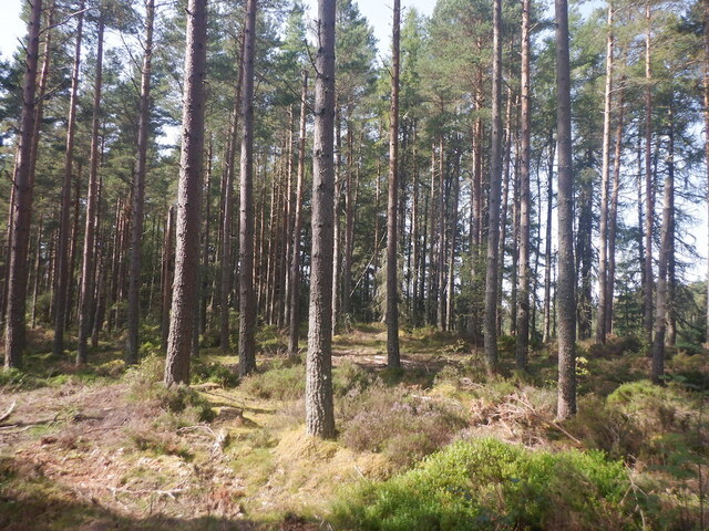
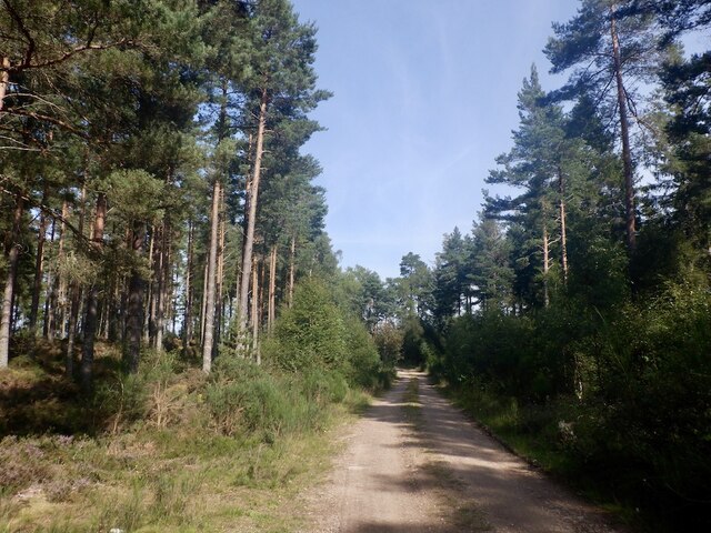
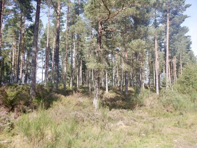
Carn Achadh Gaibhre Images
Images are sourced within 2km of 57.490111/-3.7941887 or Grid Reference NH9245. Thanks to Geograph Open Source API. All images are credited.


Carn Achadh Gaibhre is located at Grid Ref: NH9245 (Lat: 57.490111, Lng: -3.7941887)
Unitary Authority: Highland
Police Authority: Highlands and Islands
What 3 Words
///surfacing.solutions.mandolin. Near Nairn, Highland
Nearby Locations
Related Wikis

County of Nairn
The County of Nairn (also called Nairnshire) (Scottish Gaelic: Siorrachd Inbhir Narann) is a historic county, registration county and lieutenancy area...

Ardclach
Ardclach (Gaelic: Àird Chlach) is a small crofting hamlet, close to Glenferness in the old county of Nairn, Scotland, within the Scottish council area...
Ardclach Bell Tower
Ardclach Bell Tower is an historic structure in Ardclach, Scottish Highlands. Dating to at least 1655, it is now a Category A listed building. It is believed...

Ferness
Ferness (Scottish Gaelic: Feàrnais) is a settlement and rural area in Strathdearn, in the council area of Highland.The settlement is situated in a forested...
Nearby Amenities
Located within 500m of 57.490111,-3.7941887Have you been to Carn Achadh Gaibhre?
Leave your review of Carn Achadh Gaibhre below (or comments, questions and feedback).