Cil-Gwrgan

Hill, Mountain in Montgomeryshire

Wales

Cil-Gwrgan

A470 near Dolfach
A470 near Dolfach Credit: Steven Brown

Cil-Gwrgan is a prominent hill located in the county of Montgomeryshire, Wales. Nestled within the picturesque countryside, this mountain stands at an elevation of approximately 434 meters (1,423 feet) above sea level. It is situated near the village of Berriew, offering breathtaking views of the surrounding landscape.

Covered in lush greenery and adorned with a variety of flora and fauna, Cil-Gwrgan is a popular destination for hikers, nature enthusiasts, and those seeking a peaceful retreat. The hill is known for its well-maintained footpaths, making it easily accessible to visitors of all ages and fitness levels.

At the summit, visitors are rewarded with panoramic vistas of the Montgomeryshire countryside, including picturesque valleys, rolling hills, and distant mountains. On clear days, it is even possible to catch a glimpse of Snowdonia National Park, which lies to the northwest.

The area surrounding Cil-Gwrgan is rich in history, with several ancient sites and landmarks scattered across the hill. These include burial mounds and remnants of hillforts, providing a glimpse into the area's past.

With its stunning natural beauty and historical significance, Cil-Gwrgan offers a tranquil escape from the hustle and bustle of everyday life. Whether it's a leisurely hike, a picnic with loved ones, or simply enjoying the serenity of the surroundings, this mountain is a hidden gem waiting to be explored.

If you have any feedback on the listing, please let us know in the comments section below.
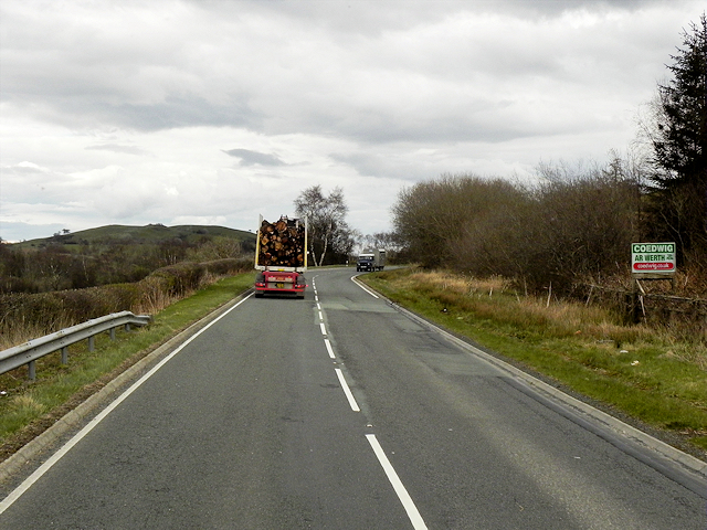
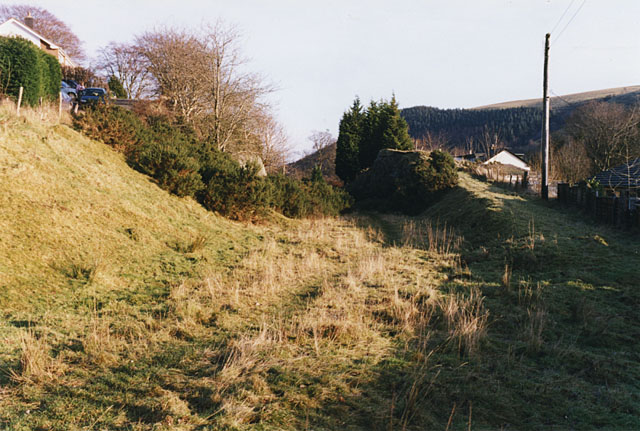
Cil-Gwrgan Images

Images are sourced within 2km of 52.394488/-3.5912647 or Grid Reference SN9178. Thanks to Geograph Open Source API. All images are credited.

A470 near Dolfach
A470 near Dolfach
A470 near Craignant
A470 near Craignant
A44 in Llangurig
A44 in Llangurig
St Curig’s church, Llangurig
The Blue Bell
The Blue Bell
A44 entering Llangurig
Entrance to St Curig’s Church
Over the wall to St Curig’s Church
The A44 enters Llangurig
The A44 in Llangurig
Fancy brickwork in Llangurig
Ordnance Survey Flush Bracket S0730 This can be found on the wall of a former school building in Llangurig.
For more detail see : <span class="nowrap"><a title="http://www.bench-marks.org.uk/bm14979" rel="nofollow ugc noopener" href="http://www.bench-marks.org.uk/bm14979">Link</a><img style="margin-left:2px;" alt="External link" title="External link - shift click to open in new window" src="https://s1.geograph.org.uk/img/external.png" width="10" height="10"/></span>
Ordnance Survey Flush Bracket S0730
This can be found on the wall of a former school building in Llangurig. For more detail see : LinkExternal link
Manchester and Milford Railway at Llangurig Looking back at Llangurig; towards Llanidloes the path gets marshy. The track was dismantled for use elsewhere.
Manchester and Milford Railway at Llangurig
Looking back at Llangurig; towards Llanidloes the path gets marshy. The track was dismantled for use elsewhere.
Llangurig dismantled railway The abortive route between Milford Haven and Manchester promoted by the LNWR. After a long period in receivership it fell into the hands of the GWR. This segment provided a branch from Llangurig into Llanidloes, which is reputed to have carried only one train. It was not economically viable.
Llangurig dismantled railway
The abortive route between Milford Haven and Manchester promoted by the LNWR. After a long period in receivership it fell into the hands of the GWR. This segment provided a branch from Llangurig into Llanidloes, which is reputed to have carried only one train. It was not economically viable.
Upper Wye Valley near Llangurig, 1973 View southwards on the minor road on the right side of the River Wye, to the Llaniwared mountains (rising to 1,721 ft.). (Cf. <a href="https://www.geograph.org.uk/photo/1695311">SN9079 : Afon Gwy / River Wye at Llangurig</a>).
Upper Wye Valley near Llangurig, 1973
View southwards on the minor road on the right side of the River Wye, to the Llaniwared mountains (rising to 1,721 ft.). (Cf. SN9079 : Afon Gwy / River Wye at Llangurig).
Northbound A470 near to Llangurig The A470, also known as the Cardiff to Glan Conwy Trunk Road, is the major long-distance road in Wales, from Cardiff on the south coast to Llandudno on the north coast. It is 185 miles long, and has undergone considerable road improvement in the last two decades. While previously one had to navigate the narrow roads of Llanidloes and Dolgellau, both these market towns are now bypassed due to extensive road modernisation.

The road travels through two of Wales's national parks, the Brecon Beacons in the South and Snowdonia National Park, starting just south of Dinas Mawddwy in the North. It is a primary trunk route throughout its length, and the southernmost 26 miles, from Cardiff Bay to Merthyr Tydfil, is mainly direct and good quality dual carriageway, but most of the route from north of Merthyr to Llandudno is single carriageway.
<span class="nowrap"><a title="http://www.sabre-roads.org.uk/wiki/index.php?title=A470" rel="nofollow ugc noopener" href="http://www.sabre-roads.org.uk/wiki/index.php?title=A470">Link</a><img style="margin-left:2px;" alt="External link" title="External link - shift click to open in new window" src="https://s1.geograph.org.uk/img/external.png" width="10" height="10"/></span>  SABRE
Northbound A470 near to Llangurig
The A470, also known as the Cardiff to Glan Conwy Trunk Road, is the major long-distance road in Wales, from Cardiff on the south coast to Llandudno on the north coast. It is 185 miles long, and has undergone considerable road improvement in the last two decades. While previously one had to navigate the narrow roads of Llanidloes and Dolgellau, both these market towns are now bypassed due to extensive road modernisation. The road travels through two of Wales's national parks, the Brecon Beacons in the South and Snowdonia National Park, starting just south of Dinas Mawddwy in the North. It is a primary trunk route throughout its length, and the southernmost 26 miles, from Cardiff Bay to Merthyr Tydfil, is mainly direct and good quality dual carriageway, but most of the route from north of Merthyr to Llandudno is single carriageway. LinkExternal link SABRE
A470 near to Llangurig The A470, also known as the Cardiff to Glan Conwy Trunk Road, is the major long-distance road in Wales, from Cardiff on the south coast to Llandudno on the north coast. It is 185 miles long, and has undergone considerable road improvement in the last two decades. While previously one had to navigate the narrow roads of Llanidloes and Dolgellau, both these market towns are now bypassed due to extensive road modernisation.

The road travels through two of Wales's national parks, the Brecon Beacons in the South and Snowdonia National Park, starting just south of Dinas Mawddwy in the North. It is a primary trunk route throughout its length, and the southernmost 26 miles, from Cardiff Bay to Merthyr Tydfil, is mainly direct and good quality dual carriageway, but most of the route from north of Merthyr to Llandudno is single carriageway.
<span class="nowrap"><a title="http://www.sabre-roads.org.uk/wiki/index.php?title=A470" rel="nofollow ugc noopener" href="http://www.sabre-roads.org.uk/wiki/index.php?title=A470">Link</a><img style="margin-left:2px;" alt="External link" title="External link - shift click to open in new window" src="https://s1.geograph.org.uk/img/external.png" width="10" height="10"/></span>  SABRE
A470 near to Llangurig
The A470, also known as the Cardiff to Glan Conwy Trunk Road, is the major long-distance road in Wales, from Cardiff on the south coast to Llandudno on the north coast. It is 185 miles long, and has undergone considerable road improvement in the last two decades. While previously one had to navigate the narrow roads of Llanidloes and Dolgellau, both these market towns are now bypassed due to extensive road modernisation. The road travels through two of Wales's national parks, the Brecon Beacons in the South and Snowdonia National Park, starting just south of Dinas Mawddwy in the North. It is a primary trunk route throughout its length, and the southernmost 26 miles, from Cardiff Bay to Merthyr Tydfil, is mainly direct and good quality dual carriageway, but most of the route from north of Merthyr to Llandudno is single carriageway. LinkExternal link SABRE
Layby on Southbound A470 The A470, also known as the Cardiff to Glan Conwy Trunk Road, is the major long-distance road in Wales, from Cardiff on the south coast to Llandudno on the north coast. It is 185 miles long, and has undergone considerable road improvement in the last two decades. While previously one had to navigate the narrow roads of Llanidloes and Dolgellau, both these market towns are now bypassed due to extensive road modernisation.

The road travels through two of Wales's national parks, the Brecon Beacons in the South and Snowdonia National Park, starting just south of Dinas Mawddwy in the North. It is a primary trunk route throughout its length, and the southernmost 26 miles, from Cardiff Bay to Merthyr Tydfil, is mainly direct and good quality dual carriageway, but most of the route from north of Merthyr to Llandudno is single carriageway.
<span class="nowrap"><a title="http://www.sabre-roads.org.uk/wiki/index.php?title=A470" rel="nofollow ugc noopener" href="http://www.sabre-roads.org.uk/wiki/index.php?title=A470">Link</a><img style="margin-left:2px;" alt="External link" title="External link - shift click to open in new window" src="https://s1.geograph.org.uk/img/external.png" width="10" height="10"/></span>  SABRE
Layby on Southbound A470
The A470, also known as the Cardiff to Glan Conwy Trunk Road, is the major long-distance road in Wales, from Cardiff on the south coast to Llandudno on the north coast. It is 185 miles long, and has undergone considerable road improvement in the last two decades. While previously one had to navigate the narrow roads of Llanidloes and Dolgellau, both these market towns are now bypassed due to extensive road modernisation. The road travels through two of Wales's national parks, the Brecon Beacons in the South and Snowdonia National Park, starting just south of Dinas Mawddwy in the North. It is a primary trunk route throughout its length, and the southernmost 26 miles, from Cardiff Bay to Merthyr Tydfil, is mainly direct and good quality dual carriageway, but most of the route from north of Merthyr to Llandudno is single carriageway. LinkExternal link SABRE
Show me another place!

Cil-Gwrgan is located at Grid Ref: SN9178 (Lat: 52.394488, Lng: -3.5912647)

Unitary Authority: Powys

Police Authority: Dyfed Powys

What 3 Words

///journals.befitting.trucks. Near Llanidloes, Powys

Nearby Locations

Cil-Gwrgan

Related Wikis

Llangurig

Llangurig is both a village and a community in Montgomeryshire, Powys, Wales. The population was 723 in the 2011 UK Census. The community includes the...

Llangurig branch

The Llangurig branch was a part of a proposed scheme by the Manchester and Milford Railway (M&MR) to connect industrialised Northwest England with the...

Llangurig railway station

Llangurig railway station was intended to serve the village and rural locale of Llangurig in the Welsh county of Powys. The station, which was on the Llangurig...

Blaen-y-glyn

Blaen-y-glyn is an area in the community of Llangurig, Powys, Wales, which is 67 miles (108 km) from Cardiff and 160 miles (258 km) from London. Cadw-listed...

Nearby Amenities

Located within 500m of 52.394488,-3.5912647
Foel Gurig
Ele: 480
Natural: peak
Lat/Long: 52.3945033/-3.5912624
The data included in this document is from www.openstreetmap.org. The data is made available under ODbL.

Have you been to Cil-Gwrgan?

Leave your review of Cil-Gwrgan below (or comments, questions and feedback).