Allt Lwyd

Hill, Mountain in Brecknockshire

Wales

Allt Lwyd

Moelydd summit  Rounded, bald hills (moelydd) dominate the edge of the moorland. This summit hardly looks like one when viewed against the nearby peak of Gelli Faenog.
Moelydd summit Credit: Jonathan Wilkins

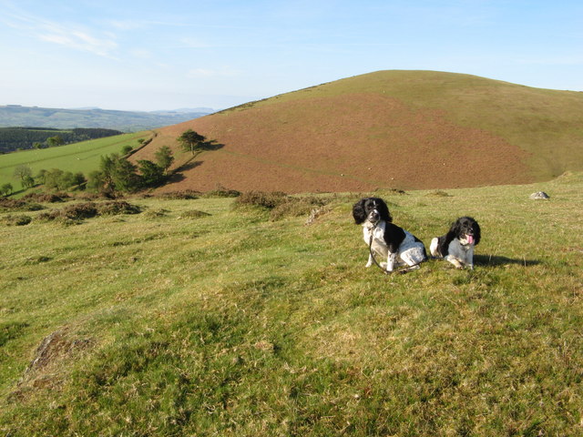
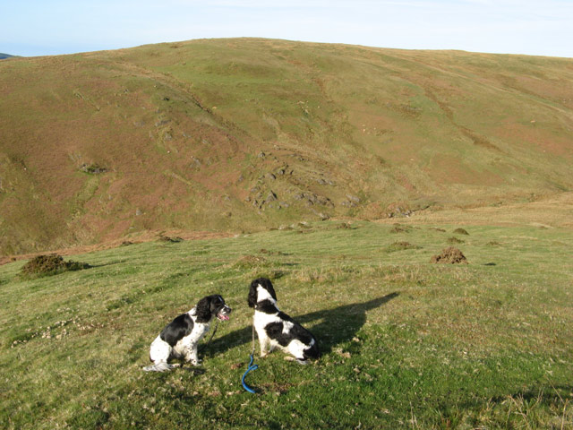
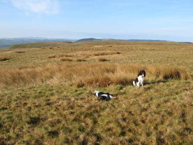
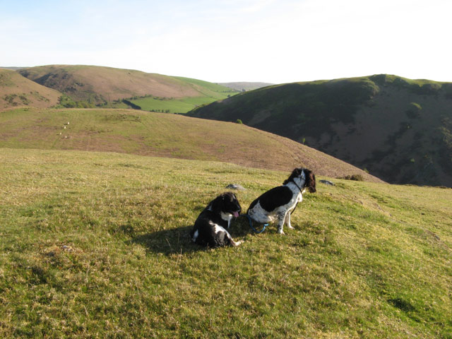
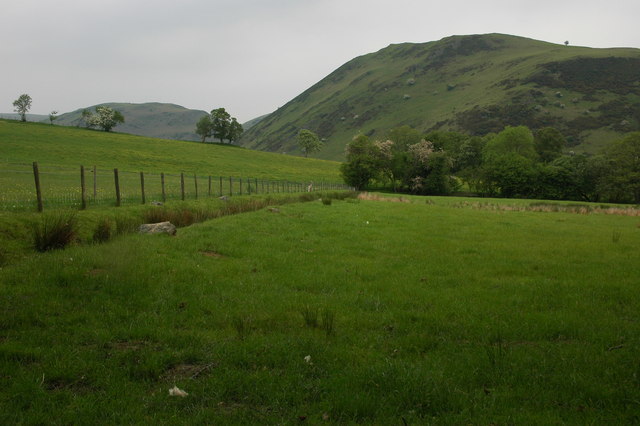
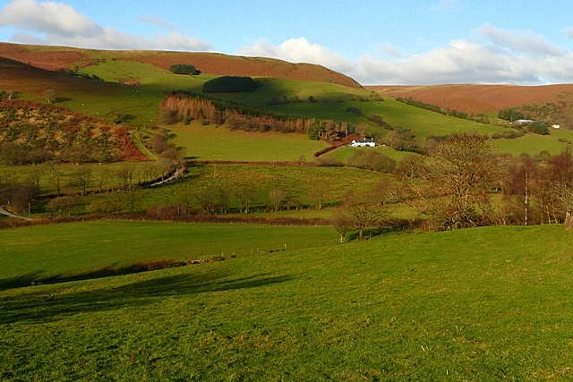
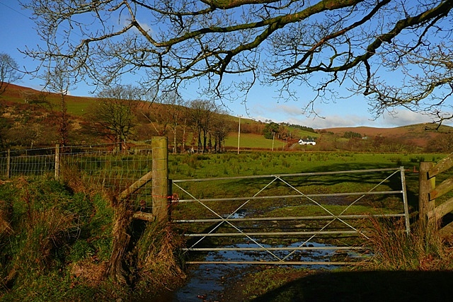
Allt Lwyd is a prominent hill located in the county of Brecknockshire, Wales. With an elevation of 610 meters (2,000 feet), it is classified as a mountain. Situated in the southern part of the Brecon Beacons National Park, Allt Lwyd offers breathtaking panoramic views of the surrounding landscape.

The hill is composed mainly of sandstone and shale, which gives it a distinctive reddish-brown color. Its slopes are covered with a diverse range of vegetation, including grasses, heather, and scattered patches of woodland. The lower parts of the hill are characterized by sheep-grazed pastures, while the upper reaches are more rugged and rocky, providing a challenging terrain for hikers and climbers.

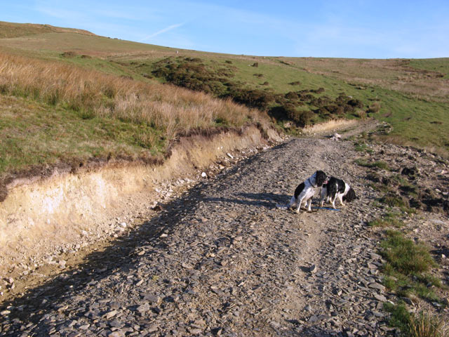
Allt Lwyd is a popular destination for outdoor enthusiasts, attracting walkers, runners, and nature lovers. The hill is crisscrossed with a network of footpaths and trails, allowing visitors to explore its natural beauty. The ascent to the summit offers rewarding views of the surrounding countryside, including the nearby peaks of Pen y Fan and Corn Du.

The hill is home to a variety of wildlife, and fortunate visitors may spot birds of prey such as buzzards and kestrels soaring above. Additionally, small mammals like rabbits and hares can occasionally be seen darting across the landscape.

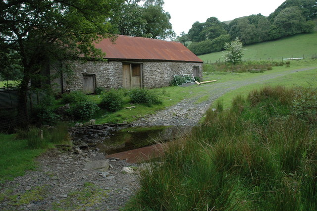
Allt Lwyd is easily accessible, with a car park located at its base, and is a must-visit destination for those seeking to immerse themselves in the scenic wonders of Brecknockshire.

If you have any feedback on the listing, please let us know in the comments section below.

Allt Lwyd Images

Images are sourced within 2km of 52.17656/-3.5880217 or Grid Reference SN9154. Thanks to Geograph Open Source API. All images are credited.

Moelydd summit  Rounded, bald hills (moelydd) dominate the edge of the moorland. This summit hardly looks like one when viewed against the nearby peak of Gelli Faenog.
Moelydd summit
Rounded, bald hills (moelydd) dominate the edge of the moorland. This summit hardly looks like one when viewed against the nearby peak of Gelli Faenog.
Cwm Gwnfel Looking down from the shoulder of the hill into Cwm Gwnfel, a very quiet and desolate place with an intriguing rock outcrop pattern, possibly folded strata or a landslip.
Cwm Gwnfel
Looking down from the shoulder of the hill into Cwm Gwnfel, a very quiet and desolate place with an intriguing rock outcrop pattern, possibly folded strata or a landslip.
Rushy summit The top of the ridge shown as Banc Du on the map. Flatter, poorly-drained land is being claimed by rushes.
Rushy summit
The top of the ridge shown as Banc Du on the map. Flatter, poorly-drained land is being claimed by rushes.
Track cutting Considerable effort has been expended in improving the informal track which must cross a small stream here. Rushes on the bank suggest that this was also a very wet and boggy area.
Track cutting
Considerable effort has been expended in improving the informal track which must cross a small stream here. Rushes on the bank suggest that this was also a very wet and boggy area.
View from the summit Deep shadow in Cwm Dulas accentuates the curious, billowy nature of the terrain here.
View from the summit
Deep shadow in Cwm Dulas accentuates the curious, billowy nature of the terrain here.
Farmland in Cwmdulas Viewed from a bridleway near Tyn-y-clyn, the hill across the valley is Y Garth.
Farmland in Cwmdulas
Viewed from a bridleway near Tyn-y-clyn, the hill across the valley is Y Garth.
Farm building in Cwm Gwnfel Farm building beside Nant Gwnfel which is forded in the foreground by a footpath, albeit like many in this area signposted.
Farm building in Cwm Gwnfel
Farm building beside Nant Gwnfel which is forded in the foreground by a footpath, albeit like many in this area signposted.
Waterfall on Nant Gwnfel
Nant Gwnfel Waterfall on Nant Gwnfel
Nant Gwnfel
Waterfall on Nant Gwnfel
Towards Troedrhiw Taken from the lane that crosses the south-western corner of the square and can be seen winding through the picture towards the farm Troedrhiw, the white building just right of centre.  These are mainly sheep pastures.
Towards Troedrhiw
Taken from the lane that crosses the south-western corner of the square and can be seen winding through the picture towards the farm Troedrhiw, the white building just right of centre. These are mainly sheep pastures.
Near Troedrhiw The track climbs from a lane that crosses the middle of the square.  The woodland is low and scrubby.  The track reaches access land at the tree on the left from where the land rises further towards the summit of Gribyn.
Near Troedrhiw
The track climbs from a lane that crosses the middle of the square. The woodland is low and scrubby. The track reaches access land at the tree on the left from where the land rises further towards the summit of Gribyn.
View from the slopes of Gribyn The view is down the steep western slope of Gribyn.  This is all bracken covered on open access land.  The disused Chwarel Penygeulan (quarry) can be seen clearly.  An abandoned house stand close by, permanently in the shadow of the northern slope of Garn Wen, whilst the river Afon Cammarch can just be seen to the left.  My car is somewhere down there too, at the road end.
View from the slopes of Gribyn
The view is down the steep western slope of Gribyn. This is all bracken covered on open access land. The disused Chwarel Penygeulan (quarry) can be seen clearly. An abandoned house stand close by, permanently in the shadow of the northern slope of Garn Wen, whilst the river Afon Cammarch can just be seen to the left. My car is somewhere down there too, at the road end.
Approaching Bryn The square is remote moorland like this, with wet sections in the lower parts and on the flat tops.  The driest ground is on the slopes, such as the climb towards Bryn in the middle distance.
Approaching Bryn
The square is remote moorland like this, with wet sections in the lower parts and on the flat tops. The driest ground is on the slopes, such as the climb towards Bryn in the middle distance.
Southern slopes of Bryn Taken from the south-eastern corner of the square, the moorland on the horizon is Bryn in the north of the square.  The forestry takes up much of the middle part, with Cwm Llednant this side of it.  The intervening moorland is Llethr Melyn with Cwm Sychnant closest to the camera.
Southern slopes of Bryn
Taken from the south-eastern corner of the square, the moorland on the horizon is Bryn in the north of the square. The forestry takes up much of the middle part, with Cwm Llednant this side of it. The intervening moorland is Llethr Melyn with Cwm Sychnant closest to the camera.
Towards Cefn-hafdref The farm in the western part of the square.  Behind the land rises towards the access moorland of Gribyn.
Towards Cefn-hafdref
The farm in the western part of the square. Behind the land rises towards the access moorland of Gribyn.
Towards Troedrhiw Lowland wet pasture gradually gives way to upland pasture and moorland above.
Towards Troedrhiw
Lowland wet pasture gradually gives way to upland pasture and moorland above.
Plantation near Gilwern This partly felled plantation looks to offer a tempting way onto the moorland, but there is no public access through here.  The land rises very steeply.
Plantation near Gilwern
This partly felled plantation looks to offer a tempting way onto the moorland, but there is no public access through here. The land rises very steeply.
Pasture at Gilwern The land below the road is sheep pasture, dropping gently towards the river.  There is a large population of pheasants in the area as well.
Pasture at Gilwern
The land below the road is sheep pasture, dropping gently towards the river. There is a large population of pheasants in the area as well.
Show me another place!

Allt Lwyd is located at Grid Ref: SN9154 (Lat: 52.17656, Lng: -3.5880217)

Unitary Authority: Powys

Police Authority: Dyfed Powys

What 3 Words

///grocers.gurgling.passport. Near Llwyn-Madoc, Powys

Nearby Locations

Allt Lwyd

Related Wikis

Beulah, Powys

Beulah is a village in southern Powys, Wales, in the community of Treflys, lying on the Afon Cammarch. The village sits astride the main A483 road about...

Treflys

Treflys is a community in the county of Powys, Wales, and is 49.9 miles (80.4 km) from Cardiff and 154.4 miles (248.5 km) from London. In 2011 the population...

Garth Bank Quarry

Garth Bank Quarry is a Site of Special Scientific Interest in Brecknock, Powys, Wales. The Countryside Council for Wales describes the significance of...

Llanafan Fawr

Llanafan Fawr is a village and community and ecclesiastical parish in Powys, Wales. Located in the former cantref of Buellt (Builth) and historic county...

Have you been to Allt Lwyd?

Leave your review of Allt Lwyd below (or comments, questions and feedback).