Bossington Hill
Hill, Mountain in Somerset Somerset West and Taunton
England
Bossington Hill

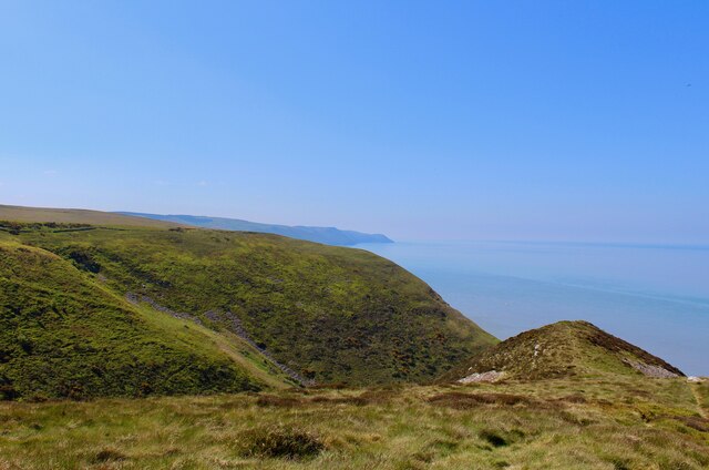
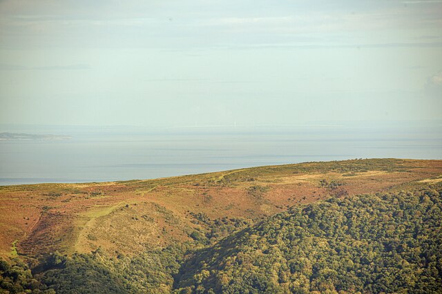
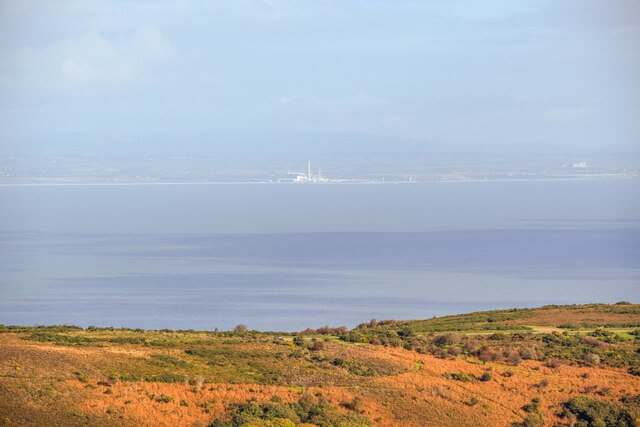
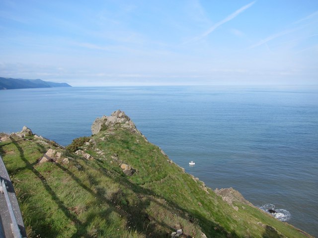
Bossington Hill is a prominent hill located in Somerset, England. It forms part of the picturesque Exmoor National Park, renowned for its outstanding natural beauty and diverse wildlife. With an elevation of 517 meters (1,696 feet), Bossington Hill stands as one of the highest points in the region, offering breathtaking panoramic views of the surrounding countryside.
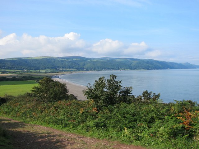
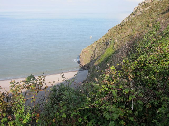
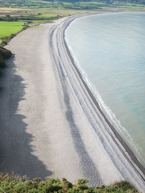
This hill is a popular destination for outdoor enthusiasts, attracting hikers, walkers, and nature lovers alike. Its well-maintained footpaths and trails make it easily accessible for visitors of all abilities. The landscape of Bossington Hill is characterized by rolling grassy slopes, heather-covered moorland, and ancient woodlands, providing a rich and diverse habitat for a variety of plant and animal species.
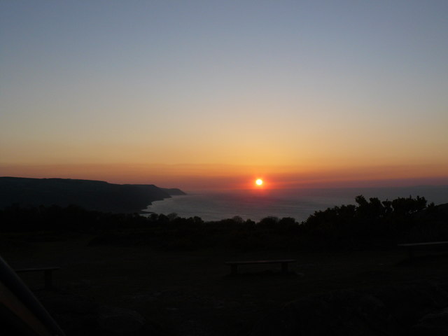
At its peak, the hill offers stunning vistas that stretch across the Bristol Channel to the Welsh coastline, and on clear days, even as far as the Brecon Beacons. The striking natural beauty of the area has inspired artists and poets throughout the years, and it continues to captivate visitors with its tranquil and serene atmosphere.
Bossington Hill is also steeped in history, with evidence of human occupation dating back thousands of years. The nearby Iron Age hillfort of Selworthy Beacon serves as a reminder of the area's ancient past. Visitors to the hill can explore these historic sites while immersing themselves in the natural beauty of the surroundings.
Overall, Bossington Hill in Somerset stands as a captivating destination, offering a unique blend of breathtaking landscapes, rich history, and abundant wildlife.
If you have any feedback on the listing, please let us know in the comments section below.
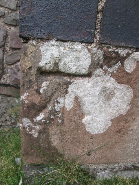
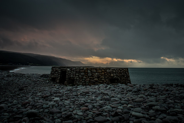
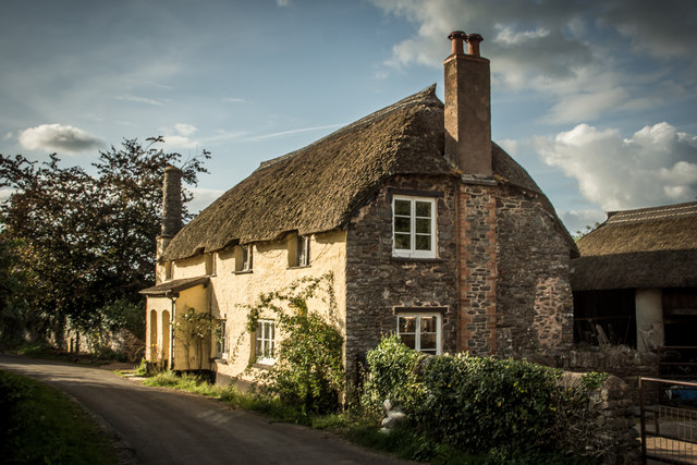
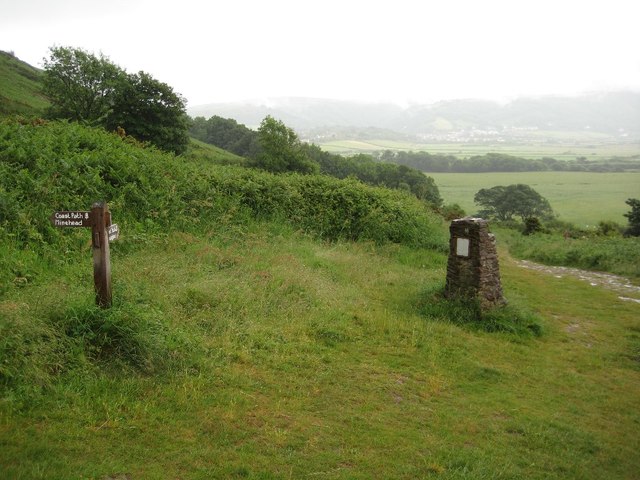
Bossington Hill Images
Images are sourced within 2km of 51.22478/-3.5720069 or Grid Reference SS9048. Thanks to Geograph Open Source API. All images are credited.

Bossington Hill is located at Grid Ref: SS9048 (Lat: 51.22478, Lng: -3.5720069)
Administrative County: Somerset
District: Somerset West and Taunton
Police Authority: Avon and Somerset
What 3 Words
///forge.guitars.curious. Near Porlock, Somerset
Nearby Locations
Related Wikis
River Aller
The River Aller is a small river on Exmoor in Somerset, England. It rises as several small streams around Tivington and Huntscott and flows through the...

Lynch Chapel Of Ease
The Anglican Lynch Chapel Of Ease in West Lynch, Selworthy, Somerset, England was built around 1530. It is a Grade II* listed building. == History == The...

Hurlstone Point
Hurlstone point (grid reference SS898492) is a promontory of land between Porlock Weir and Minehead in the Exmoor National Park on the coast of Somerset...
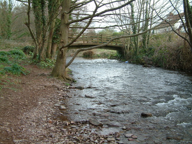
River Horner
The River Horner, also known as Horner Water, rises near Luccombe on Exmoor, Somerset, and flows past Porlock into Porlock Bay near Hurlstone Point on...
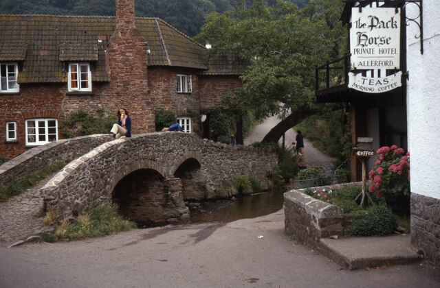
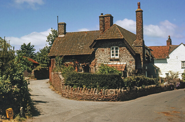
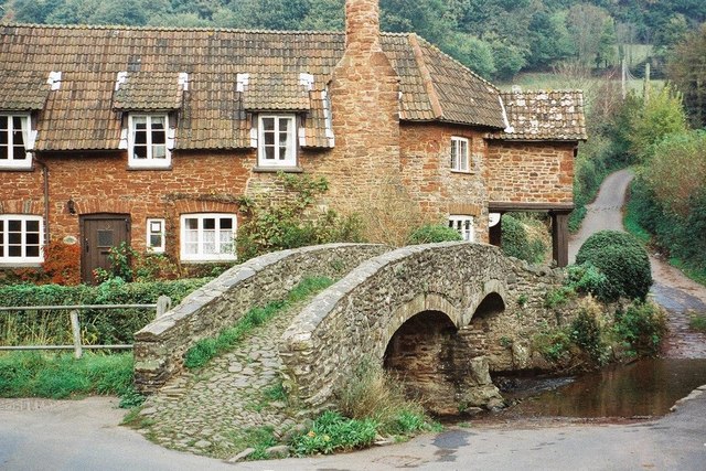
Allerford
Allerford is a village in the county of Somerset, England, located within Exmoor National Park, and is part of the parish of Selworthy in the district...

West Somerset Rural Life Museum and Victorian School
The West Somerset Rural Life Museum is a small museum in Allerford, Somerset, England. The building was built in 1821 as the village school and was closed...
Selworthy Beacon
Selworthy Beacon is a hill and Marilyn of Exmoor in Somerset, England. It lies within the boundaries of Exmoor National Park, to the north of the village...

Coleridge Way
The Coleridge Way is a 51-mile (82 km) long-distance trail in Somerset and Devon, England. It was opened in April 2005, and the route links several sites...
Nearby Amenities
Located within 500m of 51.22478,-3.5720069Have you been to Bossington Hill?
Leave your review of Bossington Hill below (or comments, questions and feedback).