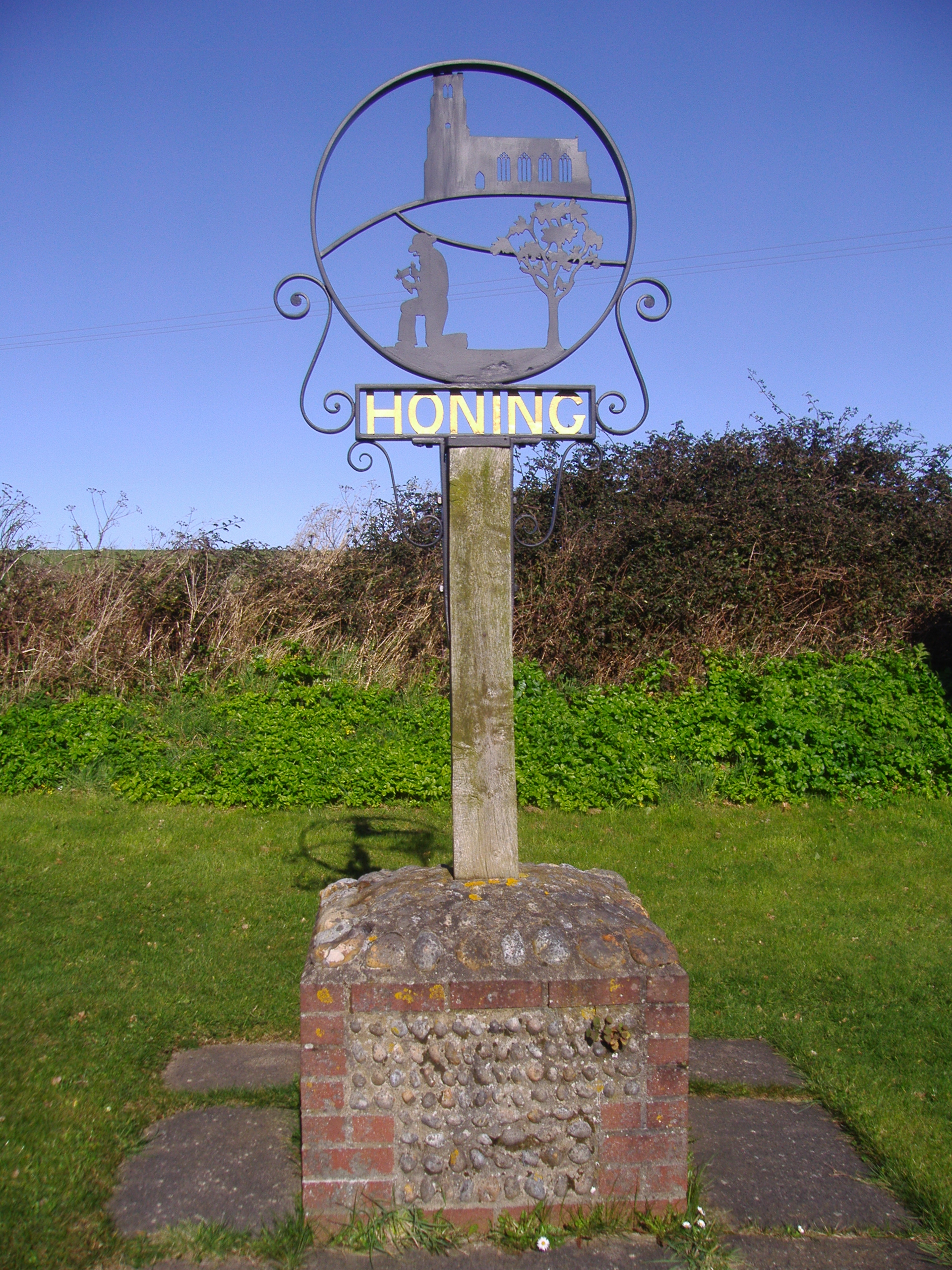
Honing
Settlement in Norfolk North Norfolk
England
Honing

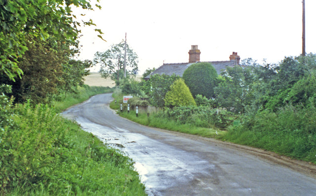
Honing is a small village located in the county of Norfolk, England. Situated about 14 miles northeast of Norwich, it falls within the North Norfolk district. With a population of around 150 people, Honing is a quintessential rural community known for its picturesque landscapes and peaceful atmosphere.
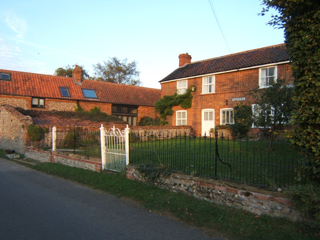
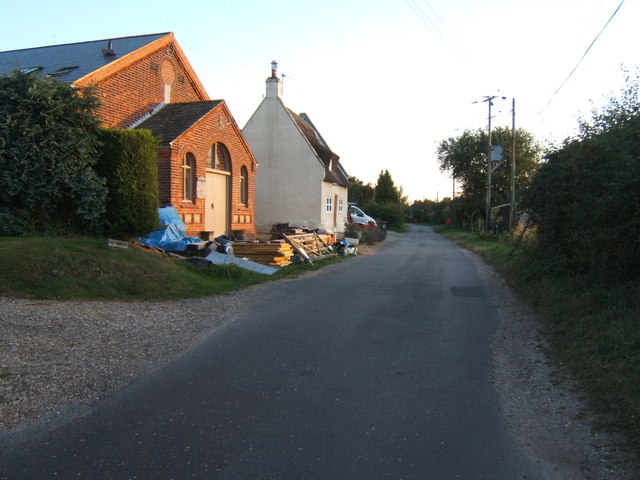
The village is characterized by its traditional Norfolk architecture, featuring a mix of thatched cottages, red-brick houses, and historic buildings. Honing is surrounded by fertile farmland, which contributes to its agricultural heritage. The village's economy is primarily based on farming, with crops like wheat, barley, and sugar beet being grown in the surrounding fields.
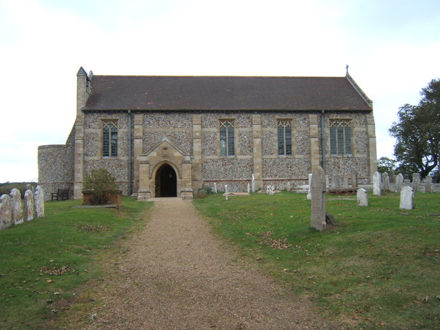
Honing boasts a strong sense of community, evidenced by its active village hall, where residents gather for various social events and activities. The village also has a charming church, St. Peter and St. Paul, which dates back to the 14th century. This beautiful medieval building attracts visitors who appreciate its architectural beauty and historical significance.
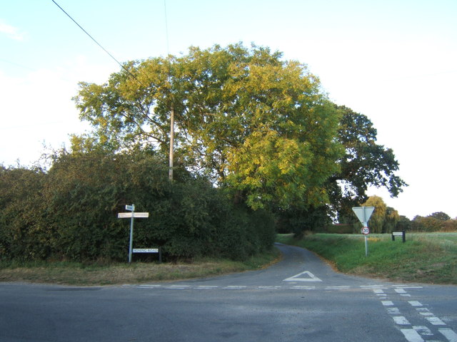
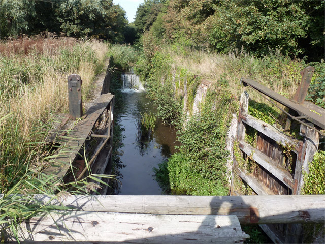
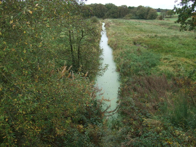
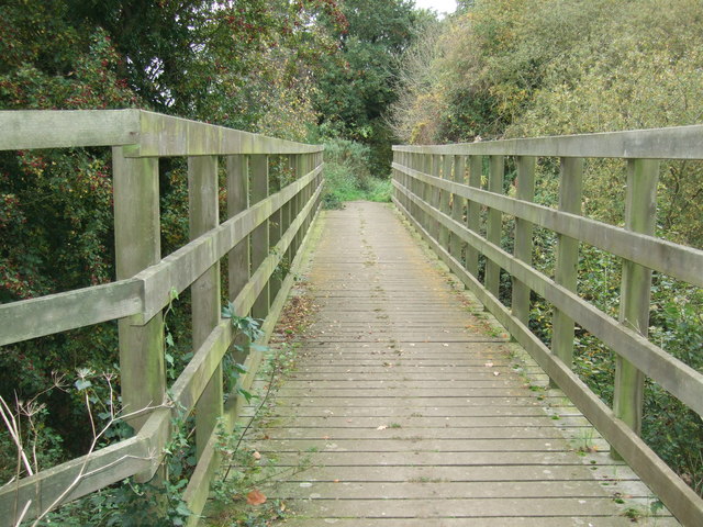
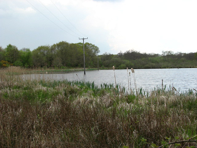
Nature lovers will find plenty to explore in the surrounding area. Honing is located near the Norfolk Broads, a network of rivers, lakes, and marshes that are a haven for wildlife and a popular destination for boating and birdwatching enthusiasts. The village is also within easy reach of the coast, with sandy beaches and nature reserves just a short drive away.
Overall, Honing offers a tranquil escape from the bustling city life, providing residents and visitors alike with a charming rural experience and a close connection to the natural beauty of Norfolk.
If you have any feedback on the listing, please let us know in the comments section below.
Honing Images
Images are sourced within 2km of 52.797167/1.450319 or Grid Reference TG3227. Thanks to Geograph Open Source API. All images are credited.


Honing is located at Grid Ref: TG3227 (Lat: 52.797167, Lng: 1.450319)
Administrative County: Norfolk
District: North Norfolk
Police Authority: Norfolk
What 3 Words
///dizziness.blushed.branched. Near North Walsham, Norfolk
Nearby Locations
Related Wikis
Honing, Norfolk
Honing is a village and a civil parish in the English county of Norfolk. The village is 15 miles (24 km) north-northeast of Norwich, 13 miles (21 km) south...
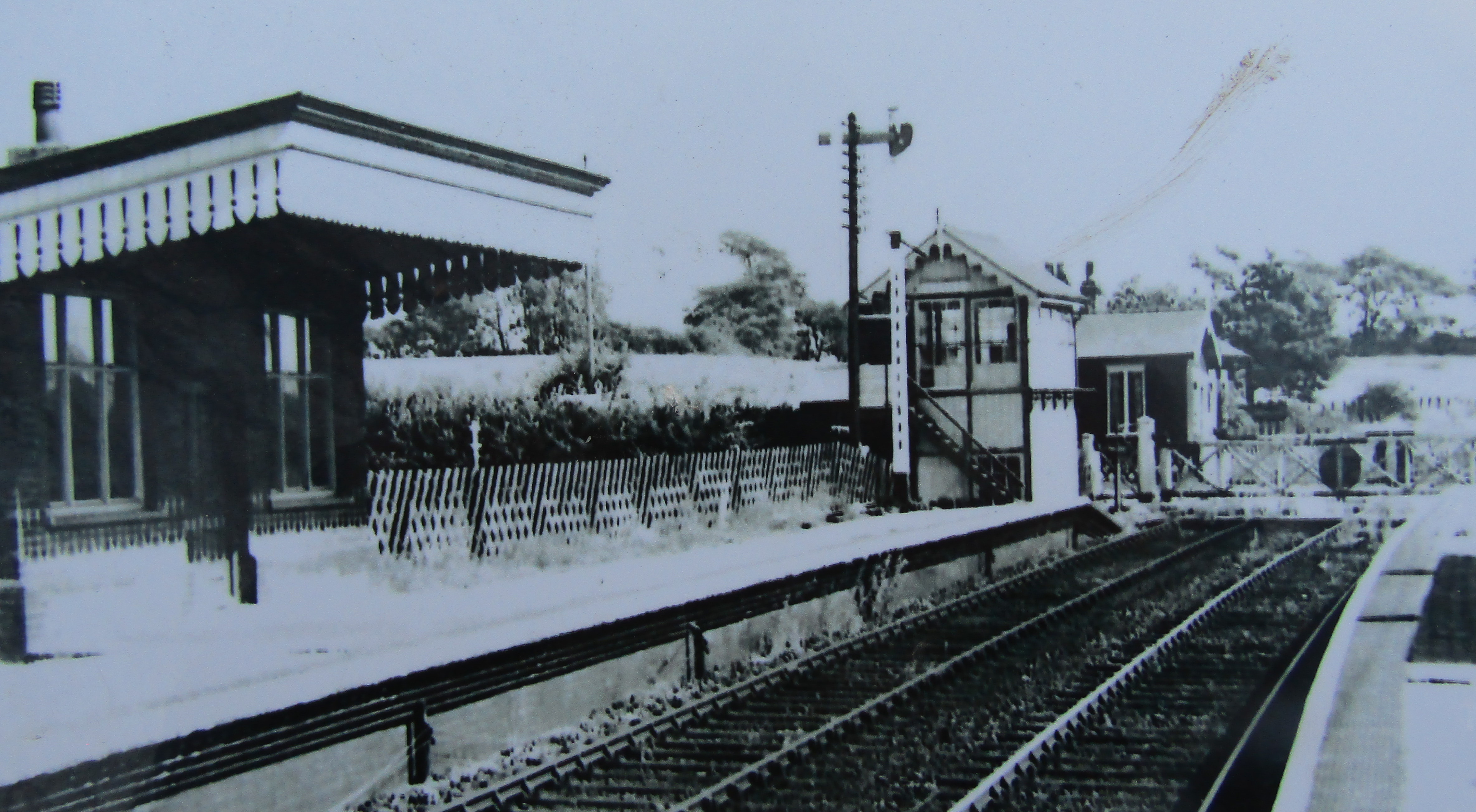
Honing railway station
Honing railway station was a station in Norfolk, England, serving the small village of Honing. It was on the Midland and Great Northern Joint Railway between...
East Ruston Common
East Ruston Common is a 34.5-hectare (85-acre) biological Site of Special Scientific Interest south-east of North Walsham om Norfolk.This is an area of...

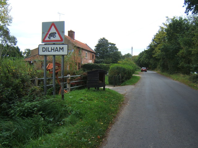
Dilham Castle
Dilham Castle, also called Dilham Hall, is situated in the village of Dilham, near Stalham in Norfolk, England. == Details == Dilham Castle was built in...
Nearby Amenities
Located within 500m of 52.797167,1.450319Have you been to Honing?
Leave your review of Honing below (or comments, questions and feedback).