Honiley
Settlement in Warwickshire Warwick
England
Honiley
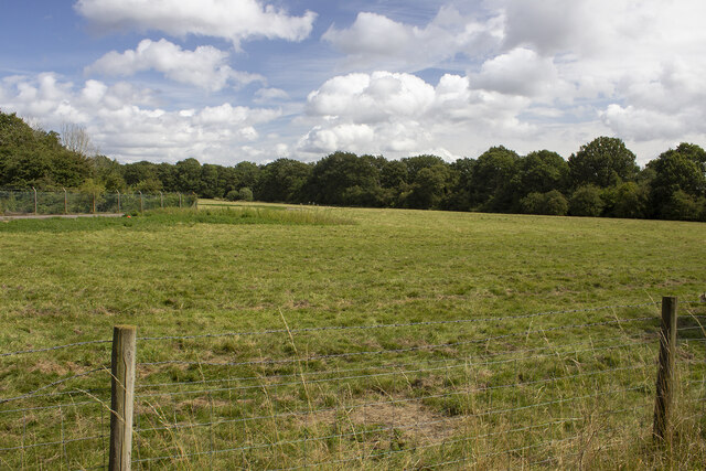
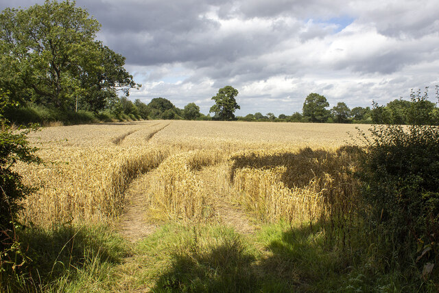
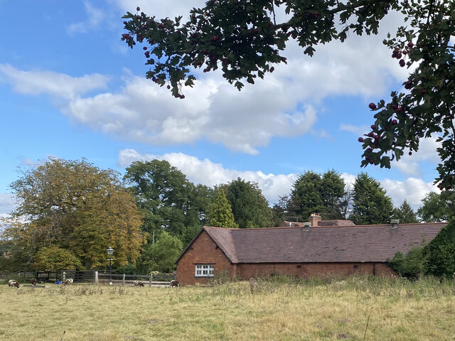
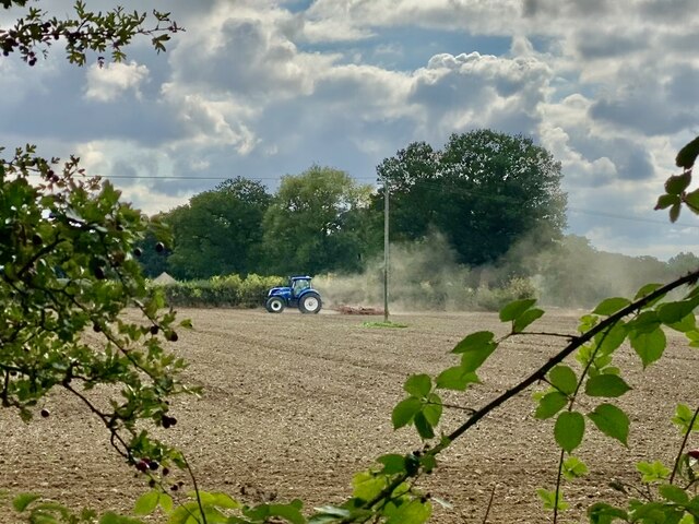
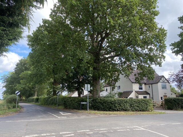
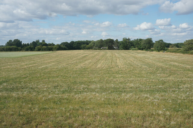
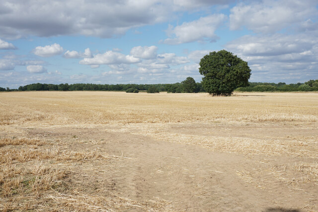
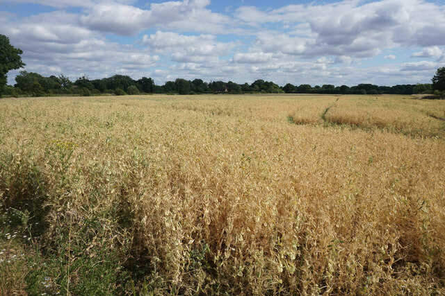
Honiley is a small village located in the county of Warwickshire, England. Situated approximately 7 miles southeast of the town of Warwick, it falls within the Stratford-on-Avon district. The village is surrounded by picturesque countryside, offering stunning views of the rolling hills and green landscapes that typify the region.
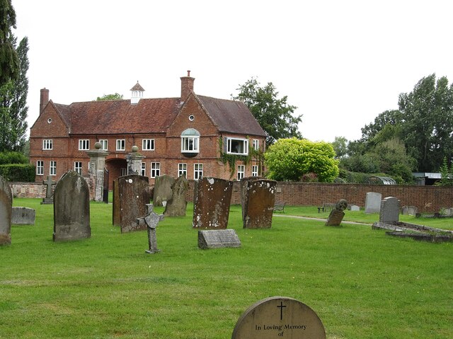
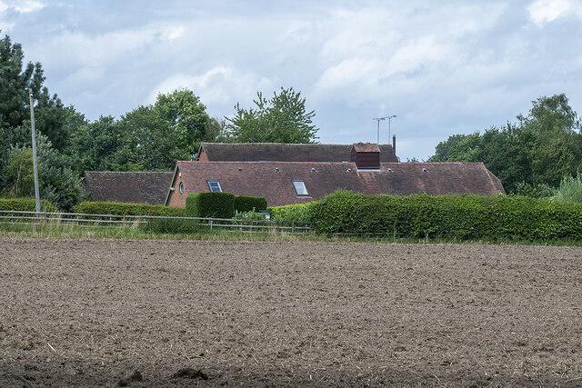
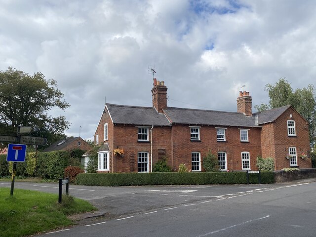
Honiley has a rich history, with evidence of human settlement dating back to Roman times. In the Domesday Book, it is mentioned as "Hanlei", indicating its long-standing presence in the area. The village is known for its charming, traditional architecture, with many houses and buildings dating back several centuries.
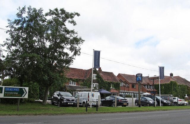
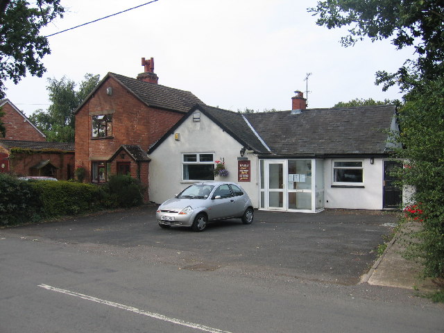
Despite its small size, Honiley offers various amenities to its residents and visitors. The village is home to a well-regarded primary school, providing education for local children. Additionally, there is a village hall that hosts community events and activities throughout the year, fostering a strong sense of community spirit.
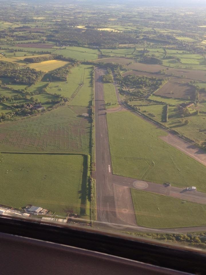
A notable feature of Honiley is its proximity to the Honiley Airfield, which was an active airfield during World War II. Today, the airfield has been converted into a popular venue for motorsport events and exhibitions, attracting enthusiasts from across the region.
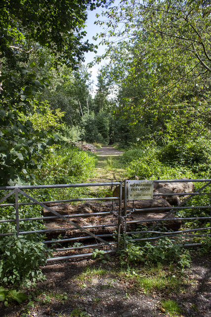
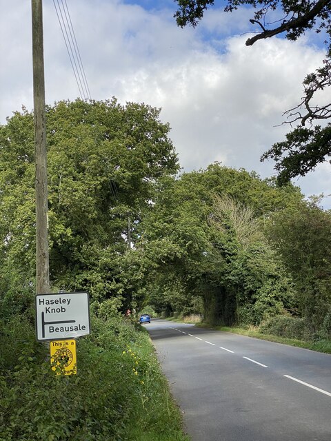
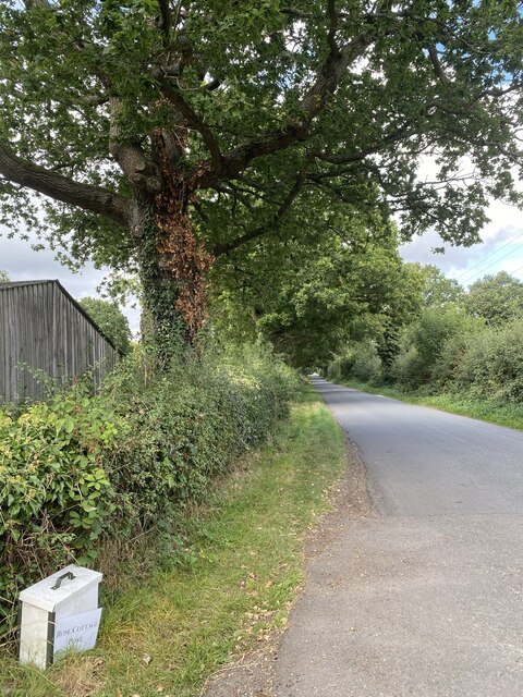
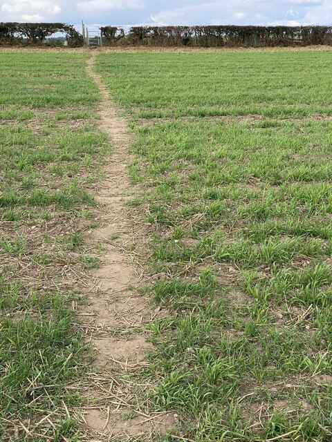
For those seeking recreational opportunities, the surrounding countryside provides ample opportunities for walks, hikes, and nature exploration. The village is well-connected to nearby towns and cities, with easy access to major road networks, including the M40 motorway, making it convenient for commuters and visitors alike.
In summary, Honiley is a charming village with a rich history and beautiful surroundings, offering a peaceful and idyllic place to live or visit.
If you have any feedback on the listing, please let us know in the comments section below.
Honiley Images
Images are sourced within 2km of 52.347052/-1.64409 or Grid Reference SP2472. Thanks to Geograph Open Source API. All images are credited.
Honiley is located at Grid Ref: SP2472 (Lat: 52.347052, Lng: -1.64409)
Administrative County: Warwickshire
District: Warwick
Police Authority: Warwickshire
What 3 Words
///prowling.spirit.flat. Near Wroxall, Warwickshire
Nearby Locations
Related Wikis


Nearby Amenities
Located within 500m of 52.347052,-1.64409Have you been to Honiley?
Leave your review of Honiley below (or comments, questions and feedback).