Bryn Mawr
Hill, Mountain in Montgomeryshire
Wales
Bryn Mawr

Bryn Mawr is a prominent hill located in the county of Montgomeryshire, Wales. Situated in the heart of the country, it is a notable landmark that offers breathtaking views and a serene environment. With an elevation of approximately 367 meters (1,204 feet), it stands tall and commands attention from the surrounding area.
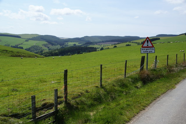
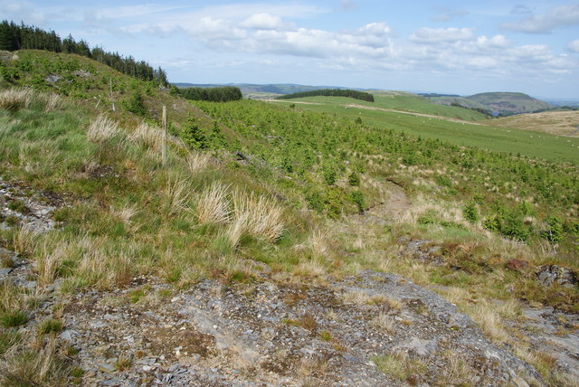
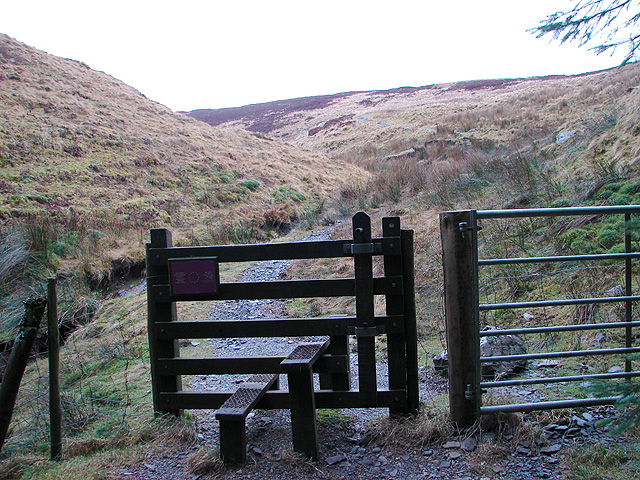
The hill is characterized by its rugged terrain, adorned with patches of lush greenery and occasional rocky outcrops. The slopes of Bryn Mawr are home to a diverse range of flora and fauna, making it an attractive destination for nature enthusiasts and hikers. Exploring the hill's winding paths and trails provides an opportunity to take in the picturesque beauty of the surrounding landscape.
Bryn Mawr boasts a rich history, with evidence of human activity dating back to ancient times. It has been a site of interest for archaeologists, who have discovered remnants of ancient settlements and burial grounds in the area. These findings provide valuable insights into the lives and cultures of the people who once inhabited the region.
Visitors to Bryn Mawr can enjoy a peaceful and tranquil atmosphere, away from the hustle and bustle of city life. The hill offers a perfect escape for those seeking solitude or a chance to reconnect with nature. Whether it's a leisurely stroll or a more challenging hike, Bryn Mawr has something to offer for everyone.
In conclusion, Bryn Mawr in Montgomeryshire is a captivating hill that showcases the natural beauty and historical significance of the region. Its scenic vistas, diverse wildlife, and rich history make it a must-visit destination for those exploring the area.
If you have any feedback on the listing, please let us know in the comments section below.
Bryn Mawr Images
Images are sourced within 2km of 52.466018/-3.6452788 or Grid Reference SN8886. Thanks to Geograph Open Source API. All images are credited.


Bryn Mawr is located at Grid Ref: SN8886 (Lat: 52.466018, Lng: -3.6452788)
Unitary Authority: Powys
Police Authority: Dyfed Powys
What 3 Words
///scope.dolls.boil. Near Staylittle, Powys
Nearby Locations
Related Wikis
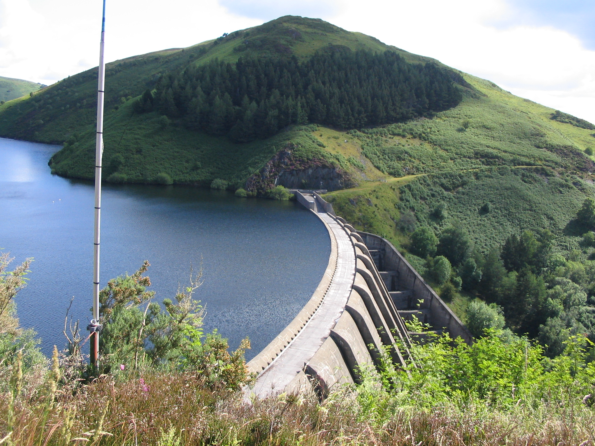
Clywedog Reservoir
The Clywedog Reservoir (Welsh: Llyn Clywedog) is a reservoir near Llanidloes, Wales on the head-waters of the River Severn. The construction of the reservoir...
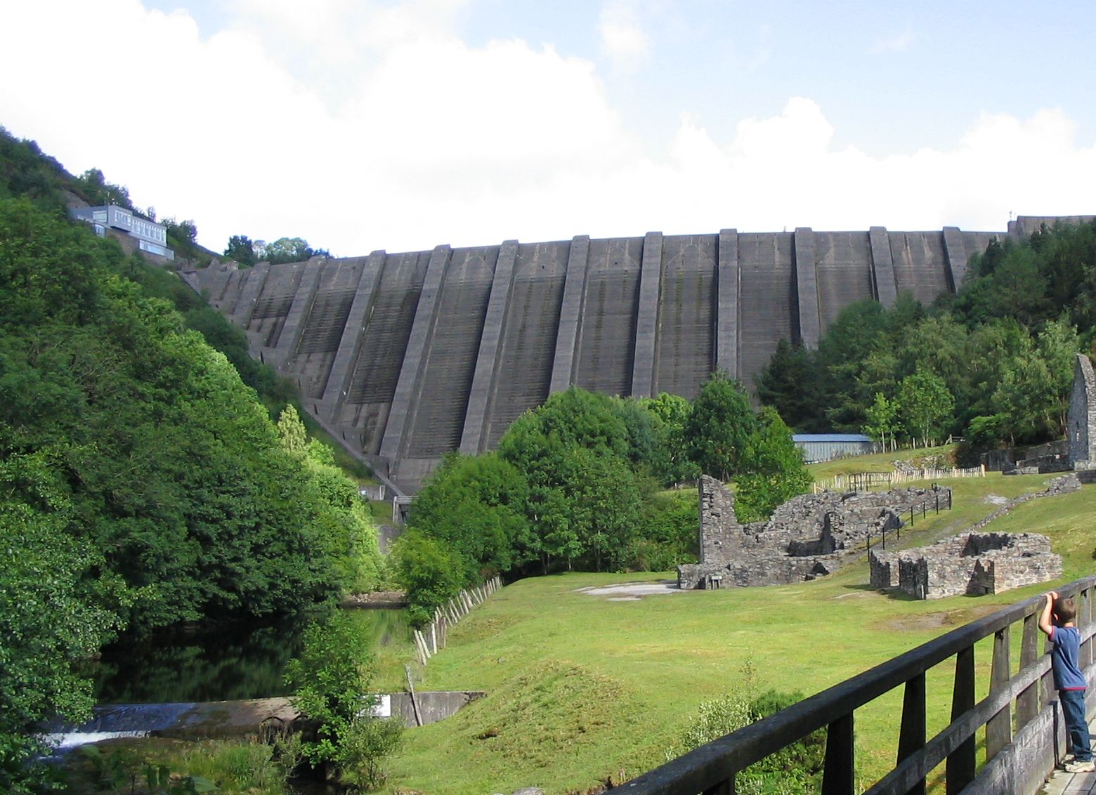
Bryntail lead mine
Bryntail lead mine is a disused lead mine near Llanidloes in Powys, Wales. Sited on the Afon Clywedog and in the shadow on the Clywedog reservoir dam,...

Hafren Forest
Hafren Forest lies north-west of Llanidloes, an ancient market town in Mid Wales. == Overview == The forest covers around 40 square kilometres (15 square...

Staylittle
Staylittle (Welsh: Penffordd-las), sometimes referred to colloquially as Y Stay or Y Stae, is a small village set in the shallow upland basin of the Afon...
Mwyngloddfa Nantiago
Mwyngloddfa Nantiago is a Site of Special Scientific Interest in Brecknock, Powys, Wales. It is located on the eastern flank of the Plynlimon range of...
Pumlumon Cwmbiga
Pumlumon Cwmbiga is a summit of the Pumlumon mountain range in Ceredigion, Wales. It is 620 metres (2,034) feet above sea level and is a deleted Nuttall...
Blaen-y-glyn
Blaen-y-glyn is an area in the community of Llangurig, Powys, Wales, which is 67 miles (108 km) from Cardiff and 160 miles (258 km) from London. Cadw-listed...
Llawryglyn
Llawr y Glyn (or Llawryglyn) is a hamlet in Powys, Wales. It lies about 10 miles west of the town of Newtown, in the historic county of Montgomeryshire...
Nearby Amenities
Located within 500m of 52.466018,-3.6452788Have you been to Bryn Mawr?
Leave your review of Bryn Mawr below (or comments, questions and feedback).