Holywell

Settlement in Warwickshire Warwick

England

Holywell

Bridge 44A Stratford Upon  Avon  Canal Bridge 44A is at Yarningale Common next to lock 34. At this lock there is an old lock keepers cottage with a barrel vaulted roof that has been incorporated into a modern house. The cottage is called Bucket Lock Cottage.
Bridge 44A Stratford Upon Avon Canal Credit: Nigel Mykura

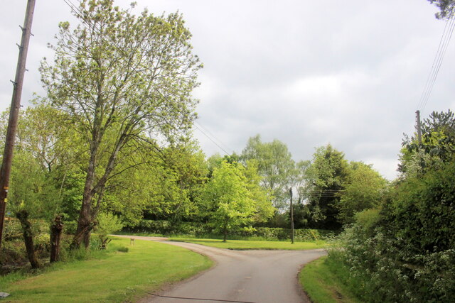
Holywell is a small village located in Warwickshire, England. It is situated approximately 4 miles north of Stratford-upon-Avon and is surrounded by picturesque countryside. The village is known for its tranquil atmosphere and charming rural setting.

One of the main attractions in Holywell is the Holy Well itself, which is believed to have been used for centuries as a place of pilgrimage and healing. The well is located in a beautiful wooded area and is said to have healing properties due to its mineral-rich waters. Visitors can still see the well and explore the surrounding area.

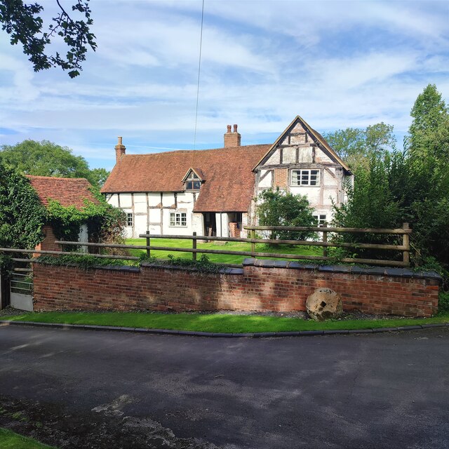
The village is also home to a number of historic buildings, including Holywell Farmhouse, which dates back to the 17th century and is a Grade II listed building. This farmhouse is a fine example of traditional Warwickshire architecture and adds to the village's charm.

Holywell is a close-knit community with a population of approximately 300 residents. It has a small primary school, a church, and a village hall, which serves as a hub for community events and gatherings. The village is known for its friendly and welcoming atmosphere, and residents often participate in local initiatives and activities.

Surrounded by beautiful countryside, Holywell offers ample opportunities for outdoor activities such as hiking and cycling. The village is also conveniently located near Stratford-upon-Avon, allowing residents and visitors to enjoy the amenities and cultural attractions of the nearby town.

Overall, Holywell is a peaceful and idyllic village that offers a serene escape from the hustle and bustle of city life. Its historic charm, natural beauty, and strong sense of community make it a delightful place to visit or call home in Warwickshire.

If you have any feedback on the listing, please let us know in the comments section below.
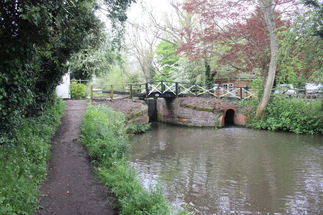
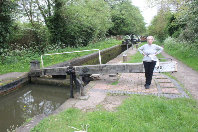
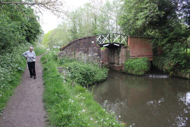
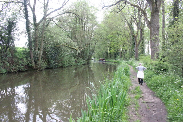
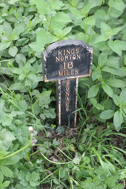
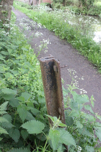
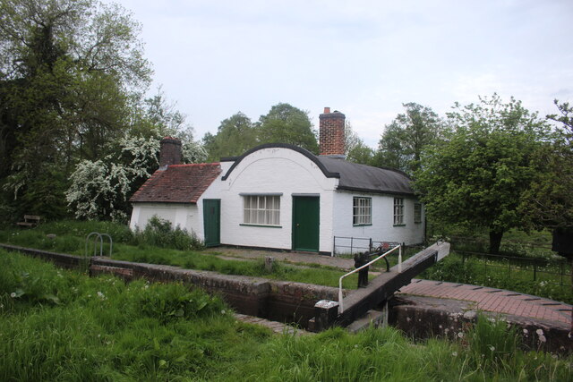
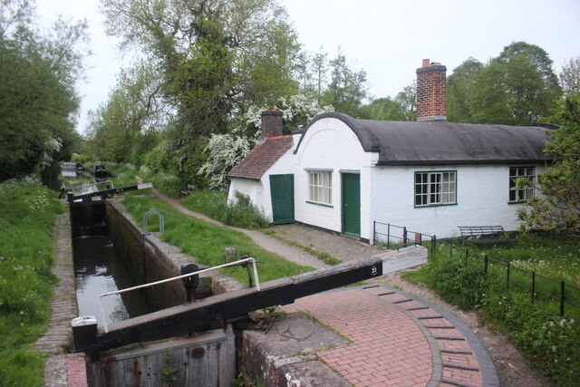
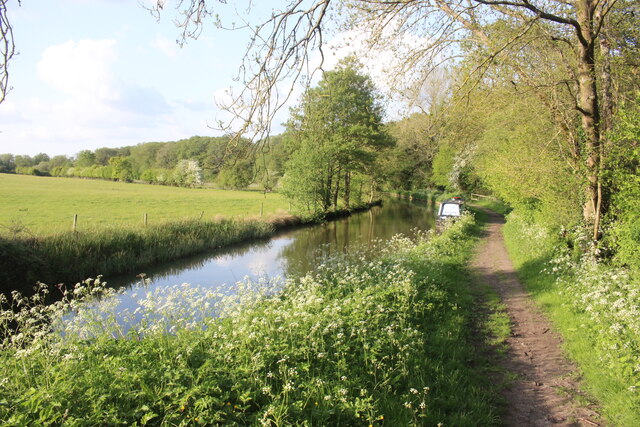
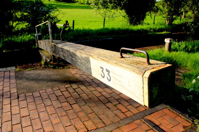
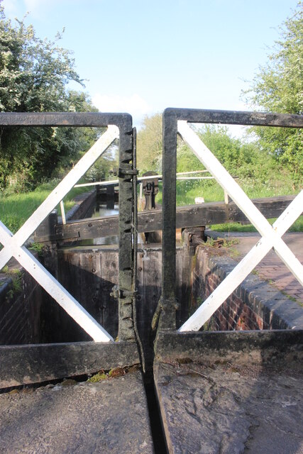
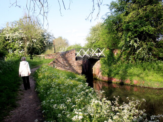
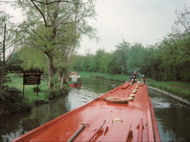
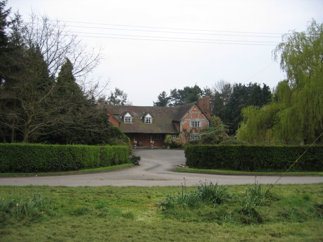
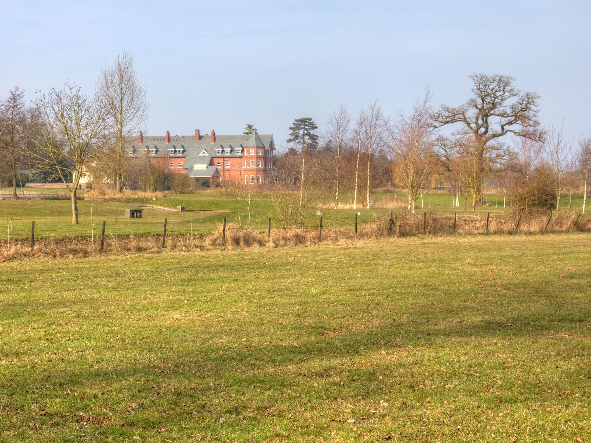
Holywell Images

Images are sourced within 2km of 52.29525/-1.710372 or Grid Reference SP1966. Thanks to Geograph Open Source API. All images are credited.

Bridge 44A Stratford Upon  Avon  Canal Bridge 44A is at Yarningale Common next to lock 34. At this lock there is an old lock keepers cottage with a barrel vaulted roof that has been incorporated into a modern house. The cottage is called Bucket Lock Cottage.
Bridge 44A Stratford Upon Avon Canal
Bridge 44A is at Yarningale Common next to lock 34. At this lock there is an old lock keepers cottage with a barrel vaulted roof that has been incorporated into a modern house. The cottage is called Bucket Lock Cottage.
Lock 35 Stratford upon Avon Canal Lock 35 is adjacent to Yarningale Farm and a footpath crosses the can by the small bridge at the far end of the lock.
Lock 35 Stratford upon Avon Canal
Lock 35 is adjacent to Yarningale Farm and a footpath crosses the can by the small bridge at the far end of the lock.
Bridge 45 Stratford upon Aven Canal Bridge 45 carries a footpath over the canal and is adjacent to lock 35. The bridge is split so that the canal tow rope can pass through the bridge.
Bridge 45 Stratford upon Aven Canal
Bridge 45 carries a footpath over the canal and is adjacent to lock 35. The bridge is split so that the canal tow rope can pass through the bridge.
Stratford upon Avon Canal This is the centre of the section between Lock 35 and Lock 36 between Preston Bagot and Yarningale.
Stratford upon Avon Canal
This is the centre of the section between Lock 35 and Lock 36 between Preston Bagot and Yarningale.
Stratford Upon Avon Canal Mile Marker This marker is between locks 33 and 34 and shows it is 16 miles to the northern terminus of the canal at Kings Norton.
Stratford Upon Avon Canal Mile Marker
This marker is between locks 33 and 34 and shows it is 16 miles to the northern terminus of the canal at Kings Norton.
Piece of Brunel's Wide Gauge Iron Rail on The Stratford Upon Avon Canal This "U" shaped iron channel which appears to have been used to hold a sign or something similar was at one time a rail that was used on Brunel's wide gauge GWR. When the gauge was reduced from 7ft to 4ft 8 1/2 inches large numbers of the rails were reused for other purposes. This may have come from the nearby line at Claverdon which was a mixed gauge line that opened as part of the Stratford Upon Avon Railway on 10 October 1860. When the wide gauge railways were dismantled, the iron rails were often used elsewhere. A large number of the rails were used in the construction of Clevedon pier.
Piece of Brunel's Wide Gauge Iron Rail on The Stratford Upon Avon Canal
This "U" shaped iron channel which appears to have been used to hold a sign or something similar was at one time a rail that was used on Brunel's wide gauge GWR. When the gauge was reduced from 7ft to 4ft 8 1/2 inches large numbers of the rails were reused for other purposes. This may have come from the nearby line at Claverdon which was a mixed gauge line that opened as part of the Stratford Upon Avon Railway on 10 October 1860. When the wide gauge railways were dismantled, the iron rails were often used elsewhere. A large number of the rails were used in the construction of Clevedon pier.
Lock Keeper's Cottage, Lock 31, Stratford Upon Avon Canal. This is a relatively unaltered barrel roofed lock keeprs cottage located next to the bridge in Lowsonford where the road to Shrewley crosses the canal.
Lock Keeper's Cottage, Lock 31, Stratford Upon Avon Canal.
This is a relatively unaltered barrel roofed lock keeprs cottage located next to the bridge in Lowsonford where the road to Shrewley crosses the canal.
Lock Keeper's Cottage Lock 31 Stratford Upon Avon Canal Barrel roofed cottage located adjacent to the canal lock. Photo taken from the bridge where Narrow Lane crosses the canal.
Lock Keeper's Cottage Lock 31 Stratford Upon Avon Canal
Barrel roofed cottage located adjacent to the canal lock. Photo taken from the bridge where Narrow Lane crosses the canal.
Stratford Upon Avon Canal This is in the middle of the long stretch between lock 33 and lock 32 of the canal.
Stratford Upon Avon Canal
This is in the middle of the long stretch between lock 33 and lock 32 of the canal.
Lock 33 Stratford Upon Avon Canal Traditional timber lock gate but the area around the lock gate has been repaved with red brick.
Lock 33 Stratford Upon Avon Canal
Traditional timber lock gate but the area around the lock gate has been repaved with red brick.
Split Bridge Lock 33 Stratford Upon Avon Canal The split bridge is where the towpath crossed from one side of the canal to the other and the split allowed the tow-rope to pass through the bridge. Over the years the sliding ropes wore deep grooves in the vertical members of the bridge. One or two of the grooves have cut nearly all the way through the vertical member and an iron plate has been bolted on the side of the member to prevent further wear and to reinforce it.
Split Bridge Lock 33 Stratford Upon Avon Canal
The split bridge is where the towpath crossed from one side of the canal to the other and the split allowed the tow-rope to pass through the bridge. Over the years the sliding ropes wore deep grooves in the vertical members of the bridge. One or two of the grooves have cut nearly all the way through the vertical member and an iron plate has been bolted on the side of the member to prevent further wear and to reinforce it.
Lock 33 Stratford Upon Avon Canal This shows the cross-over bridge with the open slot for horse tow ropes that is just next to the lock chamber.
Lock 33 Stratford Upon Avon Canal
This shows the cross-over bridge with the open slot for horse tow ropes that is just next to the lock chamber.
Road Junction in Holywell Holywell is a small village well off the beaten track just north of Claverdon.
Road Junction in Holywell
Holywell is a small village well off the beaten track just north of Claverdon.
Lowsonford Bridge
Lowsonford Bridge
Old House, Yarningale Lane
Yarningale lock and aqueduct Yarningale Lock on the Stratford-upon-Avon canal.  This lock is unusual in that immediately above the lock the canal crosses a small aqueduct, constructed  as an iron trough in the same style as its much longer cousin <a href="https://www.geograph.org.uk/photo/3786">SP1660 : Edstone Aqueduct</a> further down the canal at Bearley.
Yarningale lock and aqueduct
Yarningale Lock on the Stratford-upon-Avon canal. This lock is unusual in that immediately above the lock the canal crosses a small aqueduct, constructed as an iron trough in the same style as its much longer cousin SP1660 : Edstone Aqueduct further down the canal at Bearley.
Lowsonford The Stratford-upon-Avon canal passing the gardens of the Fleur de lys public house in Lowsonford
Lowsonford
The Stratford-upon-Avon canal passing the gardens of the Fleur de lys public house in Lowsonford
Holywell A typical Warwickshire timber framed building seen across the village green.
Holywell
A typical Warwickshire timber framed building seen across the village green.
Show me another place!

Holywell is located at Grid Ref: SP1966 (Lat: 52.29525, Lng: -1.710372)

Administrative County: Warwickshire

District: Warwick

Police Authority: Warwickshire

What 3 Words

///voting.gashes.overlooks. Near Henley in Arden, Warwickshire

Nearby Locations

Yarningale Common Holywell

Related Wikis

Ardencote Manor

Ardencote Manor is a hotel and former manor house located 0.5 miles (0.8 km) north of the village of Claverdon, Warwickshire, England. The manor was originally...
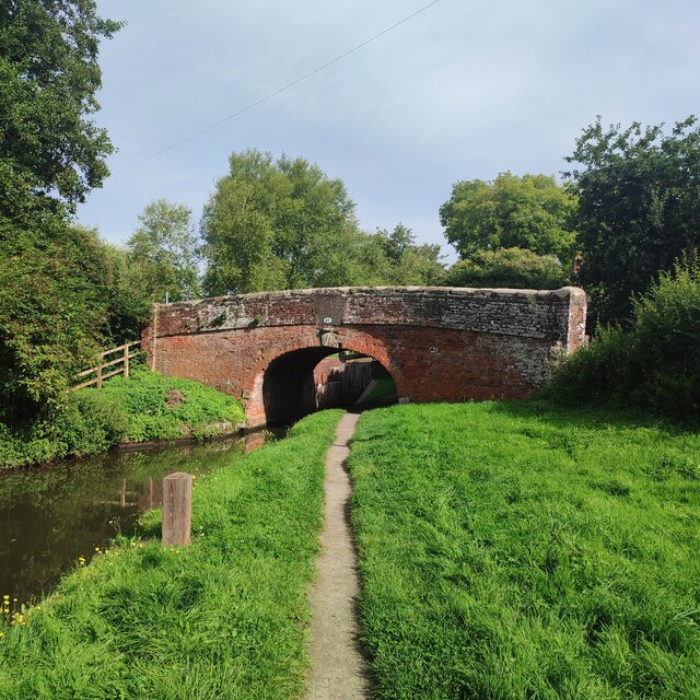
Yarningale Aqueduct

Yarningale Aqueduct is one of three aqueducts on a 4 miles (6 km) length of the Stratford-upon-Avon Canal in Warwickshire. It spans the Kingswood Brook...

Mercia Mudstone Group

The Mercia Mudstone Group is an early Triassic lithostratigraphic group (a sequence of rock strata) which is widespread in Britain, especially in the English...

Pinley Priory

Pinley Priory, also called Pinley Abbey, was a Cistercian nunnery in the parish of Rowington in Warwickshire, England. It was founded in the early 12th...

Nearby Amenities

Located within 500m of 52.29525,-1.710372
Material: wood
Power: pole
Source: bing
Lat/Long: 52.2953786/-1.7040798
Material: wood
Power: pole
Source: bing
Lat/Long: 52.2944706/-1.7050964
Material: wood
Power: pole
Source: bing
Lat/Long: 52.2936545/-1.7060365
Material: wood
Power: pole
Source: bing
Lat/Long: 52.2924881/-1.705842
Material: wood
Power: pole
Source: bing
Lat/Long: 52.2927653/-1.7070383
Material: wood
Power: pole
Source: bing
Lat/Long: 52.2930614/-1.7083217
Material: wood
Power: pole
Source: bing
Lat/Long: 52.2933838/-1.7097071
Material: wood
Power: pole
Ref: 931507
Source: wpd_opendata
Transformer: distribution
Lat/Long: 52.293643/-1.7109463
Material: wood
Power: pole
Source: bing
Lat/Long: 52.2938349/-1.7122069
Material: wood
Power: pole
Source: bing
Lat/Long: 52.2940227/-1.7133321
Material: wood
Power: pole
Source: bing
Lat/Long: 52.2941696/-1.7142507
Material: wood
Power: pole
Source: bing
Lat/Long: 52.2942631/-1.7147175
Material: wood
Power: pole
Source: bing
Lat/Long: 52.294414/-1.7156884
Material: wood
Power: pole
Source: bing
Lat/Long: 52.2946158/-1.7169625
Material: wood
Power: pole
Source: bing
Lat/Long: 52.2926603/-1.7149562
Material: wood
Power: pole
Source: bing
Lat/Long: 52.2934051/-1.714586
Power: pole
Source: bing
Lat/Long: 52.2912002/-1.7083874
Material: wood
Power: pole
Source: bing
Lat/Long: 52.2920205/-1.708366
Material: wood
Power: pole
Ref: 931509
Source: wpd_opendata
Transformer: distribution
Lat/Long: 52.2969976/-1.7069069
Material: wood
Power: pole
Source: bing
Lat/Long: 52.2972978/-1.7060767
Material: wood
Power: pole
Source: bing
Lat/Long: 52.2975635/-1.7052707
Material: wood
Power: pole
Source: bing
Lat/Long: 52.2973282/-1.7039779
Material: wood
Power: pole
Ref: 931505
Source: wpd_opendata
Transformer: distribution
Lat/Long: 52.2967827/-1.712577
Material: wood
Power: pole
Source: bing
Lat/Long: 52.296353/-1.7133978
Material: wood
Power: pole
Source: bing
Lat/Long: 52.2958723/-1.7143634
Material: wood
Power: pole
Source: bing
Lat/Long: 52.2953917/-1.7152914
Material: wood
Power: pole
Source: bing
Lat/Long: 52.2948668/-1.7155248
The data included in this document is from www.openstreetmap.org. The data is made available under ODbL.

Have you been to Holywell?

Leave your review of Holywell below (or comments, questions and feedback).