Banc-y-mor

Settlement in Cardiganshire

Wales

Banc-y-mor

Fields west of Cnwch Coch Enclosed grazing to the west of the village of Cnwch Coch.  The nameless stream running in the wooded ditch on the left soon joins the Nant Magwr, a tributary of the Afon Ystwyth.
Fields west of Cnwch Coch Credit: Rudi Winter

Banc-y-mor is a small village located in the county of Cardiganshire, Wales. Situated on the west coast of the country, it sits on the southern edge of Cardigan Bay. The village is nestled between the towns of Aberaeron and Aberystwyth, offering stunning views of the Irish Sea.

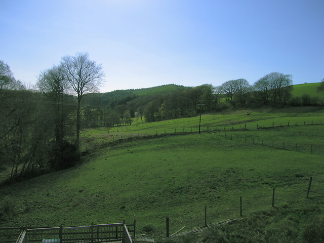
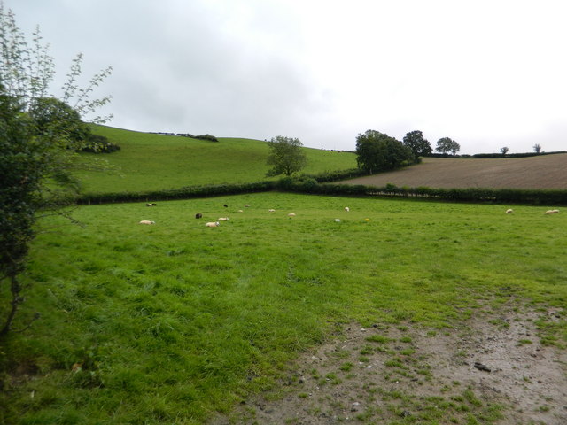
Banc-y-mor is predominantly a residential area with a population of around 500 people. The village is characterized by its picturesque surroundings, including beautiful beaches, rolling hills, and lush countryside. These natural landscapes make it a popular destination for outdoor enthusiasts and nature lovers.

The village is well-connected to nearby towns and cities, with good transport links including a nearby train station and regular bus services. This accessibility allows residents and visitors to explore the wider region and enjoy the amenities and attractions of larger towns.

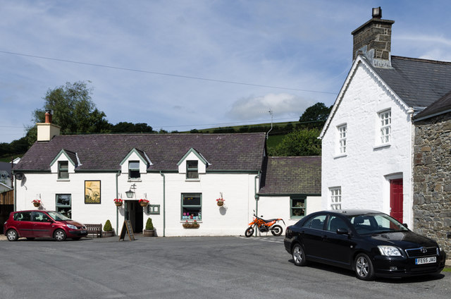
Banc-y-mor offers a quiet and peaceful lifestyle, away from the hustle and bustle of city life. The village has a strong sense of community, with various local events and activities taking place throughout the year. There are a few small shops and amenities in the village, but residents often travel to nearby towns for larger shopping trips and services.

Overall, Banc-y-mor is a charming and tranquil village in Cardiganshire, offering residents and visitors a chance to escape into the natural beauty of the Welsh coast.

If you have any feedback on the listing, please let us know in the comments section below.
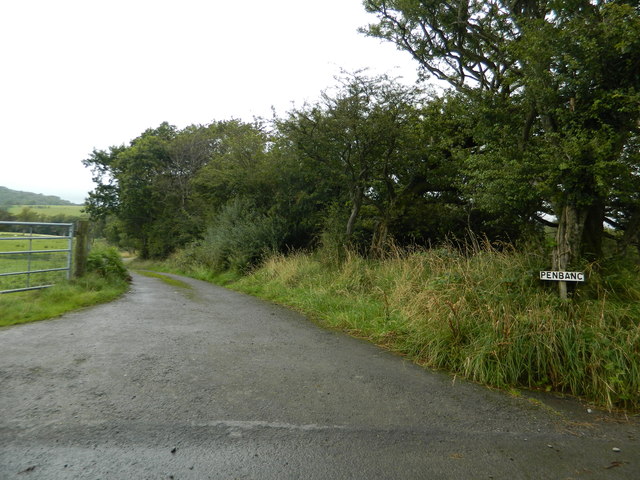
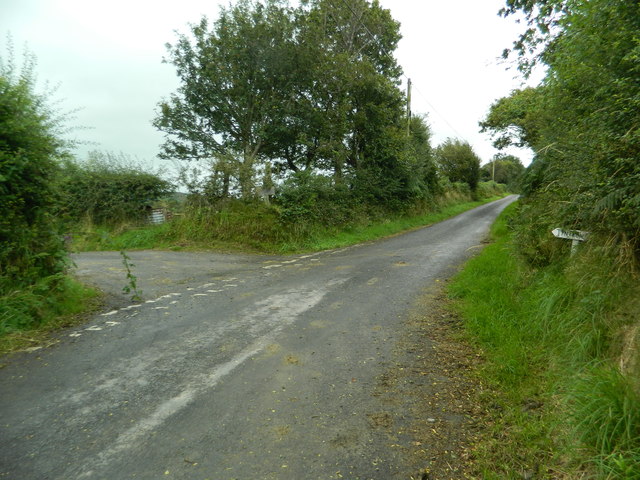
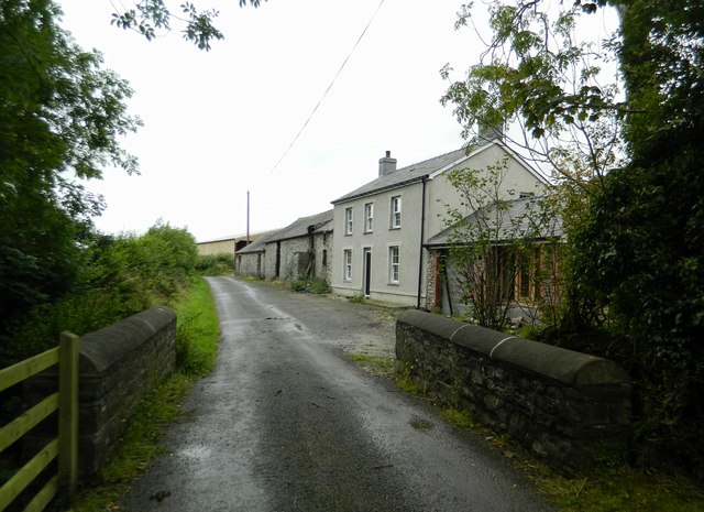
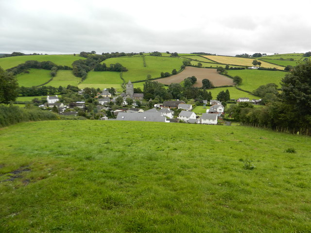
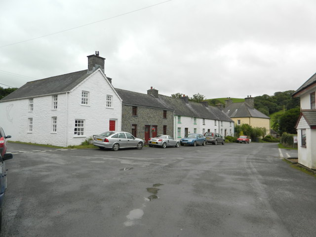
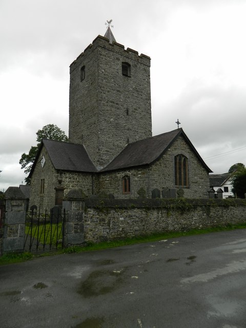
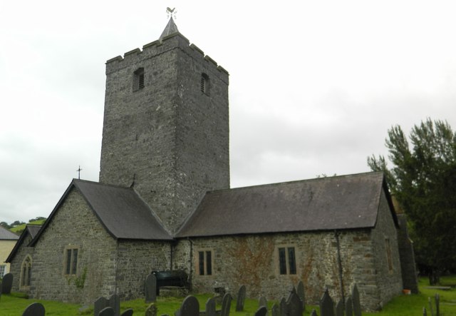
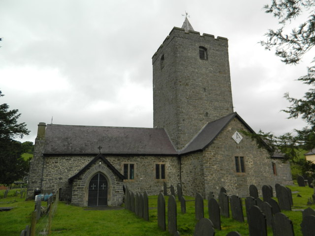
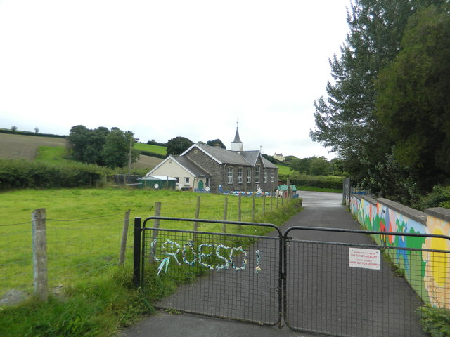
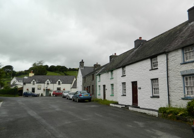
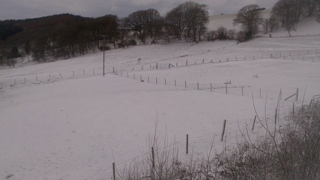
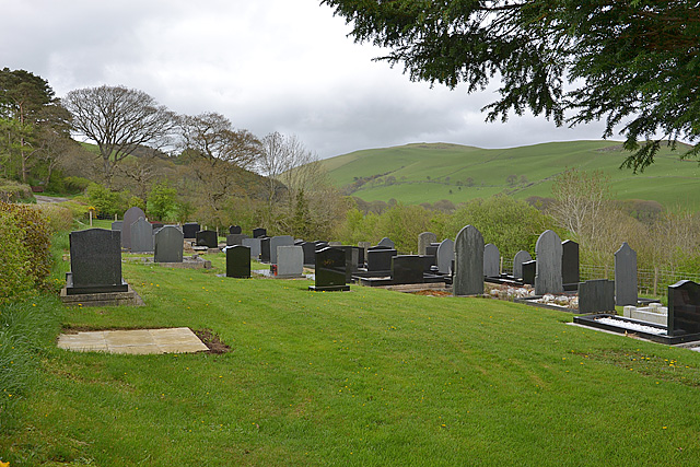
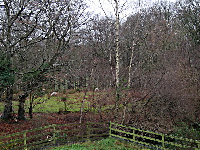
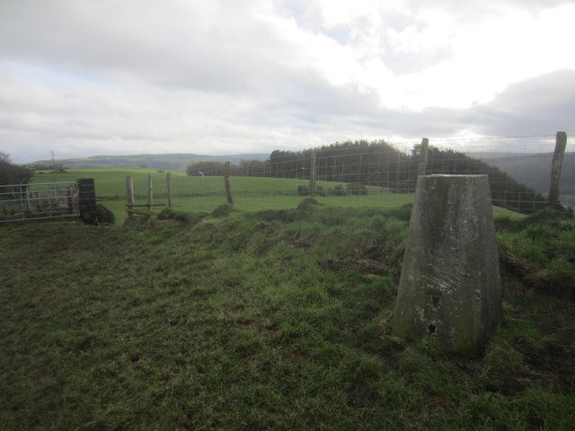
Banc-y-mor Images

Images are sourced within 2km of 52.361208/-3.957266 or Grid Reference SN6675. Thanks to Geograph Open Source API. All images are credited.

Fields west of Cnwch Coch Enclosed grazing to the west of the village of Cnwch Coch.  The nameless stream running in the wooded ditch on the left soon joins the Nant Magwr, a tributary of the Afon Ystwyth.
Fields west of Cnwch Coch
Enclosed grazing to the west of the village of Cnwch Coch. The nameless stream running in the wooded ditch on the left soon joins the Nant Magwr, a tributary of the Afon Ystwyth.
The track to Pen-y-banc
Pasture south of Llanfihangel-y-Creuddyn
The start of the lane to Tynfrondel, Llanfihangel-y-Creuddyn The sign pointing to Tynfrondel can just be seen in the hedge.
The start of the lane to Tynfrondel, Llanfihangel-y-Creuddyn
The sign pointing to Tynfrondel can just be seen in the hedge.
Pen-dre,and bridge across Afon Ceunant, Llanfihangel-y-Creuddyn
Looking down on Llanfihangel-y-Creuddyn
The village centre, Llanfihangel-y-Creuddyn
The Church of St Michael, Llanfihangel-y-Creuddyn Mihangel is the Welsh form of Michael, and the M mutates to an F after the Llan.(Compare the very common Llanfair, where Fair is a mutated form of Mair, i.e. Mary.)
The Church of St Michael, Llanfihangel-y-Creuddyn
Mihangel is the Welsh form of Michael, and the M mutates to an F after the Llan.(Compare the very common Llanfair, where Fair is a mutated form of Mair, i.e. Mary.)
The Church of St Michael, Llanfihangel-y-Creuddyn
The school, Llanfihangel-y-Creuddyn
The village centre, Llanfihangel-y-Creuddyn The building at the far side is the pub, "Y Ffarmers".(See advert on <a href="https://www.geograph.org.uk/photo/3089739">SN6677 : The roads to New Cross and Llanfihangel-y-Creuddyn</a>)
The village centre, Llanfihangel-y-Creuddyn
The building at the far side is the pub, "Y Ffarmers".(See advert on SN6677 : The roads to New Cross and Llanfihangel-y-Creuddyn)
The track to Sarnau Fawr
Snowy fields, Cnwch Coch Heavy snow had been forecast for the night, but most of it ended up in southeast Wales.  North Ceredigion got all the fun but little of the worry.
Snowy fields, Cnwch Coch
Heavy snow had been forecast for the night, but most of it ended up in southeast Wales. North Ceredigion got all the fun but little of the worry.
The cemetery, Cnwch Coch
Sheep pasture at Cnwch Coch A flock of sheep occupy a long narrow field speckled with trees on the south bank of the local stream, which is a tributary of the Nant Magwr.
Sheep pasture at Cnwch Coch
A flock of sheep occupy a long narrow field speckled with trees on the south bank of the local stream, which is a tributary of the Nant Magwr.
Triangulation Pillar (S5446) Pen-Lan-Isaf 3rd Order Triangulation Point carries Flush bracket S5446. The pillar stands at 182m,
Triangulation Pillar (S5446)
Pen-Lan-Isaf 3rd Order Triangulation Point carries Flush bracket S5446. The pillar stands at 182m,
Y Ffarmers Pub in Llanfihangel y Creuddyn.
Y Ffarmers
Pub in Llanfihangel y Creuddyn.
Show me another place!

Banc-y-mor is located at Grid Ref: SN6675 (Lat: 52.361208, Lng: -3.957266)

Unitary Authority: Ceredigion

Police Authority: Dyfed Powys

What 3 Words

///germinate.spell.scars. Near Llanilar, Ceredigion

Nearby Locations

Banc-y-mor

Related Wikis

Banc-y-môr

Banc-y-môr is a small village in the community of Trawsgoed, Ceredigion, Wales, which is 69.4 miles (111.6 km) from Cardiff and 173.5 miles (279.1 km...

Llanfihangel y Creuddyn

Llanfihangel-y-Creuddyn (Welsh: [ɬanvɪˈhaŋɛl ɨ ˈkrɛɨðɨn] ) is an ancient parish in the upper division of the hundred of Ilar, Ceredigion, West Wales, 7...

Creuddyn, Ceredigion

Creuddyn was a medieval commote (cwmwd) and, later, a lordship in Ceredigion, Wales. It was located between the rivers Ystwyth and Rheidol, and was one...

Abermagwr

Abermagwr is a small settlement in the county of Ceredigion, Wales. It is on the B4340 road and is 11 kilometres (7 mi) southeast of the town of Aberystwyth...

Nearby Amenities

Located within 500m of 52.361208,-3.957266
Place: farm
Lat/Long: 52.3579185/-3.9622506
The data included in this document is from www.openstreetmap.org. The data is made available under ODbL.

Have you been to Banc-y-mor?

Leave your review of Banc-y-mor below (or comments, questions and feedback).