Cefn

Hill, Mountain in Montgomeryshire

Wales

Cefn

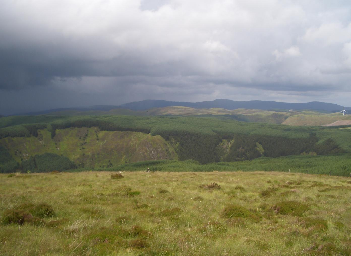
A cold day at the head of Cwm Ystwyth Looking over part of the Gors Lwyd to the snow-dusted Elan moors.
A cold day at the head of Cwm Ystwyth Credit: Nigel Brown

The requested URL returned error: 429 Too Many Requests

If you have any feedback on the listing, please let us know in the comments section below.

Cefn Images

Images are sourced within 2km of 52.380947/-3.6891156 or Grid Reference SN8577. Thanks to Geograph Open Source API. All images are credited.

A cold day at the head of Cwm Ystwyth Looking over part of the Gors Lwyd to the snow-dusted Elan moors.
A cold day at the head of Cwm Ystwyth
Looking over part of the Gors Lwyd to the snow-dusted Elan moors.
Afon Ystwyth and folded rock strata
Marshland around the upper reaches of Afon Elan
The Mountain Road on the slope of Maen Hir
The southern face of Craig y Lluest The Mountain Road runs below this rock face
The southern face of Craig y Lluest
The Mountain Road runs below this rock face
A footpath into the mountains and moors The path leads from the Mountain Road across the hills and through woodland <a href="https://www.geograph.org.uk/photo/1211301">SN8676 : Gate on bridleway by Cistfaen</a> to Clochfaen
A footpath into the mountains and moors
The path leads from the Mountain Road across the hills and through woodland SN8676 : Gate on bridleway by Cistfaen to Clochfaen
Sign for footpath up Craig y Lluest from the Mountain Road
The highest bridge over Afon Ystwyth The river rises in marshland to the left of the bridge and then runs beside the road.  For a short distance it forms the boundary between Ceredigion (signed) and Powys
The highest bridge over Afon Ystwyth
The river rises in marshland to the left of the bridge and then runs beside the road. For a short distance it forms the boundary between Ceredigion (signed) and Powys
The Mountain Road beside Afon Ystwyth
Sheep, the Mountain Road and Afon Ystwyth
Stream and marsh on north side of Cefn Neint
The mountain track by Nant Troed-y-rhiw
The grassy valley of Nant Troed-y-rhiw
Moorland on the slopes of Yr Allt
The edge of the Diliw forest
The track above Lluest-dolgwiail
The track down to the bridge across Afon Diliw
Looking west to the bridge over Afon Diliw
Show me another place!

Cefn is located at Grid Ref: SN8577 (Lat: 52.380947, Lng: -3.6891156)

Unitary Authority: Powys

Police Authority: Dyfed Powys

What 3 Words

///mushroom.manifests.trapdoor. Near Cwmystwyth, Ceredigion

Nearby Locations

Cefn

Related Wikis

Elenydd

The Elenydd (Welsh: [ɛˈlɛnɨð]) is an upland area of Mid Wales, extending across parts of northern and eastern Ceredigion and Powys between Aberystwyth...

Cefn Croes Wind Farm

Cefn Croes is a wind farm in Ceredigion, Wales. It is located in the Cambrian Mountains on Cefn Croes mountain, 573m (1,880 ft) south of the A44 road between...

Pen y Garn

Pen y Garn (head of the cairn) is a mountain in the Cambrian Mountains, Mid Wales standing at 611 metres above sea level. Pen y Garn tops a 500–600 m high...

Mwyngloddfa Cwmystwyth

Mwyngloddfa Cwmystwyth is a Site of Special Scientific Interest in Ceredigion, west Wales. It comprises old mine workings located in the upper Ystwyth...

Have you been to Cefn?

Leave your review of Cefn below (or comments, questions and feedback).