Barluith Hill

Hill, Mountain in Kirkcudbrightshire

Scotland

Barluith Hill

Edingham Moss WWII cordite works One of several disused cordite drying buildings on the extensive World War II depot site north west of Dalbeatie. Opened in 1939 it finally closed in 1960. The site is dangerous and must not be visited without the owners permission. More information here <span class="nowrap"><a title="http://www.dalbeattie.com/ministryofsupplyfactorydalbeattie/index.html" rel="nofollow ugc noopener" href="http://www.dalbeattie.com/ministryofsupplyfactorydalbeattie/index.html">Link</a><img style="margin-left:2px;" alt="External link" title="External link - shift click to open in new window" src="https://s1.geograph.org.uk/img/external.png" width="10" height="10"/></span>
Edingham Moss WWII cordite works Credit: Roy Tait

Barluith Hill, located in Kirkcudbrightshire, is a prominent hill that forms part of the stunning Galloway Hills range in southwestern Scotland. Standing at an elevation of approximately 366 meters (1,200 feet), it offers breathtaking panoramic views of the surrounding countryside. The hill is situated about 5 kilometers (3 miles) northeast of the picturesque town of Gatehouse of Fleet.

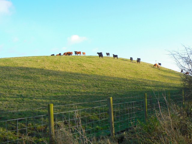
Barluith Hill is known for its rugged terrain, characterized by rolling slopes covered in heather and scattered rocky outcrops. The hill is a popular destination for hikers and nature enthusiasts, who are drawn to its diverse flora and fauna. It is home to a variety of bird species, including red grouse, skylarks, and peregrine falcons, making it a haven for birdwatchers.

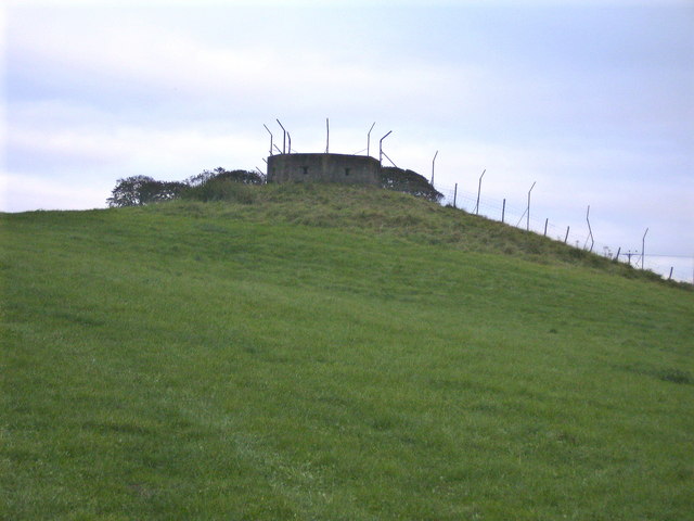
The summit of Barluith Hill provides an excellent vantage point, offering uninterrupted views of the surrounding landscape, including the nearby Loch Whinyeon and the Fleet Estuary. On clear days, visitors are rewarded with sweeping vistas of the Solway Firth and even the distant peaks of the Lake District in England.

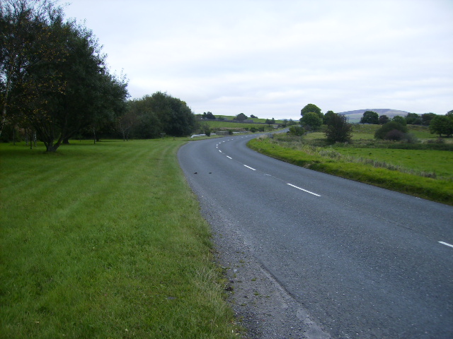
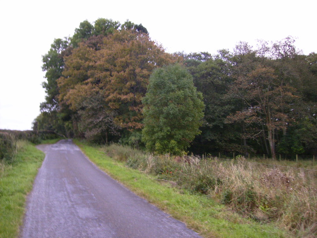
Access to Barluith Hill is primarily through well-maintained footpaths and trails, ensuring a pleasant and safe hiking experience. The hill is also relatively easily accessible, with ample parking available nearby. Visitors are advised to bring appropriate clothing and footwear, as the weather conditions can be changeable.

Overall, Barluith Hill is a must-visit destination for those seeking to immerse themselves in the natural beauty of Kirkcudbrightshire. Its striking vistas and abundant wildlife make it a haven for outdoor enthusiasts and a true gem of the Galloway Hills.

If you have any feedback on the listing, please let us know in the comments section below.

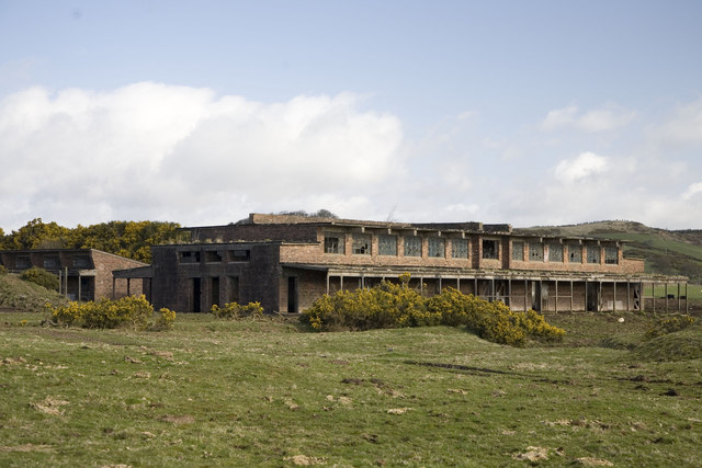
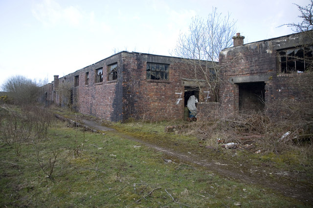
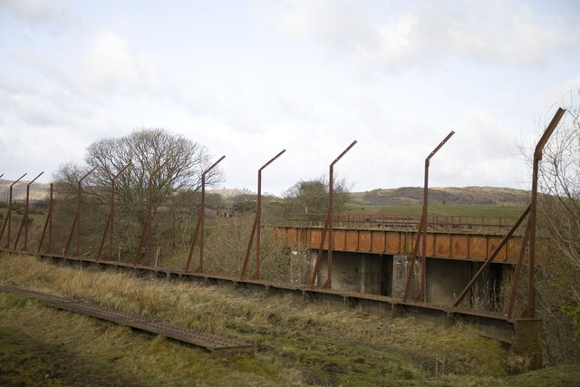
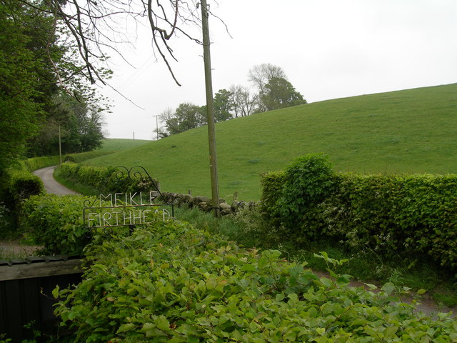
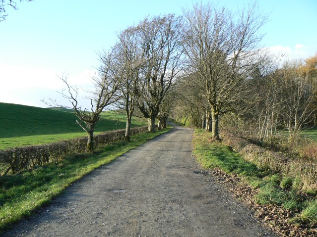
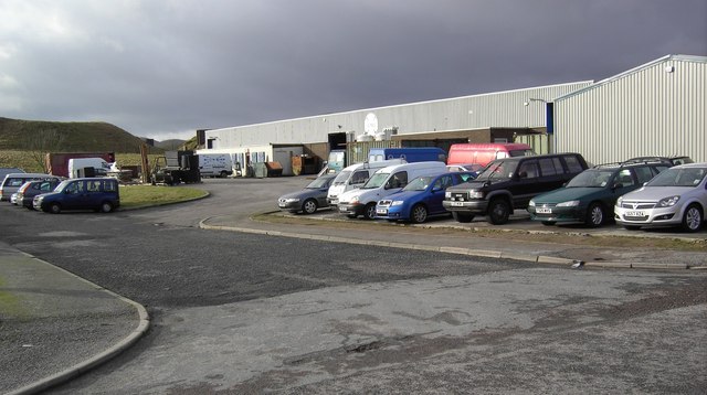
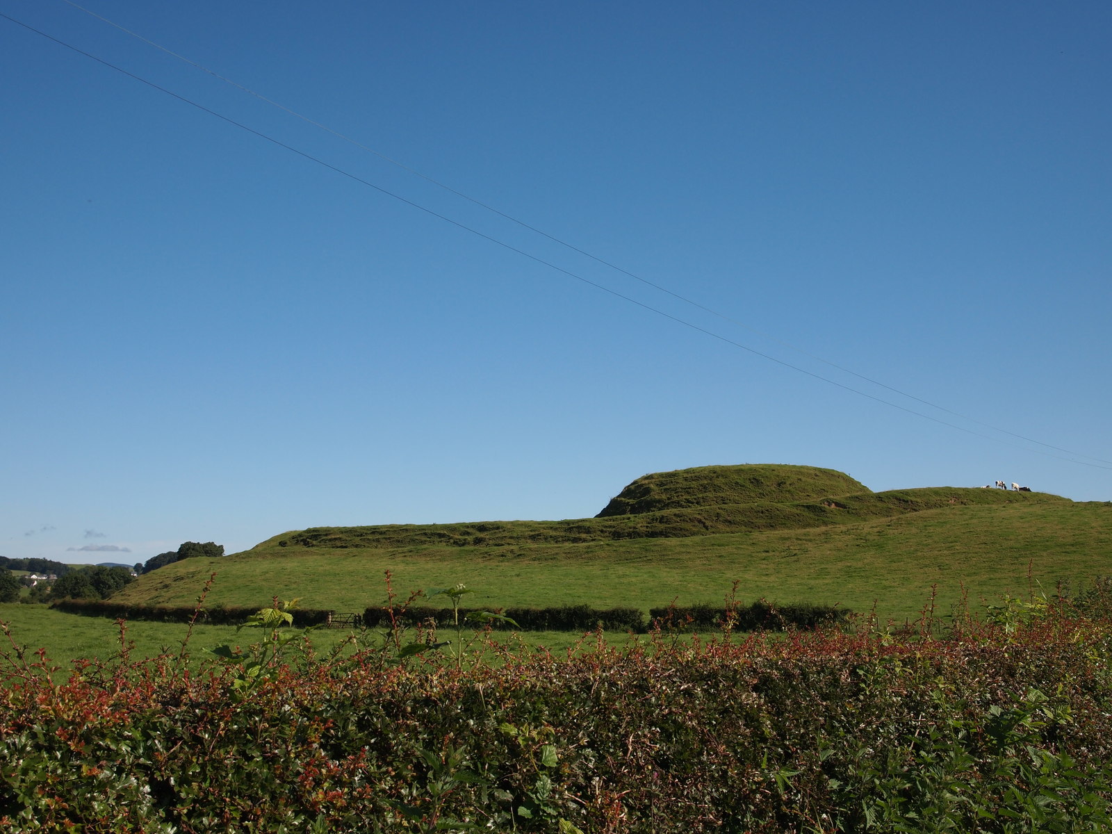
Barluith Hill Images

Images are sourced within 2km of 54.954843/-3.809424 or Grid Reference NX8463. Thanks to Geograph Open Source API. All images are credited.

Edingham Moss WWII cordite works One of several disused cordite drying buildings on the extensive World War II depot site north west of Dalbeatie. Opened in 1939 it finally closed in 1960. The site is dangerous and must not be visited without the owners permission. More information here <span class="nowrap"><a title="http://www.dalbeattie.com/ministryofsupplyfactorydalbeattie/index.html" rel="nofollow ugc noopener" href="http://www.dalbeattie.com/ministryofsupplyfactorydalbeattie/index.html">Link</a><img style="margin-left:2px;" alt="External link" title="External link - shift click to open in new window" src="https://s1.geograph.org.uk/img/external.png" width="10" height="10"/></span>
Edingham Moss WWII cordite works
One of several disused cordite drying buildings on the extensive World War II depot site north west of Dalbeatie. Opened in 1939 it finally closed in 1960. The site is dangerous and must not be visited without the owners permission. More information here LinkExternal link
Edingham Moss WWII cordite works Railway loading bays, part of extensive World War II depot site north west of Dalbeattie. Opened in 1939 it finally closed in 1960. This site is dangerous and must not be visited without the owners permission. More information here <span class="nowrap"><a title="http://www.dalbeattie.com/ministryofsupplyfactorydalbeattie/index.html" rel="nofollow ugc noopener" href="http://www.dalbeattie.com/ministryofsupplyfactorydalbeattie/index.html">Link</a><img style="margin-left:2px;" alt="External link" title="External link - shift click to open in new window" src="https://s1.geograph.org.uk/img/external.png" width="10" height="10"/></span>
Edingham Moss WWII cordite works
Railway loading bays, part of extensive World War II depot site north west of Dalbeattie. Opened in 1939 it finally closed in 1960. This site is dangerous and must not be visited without the owners permission. More information here LinkExternal link
Edingham Moss WWII cordite works Looking from the trackbed of the disused "Port Road" Dumfries to Stranraer railway line across to a railway bridge inside the extensive World War II depot site. Opened in 1939 it finally closed in 1960. This site is dangerous and must not be visited without the owners permission. More information here <span class="nowrap"><a title="http://www.dalbeattie.com/ministryofsupplyfactorydalbeattie/index.html" rel="nofollow ugc noopener" href="http://www.dalbeattie.com/ministryofsupplyfactorydalbeattie/index.html">Link</a><img style="margin-left:2px;" alt="External link" title="External link - shift click to open in new window" src="https://s1.geograph.org.uk/img/external.png" width="10" height="10"/></span>
Edingham Moss WWII cordite works
Looking from the trackbed of the disused "Port Road" Dumfries to Stranraer railway line across to a railway bridge inside the extensive World War II depot site. Opened in 1939 it finally closed in 1960. This site is dangerous and must not be visited without the owners permission. More information here LinkExternal link
Roadway to Meikle Firthhead & edge of Dalmoney Hill
Lower Porterbelly
Lower Porterbelly
The A711 road north of Dalbeattie
Edingham Loch is completely shielded by this woodland
Pillbox - built to protect the WWII cordite factory here <span class="nowrap"><a title="http://www.dalbeattie.com/ministryofsupplyfactorydalbeattie/index.html" rel="nofollow ugc noopener" href="http://www.dalbeattie.com/ministryofsupplyfactorydalbeattie/index.html">Link</a><img style="margin-left:2px;" alt="External link" title="External link - shift click to open in new window" src="https://s1.geograph.org.uk/img/external.png" width="10" height="10"/></span>
Pillbox - built to protect the WWII cordite factory here
Hill of cows Small hill north of Edingham Loch.
Hill of cows
Small hill north of Edingham Loch.
Heading for Torkatrine A dead-end road leading to a farm and standing stone.
Heading for Torkatrine
A dead-end road leading to a farm and standing stone.
Edingham Industrial Estate Engineering company E-Teq's factory on Edingham Industrial Estate.
Edingham Industrial Estate
Engineering company E-Teq's factory on Edingham Industrial Estate.
Culkiest Sign The very basic sign at the road end leading to Culkiest Farm. Note that the spelling on the sign and on the O.S. map differ!
Culkiest Sign
The very basic sign at the road end leading to Culkiest Farm. Note that the spelling on the sign and on the O.S. map differ!
Kirkgunzeon Lane The Kirkgunzeon Lane waterway as it flows towards Dalbeattie.
Kirkgunzeon Lane
The Kirkgunzeon Lane waterway as it flows towards Dalbeattie.
Bridge to Culkiest The bridge over the Kirkgunzeon Lane heading towards Culkiest.
Bridge to Culkiest
The bridge over the Kirkgunzeon Lane heading towards Culkiest.
Meikle Firthhead farm
Edingham Castle After spending the day exploring the castles and tower houses of the Stewartry our intrepid reporter (Alison) and her equally barmy friend Cartriona (an Aberdonian and self confessed Galloway Virgin) decided to explore Edingham Castle.  

After crossing three fields, wading through waist high nettles and thistles, we finally reached our destination only to find.... yet more nettles.  However we were amazed by the sheer scale of the building and our only problem was how to get over the wall in order to have a closer look.

We already knew a little about the castle before we embarked on our adventure but only that it was the remains of an early 16th century tower house built for the Livingstones of Little Airds but that was it.  From our visits to other Tower Houses we knew that Scottish landowners of the day struggled to afford to build houses which combined family accommodation with defence. Therefore a tower house provided a modest residence for a Laird and his family and its powerful construction was able to resist assault.

We were surprised to see that a substantial part of the tower still remained.  By process of elimination, and the use of the compass on our trusty mobile phone, we established that most of the west gable was almost intact.   After scaling the wall (a whole 3ft) Alison bravely ventured through the front door. 

Through the gloom there appeared to be a vaulted cellar area (we knew this as we had seen the same style previously at Buittle Tower and Cardonness Castle).  It appears to have been a storage area rather than a kitchen as there was no evidence of a fireplace.  Although it looks like a single room it was probably divided in two by a wooden partition.  There is also evidence of the tower being built for defensive purposes as there were slit windows on the ground floor and a possible gun loop in the west wall.

We were very excited by the remains of a turnpike stair which lead up to a second floor; however due to the absence of hard hats and steel toe-capped boots we decided against venturing up.   With hindsight (it's a wonderful thing) it would have been advisable to obtain the permission of the local landowner and we would advise that anyone thinking of paying a visit to Edingham Castle should contact Matthew Taylor on 01556 610397.
Edingham Castle
After spending the day exploring the castles and tower houses of the Stewartry our intrepid reporter (Alison) and her equally barmy friend Cartriona (an Aberdonian and self confessed Galloway Virgin) decided to explore Edingham Castle. After crossing three fields, wading through waist high nettles and thistles, we finally reached our destination only to find.... yet more nettles. However we were amazed by the sheer scale of the building and our only problem was how to get over the wall in order to have a closer look. We already knew a little about the castle before we embarked on our adventure but only that it was the remains of an early 16th century tower house built for the Livingstones of Little Airds but that was it. From our visits to other Tower Houses we knew that Scottish landowners of the day struggled to afford to build houses which combined family accommodation with defence. Therefore a tower house provided a modest residence for a Laird and his family and its powerful construction was able to resist assault. We were surprised to see that a substantial part of the tower still remained. By process of elimination, and the use of the compass on our trusty mobile phone, we established that most of the west gable was almost intact. After scaling the wall (a whole 3ft) Alison bravely ventured through the front door. Through the gloom there appeared to be a vaulted cellar area (we knew this as we had seen the same style previously at Buittle Tower and Cardonness Castle). It appears to have been a storage area rather than a kitchen as there was no evidence of a fireplace. Although it looks like a single room it was probably divided in two by a wooden partition. There is also evidence of the tower being built for defensive purposes as there were slit windows on the ground floor and a possible gun loop in the west wall. We were very excited by the remains of a turnpike stair which lead up to a second floor; however due to the absence of hard hats and steel toe-capped boots we decided against venturing up. With hindsight (it's a wonderful thing) it would have been advisable to obtain the permission of the local landowner and we would advise that anyone thinking of paying a visit to Edingham Castle should contact Matthew Taylor on 01556 610397.
Edingham Loch A small loch near Dalbeattie. Very difficult to get near due to dense vegetation.
Edingham Loch
A small loch near Dalbeattie. Very difficult to get near due to dense vegetation.
Road to Torkatrine The road to Torkatrine Farm.
Road to Torkatrine
The road to Torkatrine Farm.
Show me another place!

Barluith Hill is located at Grid Ref: NX8463 (Lat: 54.954843, Lng: -3.809424)

Unitary Authority: Dumfries and Galloway

Police Authority: Dumfries and Galloway

What 3 Words

///scan.fuses.worthy. Near Dalbeattie, Dumfries & Galloway

Nearby Locations

Barluith Hill

Related Wikis

Southwick railway station (Scotland)

Southwick (Dumfries & Galloway) railway station served the civil parish of Colvend and Southwick, Dumfries and Galloway, Scotland from 1859 to 1965 on...

Dalbeattie Star F.C.

Dalbeattie Star Football Club is a Scottish association football club based in Dalbeattie, Dumfries and Galloway. It currently competes in the South of...

Dalbeattie railway station

Dalbeattie railway station served the town of Dalbeattie, Dumfries and Galloway, Scotland from 1859 to 1965 on the Castle Douglas and Dumfries Railway...

Dalbeattie Town Hall

Dalbeattie Town Hall is a municipal building in the High Street in Dalbeattie, Dumfries and Galloway, Scotland. The structure, which is used as community...

Dalbeattie

Dalbeattie (, Scots: Dawbeattie, Scottish Gaelic: Dail Bheithe meaning 'haugh of the birch' or Dail bhàite 'drowned (i.e. liable to flood) haugh') is a...

Dalbeattie High School

Dalbeattie High School is a small rural secondary school on the edge of Dalbeattie in the historical county of Kirkcudbrightshire in the local council...

Stewartry

Stewartry was a local government district from 1975 until 1996 within the Dumfries and Galloway region in south-west Scotland. Under the name Stewartry...

Motte of Urr

The Motte of Urr is the remains of a 12th-century motte-and-bailey castle located near the Haugh of Urr in Dumfries and Galloway, Scotland. == History... ==

Nearby Amenities

Located within 500m of 54.954843,-3.809424
Barluith Hill
Natural: peak
Lat/Long: 54.9547952/-3.8098115
Meikle Culloch Cottages
Place: hamlet
Lat/Long: 54.9550358/-3.8061471
Power: pole
Lat/Long: 54.9587799/-3.8078676
Power: pole
Lat/Long: 54.9583267/-3.8087904
Power: pole
Lat/Long: 54.9577433/-3.8099381
Power: pole
Lat/Long: 54.9571574/-3.8110985
Power: pole
Lat/Long: 54.95682/-3.8117668
Power: pole
Lat/Long: 54.9562718/-3.8128678
Power: pole
Lat/Long: 54.9556469/-3.8140686
Power: pole
Lat/Long: 54.9552193/-3.8148514
Power: pole
Lat/Long: 54.9546382/-3.8158612
Power: pole
Lat/Long: 54.9543264/-3.8164149
Power: pole
Lat/Long: 54.9577116/-3.8121571
Power: pole
Lat/Long: 54.9581696/-3.8130397
Power: pole
Lat/Long: 54.9567322/-3.8099805
Power: pole
Lat/Long: 54.9562998/-3.8088604
Power: pole
Lat/Long: 54.9558747/-3.8077742
Power: pole
Lat/Long: 54.9554629/-3.8066838
The data included in this document is from www.openstreetmap.org. The data is made available under ODbL.

Have you been to Barluith Hill?

Leave your review of Barluith Hill below (or comments, questions and feedback).