Banc-y-Darren

Settlement in Cardiganshire

Wales

Banc-y-Darren

Pretty in pink! Tafarn y Maes, Capel Bangor.
Pretty in pink! Credit: Eirian Evans

Banc-y-Darren is a small village located in the county of Cardiganshire, Wales. Situated in the picturesque Teifi Valley, this rural settlement offers a tranquil and idyllic setting for its residents and visitors alike. The village is nestled amidst rolling hills and lush green countryside, providing breathtaking views of the surrounding landscape.

The community of Banc-y-Darren is known for its strong sense of community and friendly atmosphere. With a population of around 200 people, it maintains a close-knit and welcoming environment. The village is home to a range of amenities, including a local shop, a primary school, and a village hall that serves as a hub for social gatherings and events.

Nature lovers will find plenty to appreciate in Banc-y-Darren. The village is surrounded by stunning natural beauty, with numerous walking trails and paths that allow residents to explore the countryside and enjoy the fresh air. Additionally, the nearby Teifi River offers opportunities for fishing and boating, attracting outdoor enthusiasts from far and wide.

Banc-y-Darren is well-connected to the wider region, with good transport links to nearby towns and cities. The village is just a short drive away from Cardigan, a bustling market town, which provides a range of shopping, dining, and entertainment options. The area is also known for its historical sites, including ancient castles and archaeological sites, which attract history buffs and tourists interested in the region's rich heritage.

In summary, Banc-y-Darren is a charming village in Cardiganshire that offers a peaceful and picturesque lifestyle. With its beautiful surroundings, strong community spirit, and convenient access to amenities and attractions, it is an ideal place for those seeking a rural retreat in the heart of Wales.

If you have any feedback on the listing, please let us know in the comments section below.

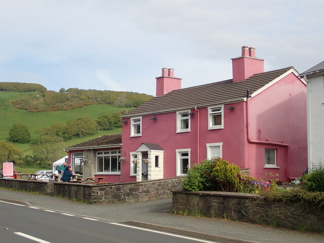
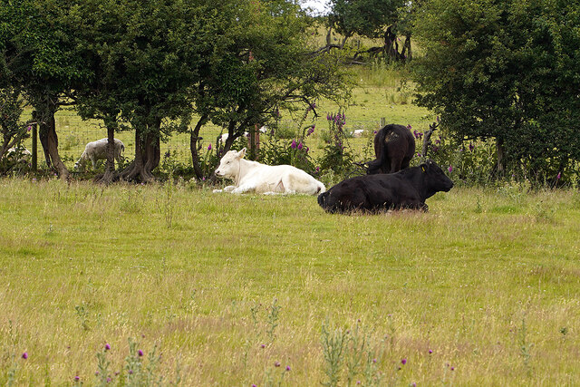
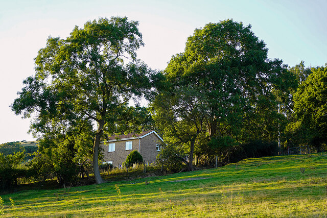
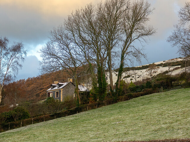
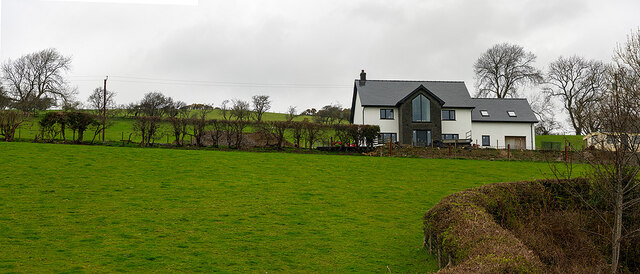
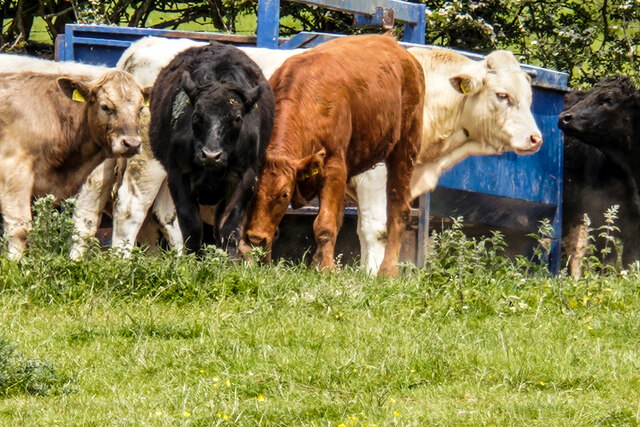
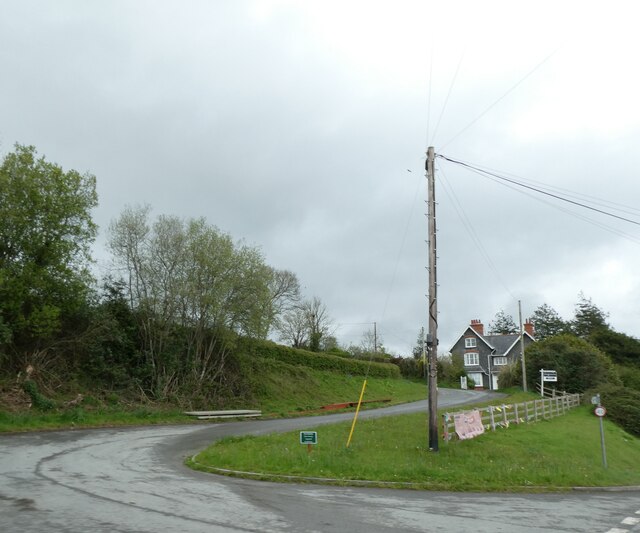
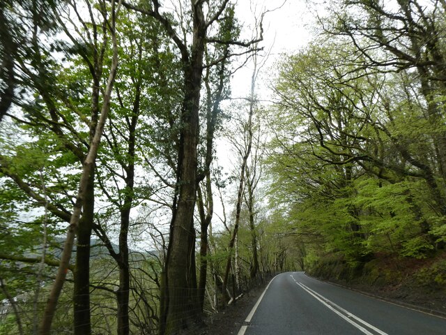
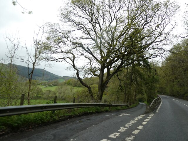
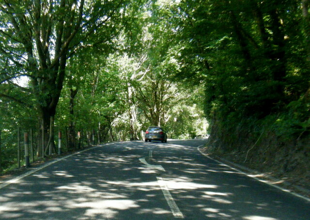
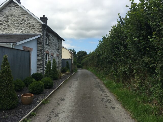
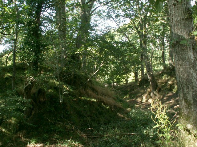
Banc-y-Darren Images

Images are sourced within 2km of 52.419771/-3.9571593 or Grid Reference SN6782. Thanks to Geograph Open Source API. All images are credited.

Pretty in pink! Tafarn y Maes, Capel Bangor.
Pretty in pink!
Tafarn y Maes, Capel Bangor.
Penlon Cottages
Penlon Cottages
Gwarcwm Farm above Capel Bangor
Gwarcwm
Farm above Capel Bangor
Site of a motte, Capel Madog This is shown on the OS map, sited near the Afon Peithyll (River) but I have found no information on it elsewhere
Site of a motte, Capel Madog
This is shown on the OS map, sited near the Afon Peithyll (River) but I have found no information on it elsewhere
Afon Peithyll River In the River Clarach catchment area, eventually reaching the sea in Cardigan Bay
Afon Peithyll River
In the River Clarach catchment area, eventually reaching the sea in Cardigan Bay
Rhosgoch Farm south of Penrhyn Coch
Rhosgoch
Farm south of Penrhyn Coch
Relaxing at the Fron Young bulls, possibly steers, relaxing in the field at Fron Farm, Capel Bangor.
Relaxing at the Fron
Young bulls, possibly steers, relaxing in the field at Fron Farm, Capel Bangor.
House on the hill in Capel Bangor Caught in evening sunshine.
House on the hill in Capel Bangor
Caught in evening sunshine.
House on the Hill Swyn Rheidol, Capel Bangor. With a smattering of snow in the fields behind.
House on the Hill
Swyn Rheidol, Capel Bangor. With a smattering of snow in the fields behind.
New house at Fron Farm A self-build now almost complete.
New house at Fron Farm
A self-build now almost complete.
Bullocks at the Fron
Side road off A44 in Maes-bangor The A44 is a major road in the United Kingdom that runs for 155 miles from Oxford in southern England to Aberystwyth in west Wales.
<span class="nowrap"><a title="http://www.sabre-roads.org.uk/wiki/index.php?title=A44" rel="nofollow ugc noopener" href="http://www.sabre-roads.org.uk/wiki/index.php?title=A44">Link</a><img style="margin-left:2px;" alt="External link" title="External link - shift click to open in new window" src="https://s1.geograph.org.uk/img/external.png" width="10" height="10"/></span>  SABRE
<span class="nowrap"><a title="https://en.wikipedia.org/wiki/A44_road" rel="nofollow ugc noopener" href="https://en.wikipedia.org/wiki/A44_road">Link</a><img style="margin-left:2px;" alt="External link" title="External link - shift click to open in new window" src="https://s1.geograph.org.uk/img/external.png" width="10" height="10"/></span>  Wikipedia
Side road off A44 in Maes-bangor
The A44 is a major road in the United Kingdom that runs for 155 miles from Oxford in southern England to Aberystwyth in west Wales. LinkExternal link SABRE LinkExternal link Wikipedia
A44 in woodland west of Goginan The A44 is a major road in the United Kingdom that runs for 155 miles from Oxford in southern England to Aberystwyth in west Wales.
<span class="nowrap"><a title="http://www.sabre-roads.org.uk/wiki/index.php?title=A44" rel="nofollow ugc noopener" href="http://www.sabre-roads.org.uk/wiki/index.php?title=A44">Link</a><img style="margin-left:2px;" alt="External link" title="External link - shift click to open in new window" src="https://s1.geograph.org.uk/img/external.png" width="10" height="10"/></span>  SABRE
<span class="nowrap"><a title="https://en.wikipedia.org/wiki/A44_road" rel="nofollow ugc noopener" href="https://en.wikipedia.org/wiki/A44_road">Link</a><img style="margin-left:2px;" alt="External link" title="External link - shift click to open in new window" src="https://s1.geograph.org.uk/img/external.png" width="10" height="10"/></span>  Wikipedia
A44 in woodland west of Goginan
The A44 is a major road in the United Kingdom that runs for 155 miles from Oxford in southern England to Aberystwyth in west Wales. LinkExternal link SABRE LinkExternal link Wikipedia
This way to Penbryn and the valley; side road from A44 The A44 is a major road in the United Kingdom that runs for 155 miles from Oxford in southern England to Aberystwyth in west Wales.
<span class="nowrap"><a title="http://www.sabre-roads.org.uk/wiki/index.php?title=A44" rel="nofollow ugc noopener" href="http://www.sabre-roads.org.uk/wiki/index.php?title=A44">Link</a><img style="margin-left:2px;" alt="External link" title="External link - shift click to open in new window" src="https://s1.geograph.org.uk/img/external.png" width="10" height="10"/></span>  SABRE
<span class="nowrap"><a title="https://en.wikipedia.org/wiki/A44_road" rel="nofollow ugc noopener" href="https://en.wikipedia.org/wiki/A44_road">Link</a><img style="margin-left:2px;" alt="External link" title="External link - shift click to open in new window" src="https://s1.geograph.org.uk/img/external.png" width="10" height="10"/></span>  Wikipedia
This way to Penbryn and the valley; side road from A44
The A44 is a major road in the United Kingdom that runs for 155 miles from Oxford in southern England to Aberystwyth in west Wales. LinkExternal link SABRE LinkExternal link Wikipedia
A44 south of Penbryn Farm
Minor road near Dolypandy
Pasture at the Fron Caught in lovely evening sunshine.
Pasture at the Fron
Caught in lovely evening sunshine.
Evening light over fields above Capel Bangor A telephoto shot from Pisgah. The hills forming the horizon are near Nefyn on the Lleyn Peninsula.
Evening light over fields above Capel Bangor
A telephoto shot from Pisgah. The hills forming the horizon are near Nefyn on the Lleyn Peninsula.
Show me another place!

Banc-y-Darren is located at Grid Ref: SN6782 (Lat: 52.419771, Lng: -3.9571593)

Unitary Authority: Ceredigion

Police Authority: Dyfed Powys

What 3 Words

///chestnuts.assurance.query. Near Bow Street, Ceredigion

Related Wikis

Daren

Daren is a hamlet bach in the community of Trefeurig, Ceredigion, Wales, which is 73.2 miles (117.7 km) from Cardiff and 174.5 miles (280.8 km) from London...

Pen-bont-rhyd-y-beddau

Pen-bont-rhyd-y-beddau is a small village in the community of Trefeurig, Ceredigion, Wales, which is 73.7 miles (118.6 km) from Cardiff and 174.8 miles...

Ystrad Peithyll

Ystrad Peithyll (also known as Stradpeithyll in the Brut y Tywysogion and Rhosgoch Motte) is the remains of a small 12th-century motte-and-bailey castle...

Dollwen

Dollwen is a hamlet in the community of Melindwr, Ceredigion, Wales, which is 72.1 miles (116 km) from Cardiff and 173.6 miles (279.4 km) from London...

Nearby Amenities

Located within 500m of 52.419771,-3.9571593
Place: farm
Lat/Long: 52.4183178/-3.9638545
Place: isolated_dwelling
Lat/Long: 52.4221521/-3.9591981
Place: isolated_dwelling
Lat/Long: 52.422387/-3.9553421
Power: pole
Lat/Long: 52.4216446/-3.9513069
Power: pole
Lat/Long: 52.4216168/-3.9523503
Power: pole
Lat/Long: 52.4215644/-3.9534044
Power: pole
Lat/Long: 52.4215006/-3.955054
Power: pole
Lat/Long: 52.4213501/-3.9587501
Power: pole
Lat/Long: 52.4212814/-3.9604399
Power: pole
Lat/Long: 52.4214205/-3.9616415
Power: pole
Lat/Long: 52.421607/-3.9633071
Power: pole
Lat/Long: 52.4154251/-3.9554831
Power: pole
Lat/Long: 52.4157343/-3.954142
The data included in this document is from www.openstreetmap.org. The data is made available under ODbL.

Have you been to Banc-y-Darren?

Leave your review of Banc-y-Darren below (or comments, questions and feedback).