Holt
Settlement in Hampshire Hart
England
Holt

Holt is a small village located in the county of Hampshire, England. Situated in the South Downs National Park, it is nestled between picturesque rolling hills and scenic countryside, offering residents and visitors alike a tranquil and idyllic setting.
With a population of around 500 residents, Holt maintains a close-knit community atmosphere. The village features a charming mix of traditional thatched cottages and more modern houses, all surrounded by well-maintained gardens and green spaces.
The heart of Holt is its village center, which boasts a handful of amenities to cater to the local community. These include a village hall, a primary school, a post office, and a local convenience store. The village also has a well-regarded pub, where locals and visitors can enjoy a pint and a meal in a cozy and welcoming environment.
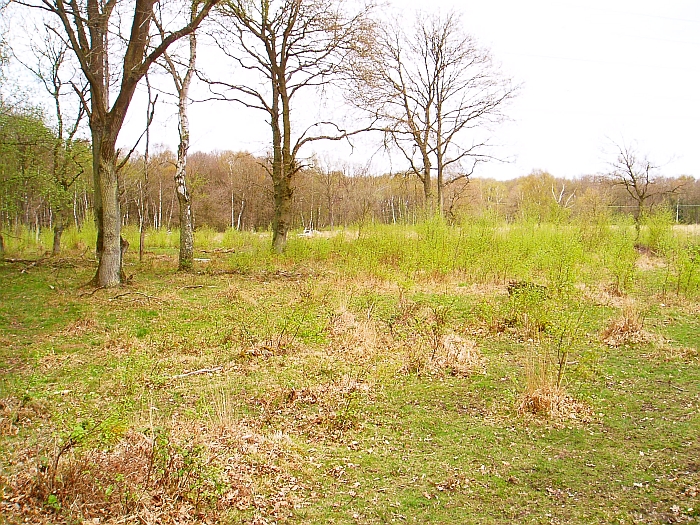
Nature enthusiasts are drawn to Holt due to its prime location within the South Downs National Park. The area offers numerous opportunities for hiking, cycling, and exploring the great outdoors. Nearby attractions include the stunning Butser Hill, the highest point in the South Downs, and the Queen Elizabeth Country Park, which offers extensive trails and outdoor activities.
Overall, Holt provides a peaceful and picturesque retreat for those seeking a slower pace of life in the stunning Hampshire countryside. Its natural beauty, community spirit, and proximity to outdoor activities make it an appealing destination for residents and tourists alike.
If you have any feedback on the listing, please let us know in the comments section below.
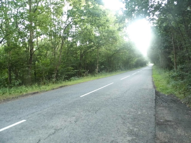
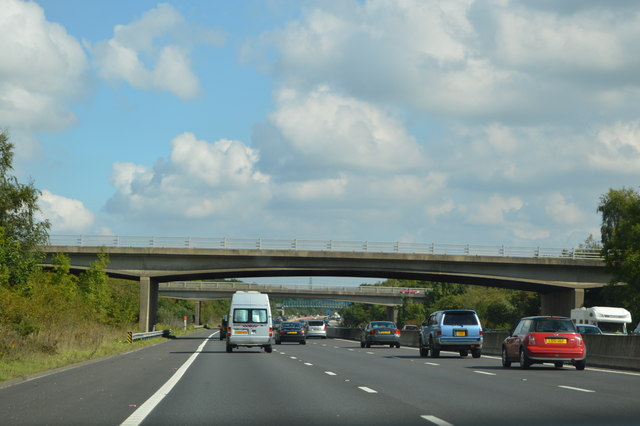
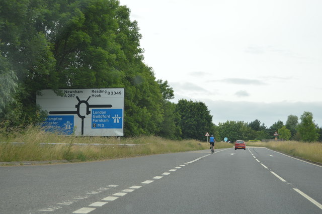
Holt Images
Images are sourced within 2km of 51.281976/-0.947966 or Grid Reference SU7354. Thanks to Geograph Open Source API. All images are credited.


Holt is located at Grid Ref: SU7354 (Lat: 51.281976, Lng: -0.947966)
Administrative County: Hampshire
District: Hart
Police Authority: Hampshire
What 3 Words
///compiler.hence.rots. Near Hook, Hampshire
Nearby Locations
Related Wikis
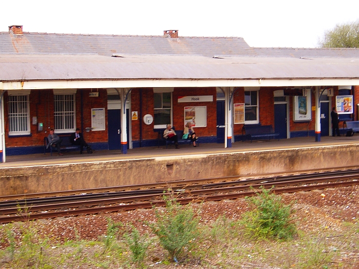
Hook railway station
Hook railway station serves the village of Hook and surrounding villages in Hampshire, southern England. There are two platforms serving the outer pair...

Hook, Hart
Hook is a large village and civil parish in the Hart District of northern Hampshire, England. It is situated 6.2 miles (10 km) east of Basingstoke and...
Hook Common and Bartley Heath
Hook Common and Bartley Heath is a 129.4-hectare (320-acre) biological Site of Special Scientific Interest on the southern outskirts of Hook in Hampshire...
Andwells Brewery
Andwell Brewing Company was started by Adam Komrower in 2008, and was based at Lodge Farm behind Newlyns farmshop in North Warnborough, Hampshire, England...
Hook Common
Hook Common is a hamlet in the civil parish of Hook in the Hart district of Hampshire, England. It lies approximately 1 mile (1.6 km) south-west from Hook...

Warnborough Green SSSI
Warnborough Green is a 4.4-hectare (11-acre) biological Site of Special Scientific Interest in North Warnborough in Hampshire. It is owned and managed...
West Green, Hampshire
West Green is a village in the Hartley Wintney parish of Hampshire, England. The villages lies 2 miles (3 km) from Hook, its nearest town.
Whitehall, Hampshire
Whitehall is a hamlet in the civil parish of Odiham in Hampshire, England. Its nearest town is Hook, approximately 3.5 miles (4.75 km) away.
Nearby Amenities
Located within 500m of 51.281976,-0.947966Have you been to Holt?
Leave your review of Holt below (or comments, questions and feedback).