Ashwell's Copse
Wood, Forest in Hampshire Hart
England
Ashwell's Copse

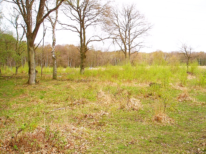
Ashwell's Copse is a picturesque woodland located in Hampshire, England. Covering an area of approximately 50 acres, it is a cherished natural gem for both locals and visitors alike. The copse is situated in the heart of the Hampshire countryside, just a few miles from the town of Basingstoke.
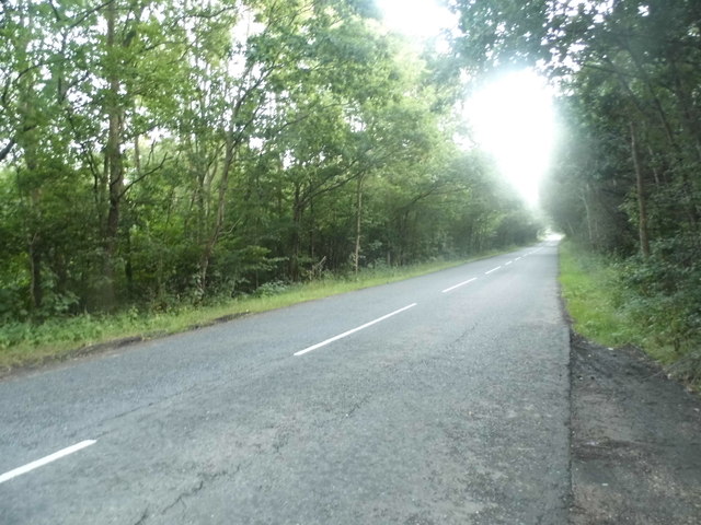
Ashwell's Copse is characterized by its dense and diverse collection of trees, including oak, beech, and birch. The woodland provides a haven for an array of wildlife species, such as deer, foxes, and a wide variety of bird species. The tranquil atmosphere and natural beauty of the copse make it a popular spot for nature enthusiasts, walkers, and photographers.
The copse features a well-maintained network of footpaths and trails, allowing visitors to explore its enchanting surroundings. These paths lead to various secluded spots, offering stunning views of the surrounding countryside and providing opportunities for peaceful reflection and relaxation.
In addition to its natural beauty, Ashwell's Copse also holds historical significance. It is believed to have been part of a larger ancient woodland that dates back centuries. The copse has retained its natural charm over the years, and efforts have been made to preserve its biodiversity and protect its delicate ecosystem.
Overall, Ashwell's Copse is a valuable natural resource that offers a serene escape from the hustle and bustle of daily life. With its scenic beauty, rich wildlife, and historical significance, it is a must-visit destination for anyone seeking a peaceful retreat in the heart of Hampshire.
If you have any feedback on the listing, please let us know in the comments section below.
Ashwell's Copse Images
Images are sourced within 2km of 51.283934/-0.95244173 or Grid Reference SU7354. Thanks to Geograph Open Source API. All images are credited.


Ashwell's Copse is located at Grid Ref: SU7354 (Lat: 51.283934, Lng: -0.95244173)
Administrative County: Hampshire
District: Hart
Police Authority: Hampshire
What 3 Words
///resides.disgraced.snowboard. Near Hook, Hampshire
Nearby Locations
Related Wikis
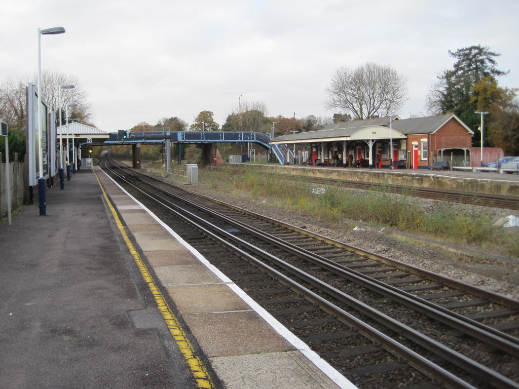
Hook railway station
Hook railway station serves the large village of Hook and surrounding villages in Hampshire, southern England. There are two platforms serving the outer...

Hook, Hart
Hook is a large village and civil parish in the Hart District of northern Hampshire, England. It is situated 6.2 miles (10 km) east of Basingstoke and...
Hook Common and Bartley Heath
Hook Common and Bartley Heath is a 129.4-hectare (320-acre) biological Site of Special Scientific Interest on the southern outskirts of Hook in Hampshire...
Hook Common
Hook Common is a hamlet in the civil parish of Hook in the Hart district of Hampshire, England. It lies approximately 1 mile (1.6 km) south-west from Hook...
Andwells Brewery
Andwell Brewing Company was started by Adam Komrower in 2008, and was based at Lodge Farm behind Newlyns farmshop in North Warnborough, Hampshire, England...
Rotherwick
Rotherwick is a village and civil parish in the Hart district of Hampshire, England. == Extent and layout == It is briefly limited to the east and the...
West Green, Hampshire
West Green is a village in the Hartley Wintney parish of Hampshire, England. The villages lies 2 miles (3 km) from Hook, its nearest town.

Nately Scures
Nately Scures is a small village and former civil parish, now in the parish of Newnham, in the Basingstoke and Deane district of Hampshire, England. Its...
Nearby Amenities
Located within 500m of 51.283934,-0.95244173Have you been to Ashwell's Copse?
Leave your review of Ashwell's Copse below (or comments, questions and feedback).