Aberuthven
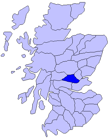
Settlement in Perthshire
Scotland
Aberuthven
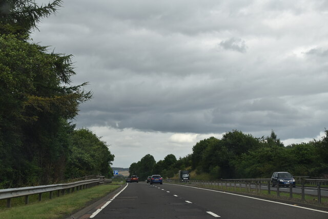
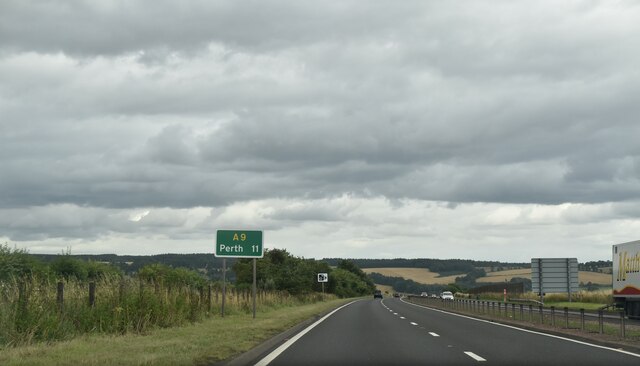
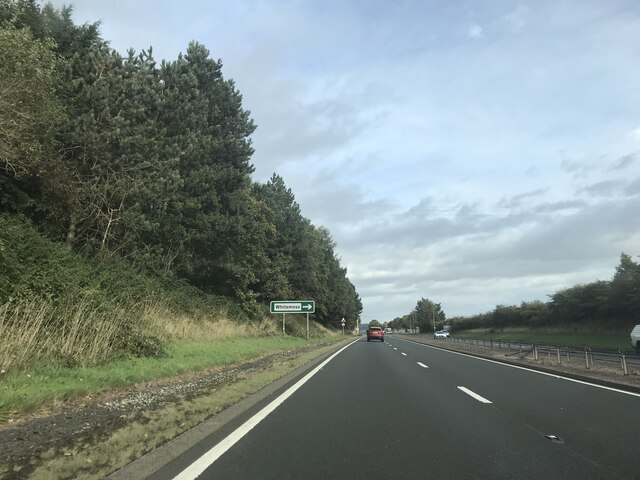
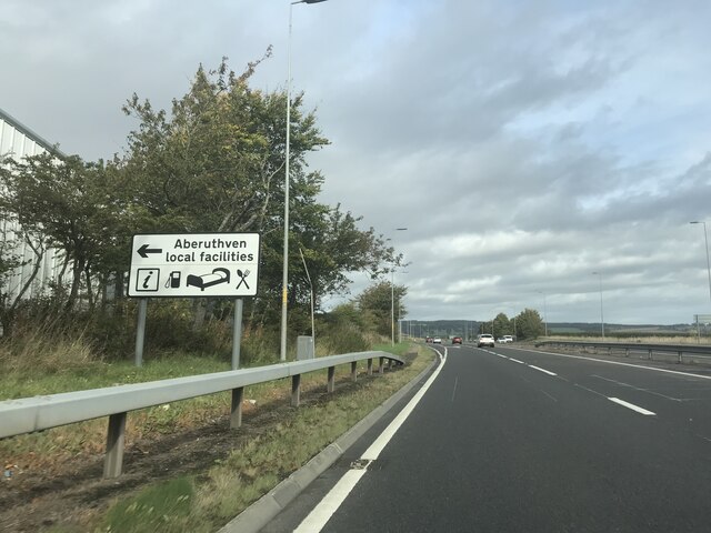
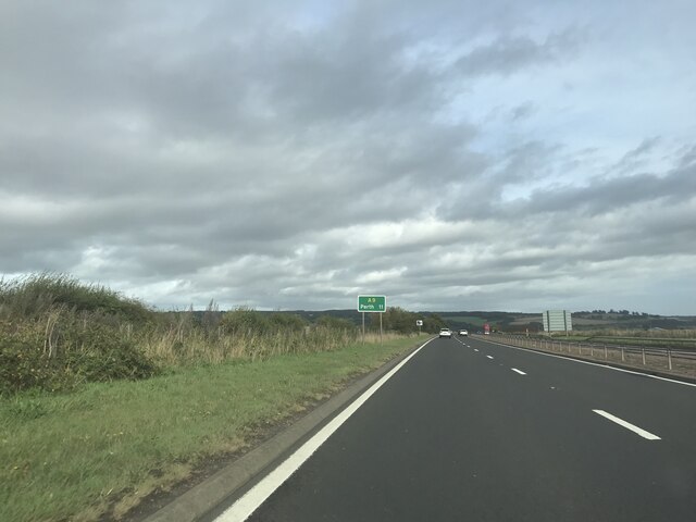
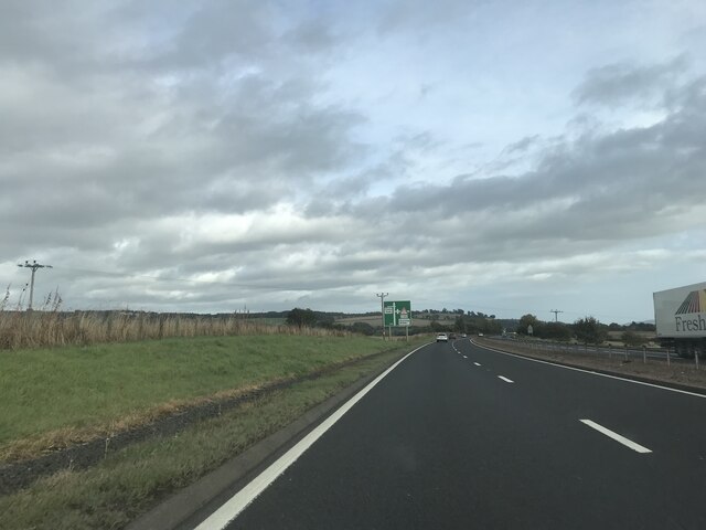
Aberuthven is a small village located in Perthshire, Scotland. Situated approximately 5 miles west of the town of Auchterarder, it is nestled amidst the beautiful countryside of the region. The village is easily accessible via the A9 road, which runs nearby.
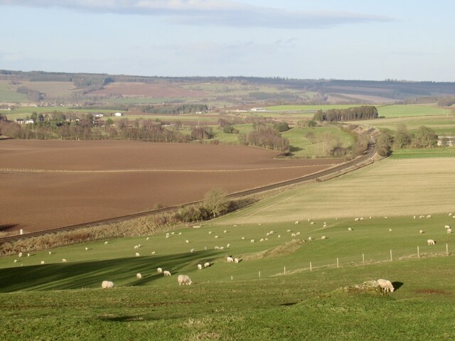
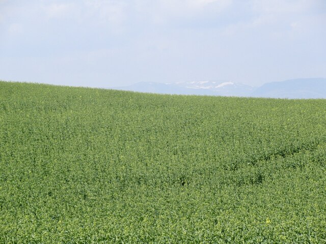
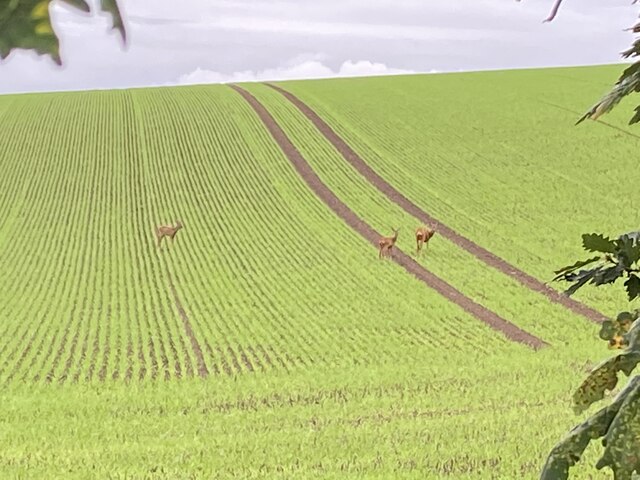
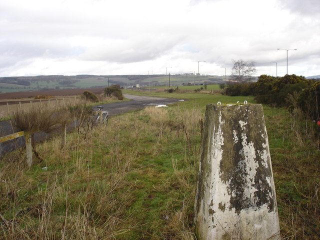
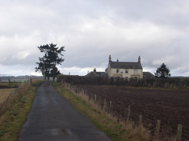
With a population of around 500 residents, Aberuthven maintains a close-knit community atmosphere. The village is characterized by its picturesque setting, surrounded by rolling hills and farmland. The River Earn flows nearby, adding to the natural beauty of the area.
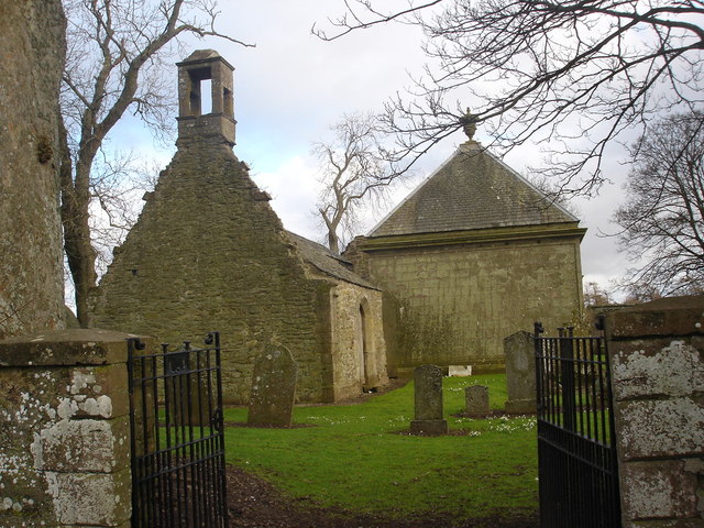
Aberuthven is home to a few local amenities, including a primary school, a community hall, and a village shop. It also boasts a historic church, St. Kessog's, which dates back to the 12th century. The church's striking architecture and peaceful surroundings make it a popular tourist attraction.
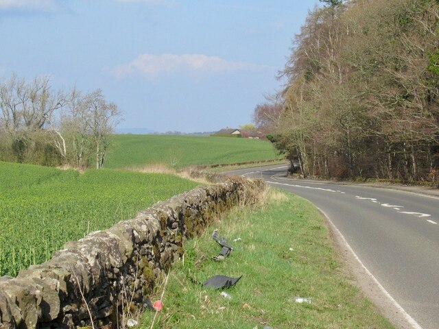
The village is well-positioned for outdoor enthusiasts, with various walking and cycling routes available in the surrounding countryside. Additionally, nearby Gleneagles offers world-class golf courses, attracting golfers from around the world.
Aberuthven's location provides residents with easy access to larger towns and cities. Perth, the nearest city, is only a short drive away and offers a wide range of amenities, including shopping centers, restaurants, and entertainment venues.
Overall, Aberuthven offers a tranquil and scenic environment for those seeking a peaceful village lifestyle while still maintaining close proximity to larger urban centers. It is a place where residents can enjoy the natural beauty of Perthshire and immerse themselves in a tight-knit community.
If you have any feedback on the listing, please let us know in the comments section below.
Aberuthven Images
Images are sourced within 2km of 56.319717/-3.650009 or Grid Reference NN9815. Thanks to Geograph Open Source API. All images are credited.
Aberuthven is located at Grid Ref: NN9815 (Lat: 56.319717, Lng: -3.650009)
Unitary Authority: Perth and Kinross
Police Authority: Tayside
What 3 Words
///obscuring.beats.direction. Near Auchterarder, Perth & Kinross
Nearby Locations
Related Wikis
Aberuthven
Aberuthven (; Gaelic: Obar Ruadhainn) is a small village in Perth and Kinross, Scotland. It lies approximately 2+1⁄2 miles (4 kilometres) northeast of...

Montrose Mausoleum
Montrose Mausoleum is located in the Scottish village of Aberuthven, Perth and Kinross. Dating to 1736, it is a Category A listed building. It stands in...
Strathearn
Strathearn or Strath Earn (, from Scottish Gaelic: Srath Èireann) is the strath of the River Earn, in Scotland, extending from Loch Earn in the West to...
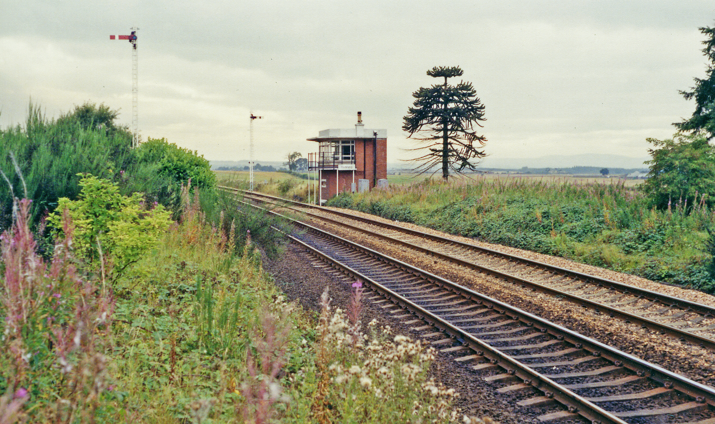
Dunning railway station
Dunning railway station served the village of Dunning, Perth and Kinross, Scotland from 1848 to 1956 on the Scottish Central Railway. == History == The...

Dunning, Perth and Kinross
Dunning is a small village in Perth and Kinross in Scotland with a population of about 1,000. The village centres around the 12th–13th century former parish...
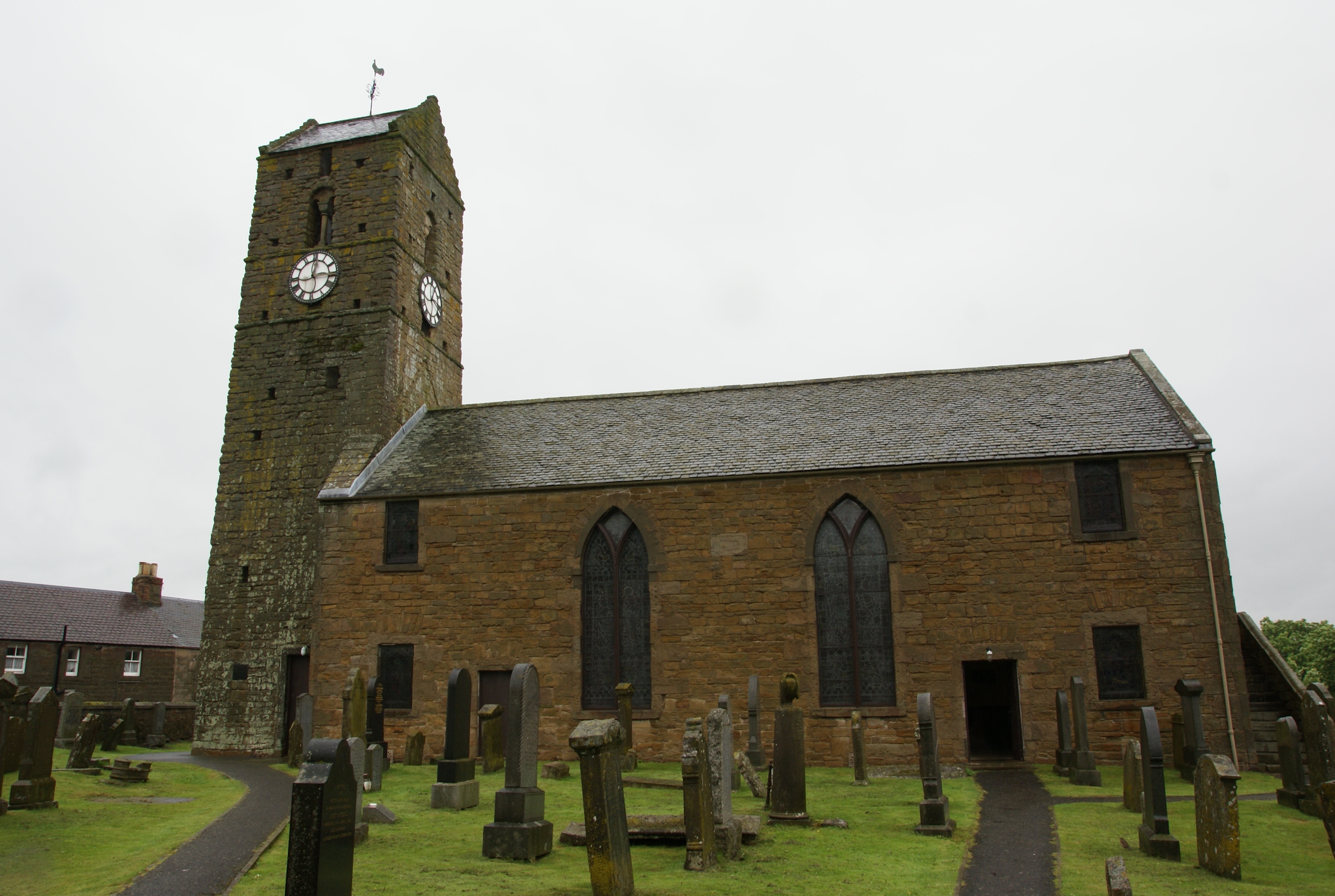
St Serf's Church, Dunning
St Serf's Church in the Scottish village of Dunning, Perth and Kinross is a Category A listed building largely dating to the early 19th century, but incorporating...

Dupplin Cross
The Dupplin Cross is a carved, monumental Pictish stone, which dates from around 800 AD. It was first recorded by Thomas Pennant in 1769, on a hillside...

Auchterarder railway station
Auchterarder railway station served the village of Auchterarder near Gleneagles in the Scottish county of Perth and Kinross. == History == Opened by the...
Nearby Amenities
Located within 500m of 56.319717,-3.650009Have you been to Aberuthven?
Leave your review of Aberuthven below (or comments, questions and feedback).