A' Chìoch

Hill, Mountain in Inverness-shire

Scotland

A' Chìoch

The Summit Of The Minigaig Pass At the summit of the Minigaig Pass looking towards Strathspey.
The Summit Of The Minigaig Pass Credit: iarocu

A' Chìoch is a prominent hill located in Inverness-shire, Scotland. It stands at an elevation of 843 meters (2,766 feet) above sea level, making it one of the highest peaks in the area. The hill is situated in the western part of Inverness-shire, near the village of Fersit.

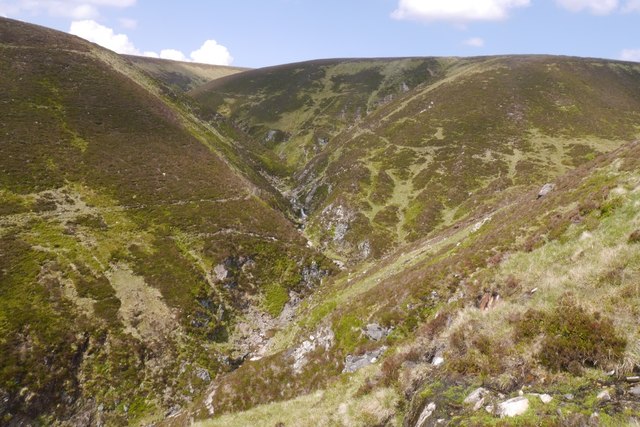
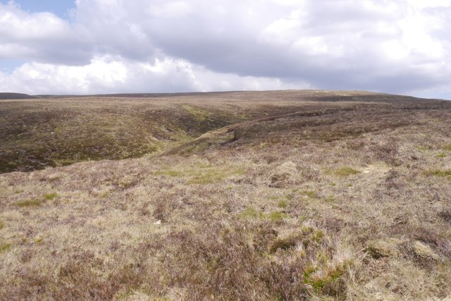
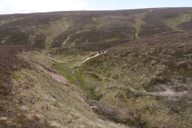
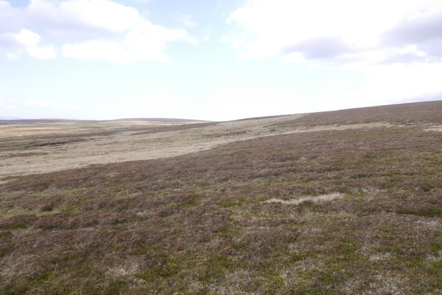
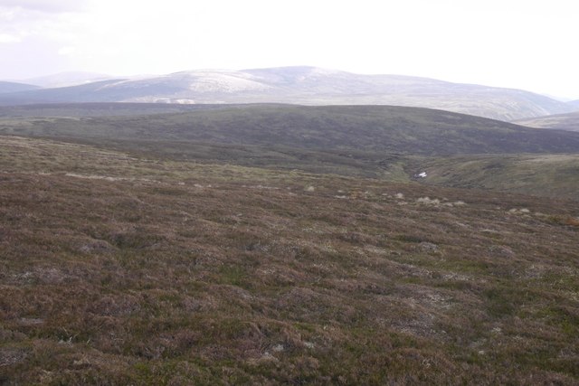
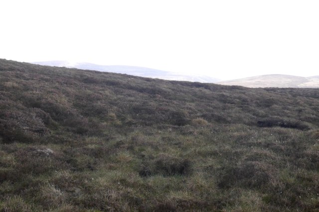
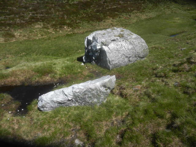
A' Chìoch is part of the Lochaber Geopark, which is renowned for its stunning geological features. The hill is composed mainly of quartzite, a hard metamorphic rock formed from sandstone. Its steep slopes and sharp ridges make it a challenging yet rewarding climb for experienced hikers and mountaineers.

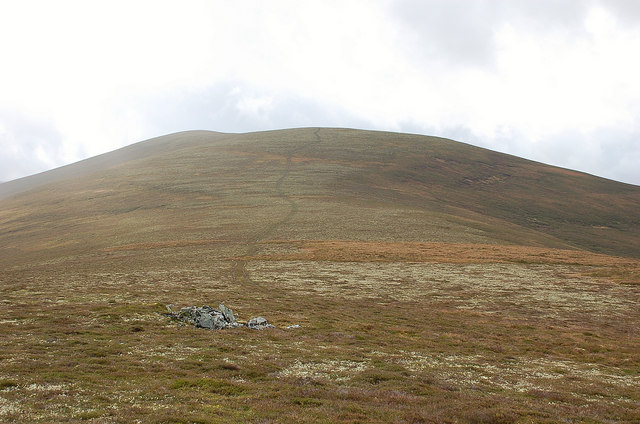
The summit of A' Chìoch offers breathtaking panoramic views of the surrounding landscape, including the nearby Nevis Range and the iconic Ben Nevis, the highest mountain in the British Isles. On clear days, it is even possible to see the distant peaks of the Isle of Skye.

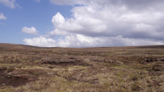
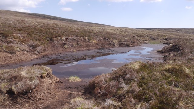
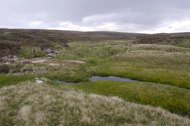
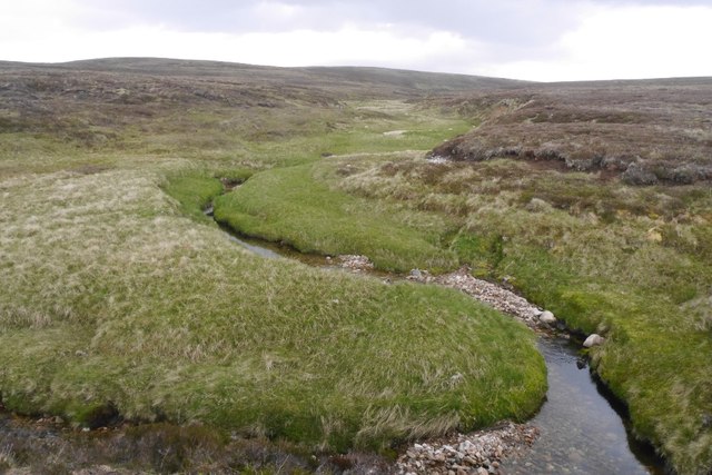
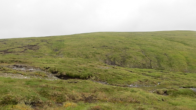
The hill is home to a variety of flora and fauna, with heather, mosses, and wildflowers covering its slopes. It is also a habitat for several bird species, such as ravens, golden eagles, and ptarmigans.

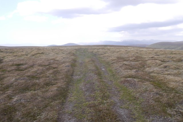
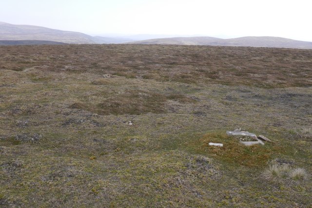
A' Chìoch attracts outdoor enthusiasts throughout the year, with activities ranging from hillwalking and rock climbing in the summer to skiing and snowboarding in the winter months. There are various routes to reach the summit, each offering a different level of difficulty and scenery.

Overall, A' Chìoch is a remarkable hill in Inverness-shire, offering a combination of natural beauty, challenging terrain, and stunning views that make it a popular destination for outdoor adventurers.

If you have any feedback on the listing, please let us know in the comments section below.
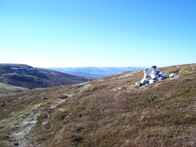
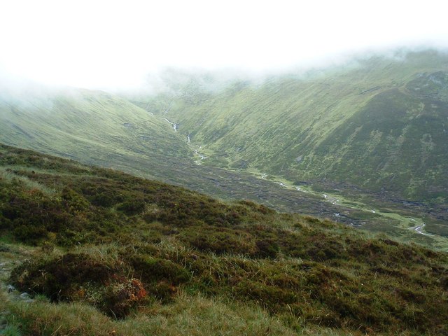
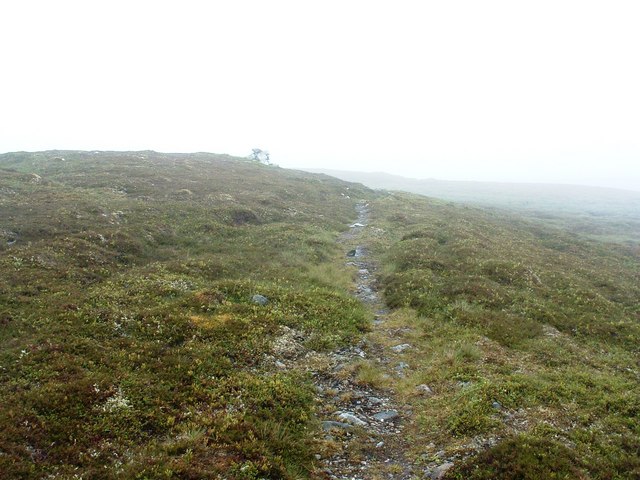
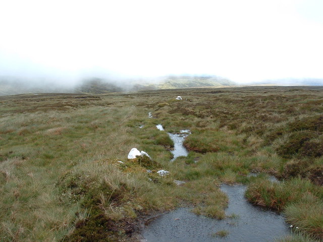
A' Chìoch Images

Images are sourced within 2km of 56.934909/-3.9832261 or Grid Reference NN7984. Thanks to Geograph Open Source API. All images are credited.

The Summit Of The Minigaig Pass At the summit of the Minigaig Pass looking towards Strathspey.
The Summit Of The Minigaig Pass
At the summit of the Minigaig Pass looking towards Strathspey.
Head in the clouds - nearly Looking down towards the Core Bhran, just before the mist obscures all.
Head in the clouds - nearly
Looking down towards the Core Bhran, just before the mist obscures all.
An alternative view of the summit - looking south Alternative to <a href="https://www.geograph.org.uk/photo/422442">NN8184 : The Summit Of The Minigaig Pass</a>.
An alternative view of the summit - looking south
The river stole my footpath The white stones mark the path as it starts to descend, only problem is - the river has squatters rights. 
A hint of sunshine in the distance though, and the good news is that it's now 6 hours since I left Kingussie, so I'm halfway to Blair Atholl.(it's now 16:45)
The river stole my footpath
The white stones mark the path as it starts to descend, only problem is - the river has squatters rights. A hint of sunshine in the distance though, and the good news is that it's now 6 hours since I left Kingussie, so I'm halfway to Blair Atholl.(it's now 16:45)
West fork, Allt Domhainn The head of the gorge.
West fork, Allt Domhainn
The head of the gorge.
Moorland, Meur Ailig The granite topped plateau west of the Minigaig pass is boggy. Recent dry weather made the going easy, but it was still a 12 hour day. This is remote country.
Moorland, Meur Ailig
The granite topped plateau west of the Minigaig pass is boggy. Recent dry weather made the going easy, but it was still a 12 hour day. This is remote country.
Meur Aillig Dried out peat bogs. Mounds of grouse grit were dotted around the place.
Meur Aillig
Dried out peat bogs. Mounds of grouse grit were dotted around the place.
Peat pool Drying out in warm sunshine, although it did rain later in the day.
Peat pool
Drying out in warm sunshine, although it did rain later in the day.
Meur Ailig A hollow beside the east fork of the Aillig burn/Allt Domhainn. Snow had only recently melted from this sheltered spot.
Meur Ailig
A hollow beside the east fork of the Aillig burn/Allt Domhainn. Snow had only recently melted from this sheltered spot.
Aillig moorlands Approaching an area of exposed granite and the vegetation is more cropped and crisper giving easy going.  Just below the unnamed 892m summit.
Aillig moorlands
Approaching an area of exposed granite and the vegetation is more cropped and crisper giving easy going. Just below the unnamed 892m summit.
Track, south of A' Chioch A vehicle track across the granite tundra near the 892m top. View towards the Monadh Ruadh with Carn an t-Sabhail very shapely next to the bulk of Braigh Riabhach.
Track, south of A' Chioch
A vehicle track across the granite tundra near the 892m top. View towards the Monadh Ruadh with Carn an t-Sabhail very shapely next to the bulk of Braigh Riabhach.
892m summit Highest point of the granite Mullach Coire nan Dearcag plateau, unnamed on maps which makes sense as this is just another random bit of moorland in the Monadh Ghaig.  22.5km in from my starting point at Dalnacardoch, I was amazed to see somebody else up here, walking quite quickly east of the summit.  Perhaps he knew of the horrors of the Badenoch side of the Minigaig pass and had a cunning plan to walk over this upland to Glen Tromie instead.  If so, it is a good idea as walking up here is easy, even off the tracks.
892m summit
Highest point of the granite Mullach Coire nan Dearcag plateau, unnamed on maps which makes sense as this is just another random bit of moorland in the Monadh Ghaig. 22.5km in from my starting point at Dalnacardoch, I was amazed to see somebody else up here, walking quite quickly east of the summit. Perhaps he knew of the horrors of the Badenoch side of the Minigaig pass and had a cunning plan to walk over this upland to Glen Tromie instead. If so, it is a good idea as walking up here is easy, even off the tracks.
Moorland above Allt na Cloiche South of the 892m summit with a view towards the Atholl Beinn Dearg, shining pink in the sun. It was raining here, OK not many rain drops, but they were huge.  The nearby Clach Bhàn is as expected, a large quartz boulder. (My photo was not good enough for here). The white thing in this picture is a snow patch.
Moorland above Allt na Cloiche
South of the 892m summit with a view towards the Atholl Beinn Dearg, shining pink in the sun. It was raining here, OK not many rain drops, but they were huge. The nearby Clach Bhàn is as expected, a large quartz boulder. (My photo was not good enough for here). The white thing in this picture is a snow patch.
Bogs, Aillig moors Easy going on firm peat in a long dry spell, although it was raining at the time.

(I'm not a great fan of visiting remote squares and only submitting one image but here I have to apologise, I was unhappy with the results in awkward light and rain today).
Bogs, Aillig moors
Easy going on firm peat in a long dry spell, although it was raining at the time. (I'm not a great fan of visiting remote squares and only submitting one image but here I have to apologise, I was unhappy with the results in awkward light and rain today).
Allt na Cloiche Probably named after the big quartz boulder Clach Bhàn, the burn winds its way through the bogs before plunging steeply down to the Garbh Ghaig. Quartz stones have been used to guide folk down towards a good path which leaves the plateau by a gentler route.  Keepers work up here, it is a managed grouse moor and escape routes are marked.  Two of the stones are in the picture.
Allt na Cloiche
Probably named after the big quartz boulder Clach Bhàn, the burn winds its way through the bogs before plunging steeply down to the Garbh Ghaig. Quartz stones have been used to guide folk down towards a good path which leaves the plateau by a gentler route. Keepers work up here, it is a managed grouse moor and escape routes are marked. Two of the stones are in the picture.
Allt na Cloiche The burn shortly before the plunge to the Garbh Gaick.  View towards the 892m highpoint of the plateau.
Allt na Cloiche
The burn shortly before the plunge to the Garbh Gaick. View towards the 892m highpoint of the plateau.
Clach bhan boulders
Clach bhan boulders
Head of Coire Bhran A col just to the west of the Minigaig summit. I declined the chance to visit the summit due to weather concerns (electrical activity).
Head of Coire Bhran
A col just to the west of the Minigaig summit. I declined the chance to visit the summit due to weather concerns (electrical activity).
Show me another place!

A' Chìoch is located at Grid Ref: NN7984 (Lat: 56.934909, Lng: -3.9832261)

Unitary Authority: Highland

Police Authority: Highlands and Islands

What 3 Words

///cutaway.snooping.grain. Near Newtonmore, Highland

Nearby Locations

A' Chìoch

Related Wikis

Grampian Mountains

The Grampian Mountains (Scottish Gaelic: Am Monadh) is one of the three major mountain ranges in Scotland, that together occupy about half of Scotland...

Kingdom of Scotland

The Kingdom of Scotland (Scottish Gaelic: Rìoghachd na h-Alba; Scots: Kinrick o Scotland, Norn: Kongungdum Skotland) was a sovereign state in northwest...

Scotland

Scotland (Scots: Scotland; Scottish Gaelic: Alba) is a country that is part of the United Kingdom. It contains nearly one-third of the United Kingdom's...

Càrn Dearg Mòr

Carn Dearg Mor (857 m) is a mountain in the Grampian Mountains of Scotland. It lies in the Badenoch and Strathspey area of Inverness-shire, east of the...

Have you been to A' Chìoch?

Leave your review of A' Chìoch below (or comments, questions and feedback).